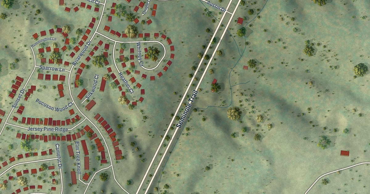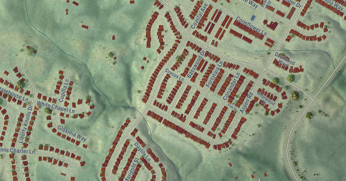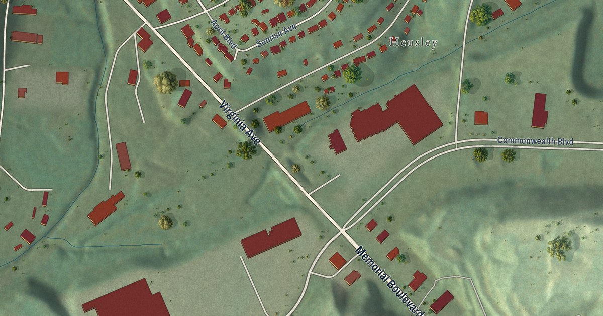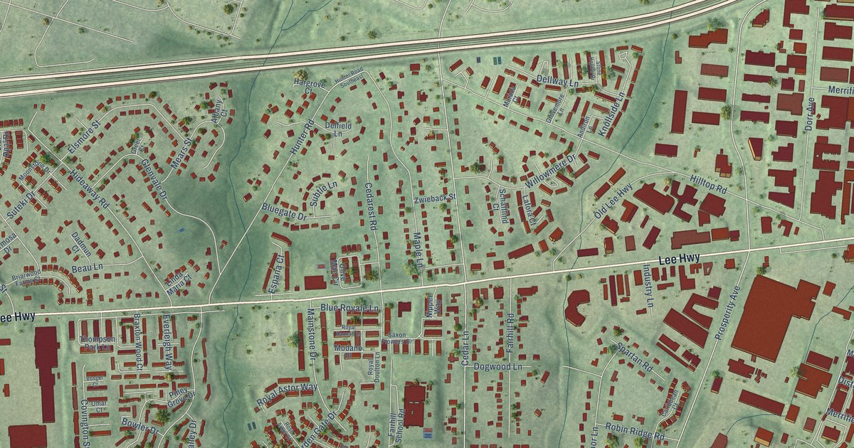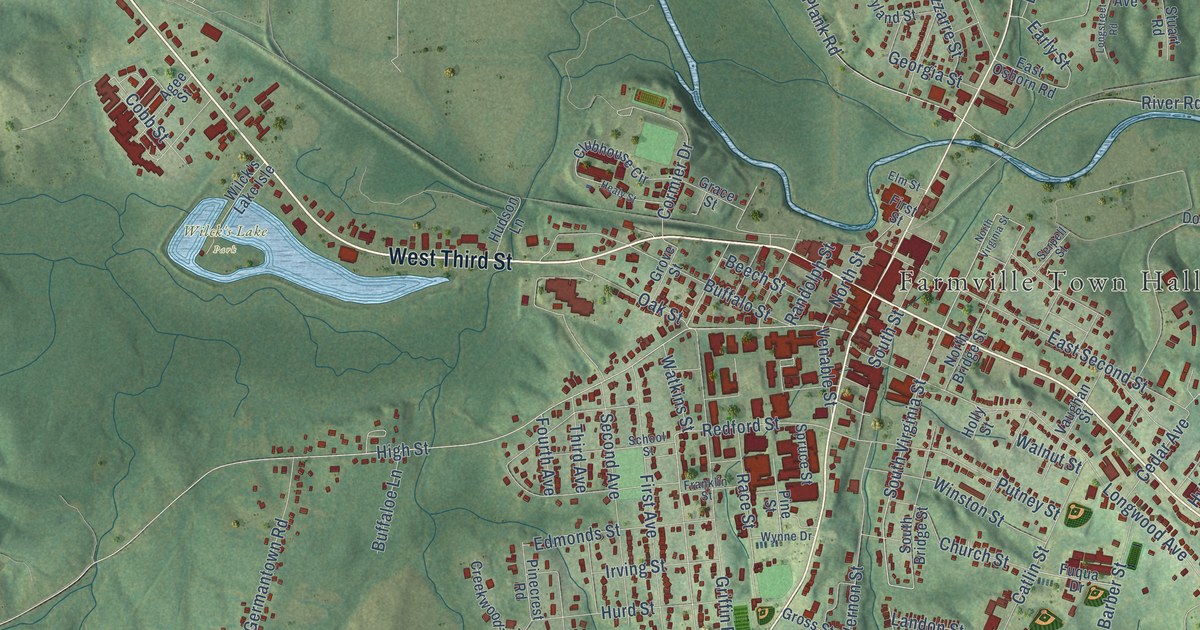
This beautifully detailed map of Farmville, Virginia was created in 2026 using aerial imagery combined with modern topographical, census, street and landmark data. It’s a one-of-a-kind view of Farmville that combines accurate data with a vintage aesthetic. The map shows every building in its true location, many of the roads carry their names, and the shaded topographic relief shows the shape of the land.
Explore an aerial view of Farmville, Virginia
On the map you’ll find Farmville Town Hall and Wilck’s Lake Park, along with West Third Street, East Third Street, North Main Street, South Main Street, South Virginia Street, Old Plank Road, Hill Street, Redford Street, Andrews Drive, Milnwood Road, and more. If you look closely you can even find your house accurately drawn in its correct location. Zoom in on the preview to look for yours.
Did you know this piece of Farmville, Virginia history?
From Vcris.dhr.virginia.gov: "The family of early settler Hercules White bought and sold real estate in Farmville and joined with white citizens to found the town's first Baptist church in 1836."
Take a closer look at the Farmville map
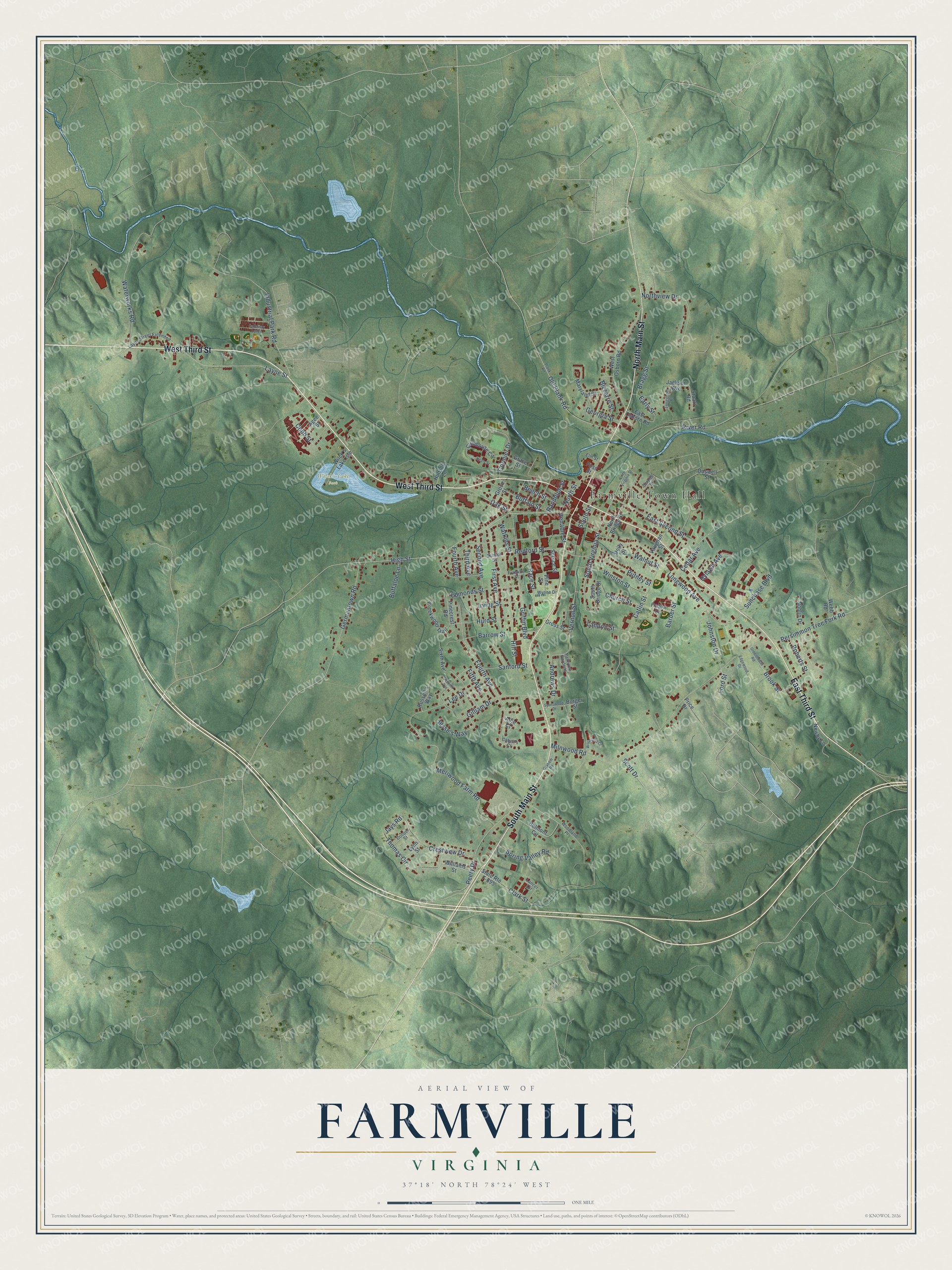
Street and place names on the Farmville, Virginia map
These names are printed on the map of Farmville, Virginia.
Places: Farmville Town Hall and Wilck's Lake Park.
Streets and roads: West Third Street, East Third Street, North Main Street, South Main Street, South Virginia Street, Old Plank Road, Hill Street, Redford Street, Andrews Drive, Milnwood Road, High Street, Longwood Avenue.
More street names, A to Z
Agee Street, Allie Court, Barber Street, Barrow Street, Beech Street, Belmont Circle, Bizzarre Street, Bragg Street, Brook Street, Buffaloe Lane, Buffalo Street, Burger Street, Cabell's Court, Callaway Lanes, Catlin Street, Cedar Avenue, Church Street, Clark Street, Clubhouse Circle, Cobb Street, Cooper Street, Cormier Drive, Creekwood Trail, Crestview Drive, Doswell Street, Early Street, East Osborn Road, East Second Street, Edgewood Drive, Edmonds Street, Elm Street, Fifth Avenue, First Avenue, First Street, Ford Street, Fourth Avenue, Franklin Street, Fuqua Drive, Georgia Street, Germantown Road, Gilliam Drive, Grace Street, Graham Road, Greenhouse Road, Griffin Boulevard, Gross Street, Grove Street, Healy Street, Holly Street, Hudson Lane, Hurd Street, Hylawn Avenue, Industrial Park Road, Irving Street, Jackson Avenue, Jays Road, Jesse's Way, Johnston Drive, Lancer Circle, Landon Street, Layne Street, Layne Street Extended, Lee Drive, Longstreet Road, Lynn Street, Maryland Street, Meriwood Farm Road, Newby Lane, Noblin Drive, North Bridge Street, North Street, Northview Drive, North Virginia Street, Oak Street, Parkview Gardens, Peery Drive, Persimmon Tree Fork Road, Pinecrest Road, Pine Street, Plank Road, Price Drive, Putney Street, Race Street, Randolph Street, River Road, Roberts Street, Russell's Way, Sanford Street, School Street, Scott Drive, Second Avenue, Serpell Street, Seventh Avenue, Sixth Avenue, South Bridge Street, South Street, Spotswood Drive, Spring Valley Road, Spruce Street, State Route F-895, Stuart Road, Sunchase Boulevard, Third Avenue, Thomas Circle, Vaughan Street, Venable Street, Vernon Street, Walnut Street, Waterworks Road, Watkins Street, Webb Road, West Osborn Road, Wilck's Lake Isle, Williams Street, Winston Street, Woodland Court, Woodland Place, Wynne Drive.
See the Farmville, Virginia map on a wall
The Farmville map as an 18 x 24 inch print in a black frame.

This beautifully detailed map of Farmville makes an attractive addition to your office, library, or den, and it can even be used to teach children the geography and history of the area. It also makes a great gift for anyone who grew up in Farmville or moved away. When you’re done exploring, click here to get your copy of the Farmville map.