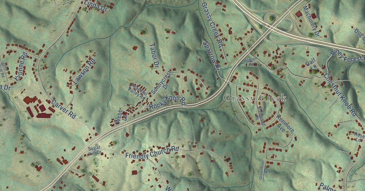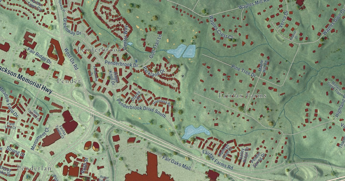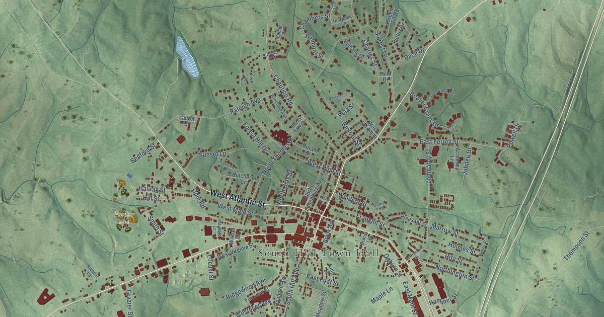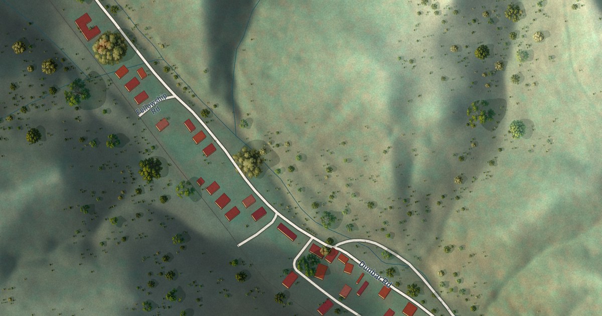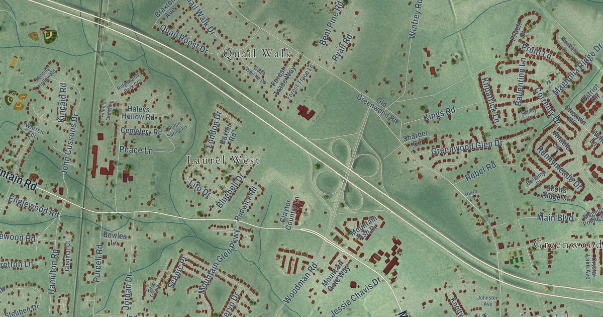
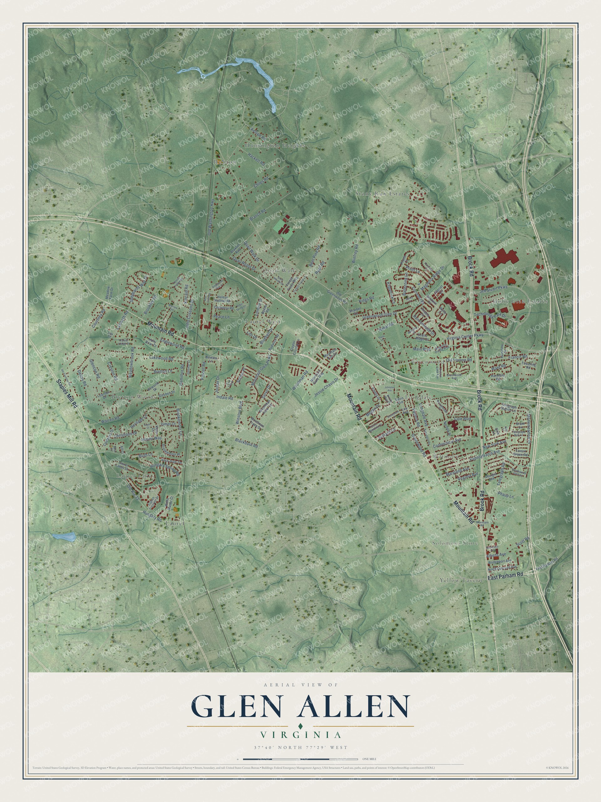
This beautifully detailed map of Glen Allen, Virginia was created in 2026 using aerial imagery combined with modern topographical, census, street and landmark data. It’s a one-of-a-kind view of Glen Allen that combines accurate data with a vintage aesthetic. The map shows every building in its true location, many of the roads carry their names, and the shaded topographic relief shows the shape of the land.
Explore an aerial view of Glen Allen, Virginia
On the map you’ll find Solomons Store, Glover Park, Biltmore, Bretton Woods, Greenwood, Holly Glen Estates, Huntington Heights, Hunton, Laurel, Laurel Lakes, Laurel West, Longdale, and more. If you look closely you can even find your house accurately drawn in its correct location. Zoom in on the preview to look for yours.
Did you know this piece of Glen Allen, Virginia history?
From Vcris.dhr.virginia.gov: "The land comprising Meadow Farm was first patented by William Sheppard in 1713."
Take a closer look at the Glen Allen map
Street and place names on the Glen Allen, Virginia map
These names are printed on the map of Glen Allen, Virginia.
Places: Solomons Store, Glover Park, Biltmore, Bretton Woods, Greenwood, Holly Glen Estates, Huntington Heights, Hunton, Laurel, Laurel Lakes, Laurel West, Longdale, Quail Walk, Stony Run Estates and Yellow Tavern.
Streets and roads: Mountain Road, Brook Road, East Parham Road, Staples Mill Road, Hungary Road, Stonemeadow Drive, Telegraph Road, Magnolia Ridge Drive, Courtney Road, Greenwood Road, Virginia Center Parkway, Jeb Stuart Parkway.
More street names, A to Z
Acworth Drive, Alf Court, Allen's Crossing, Anable Lane, Athens Avenue, Attems Way, Aubs Lane, Ballentine Lane, Battlefield Road, Baxter Road, Bellamy Place, Bent Pine Road, Berrymeade Place, Blackburn Road, Blackstone Avenue, Bluebell Drive, Bowles Lane, Branch Road, Brant Lane, Braxton Avenue, Bretton Lane, Bridgeport Avenue, Brilland Court, Brookemoor Lane, Brookemoor Place, Brookley Road, Brookwood Glen Lane, Brushwood Avenue, Bush Lane, Cemetery Road, Chiles Road, Christiano Drive, Claytor Country Lane, Cole Boulevard, Connecticut Avenue, Contessa Drive, Correnty Drive, Creston Road, Crystal Lake Avenue, Davis Avenue, Delray Road, Dink Lane, Edel Court, Englewood Road, English Crescent Drive, Forest Lodge Drive, Forest Trace Lane, Forest Trace Way, Francis Road, Garth Lane, Georgia Avenue, Glencoe Road, Glenmar Court, Greenstone Court, Greenwood Glen Drive, Hackett Road, Haleys Hollow Road, Hamilton Road, Harmony Road, Heritage Lane, Holly Briar Court, Hungary Spring Road, Hunting Hollow Road, Indale Road, Ismet Court, Jessie Chavis Drive, John Cussons Drive, Johnston Avenue, Jordan Drive, Kellipe Road, Kilpatrick Lane, Kincaid Road, Kings Road, Klaus Circle, Klaus Court, Knotty Drive, Knotty Way Drive, Lakewood Road, Lambeth Road, Laurel Lakes Drive, Leander Drive, Lee Avenue, Link Road, Lito Drive, London Drive, Longdale Avenue, Magnolia Pointe Boulevard, Main Boulevard, Maryland Avenue, Meadowbrook Road, Meadow Farm Drive, Megan Drive, Mountain Ash Drive, Mountain Gate Way, Mountain Glen Parkway, New York Avenue, Norfolk Street, North Concord Avenue, Old Courtney Road, Old Francis Road, Old Greenwood Road, Old Route 33, Old Washington Highway, Park Tree Place, Patriot Circle, Peace Lane, Pennsylvania Avenue, Peterfield Lane, Phaup Lane, Pruett Court, Pruitt Lane, Purcell Road, Quail Roost Drive, Quail Walk Drive, Quail Whistle Drive, Rebel Road, Ridgewood Park Court, Robin Spring Lane, Rudwick Road, Runnymeade Drive, Ryall Road, Sara Jean Terrace, Scenic Place, Scott Road, Scotts Ridge Court, Servo Drive, Sharbel Circle, Sheppards Way Drive, Sherwin Place, Sidney Court, Steuben Drive, Tavern Green Road, Technology Park Drive, Telegraph Run Lane, Telegraph Station Lane, Towering Road, Turner Mountain Place, Virginia Avenue, Virginia Road, Ward Road, Warren Road, Warren Terrace, Washington Road, Winfrey Road, Winston Boulevard, Wolfe Manor Court, Woodman Hills Terrace, Woodman Road, Woodman Trace Drive, Wylie Lane.
See the Glen Allen, Virginia map on a wall
The Glen Allen map as an 18 x 24 inch print in a black frame.

This beautifully detailed map of Glen Allen makes an attractive addition to your office, library, or den, and it can even be used to teach children the geography and history of the area. It also makes a great gift for someone who left Glen Allen and still calls it home. When you’re done exploring, click here to get your copy of the Glen Allen map.