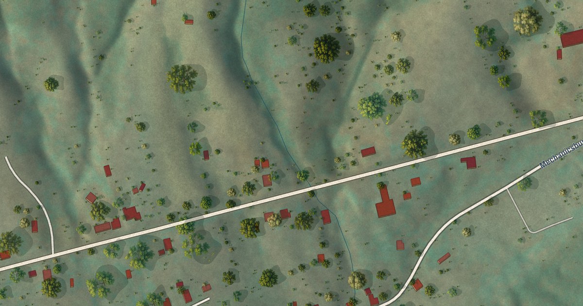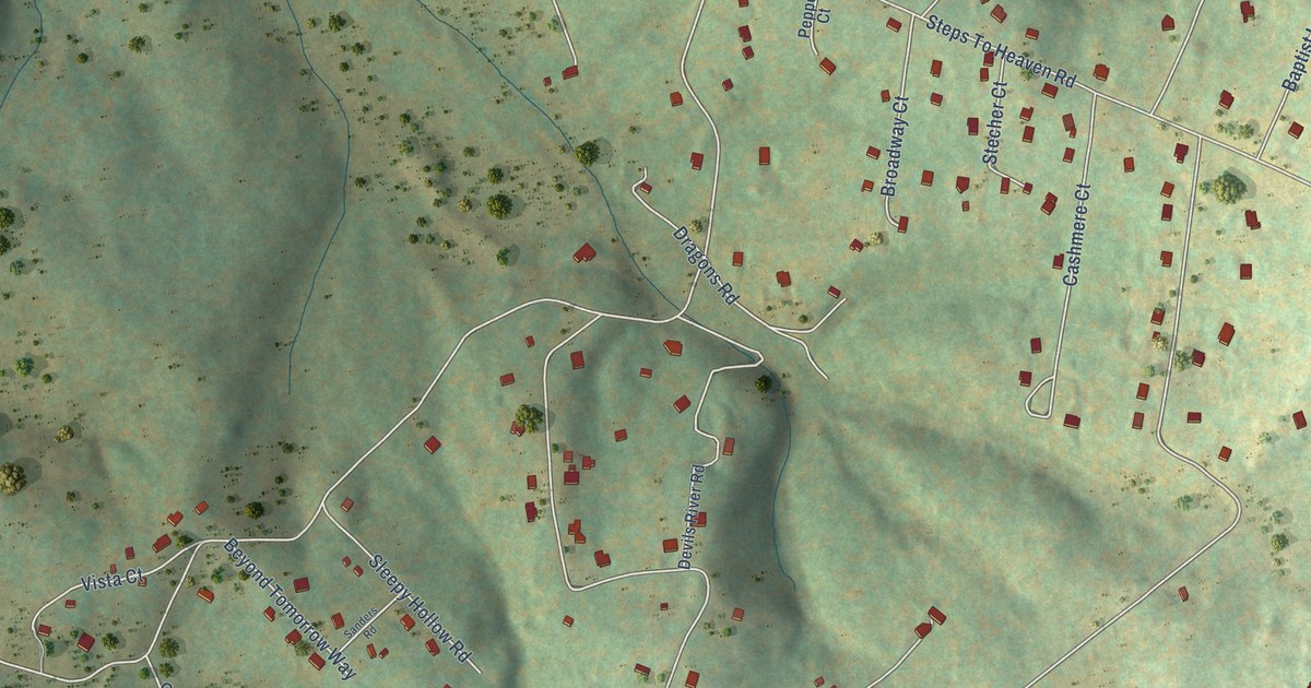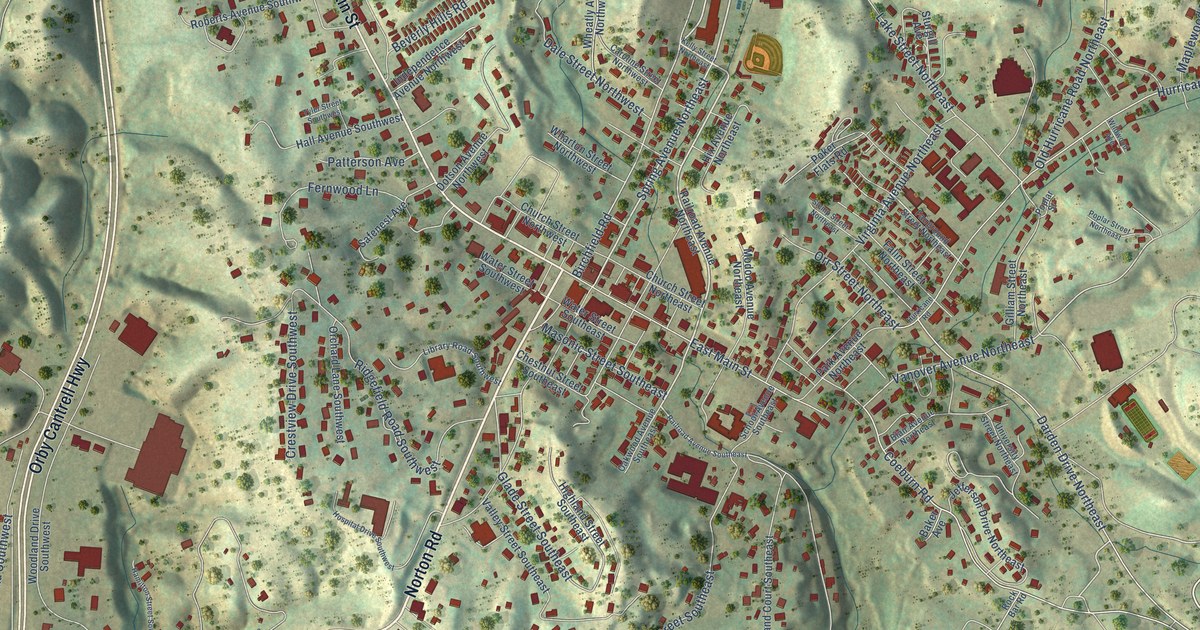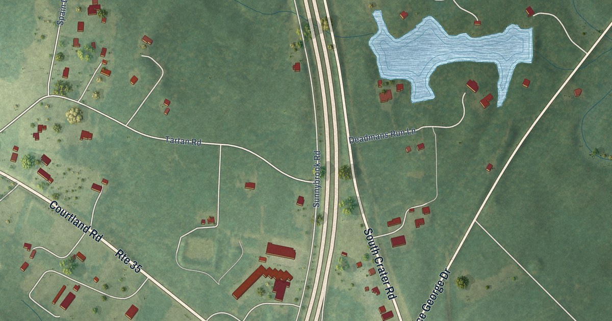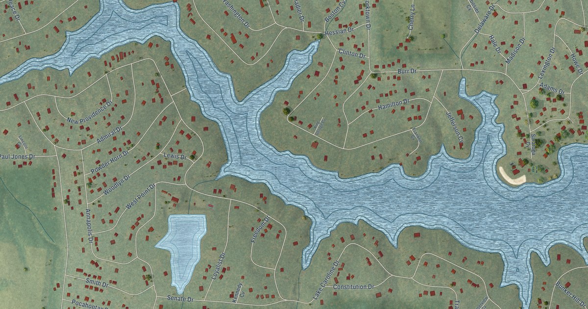
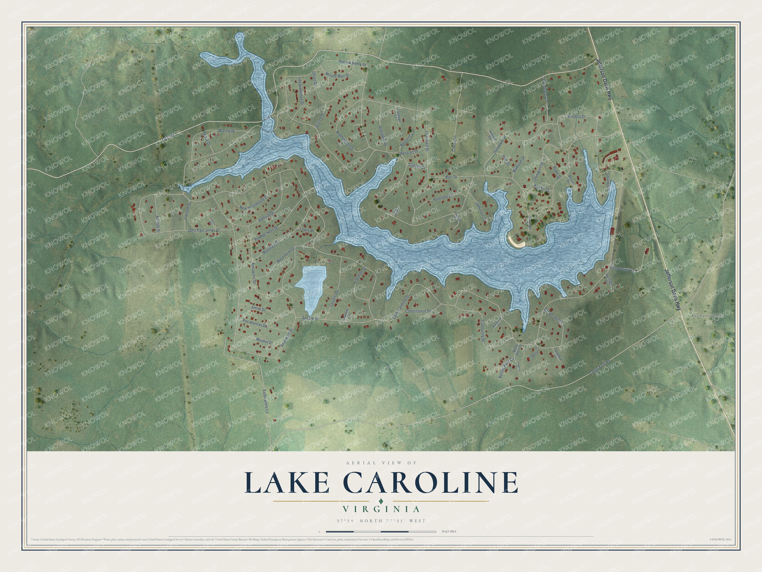
This beautifully detailed map of Lake Caroline, Virginia was created in 2026 using aerial imagery combined with modern topographical, census, street and landmark data. It's a modern aerial view of Lake Caroline in Caroline County, Virginia, that combines modern data with a vintage aesthetic. The roads feature printed names, and if you look closely you can find your exact house accurately shown in its correct location.
Explore an aerial view of Lake Caroline, Virginia
On this map you'll find Golansville, Jefferson Davis Highway, CCC Road, Betsey Ross Cv, Lake Caroline Drive, Cedar Fork Road, American Drive, Patrick Henry Drive, Yorktown Drive, John Paul Jones Drive, Satterwhite Lane, Delaware Drive, and more. Each red shape is a building, so zoom in on the preview and look for yours.
Lake Caroline is a community in Caroline County. The Census Bureau counted 2,511 people here in 2020. Lake Caroline sits about 3 miles southeast of Lake Land'Or, 10 miles southwest of Bowling Green and 15 miles south of Spotsylvania Courthouse. The map prints the town name in its title panel, with the coordinates below it.
Take a closer look at the Lake Caroline map
Names on this map
These names are printed on this map.
Places: Golansville.
Streets and roads: Jefferson Davis Highway, CCC Road, Betsey Ross Cv, Lake Caroline Drive, Cedar Fork Road, American Drive, Patrick Henry Drive, Yorktown Drive, John Paul Jones Drive, Satterwhite Lane, Delaware Drive, Annapolis Drive.
More street names, A to Z
Adams Drive, Admiral Drive, Beaver Cv, Betsy Ross Cv, Boston Cv, Bunker Hill Drive, Burr Drive, Cannon Drive, Cherry Lane, Clinton Drive, Columbia Drive, Constitution Drive, Franklin Cv, Freedom Drive, Grenadier Drive, Hale Drive, Hamilton Drive, Heritage Cv, Hessian Drive, Hoosier Cv, Howe Drive, Independence Drive, Jefferson Cv, Justice Drive, Kennedy Cv, King George Cv, Lewis Drive, Lexington Drive, Liberty Cv, Lincoln Cv, Loyalist Drive, Madison Drive, Minute Man Drive, Musket Drive, New Providence Drive, Norfolk Drive, Peace Drive, Pocahontas Drive, Poindexter Lane, Posterity Cv, Powder Horn Drive, Pumphouse Lane, Rutledge Cv, Saratoga Cv, Senate Drive, Smith Drive, Stafford Cv, Tranquility Drive, Union Drive, Waring Drive, Washington Drive, Waterview Cv, Waverly Drive, West Point Drive, Woodlyn Drive.
See it on a wall
The Lake Caroline map as a framed print. Swipe for more.


Created by KNOWOL in 2026. The buildings are small red shapes, the roads carry their printed names, and shaded relief shows the shape of the land. The title panel reads "AERIAL VIEW OF LAKE CAROLINE, VIRGINIA" with 37°59' NORTH 77°31' WEST.
Hang it in the hallway, the office or the cabin, or give it to someone who left Lake Caroline and still calls it home. Open the preview and look for a street you know. See sizes and frames for the Lake Caroline map.