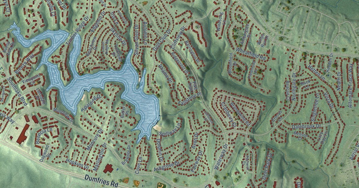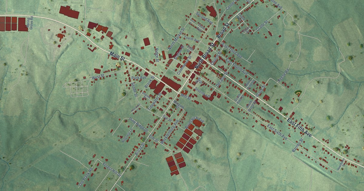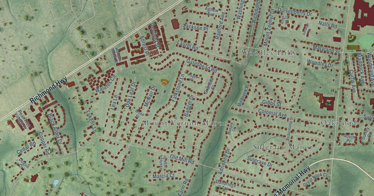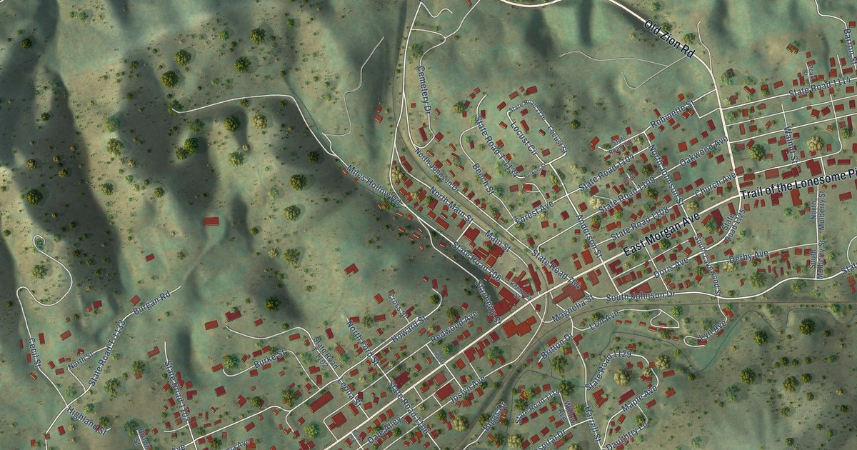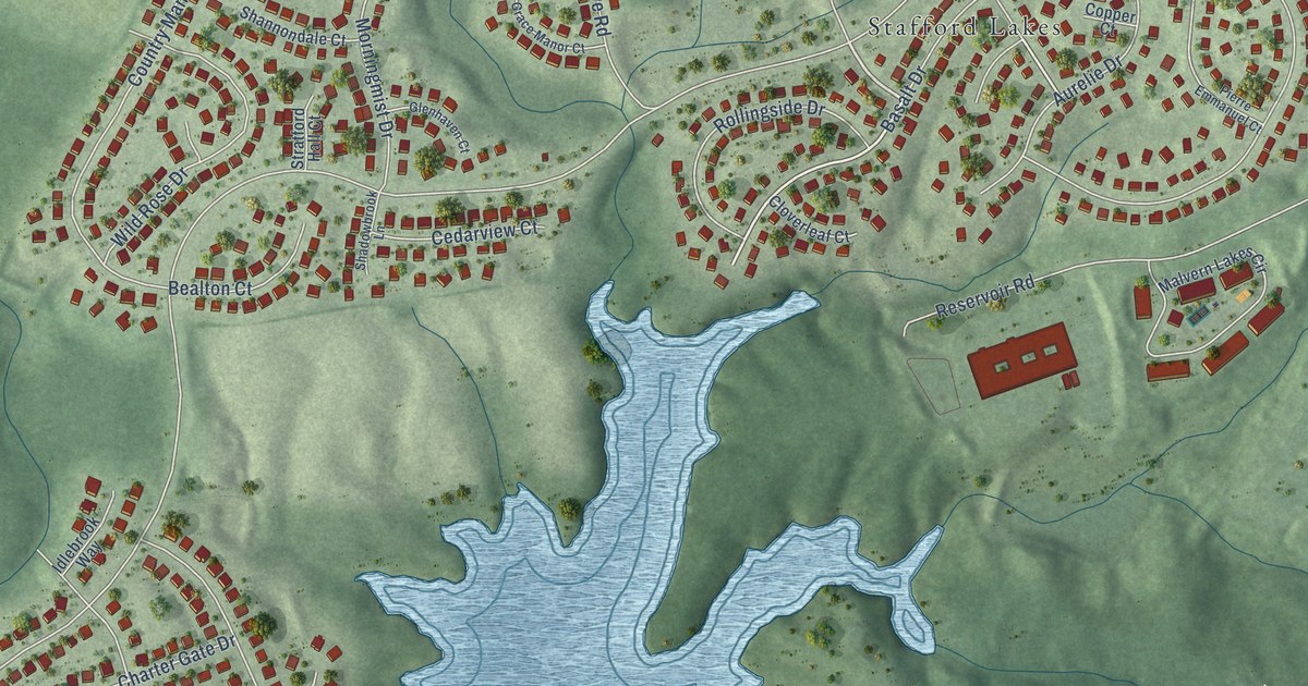
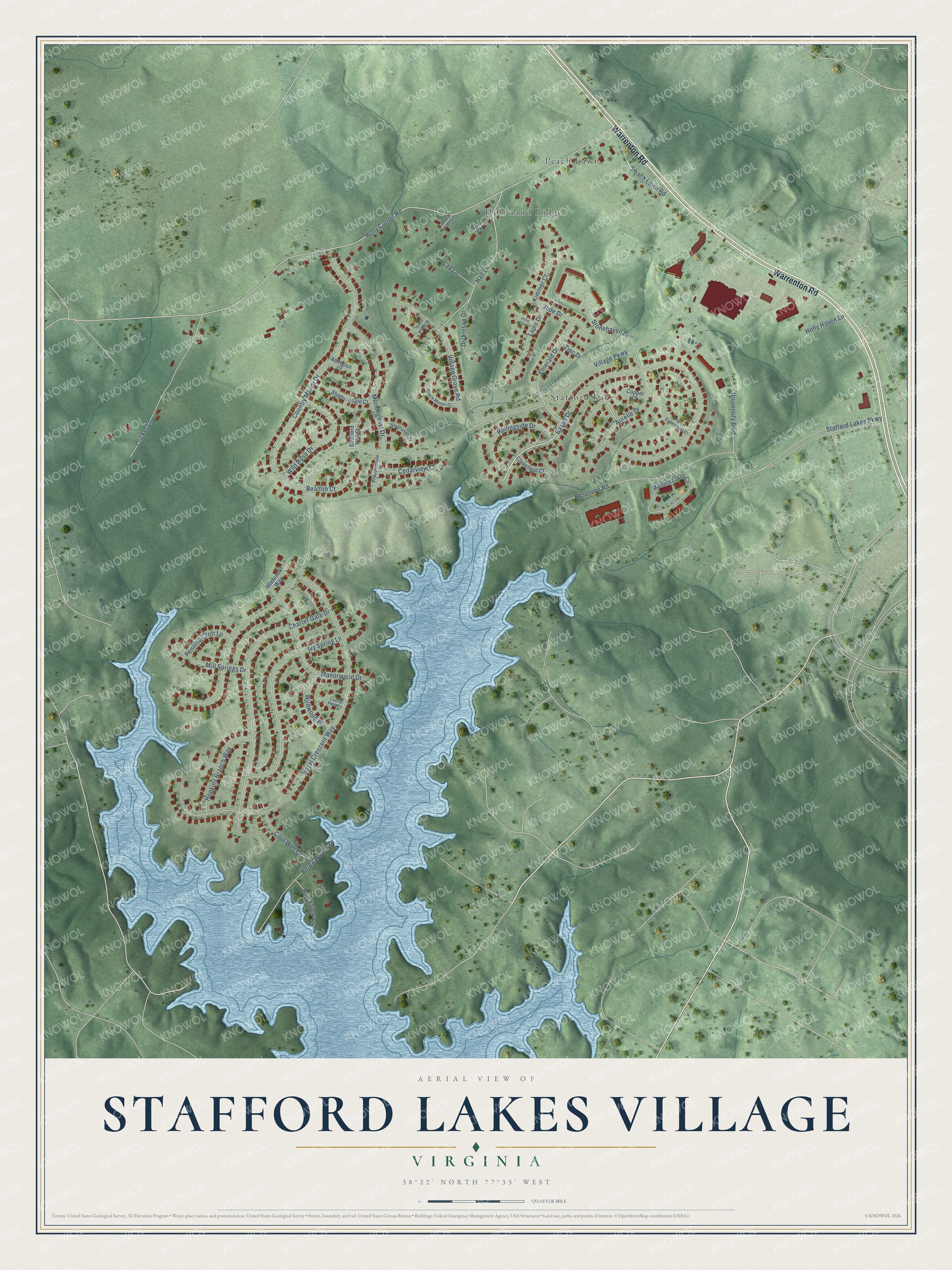
This beautifully detailed map of Stafford Lakes Village, Virginia was created in 2026 using aerial imagery combined with modern topographical, census, street and landmark data. It's a modern aerial view of Stafford Lakes Village in Stafford County, Virginia, that combines modern data with a vintage aesthetic. The roads feature printed names, and if you look closely you can find your exact house accurately shown in its correct location.
Explore an aerial view of Stafford Lakes Village, Virginia
On this map you'll find Stafford Lakes, Peach Lawn, Heartland Ridge, Warrenton Road, Village Parkway, Holly Corner Road, Basalt Drive, Royal Crescent Way, Country Manor Drive, Charter Gate Drive, University Boulevard, Ivy Spring Lane, and more. Each red shape is a building, so zoom in on the preview and look for yours.
Stafford Lakes Village is a community in Stafford County. Stafford Lakes Village sits about 2 miles west of England Run, 3 miles west of Falls Run and 5 miles northwest of Falmouth. The map prints the town name in its title panel, with the coordinates below it.
Take a closer look at the Stafford Lakes Village map
Names on this map
These names are printed on this map.
Places: Stafford Lakes, Peach Lawn and Heartland Ridge.
Streets and roads: Warrenton Road, Village Parkway, Holly Corner Road, Basalt Drive, Royal Crescent Way, Country Manor Drive, Charter Gate Drive, University Boulevard, Ivy Spring Lane, Reservoir Road, Hall Lane, Village Grove Road.
More street names, A to Z
Abington Court, Aurelie Drive, Bealton Court, Berea Woods Drive, Brookview Lane, Byrd Court, Cedarview Court, Cloverleaf Court, Cool Well Court, Copper Court, Cricket Lane, Dickinson Drive, Emerald Drive, Glenhaven Court, Grace Manor Court, Holly Haven Lane, Hopkins Branch Way, Idlebrook Way, Jade Drive, Jolie Court, Kimmer Court, Lad Lane, Lapis Drive, Laurel Pine Court, Malvern Lakes Circle, Manorwood Drive, Mill Springs Drive, Morningmist Drive, Peach Lawn Road, Peach Tree Lane, Penning Croft Lane, Pierre Emmanuel Court, Rollingside Drive, Shadowbrook Lane, Shannondale Court, Silent Woods Place, Stafford Lakes Parkway, Stonehaven Drive, Stratford Hall Court, Wild Rose Drive, Wildwood Place, Zinc Drive.
See it on a wall
The Stafford Lakes Village map as a framed print. Swipe for more.


Created by KNOWOL in 2026. The buildings are small red shapes, the roads carry their printed names, and shaded relief shows the shape of the land. The title panel reads "AERIAL VIEW OF STAFFORD LAKES VILLAGE, VIRGINIA" with 38°22' NORTH 77°33' WEST.
It suits a den, a classroom or a front hall, and it makes a gift for anyone with Stafford Lakes Village roots. Open the preview and find the block you know. See sizes and frames for the Stafford Lakes Village map.