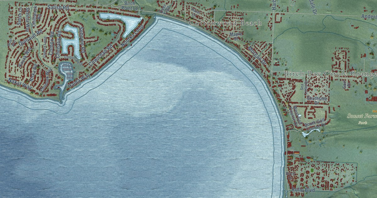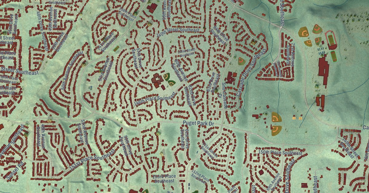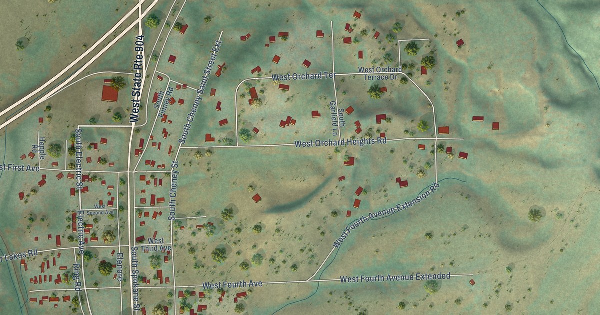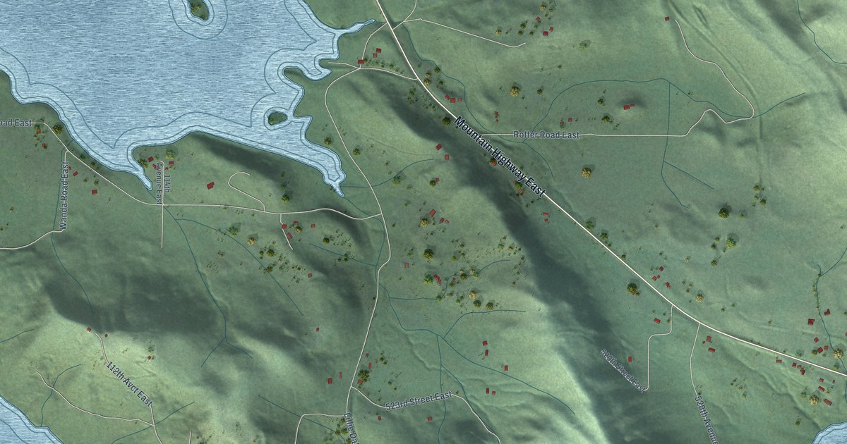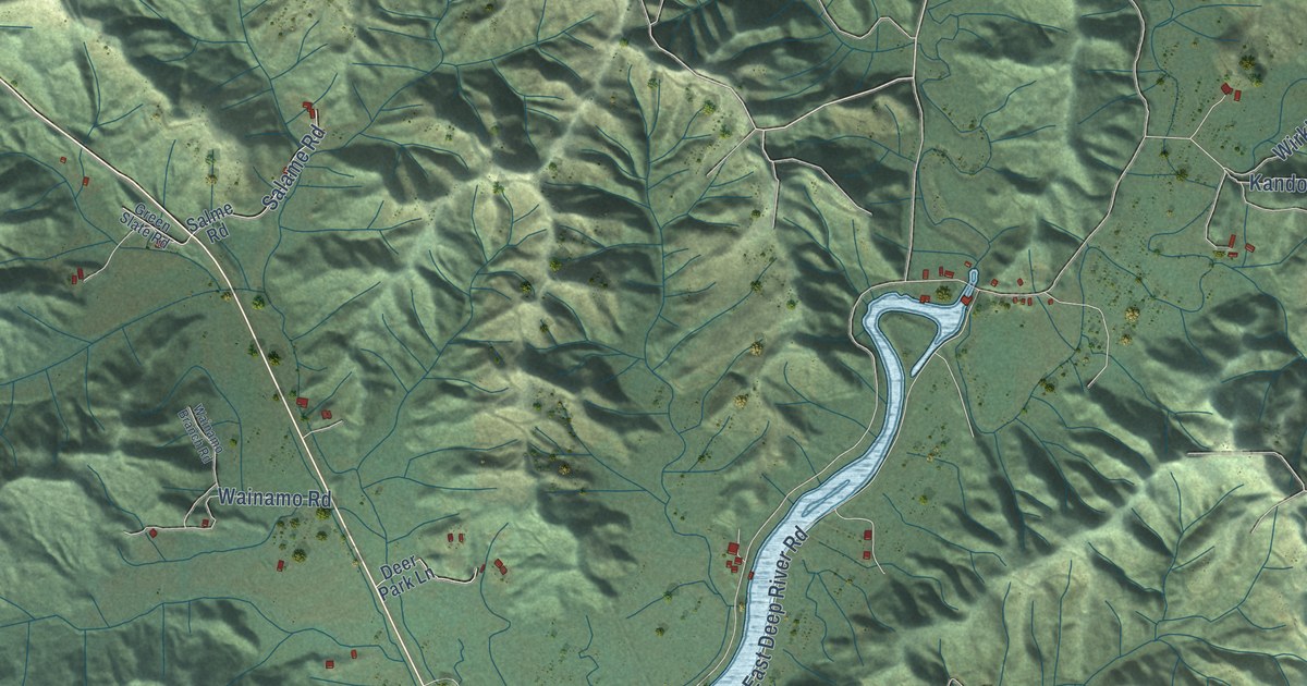
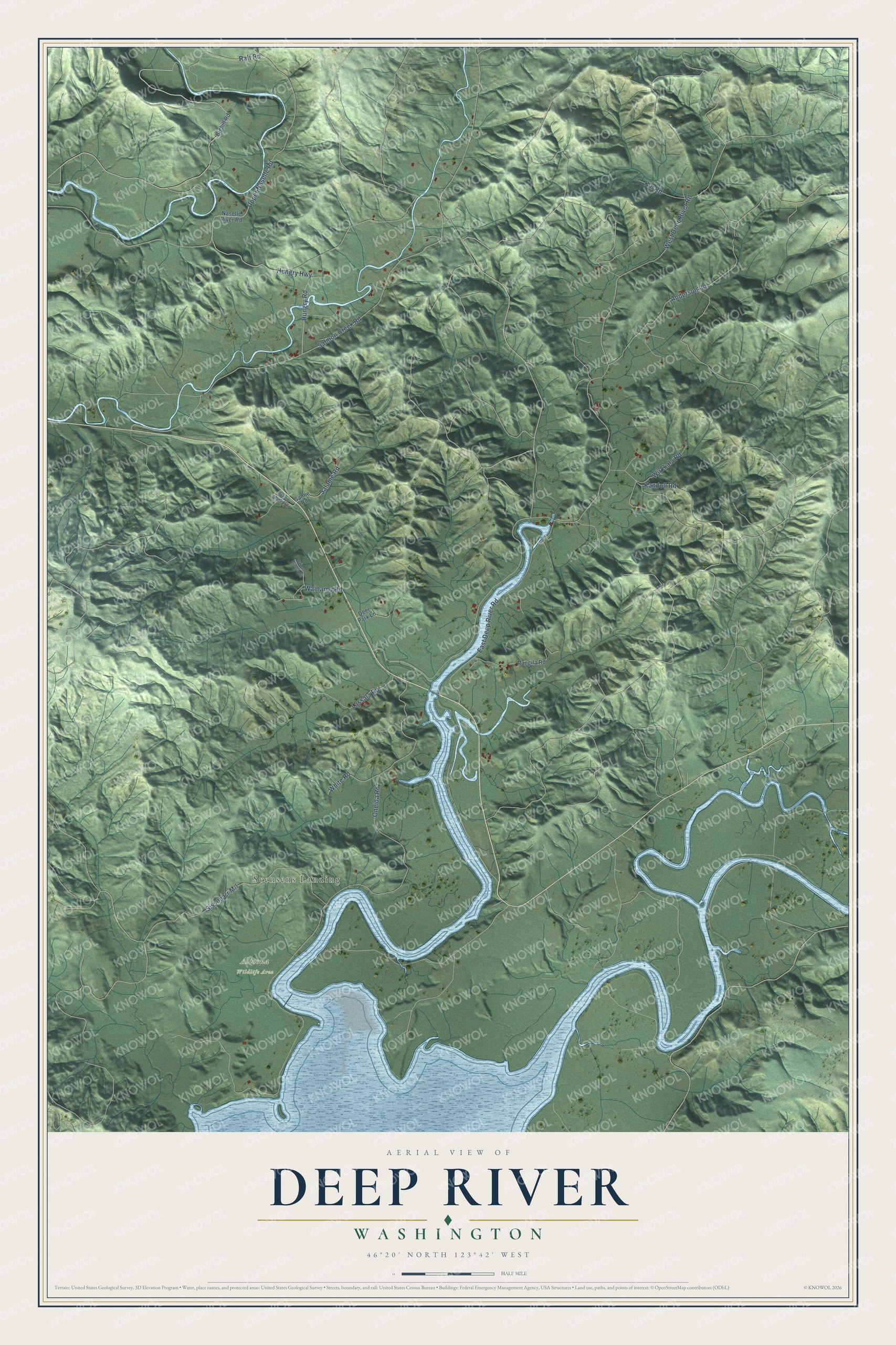
This beautifully detailed map of Deep River, Washington was created in 2026 using aerial imagery combined with modern topographical, census, street and landmark data. It's a modern aerial view of Deep River in Wahkiakum County, Washington, that combines modern data with a vintage aesthetic. The roads feature printed names, and if you look closely you can find your exact house accurately shown in its correct location.
Explore an aerial view of Deep River, Washington
On this map you'll find Svensens Landing, Altoona Wildlife Area, Upper Naselle Road, Raff Road, Wirkkala Road, Salmon Creek Road, West Deep River Road, Oneida Road, East Deep River Road, Hungry Highway, Hungry Road, Anderson Road, and more. Each red shape is a building, so zoom in on the preview and look for yours.
Every town has a first chapter, and Deep River is no exception. The Deep River Lutheran congregation, mostly pioneer settlers from Finland, was organized in 1894 and met in homes and schoolhouses until its church was finished in 1902. Erik Maunula, a local farmer who was also a skilled mechanic, gave the land, and the church became the social center of the valley. Years later, when the empty church was falling apart and neighbors tried to buy its lumber, descendants of the first members took it over. They fixed the roof, straightened the steeple and restored it. That's from the National Register of Historic Places.
Deep River is a community in Wahkiakum County. The Census Bureau counted 217 people here in 2020.
Take a closer look at the Deep River map
Names on this map
These names are printed on this map.
Places: Svensens Landing and Altoona Wildlife Area.
Streets and roads: Upper Naselle Road, Raff Road, Wirkkala Road, Salmon Creek Road, West Deep River Road, Oneida Road, East Deep River Road, Hungry Highway, Hungry Road, Anderson Road, Kandoll Road, Lassala Road.
More street names, A to Z
Bighill Road, Deer Park Lane, Green Slate Road, Kin Road, Naselle River Road, Rangila Road, Salame Road, Salme Road, Wainamo Branch Road, Wainamo Road, White Road.
See it on a wall
The Deep River map as a framed print. Swipe for more.


Created by KNOWOL in 2026. The buildings are small red shapes, the roads carry their printed names, and shaded relief shows the shape of the land. The title panel reads "AERIAL VIEW OF DEEP RIVER, WASHINGTON" with 46°20' NORTH 123°42' WEST.
Hang it in the hallway, the office or the cabin, or give it to someone who left Deep River and still calls it home. Open the preview and look for a street you know. See sizes and frames for the Deep River map.