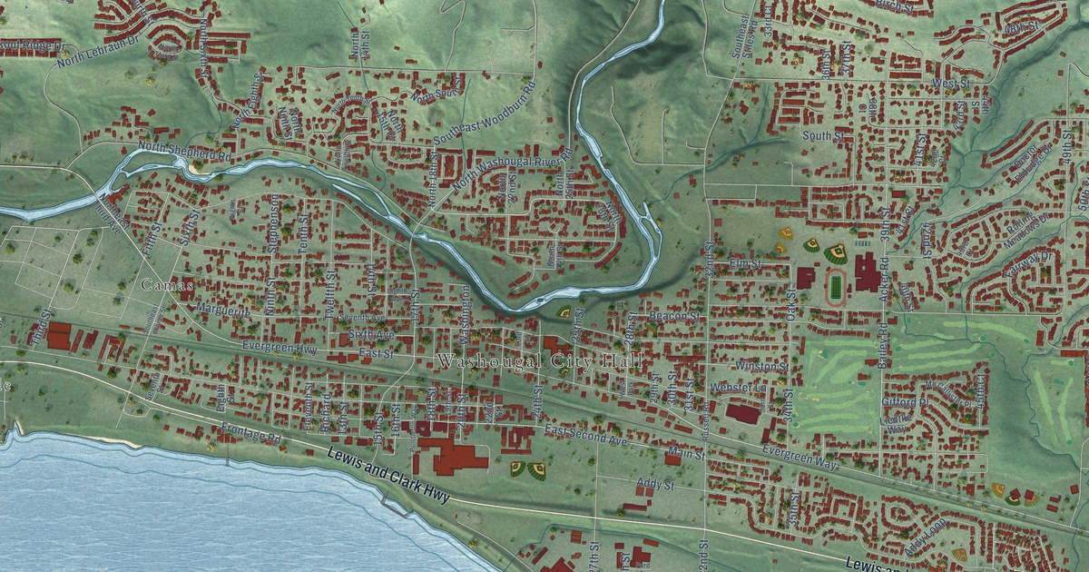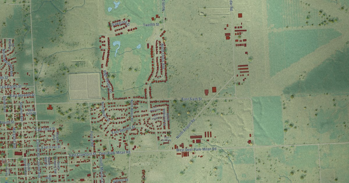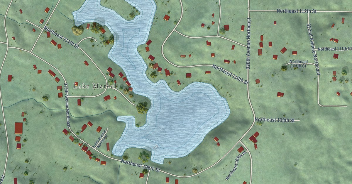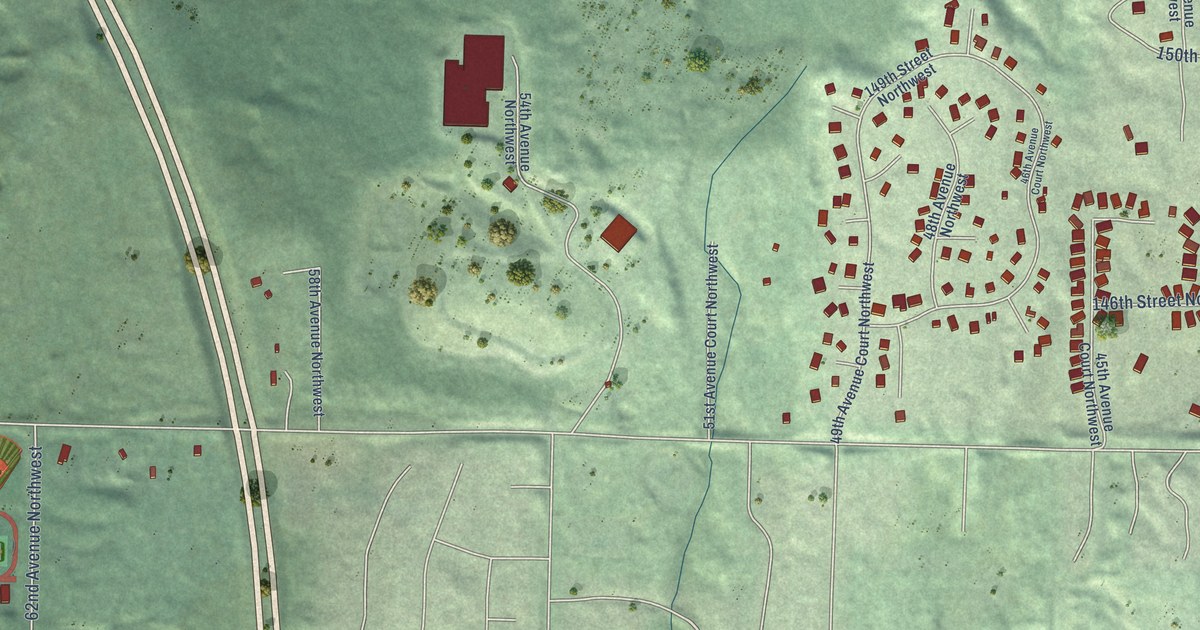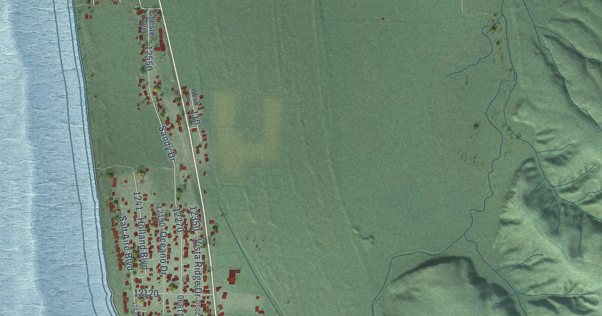
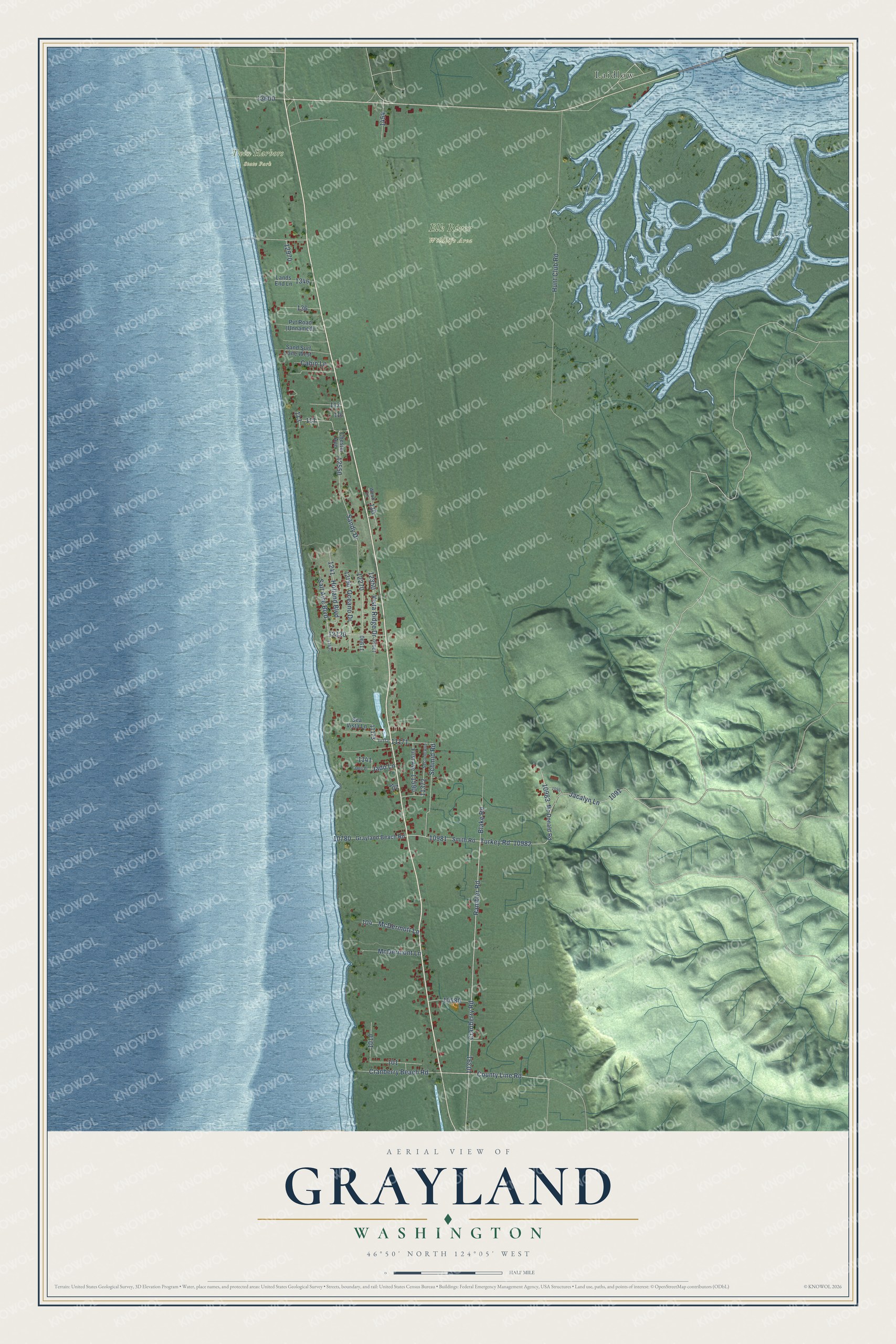
This beautifully detailed map of Grayland, Washington was created in 2026 using aerial imagery combined with modern topographical, census, street and landmark data. It's a modern aerial view of Grayland in Grays Harbor County, Washington, that combines modern data with a vintage aesthetic. The roads feature printed names, and if you look closely you can find your exact house accurately shown in its correct location.
Explore an aerial view of Grayland, Washington
On this map you'll find Elk River Wildlife Area, Twin Harbors State Park, Laidlow, Rambler Road, Turkey Road, County Line Road, Jado Lane, Cranberry Road, Hunt Club Road, Sandy Drive, Schmid Road, Jacalyn Lane, and more. Each red shape is a building, so zoom in on the preview and look for yours.
Every town has a first chapter, and Grayland is no exception. Grayland's name joins that of Robert Gray, who discovered Grays Harbor, with the word land, for poetic effect. It grew up as a village of Finnish cranberry growers, with more than 100 cranberry bogs nearby and neat houses each set at the edge of its own cranberry field. In the 1940s the Finns still kept Midsummer Day, the twenty-fourth of June, with bonfires, folk dancing and traditional costumes, and the festivities usually lasted all night. That's from the Washington Trust for Historic Preservation.
Grayland is a community in Grays Harbor County. The Census Bureau counted 847 people here in 2020.
Take a closer look at the Grayland map
Names on this map
These names are printed on this map.
Places: Elk River Wildlife Area, Twin Harbors State Park and Laidlow.
Streets and roads: Rambler Road, Turkey Road, County Line Road, Jado Lane, Cranberry Road, Hunt Club Road, Sandy Drive, Schmid Road, Jacalyn Lane, Cranberry Beach Road, Holland Boulevard, Salt Aire Boulevard.
More street names, A to Z
Blake Road, Cabin Lane, Chester Avenue, First Avenue, Grayland Beach Road, Jado Place, Lands End Lane, McDermont Lane, McDermott Lane, Mc Donald Road, Oceano Drive, Sand Surf Lane West, Sea Vista Lane, Second Avenue, Smith Road, Vista Ridge Drive, Wood Lane.
See it on a wall
The Grayland map as a framed print. Swipe for more.


Created by KNOWOL in 2026. The buildings are small red shapes, the roads carry their printed names, and shaded relief shows the shape of the land. The title panel reads "AERIAL VIEW OF GRAYLAND, WASHINGTON" with 46°50' NORTH 124°05' WEST.
Hang it in the hallway, the office or the cabin, or give it to someone who left Grayland and still calls it home. Open the preview and look for a street you know. See sizes and frames for the Grayland map.