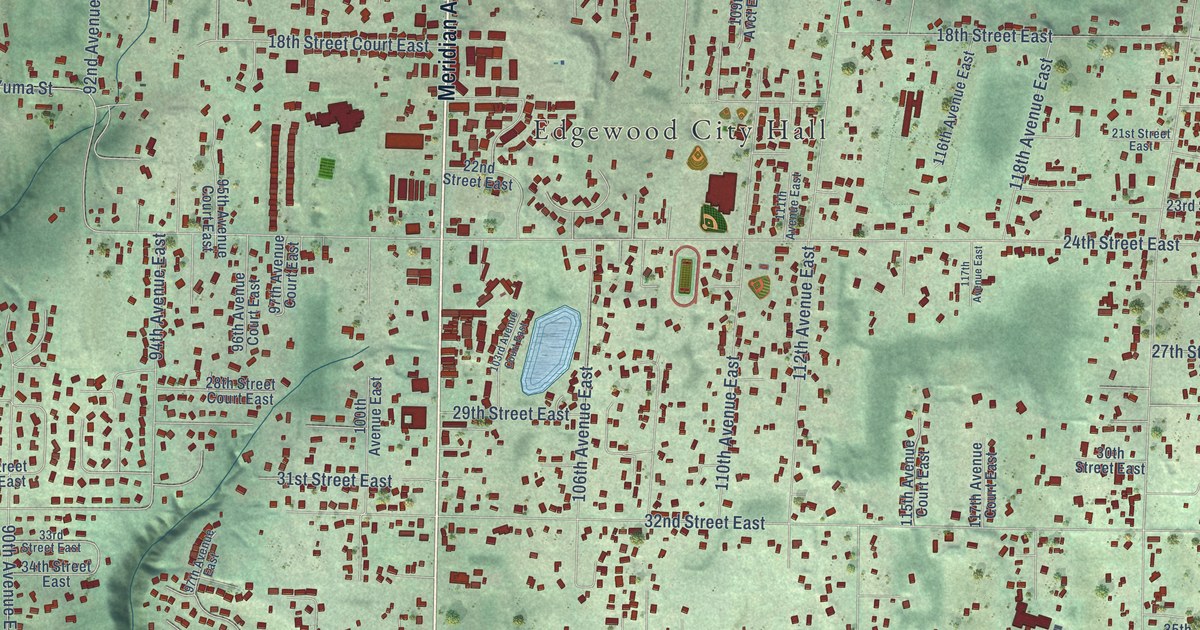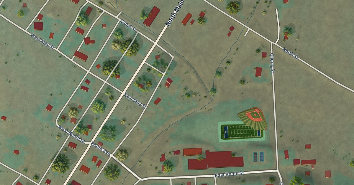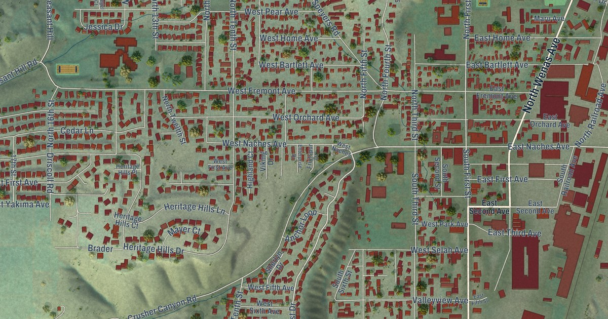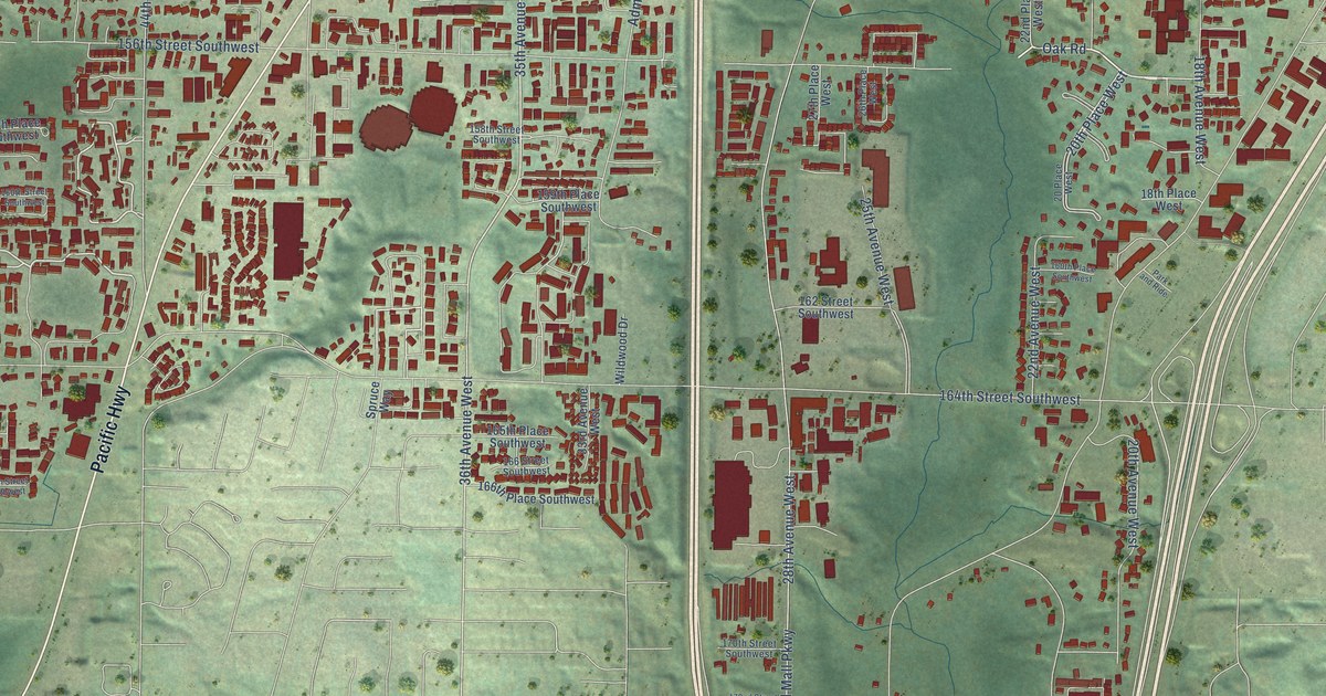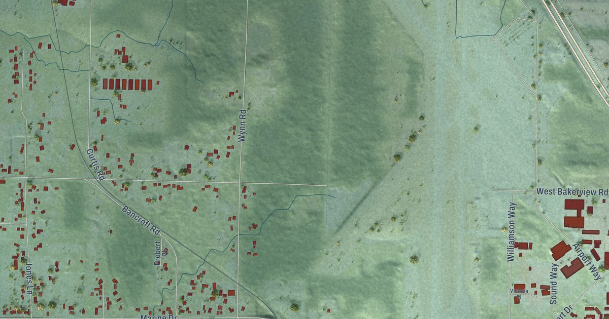
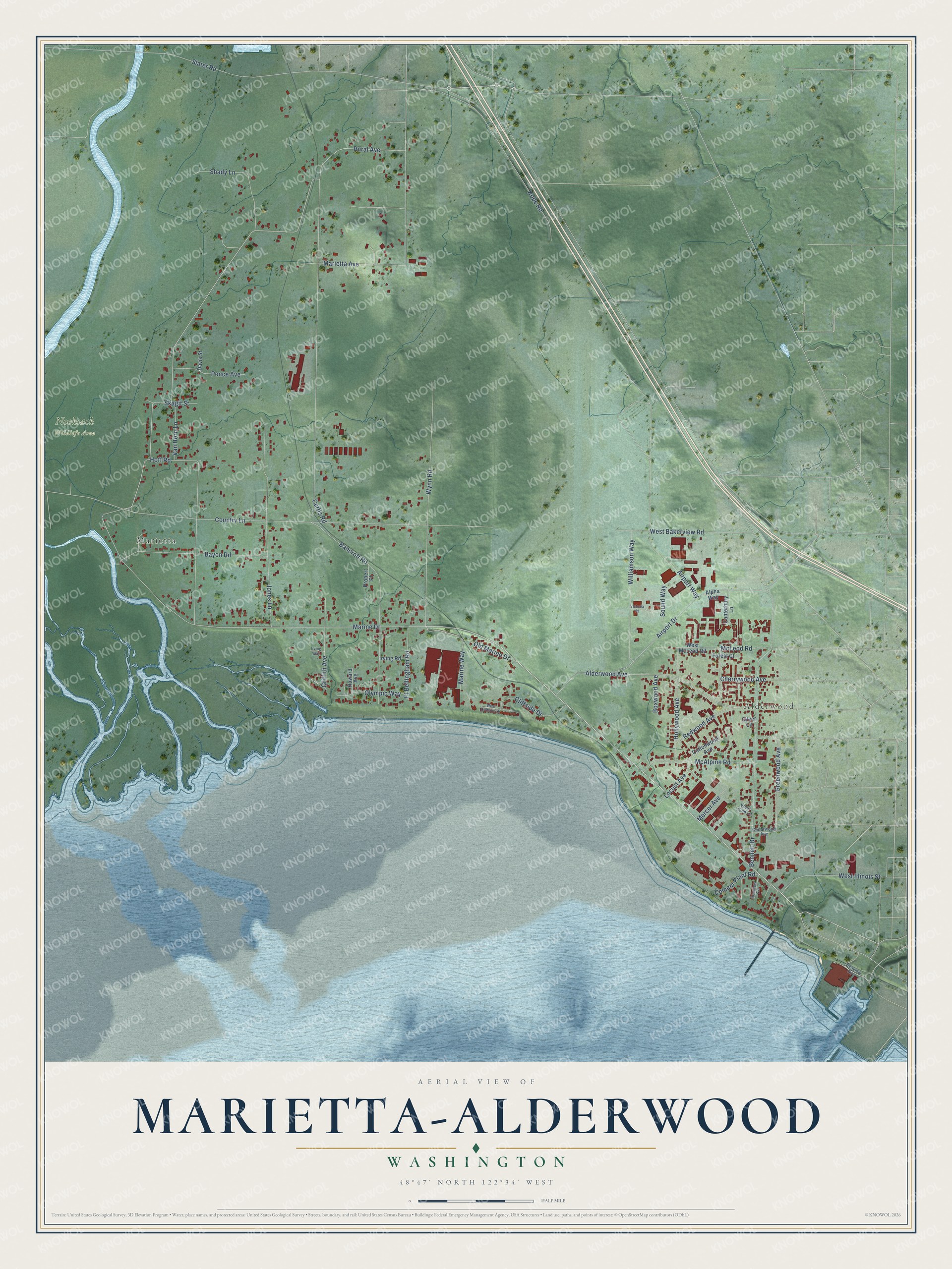
This beautifully detailed map of Marietta-Alderwood, Washington was created in 2026 using aerial imagery combined with modern topographical, census, street and landmark data. It's a modern aerial view of Marietta-Alderwood in Whatcom County, Washington, that combines modern data with a vintage aesthetic. The roads feature printed names, and if you look closely you can find your exact house accurately shown in its correct location.
Explore an aerial view of Marietta-Alderwood, Washington
On this map you'll find Alderwood, Marietta, Nooksack Wildlife Area, Marine Drive, Slater Road, Rural Avenue, Marietta Avenue, Wynn Road, Curtis Road, Country Lane, Bennett Drive, Alderwood Avenue, and more. Each red shape is a building, so zoom in on the preview and look for yours.
Every town has a first chapter, and Marietta-Alderwood is no exception. Marietta's post office was called Lummi until 1892, when its name was changed to Marietta. The new name honored Mary Etta, a daughter of homesteaders Solomon and Mary Allen who had died. Marietta was once a town of considerable importance, when riverboats ran up the Nooksack River to Ferndale and Lynden. That's from the Washington Trust for Historic Preservation.
Marietta-Alderwood is a community in Whatcom County. The Census Bureau counted 4,015 people here in 2020.
Take a closer look at the Marietta-Alderwood map
Names on this map
These names are printed on this map.
Places: Alderwood, Marietta and Nooksack Wildlife Area.
Streets and roads: Marine Drive, Slater Road, Rural Avenue, Marietta Avenue, Wynn Road, Curtis Road, Country Lane, Bennett Drive, Alderwood Avenue, Bancroft Road, Hoff Road, Jones Lane.
More street names, A to Z
Airport Drive, Airport Way, Alpha Way, Bayon Road, Boxwood Avenue, Canterbury Lane, Cedarwood Avenue, Cement Plant Road, Cherrywood Avenue, Cliffside Drive, Cottonwood Avenue, Davis Street, Forest Court, Ft Bellingham Road, Greenwood Avenue, Griffith Avenue, Hollywood Avenue, Howard Avenue, Irving Road, Irving Way, Kope Road, Locust Avenue, Marine Way, McAlpine Road, McLeod Road, Mercer Avenue, Old Marine Drive, Olympic Way, Pence Avenue, Probert Place, Redwood Avenue, Seaview Avenue, Seaview Circle, Shady Lane, Silver Lane, Skagit Street, Sound Way, Van Horn Lane, Victoria Place, West 32nd Lane, West Bakerview Road, West Cliffside Drive, West Illinois Street, West McLeod Road, Williamson Way.
See it on a wall
The Marietta-Alderwood map as a framed print. Swipe for more.


Created by KNOWOL in 2026. The buildings are small red shapes, the roads carry their printed names, and shaded relief shows the shape of the land. The title panel reads "AERIAL VIEW OF MARIETTA-ALDERWOOD, WASHINGTON" with 48°47' NORTH 122°34' WEST.
Hang it in the hallway, the office or the cabin, or give it to someone who left Marietta-Alderwood and still calls it home. Open the preview and look for a street you know. See sizes and frames for the Marietta-Alderwood map.