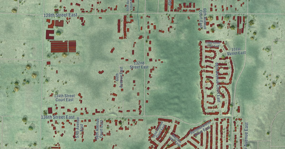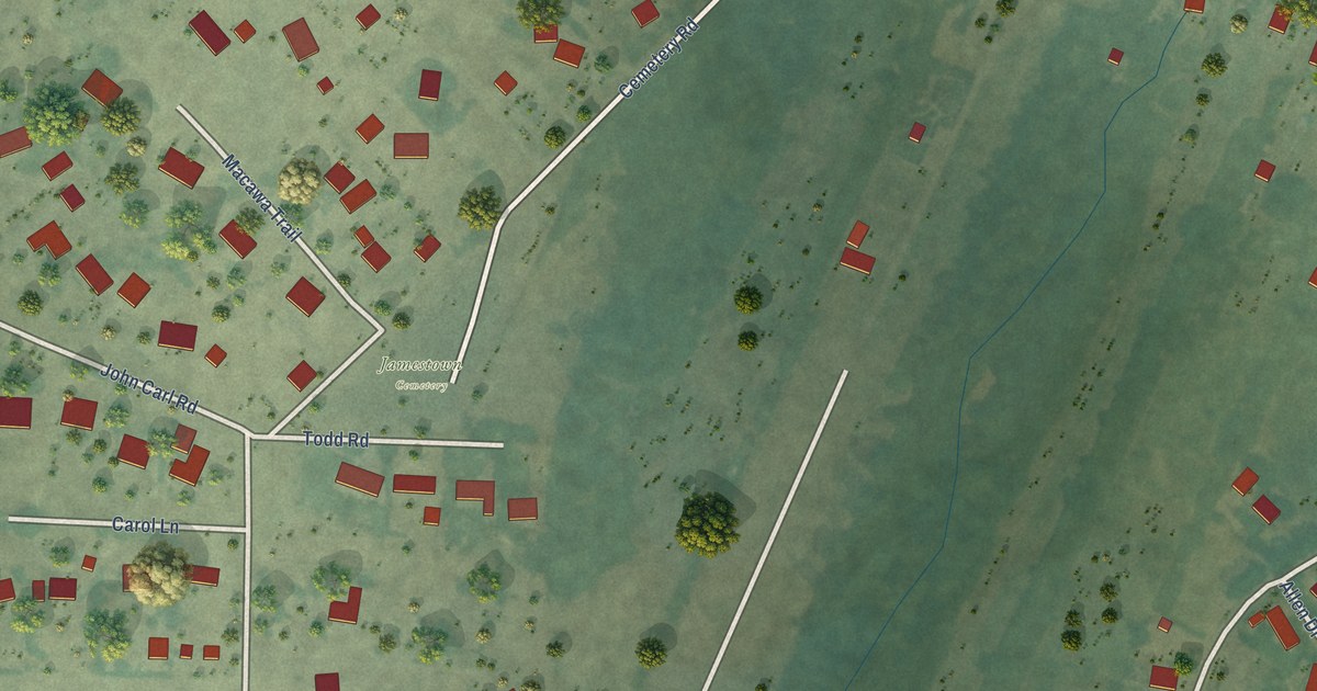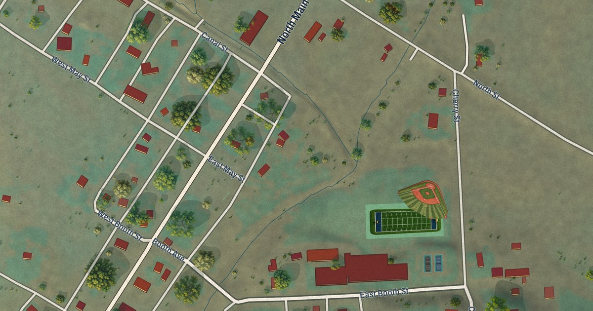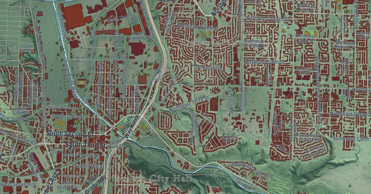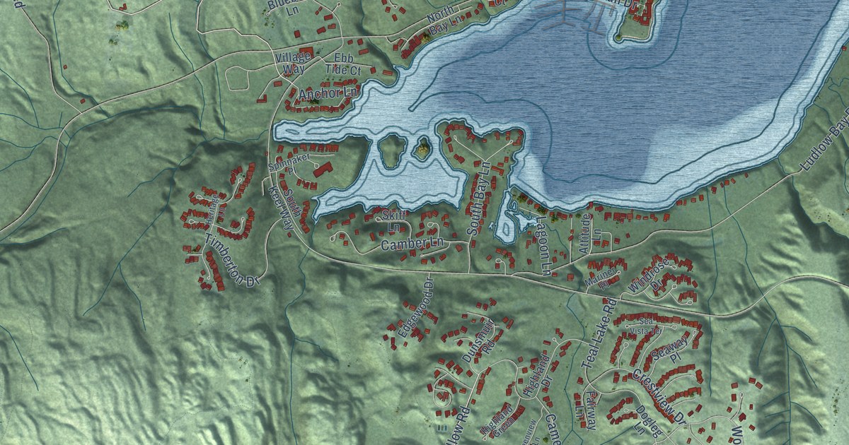
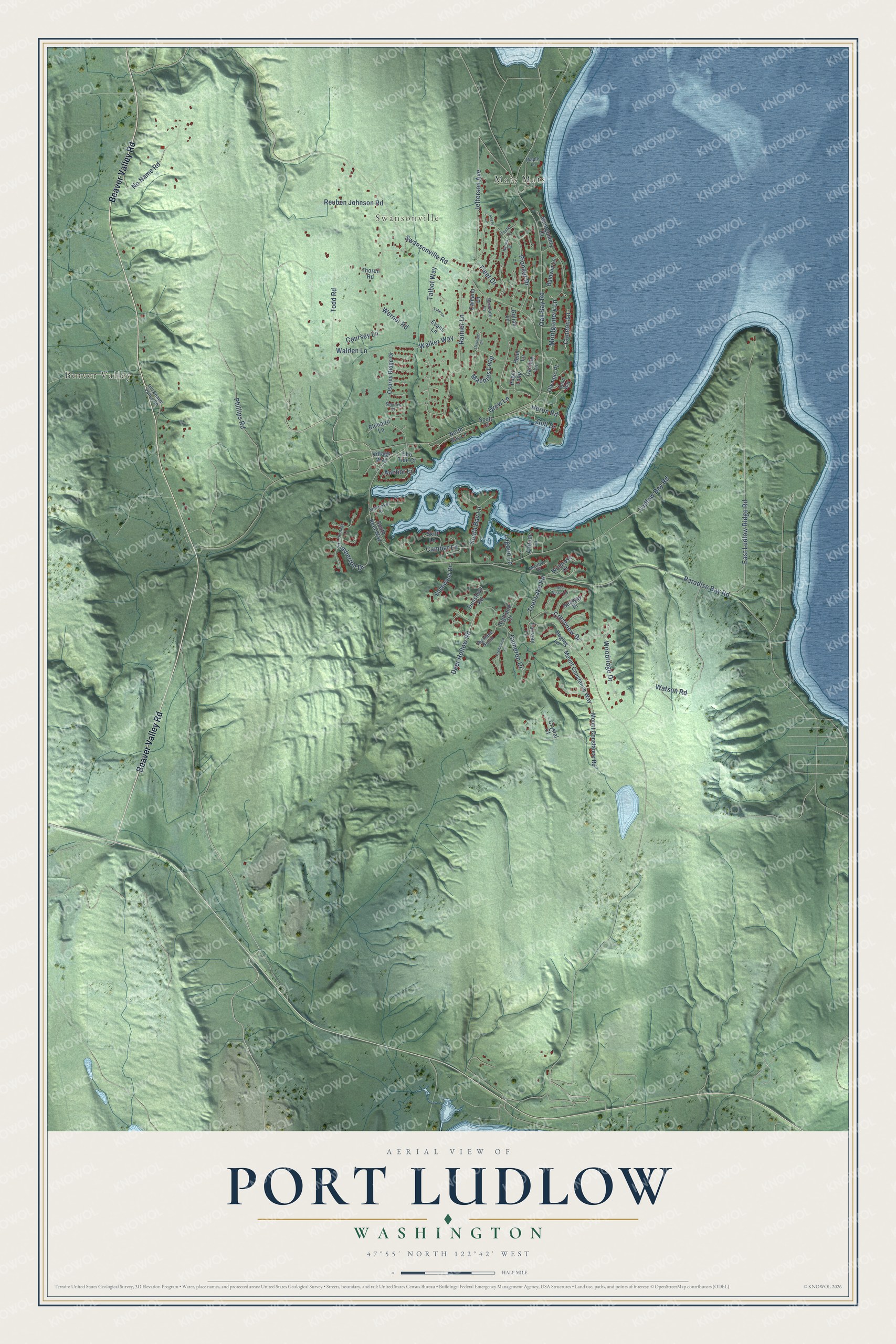
This beautifully detailed map of Port Ludlow, Washington was created in 2026 using aerial imagery combined with modern topographical, census, street and landmark data. It's a modern aerial view of Port Ludlow in Jefferson County, Washington, that combines modern data with a vintage aesthetic. The roads feature printed names, and if you look closely you can find your exact house accurately shown in its correct location.
Explore an aerial view of Port Ludlow, Washington
On this map you'll find Beaver Valley, Swansonville, Beaver Valley Road, Deer Hollow Road, Teal Lake Road, Oak Bay Road, Swansonville Road, Paradise Bay Road, East Ludlow Ridge Road, Phillips Road, Rainier Lane, Watson Road, and more. Each red shape is a building, so zoom in on the preview and look for yours.
Port Ludlow has a story worth telling. The Wilkes Expedition named Port Ludlow in 1841 for Lieutenant Augustus C. Ludlow of the United States Navy, who was killed aboard the Chesapeake in her famous duel with the Shannon. Its Native names were Sna-nul-kwo in the Chimacum language and Dos-la-latl in the Twana, or Skokomish, language. That's from the Washington Historical Quarterly.
Port Ludlow is a community in Jefferson County. The Census Bureau counted 2,959 people here in 2020.
Take a closer look at the Port Ludlow map
Names on this map
These names are printed on this map.
Places: Beaver Valley, Swansonville and Mats Mats.
Streets and roads: Beaver Valley Road, Deer Hollow Road, Teal Lake Road, Oak Bay Road, Swansonville Road, Paradise Bay Road, East Ludlow Ridge Road, Phillips Road, Rainier Lane, Watson Road, Ludlow Bay Road, Walker Way.
More street names, A to Z
Anchor Lane, Attitude Lane, Baldwin Lane, Bluebird Lane, Camano Lane, Camber Lane, Cameron Drive, Condon Lane, Coursey Lane, Crestview Drive, Crystal Court, Dogleg Lane, Drew Lane, Dunsmuir Road, Ebb Tide Court, Edgewood Drive, Evans Lane, Fairway Lane, Fleet Drive, Foster Lane, Gamble Lane, Goliah Lane, Greenview Lane, Gull Drive, Harms Lane, Helm Lane, Heritage Lane, Heron Road, Highland Drive, Highland Green, Hood Way, Jefferson Avenue, Keefe Lane, Lagoon Lane, Machias Loop, Maple Lane, Mariner Place, Montgomery Court, Montgomery Lane, Mount Constance Road, Mount Constance Way, No Name Road, North Bay Lane, Old Beaver Valley Road, Olympic Lane, Olympic Place, Osprey Ridge Drive, Pioneer Drive, Puget Loop, Resolute Lane, Reuben Johnson Road, Scott Court, Sea Vista Terrace, Seaway Place, Skiff Lane, South Bay Lane, South Keel Way, Sparrow Court, Spinnaker Place, Talbot Way, Thoren Road, Timberton Drive, Todd Road, Tyee Lane, Village Way, Walden Lane, Werner Road, Windrose Drive, Woodridge Drive.
See it on a wall
The Port Ludlow map as a framed print. Swipe for more.


Created by KNOWOL in 2026. The buildings are small red shapes, the roads carry their printed names, and shaded relief shows the shape of the land. The title panel reads "AERIAL VIEW OF PORT LUDLOW, WASHINGTON" with 47°55' NORTH 122°42' WEST.
It looks right in a kitchen, an office or a den, and it's a gift for anyone who grew up in Port Ludlow or moved away. Open the preview and find your street. See sizes and frames for the Port Ludlow map.