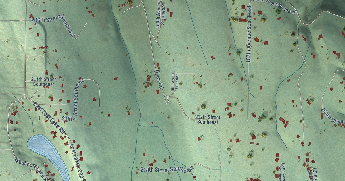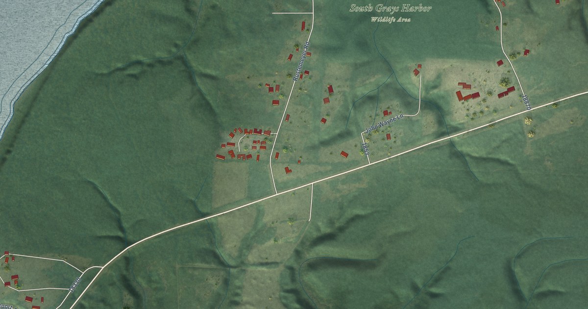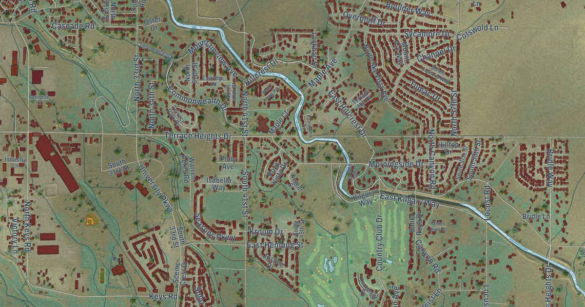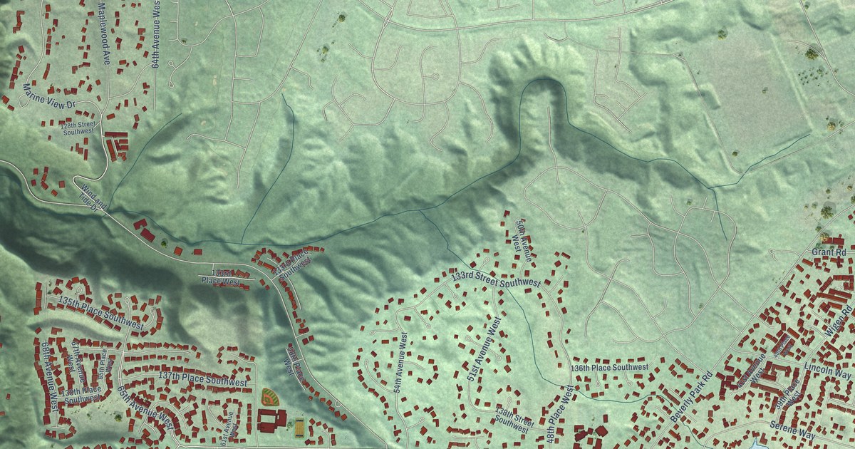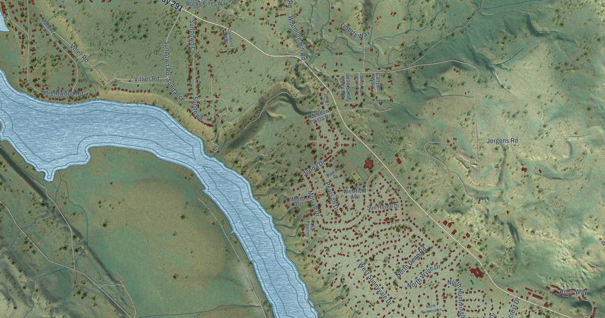
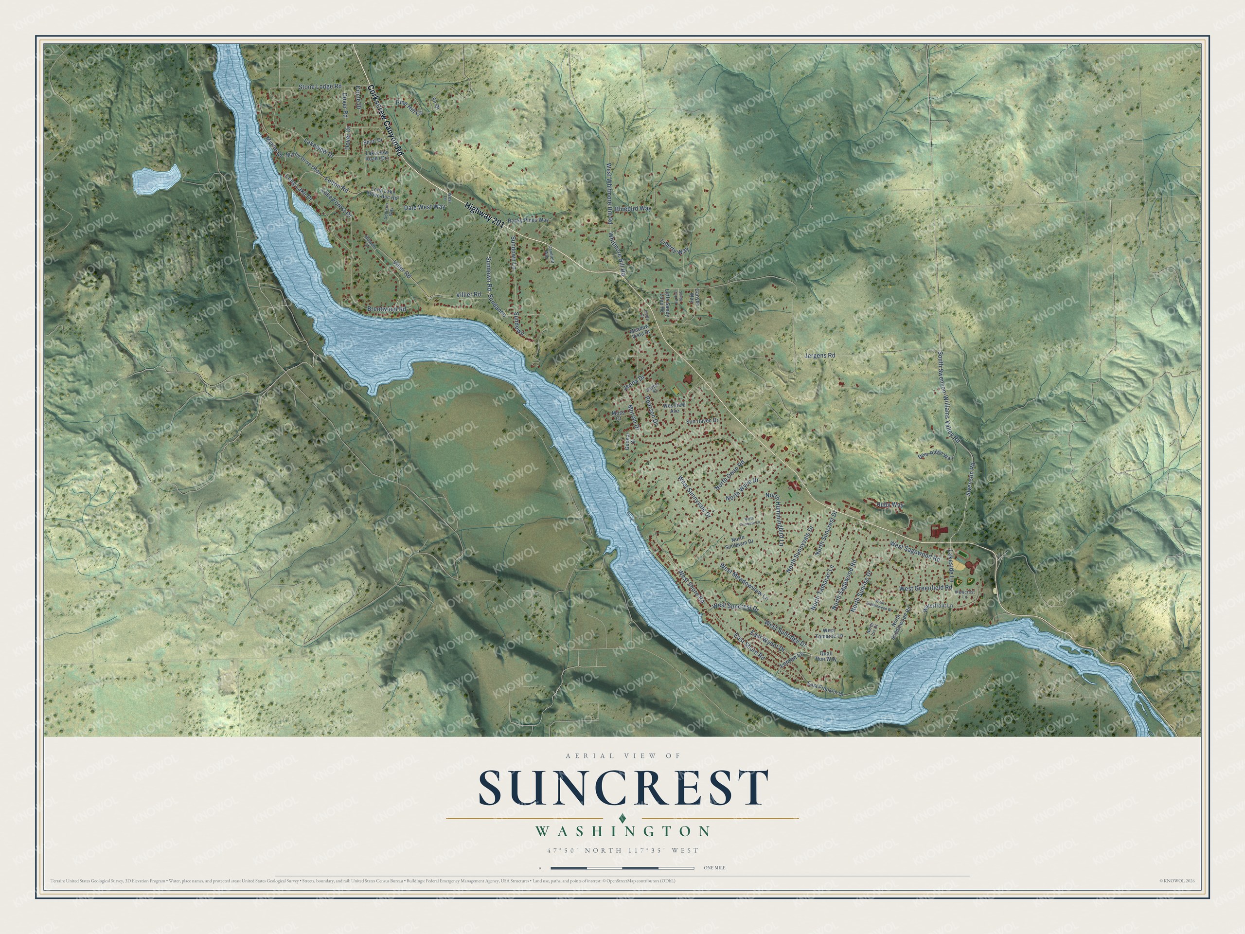
This beautifully detailed map of Suncrest, Washington was created in 2026 using aerial imagery combined with modern topographical, census, street and landmark data. It's a modern aerial view of Suncrest in Stevens County, Washington, that combines modern data with a vintage aesthetic. The roads feature printed names, and if you look closely you can find your exact house accurately shown in its correct location.
Explore an aerial view of Suncrest, Washington
On this map you'll find Highway 291, Corkscrew Canyon Road, Viller Road, Villier Road, Sundown Road, Sundance, North Sunrise Drive, South Swenson-Williams Valley Road, Swenson Road, Sundown Lane, Dover Drive, Lemon Lane, and more. Each red shape is a building, so zoom in on the preview and look for yours.
Suncrest is a community in Stevens County. The Census Bureau counted 5,413 people here in 2020. Suncrest sits about 10 miles northwest of Fairwood, 10 miles northwest of Country Homes and 11 miles northwest of Town and Country. The map prints the town name in its title panel, with the coordinates below it.
Take a closer look at the Suncrest map
Names on this map
These names are printed on this map.
Streets and roads: Highway 291, Corkscrew Canyon Road, Viller Road, Villier Road, Sundown Road, Sundance, North Sunrise Drive, South Swenson-Williams Valley Road, Swenson Road, Sundown Lane, Dover Drive, Lemon Lane.
More street names, A to Z
Addison Way, Bluebird Way, Brentwood Road, Candlelit Way, Canyon Way, Circle Drive, Dale West Way, Dayton Court, Deer Ridge Way, Dover Road, East Franklin Drive, East Shore Road, East Wynot Drive, Felton Road, Fir Drive, Gunnar Court, Jenna Court, Jenna Drive, Jergens Road, Lake Forest Drive, Lakeside Lane, Lakeview Drive, Liberty Way, Little Sandy Loop Road, Long Lake Drive, Long Lake Drive Acc Road, Malachi Court, Meadow Vista Drive, Moriah Drive, Moss Court, Myrtle Drive, North Dean Road, North Hummingbird Lane, North Iris Court, North Primrose Lane, North Saddlewood Road, North Sagewood Road, North Sunbeam Drive, North Suncrest Drive, North Sunnyvale Drive, North Tamarac Lane, North Wylie Drive, Pearson Drive, Pine Hill Court, Quail Run Way, Rocky Pines Way, Ruby Way, Sandy Loop Road, Short Drive, Stone Lodge Road, Sundown, Sun Haven Drive, Viewcrest Lane, Waterfront Lane, Westfield Avenue, West Greenfield Road, West Lane, West Meadowview Lane, West Sagewood Road, West Shore Road, West Suncrest Drive, West Sunnyvale Drive, West Sunridge Drive, West Tamarac Lane, West Tumbleweed Drive, West Whitmore Hill Road, Whitmore Hill Road.
See it on a wall
The Suncrest map as a framed print. Swipe for more.


Created by KNOWOL in 2026. The buildings are small red shapes, the roads carry their printed names, and shaded relief shows the shape of the land. The title panel reads "AERIAL VIEW OF SUNCREST, WASHINGTON" with 47°50' NORTH 117°35' WEST.
Hang it in the hallway, the office or the cabin, or give it to someone who left Suncrest and still calls it home. Open the preview and look for a street you know. See sizes and frames for the Suncrest map.