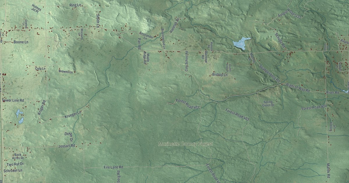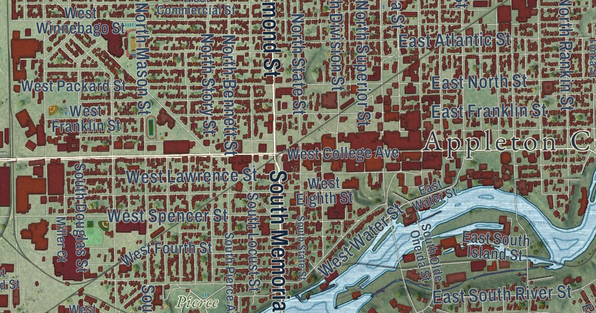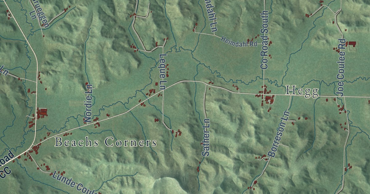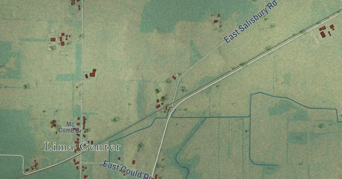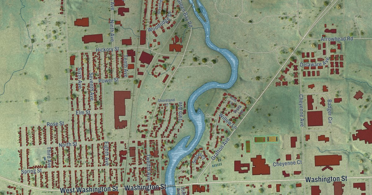
This beautifully detailed map of Grafton, Wisconsin was created in 2026 using aerial imagery combined with modern topographical, census, street and landmark data. It’s a one-of-a-kind view of Grafton that combines accurate data with a vintage aesthetic. The map shows every building in its true location, many of the roads carry their names, and the shaded topographic relief shows the shape of the land.
Explore an aerial view of Grafton, Wisconsin
On the map you’ll find Ulao and Lime Kiln Park, along with Ulao Road, Washington Street, West Washington Street, Grafton Avenue, Pine Street, Twelfth Avenue, 16th Avenue, North Pine Street, Valley Drive, Cedar Creek Road, and more. If you look closely you can even find your house accurately drawn in its correct location. Zoom in on the preview to look for yours.
Did you know this piece of Grafton, Wisconsin history?
From the History of Washington and Ozaukee Counties: "The village of Grafton is one of the oldest in the county. Buildings were erected and a town plat laid out as early as 1843."
Take a closer look at the Grafton map
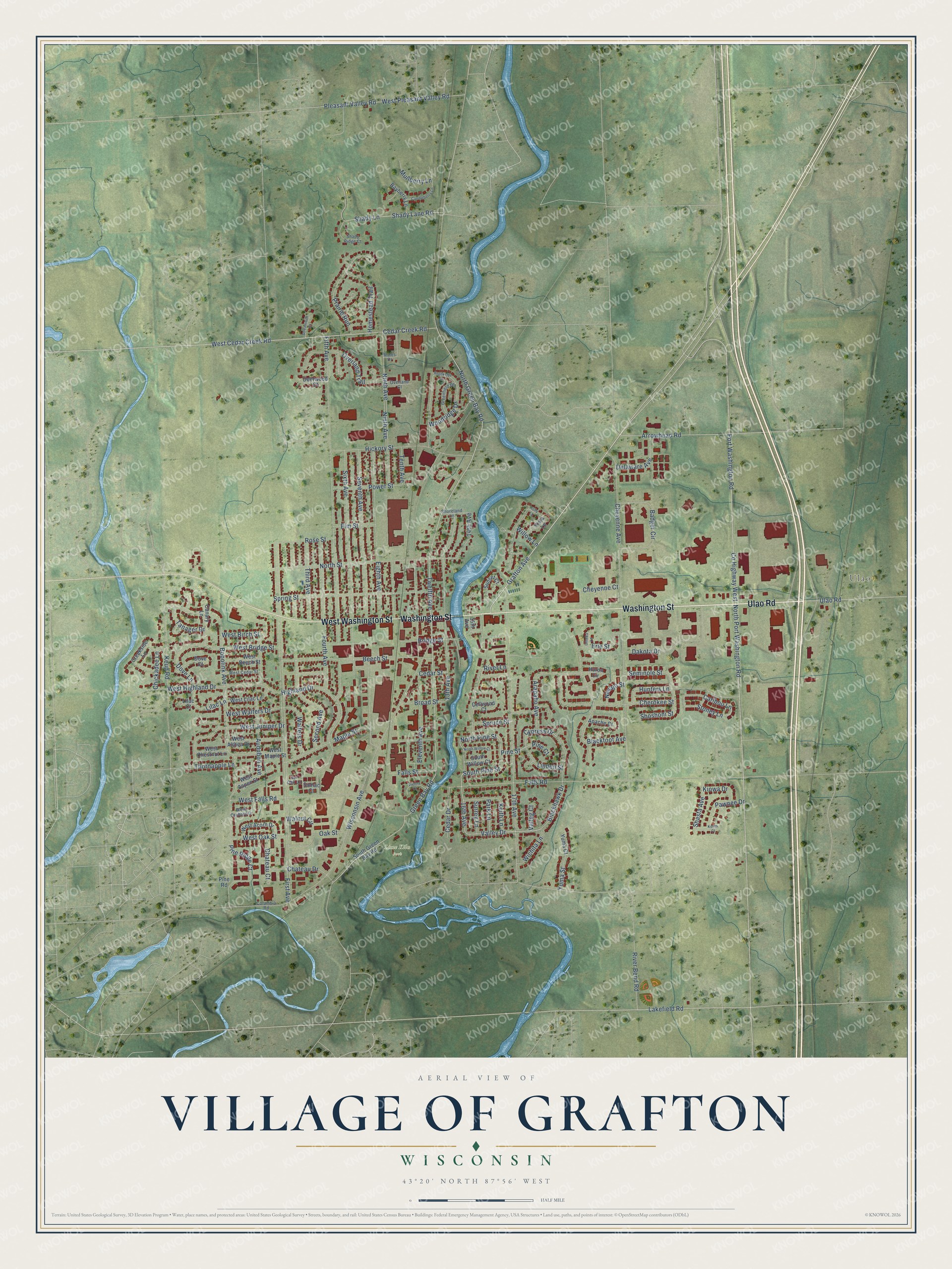
Street and place names on the Grafton, Wisconsin map
These names are printed on the map of Grafton, Wisconsin.
Places: Ulao and Lime Kiln Park.
Streets and roads: Ulao Road, Washington Street, West Washington Street, Grafton Avenue, Pine Street, Twelfth Avenue, 16th Avenue, North Pine Street, Valley Drive, Cedar Creek Road, North Green Bay Road, Arrowhead Road.
More street names, A to Z
13th Avenue, 14th Avenue, 15th Avenue, 17th Avenue, Apache Court, Arapaho Avenue, Audubon Avenue, Badger Circle, Bayberry Lane, Beech Street, Blackfoot Avenue, Blackhawk Drive, Bobolink Avenue, Bridge Street, Broad Street, Brookside Drive, Bur Oak Lane, Canary Lane, Candleberry Lane, Caribou Lane, Cedar Drive, Cedar Street, Chateau Court, Chateau Drive, Cherokee Street, Cheyenne Avenue, Cheyenne Court, Chickadee Lane, Columbia Road, County Highway West, Creekside Lane, Cypress Drive, Dakota Drive, Deerwood Court, Delaware Avenue, Dellwood Court, Dove Court, Dove Lane, Eighth Avenue, Eleventh Avenue, Elm Street, Erie Street, Falls Road, Falls Street, Fifth Avenue, First Avenue, Fourth Avenue, Green Bay Road, Greenfield Drive, Hickory Street, Highland Drive, Holly Lane, Homestead Trail, Hunters Lane, Huron Circle, Keith Lane, Keres Court, Keup Road, Kiowa Drive, Lakefield Road, Lilac Court, Lilac Lane, Linden Street, Maple Street, Moles Drive, Mullberry Lane, Navajo Street, Ninth Avenue, North Port Washington Road, North Street, North Willow Court, Oak Street, Ottawa Lane, Overland Court, Overland Trail, Park Lane, Pawnee Drive, Pine Court, Pine Ridge Court, Pine Road, Pleasant Valley Road, Port Washington Road, Power Street, Prairie Run, River Bend Road, River Lane, Rose Street, Second Avenue, Seminole Street, Seventh Avenue, Shady Lane, Shady Lane Road, Shady Ridge Court, Shasta Avenue, Shoreland Lane, Shoshoni Street, Sixth Avenue, South Green Bay Road, South Pine Street, South Willow Court, Spring Street, Spruce Street, Stoney Lane, Streamside Court, Sumac Court, Sunset Court, Surrey Lane, Tanager Drive, Tenth Avenue, Third Avenue, Thornapple Lane, Valleg Court, Vienna Court, Vista Lane, Walnut Circle, Walters Drive, West Acorn Drive, West Althea Drive, West Aspen Street, West Beech Street, West Birch Street, West Bridge Street, West Cedar Creek Road, West Cedar Street, West Chestnut Lane, West Falls Road, West Highland Drive, West Juniper Drive, West Lilac Lane, West Maple Street, West Oak Street, West Orchard Drive, West Pleasant Valley Road, West Walters Drive, Wichita Lane, Willow Lane, Wisconsin Avenue, Woodridge Drive, Yuma Court, Yuma Street.
See the Grafton, Wisconsin map on a wall
The Grafton map as an 18 x 24 inch print in a black frame.

This beautifully detailed map of Grafton makes an attractive addition to your office, library, or den, and it can even be used to teach children the geography and history of the area. It also makes a great gift for anyone who grew up in Grafton or moved away. When you’re done exploring, click here to get your copy of the Grafton map.