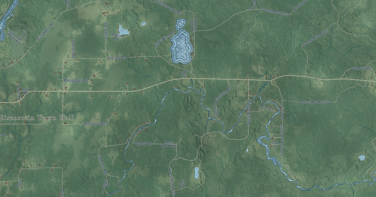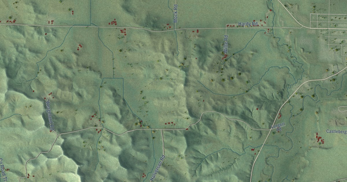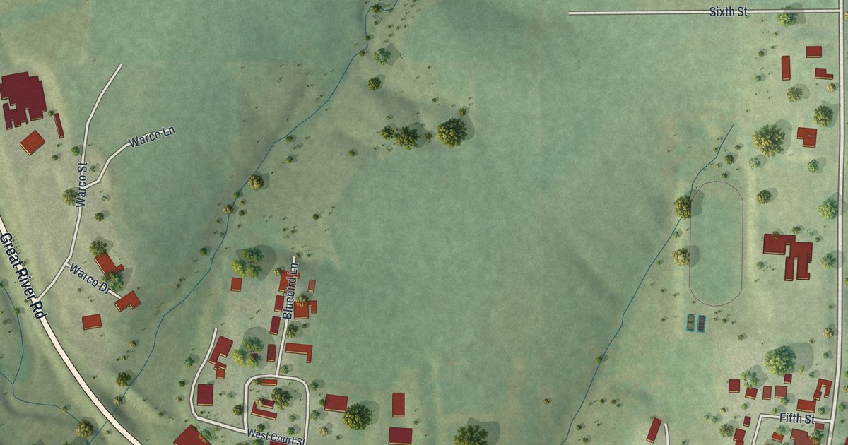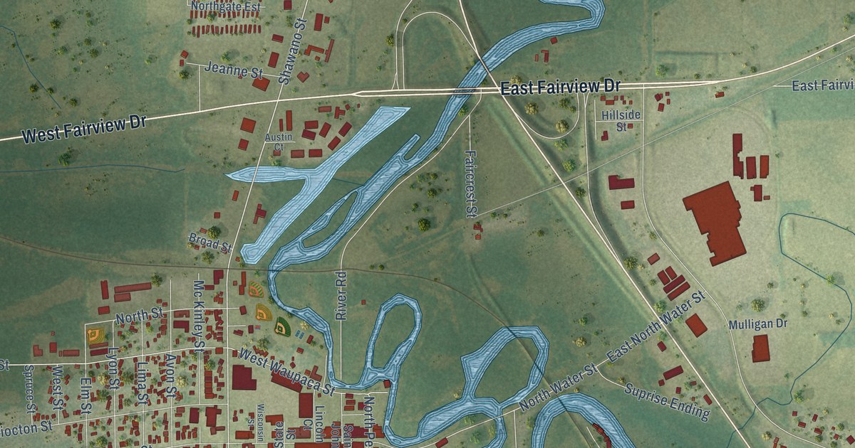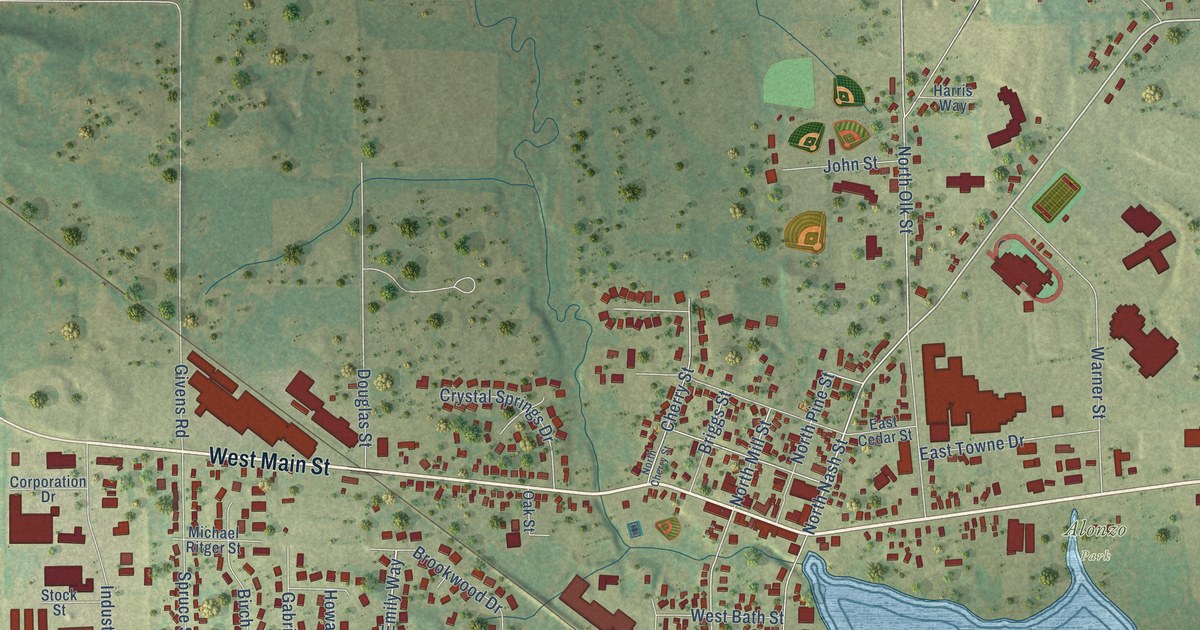
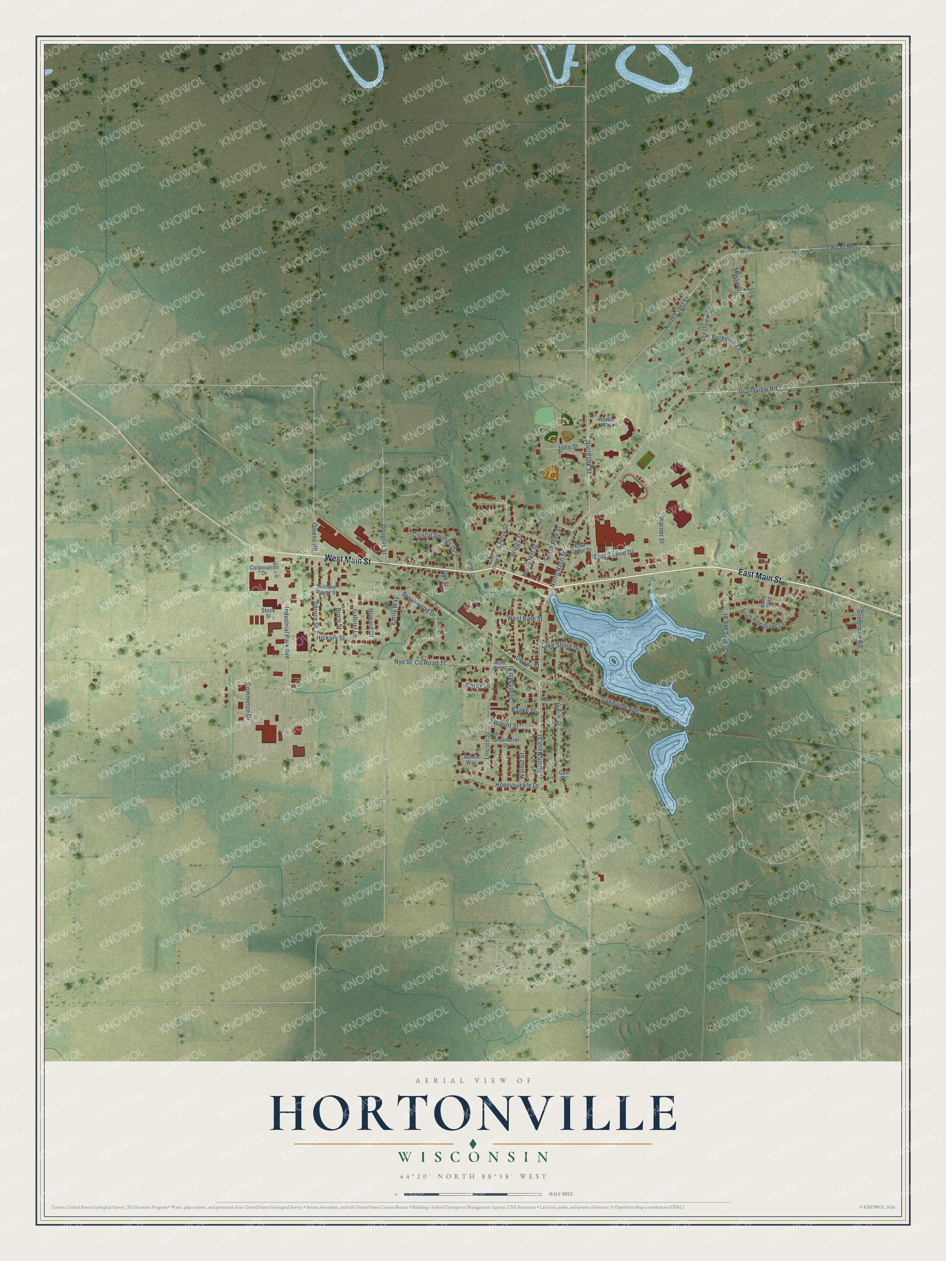
This beautifully detailed map of Hortonville, Wisconsin was created in 2026 using aerial imagery combined with modern topographical, census, street and landmark data. It's a modern aerial view of Hortonville in Outagamie County, Wisconsin, that combines modern data with a vintage aesthetic. The roads feature printed names, and if you look closely you can find your exact house accurately shown in its correct location.
Explore an aerial view of Hortonville, Wisconsin
On this map you'll find Alonzo Park, East Main Street, West Main Street, North Nash Street, Emily Way, Howard Drive, Grandview Road, South Mill Street, North Mill Street, Co Road Tt, North Olk Street, Co Road Mm, and more. Each red shape is a building, so zoom in on the preview and look for yours.
Hortonville has a story worth telling. The Pioneers of Outagamie County puts it this way: "The Knapp brothers made shaved shingles in a shanty on the site of the present village of Hortonville during the winter of 1847-8, and March 25 Alonzo E. Horton purchased the land, the first sale made in the township, and began the first works for a saw mill which was completed and cut the first log Aug. 2, 1849."
Hortonville is a village in Outagamie County. The Census Bureau counted 3,028 people here in 2020.
Take a closer look at the Hortonville map
Names on this map
These names are printed on this map.
Places: Alonzo Park.
Streets and roads: East Main Street, West Main Street, North Nash Street, Emily Way, Howard Drive, Grandview Road, South Mill Street, North Mill Street, County Road Tt, North Olk Street, County Road Mm, Nye Street.
More street names, A to Z
Ashtin Way, Baake Street, Birch Street, Briggs Street, Brookwood Drive, Cherry Street, Commerce Drive, Cordy Lane, Corporation Drive, Crestview Drive, Crystal Springs Drive, Dewey Street, Douglas Street, East Cedar Street, East Towne Drive, Gabriel Lane, Gail Drive, Giese Street, Givens Road, Greenbrier Drive, Greendale Road, Harris Way, Hickory Street, Honeysuckle Drive, Industrial Park Avenue, Jacquot Street, John Street, Kelly Way, Lake Shore Drive, Lakeview Avenue, Lincoln Street, Michael Ritger Street, Mystic Drive, Mystic Lane, North Cherry Street, North Crest Street, North Pine Street, Oak Street, Parkview Lane, South Lake Street, South Nash Street, South Pine Grove Lane, Spruce Street, Stock Street, Walnut Street, Warner Street, Wayne Drive, West Bath Street, West Nye Street.
Created by KNOWOL in 2026. The buildings are small red shapes, the roads carry their printed names, and shaded relief shows the shape of the land. The title panel reads "AERIAL VIEW OF HORTONVILLE, WISCONSIN" with 44°20' NORTH 88°38' WEST.
It looks right in a kitchen, an office or a den, and it's a gift for anyone who grew up in Hortonville or moved away. Open the preview and find your street. See sizes and frames for the Hortonville map.