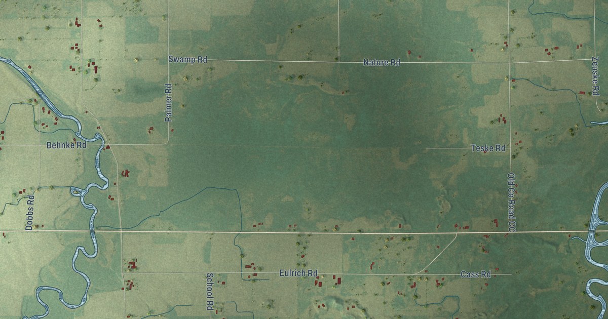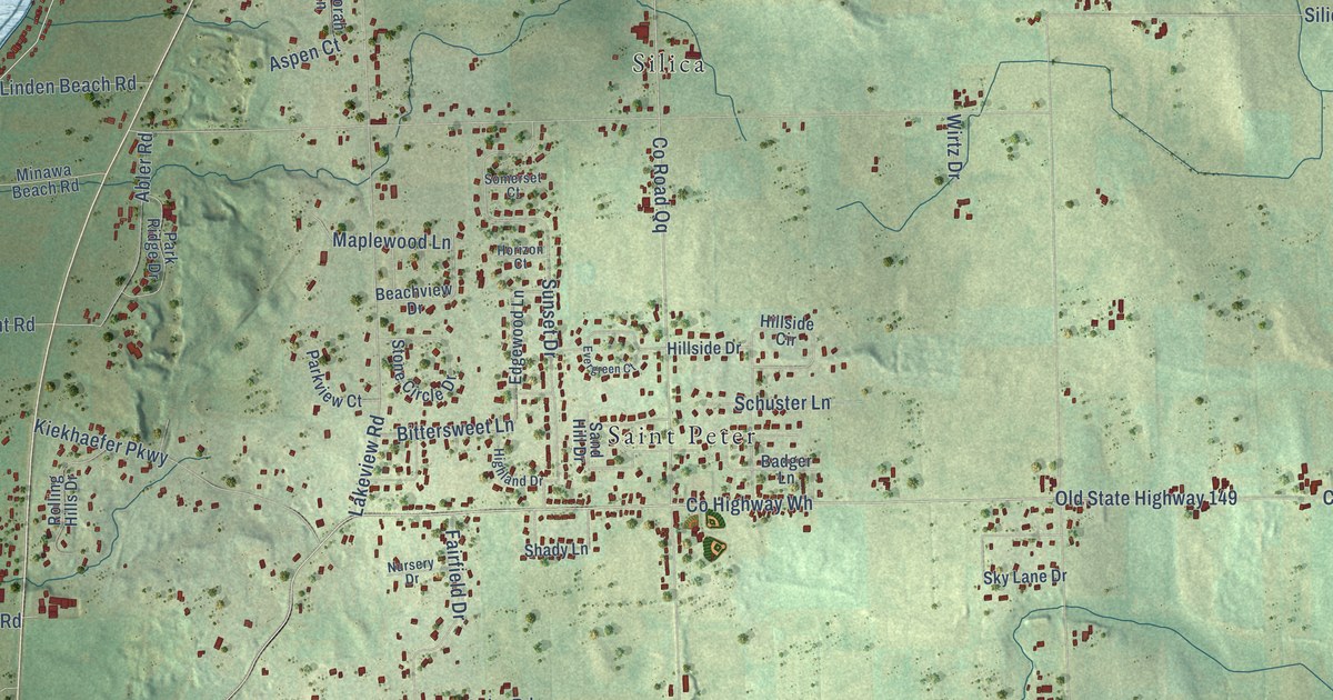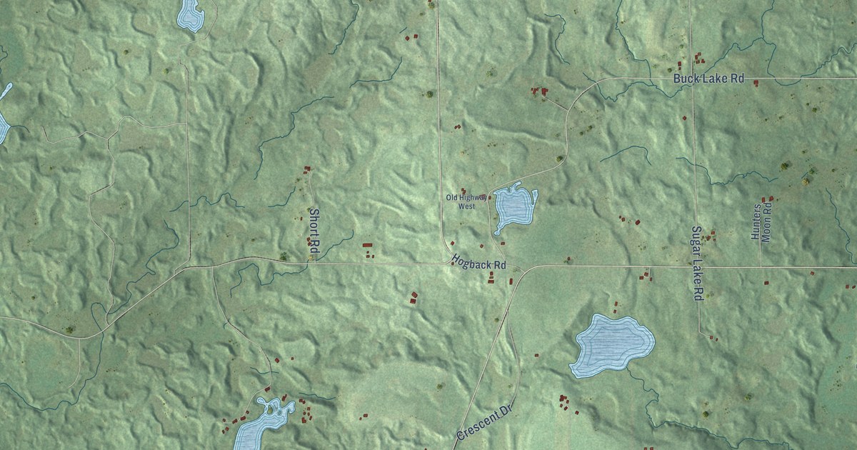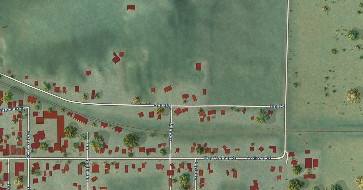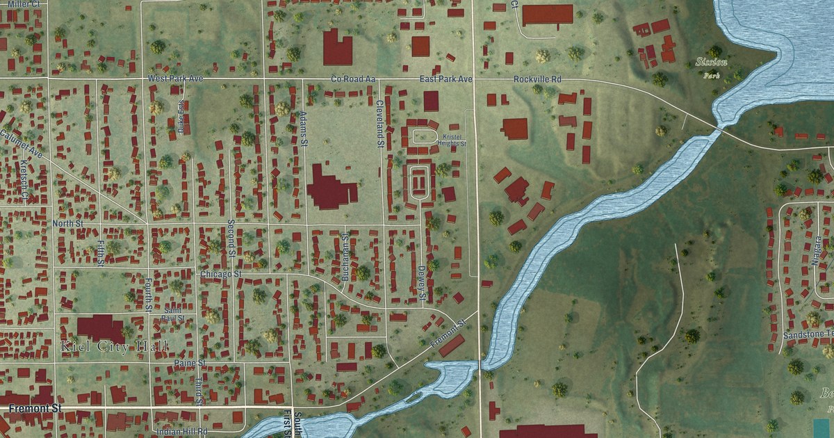
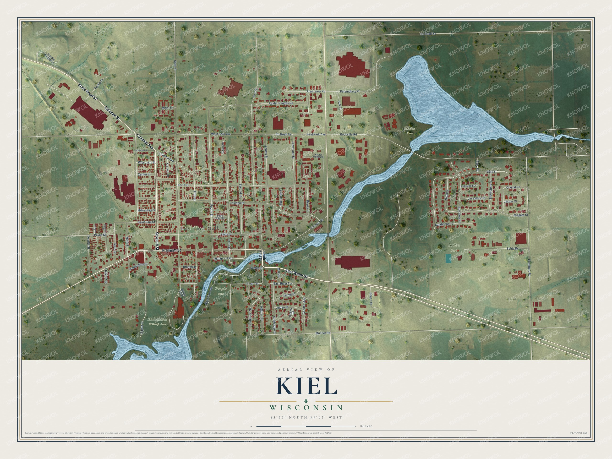
This beautifully detailed map of Kiel, Wisconsin was created in 2026 using aerial imagery combined with modern topographical, census, street and landmark data. It's a modern aerial view of Kiel in Manitowoc County, Wisconsin, that combines modern data with a vintage aesthetic. The roads feature printed names, and if you look closely you can find your exact house accurately shown in its correct location.
Explore an aerial view of Kiel, Wisconsin
On this map you'll find Kiel City Hall, Belitz Park, Kiel Marsh Wildlife Area, Sission Park, Hingiss Park, Seventh Street, Calumet Avenue, Fremont Street, Calumet Street, State Road 57, East Water Street, Eighth Street, and more. Each red shape is a building, so zoom in on the preview and look for yours.
Kiel has a story worth telling. The History of Northern Wisconsin puts it this way: "F. Mohr's cheese factory was erected in 1877, and is one of the leading manufactories of Kiel."
Kiel is a city in Manitowoc County. The Census Bureau counted 3,932 people here in 2020.
Take a closer look at the Kiel map
Names on this map
These names are printed on this map.
Places: Kiel City Hall, Belitz Park, Kiel Marsh Wildlife Area, Sission Park and Hingiss Park.
Streets and roads: Seventh Street, Calumet Avenue, Fremont Street, Calumet Street, State Road 57, East Water Street, Eighth Street, First Street, West Park Avenue, County Road Aa, Water Street, East Park Avenue.
More street names, A to Z
Adams Street, Bay View Road, Belitz Drive, Blackstone Road, Broadway, Buchanan Street, Cemetery Road, Center Street, Chicago Street, Clay Street, Cleveland Street, Concord Drive, County Road Xx, Crystal Road, Dewey Street, Duke Ests, East River Terrace, Ehnert Drive, Eleventh Street, Fieldstone Court, Fifth Street, Fourth Street, Frontier Heights Lane, Gebhart Avenue, Hickory Road, Hillcrest Drive, Indian Hill Road, Jasper Court, Kretsch Court, Kristel Heights Street, Lexington Drive, Limestone Street, Linden Street, Maple Court, Miller Court, Mill Road, Milwaukee Street, Mueller Road, Niagara, Niagara Street, Ninth Street, North Street, Paine Street, Payne Street, Persnickety Place, Raider Heights Road, River Park Road, River Terrace, River View Road, Rockville Road, Ruby Road, Ruh Court, Saint Paul Street, Sandstone Terrace, Second Street, Sheboygan Street, Sixth Street, South First Street, Southridge Drive, Teckla Place, Tenth Street, Third Street, Twelfth Street, Washington Street, Willow Bend, Wisconsin Street.
Created by KNOWOL in 2026. The buildings are small red shapes, the roads carry their printed names, and shaded relief shows the shape of the land. The title panel reads "AERIAL VIEW OF KIEL, WISCONSIN" with 43°55' NORTH 88°02' WEST.
It looks right in a kitchen, an office or a den, and it's a gift for anyone who grew up in Kiel or moved away. Open the preview and find your street. See sizes and frames for the Kiel map.