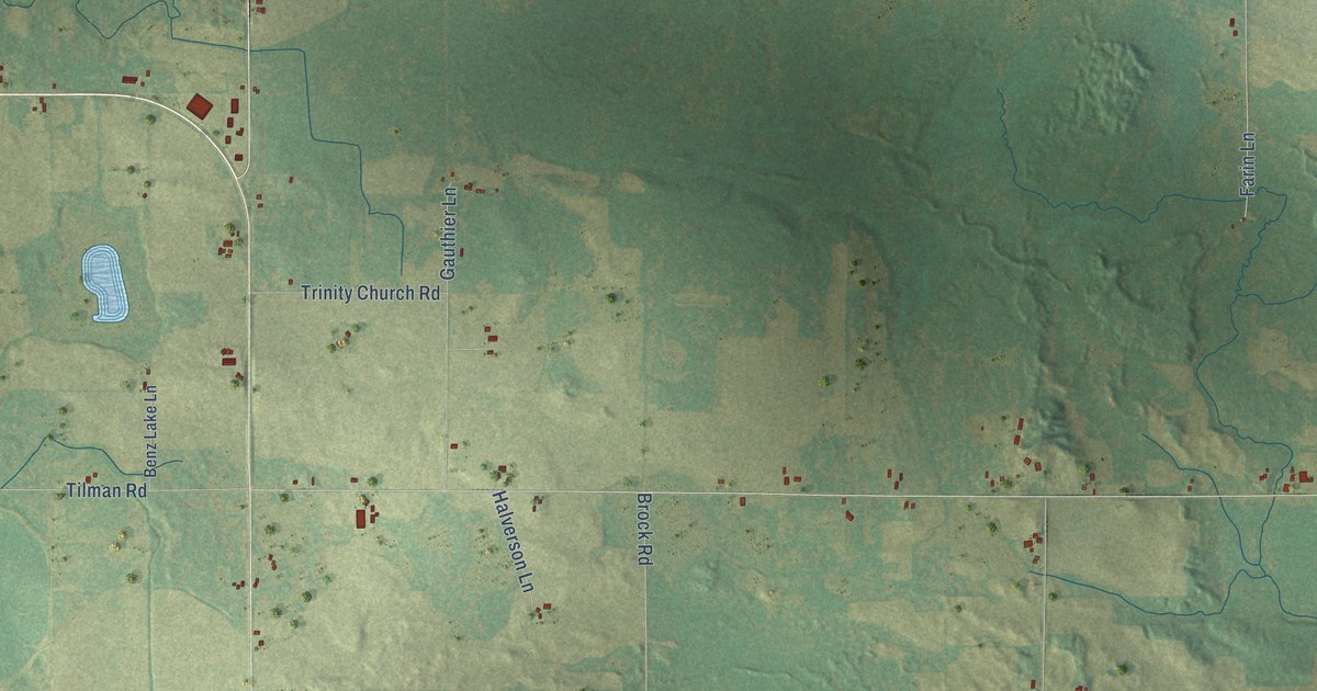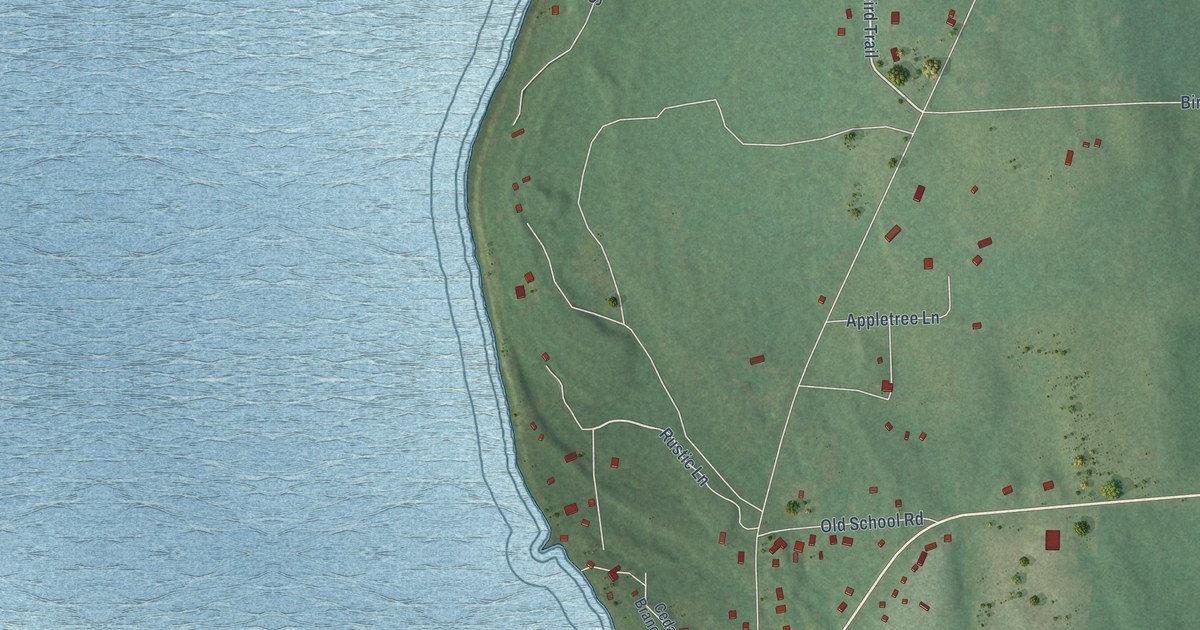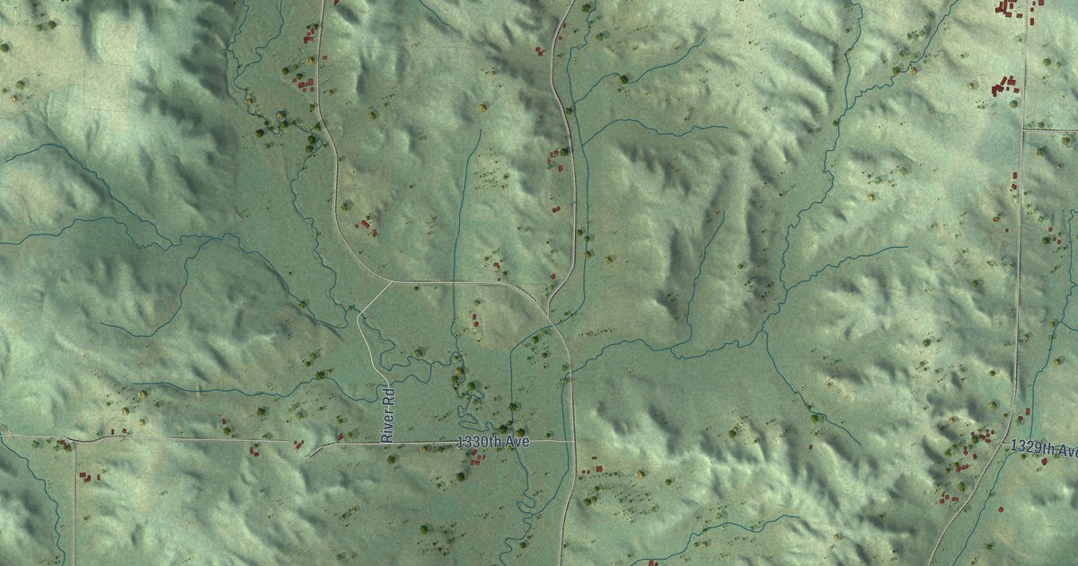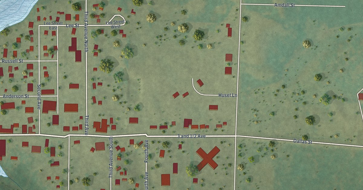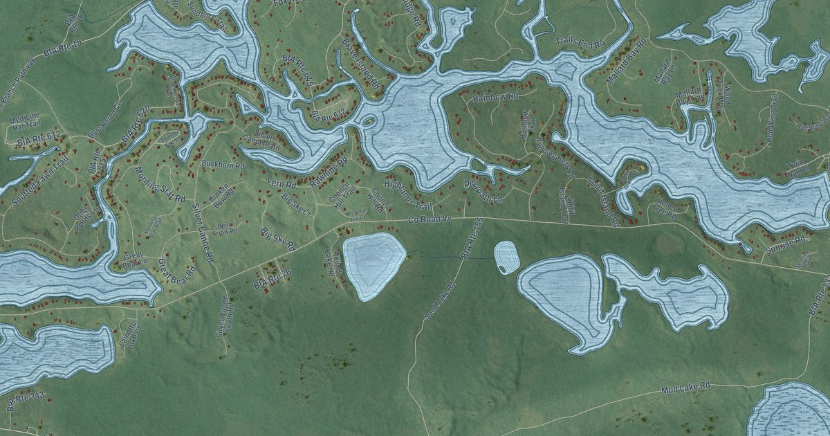
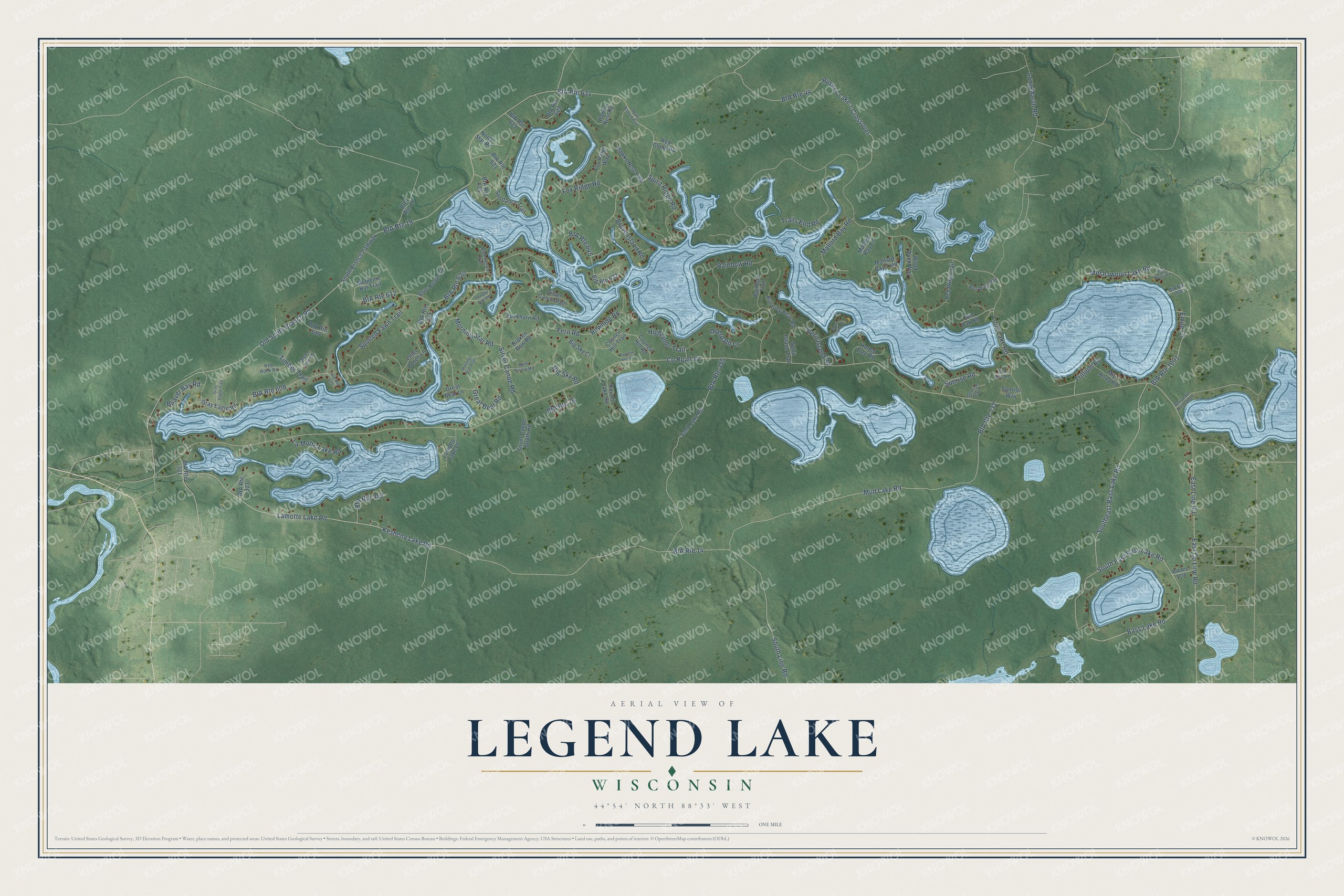
This beautifully detailed map of Legend Lake, Wisconsin was created in 2026 using aerial imagery combined with modern topographical, census, street and landmark data. It's a modern aerial view of Legend Lake in Menominee County, Wisconsin, that combines modern data with a vintage aesthetic. The roads feature printed names, and if you look closely you can find your exact house accurately shown in its correct location.
Explore an aerial view of Legend Lake, Wisconsin
On this map you'll find Moshawquit Lake Road, Lamotte Lake Road, Keshena Lake Road, Co Road Vv, Old South Branch Road, Bass Lake Road, South East Bass Lake Road, Long Lake Road, South Line Road, Long Marsh Road, Mud Lake Road, East Line Road, and more. Each red shape is a building, so zoom in on the preview and look for yours.
Legend Lake has a story worth telling. Legend Lake was created as a lake development out of nine spring-fed lakes east of Keshena, after termination left Menominee Enterprises facing a huge property tax. Most tribal members opposed selling land. Menominee people organized as DRUMS, won an injunction to stop the lot sales, and helped win the Menominee Restoration Act in 1973. That's from the Menominee Tribal Historic Preservation Office.
Legend Lake is a community in Menominee County. The Census Bureau counted 1,670 people here in 2020.
Take a closer look at the Legend Lake map
Names on this map
These names are printed on this map.
Streets and roads: Moshawquit Lake Road, Lamotte Lake Road, Keshena Lake Road, BIA Route 1001, County Road Vv, Old South Branch Road, Bass Lake Road, South East Bass Lake Road, Long Lake Road, BIA Route 19, BIA Route 14, South Line Road.
More street names, A to Z
Beaver Bay Road, Bent Arrow Road, Berry Lake North Shore, BIA Route 18, BIA Route 44, BIA Route 76, BIA Route 132, BIA Route 155, BIA Route 313, BIA Route 321, BIA Route 343, BIA Route 608, BIA Route 609, BIA Route 610, BIA Route 612, BIA Route 615, BIA Route 620, BIA Route 621, BIA Route 624, BIA Route 625, BIA Route 629, BIA Route 631, BIA Route 632, BIA Route 645, BIA Route 1000, BIA Route 1016, Big Sky Court, Big Sky Road, Blue Heron Circle, Blue Heron Trail, Brave Island Road, Broken Bow Road, Buckhorn Road, Council Hill Court, Council Hill Road, Council Hill Trail, Deerpath Lane, East County Line Road, East Line Road, Emile Court, Fern Road, Fox Ridge Road, Fox Ridge Way, Gray Eagle Road, Gray Eagle Trail, Great Bear Lane, Great Bear Road, Hawks Nest Path, Hawks Nest Road, Highlands Trail, High Water Road, Honey Tree Road, Lamotte Lake Drive, La Motte Lake Road, Long Marsh Road, Mallard Bay Lane, Mallard Bay Road, Mallard Bay Trail, Medicine Hat Trail, Mip Anaq Road, Morning Star Road, Morning Star Trail, Mud Lake Road, North Star Road, Otter Ponds Lane, Rainbow Road, Rainbow Trail, Rawhide Road, Red Cloud Road, Red Rock Road, Red Wing Trail, Red Wing Way, Round Lake Road, Running Bear Road, Rushes Lake 1 Crossover, Sand Lake Road, Silver Canoe Path, Silver Canoe Road, Silver Canoe South Road, South Branch Path, South Branch Pathway, Southeast Bass Lake Road, Spirit Island Court, Spirit Island Road, Spirit Island Trail, Spirit Ridge Road, Spotted Fawn Trail, Sundance Trail, Sun Rise Lane, Sunrise Road, Sunrise Trail, Sunrise Way, Thunder Bird Road, Timber Trail, Trails End Road, Trillium Road, Twin Oak Road, White Pine Road, Wood Duck Way.
See it on a wall
The Legend Lake map as a framed print. Swipe for more.


Created by KNOWOL in 2026. The buildings are small red shapes, the roads carry their printed names, and shaded relief shows the shape of the land. The title panel reads "AERIAL VIEW OF LEGEND LAKE, WISCONSIN" with 44°54' NORTH 88°33' WEST.
It looks right in a kitchen, an office or a den, and it's a gift for anyone who grew up in Legend Lake or moved away. Open the preview and find your street. See sizes and frames for the Legend Lake map.