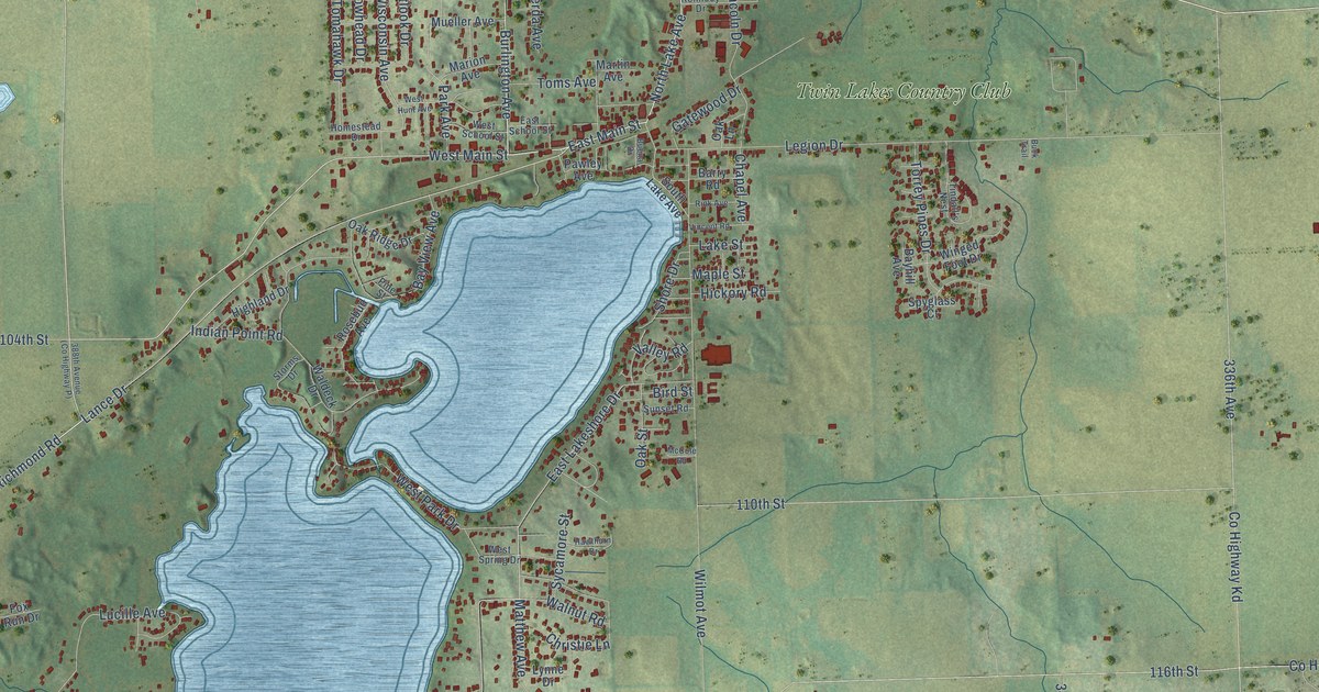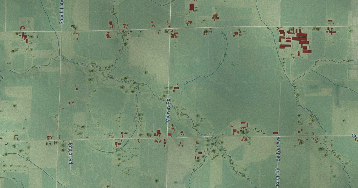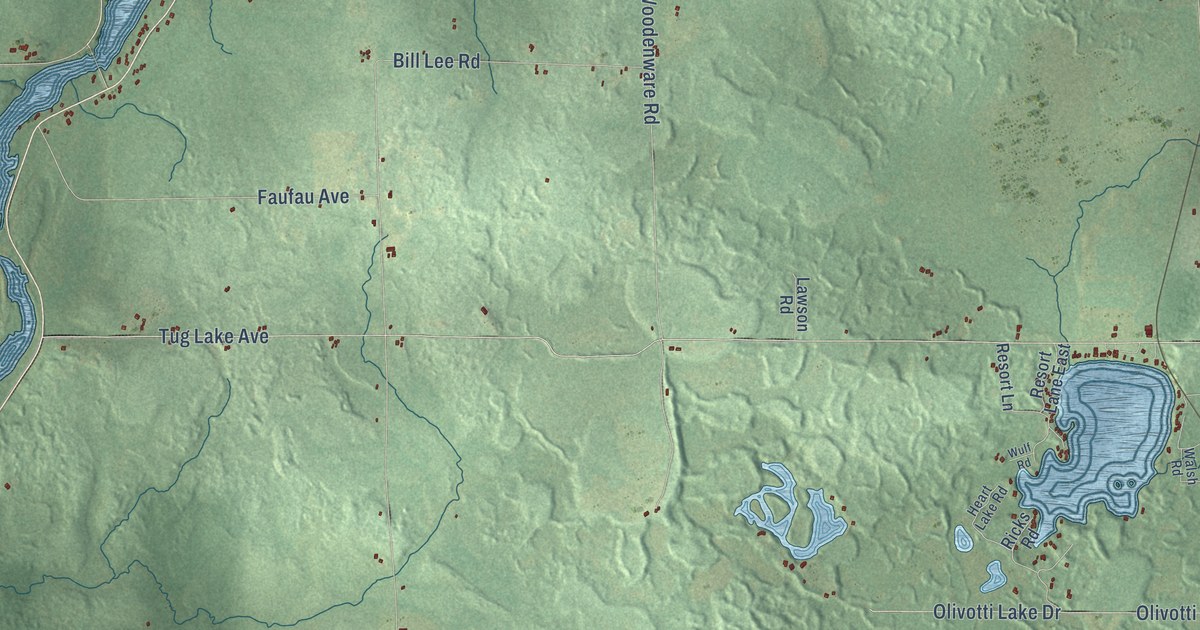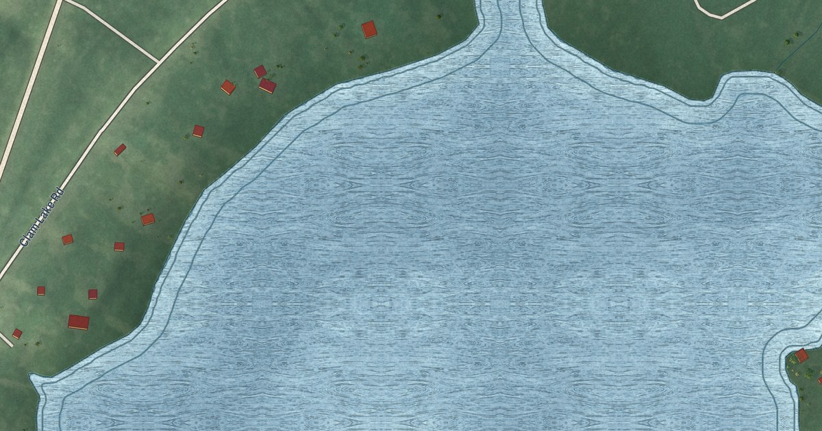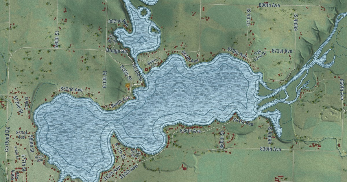
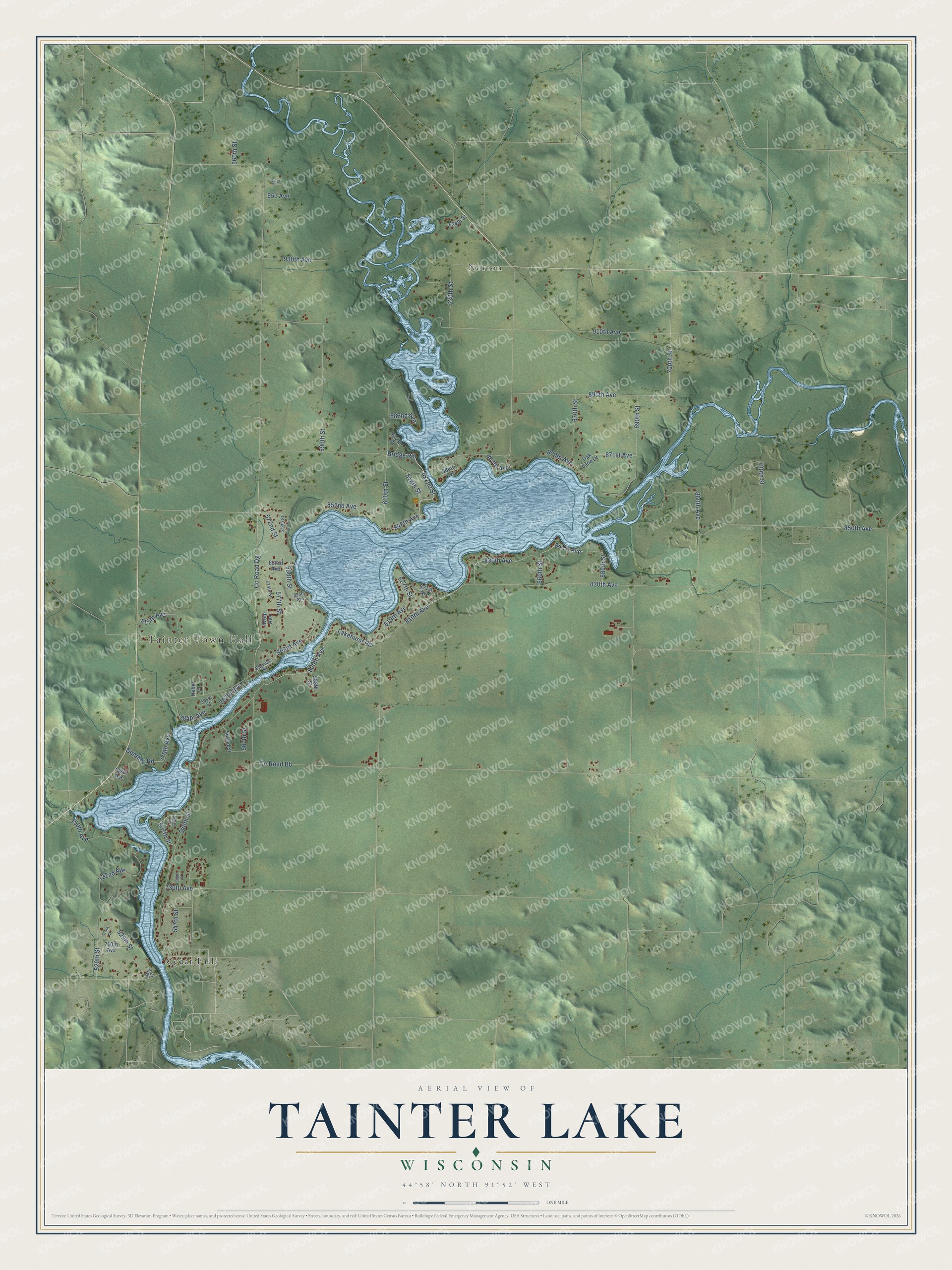
This beautifully detailed map of Tainter Lake, Wisconsin was created in 2026 using aerial imagery combined with modern topographical, census, street and landmark data. It's a modern aerial view of Tainter Lake in Dunn County, Wisconsin, that combines modern data with a vintage aesthetic. The roads feature printed names, and if you look closely you can find your exact house accurately shown in its correct location.
Explore an aerial view of Tainter Lake, Wisconsin
On this map you'll find Tainter Town Hall, Norton, Cedar Falls, 870th Avenue, 848th Avenue, Bridge Road, 622nd Street, 810th Avenue, 700th Street, 618th Street, Co Road Bb, 910th Avenue, and more. Each red shape is a building, so zoom in on the preview and look for yours.
Every town has a first chapter, and Tainter Lake is no exception. Tainter Lake began in 1910, when the new dam at Cedar Falls flooded 400 to 500 acres of the Moore Farm, where Knapp, Stout and Company kept its livestock and raised food for its workers. The lake was called Lake Colfax, Lake Menomonie and Moore Farm Lake before it became Tainter Lake in the late 1920s. The Town of Tainter, set up about 1877, was named for Captain Andrew Tainter of the Menomonie lumber family, a partner in Knapp, Stout and Company. That's from the Town of Tainter.
Tainter Lake is a community in Dunn County. The Census Bureau counted 2,550 people here in 2020.
Take a closer look at the Tainter Lake map
Names on this map
These names are printed on this map.
Places: Tainter Town Hall, Norton and Cedar Falls.
Streets and roads: 870th Avenue, 848th Avenue, Bridge Road, 622nd Street, 810th Avenue, 700th Street, 618th Street, County Road Bb, 910th Avenue, 850th Avenue, 830th Avenue, 540th Street.
More street names, A to Z
520th Street, 525th Street, 529th Street, 535th Street, 537th Street, 547th Street, 548th Street, 555th Street, 560th Street, 562nd Street, 567th Street, 572nd Street, 573 Street, 574th Street, 577th Street, 578th Street, 580th Street, 588th Street, 590th Street, 610th Street, 612th Street, 627th Street, 630th Street, 634th Street, 660th Street, 670th Street, 680th Street, 690th Street, 710th Avenue, 730th Avenue, 730th Street, 732nd Avenue, 750th Avenue, 768th Avenue, 770th Avenue, 784th Avenue, 797th Avenue, 800th Avenue, 803rd Avenue, 815th Avenue, 816th Avenue, 819th Avenue, 821st Avenue, 824th Avenue, 833rd Avenue, 836th Avenue, 841st Avenue, 852nd Avenue, 860th Avenue, 866th Avenue, 867th Avenue, 871st Avenue, 882nd Avenue, 890th Avenue, 930th Avenue, 951 Avenue, Bayview Road, County Road Dg, Gary Lane, Gunther Road, Heller Court, Lakehurst Road, Oak Lane Drive.
See it on a wall
The Tainter Lake map as a framed print. Swipe for more.


Created by KNOWOL in 2026. The buildings are small red shapes, the roads carry their printed names, and shaded relief shows the shape of the land. The title panel reads "AERIAL VIEW OF TAINTER LAKE, WISCONSIN" with 44°58' NORTH 91°52' WEST.
Hang it in the hallway, the office or the cabin, or give it to someone who left Tainter Lake and still calls it home. Open the preview and look for a street you know. See sizes and frames for the Tainter Lake map.