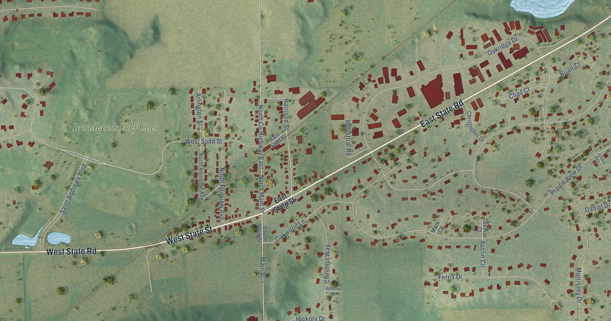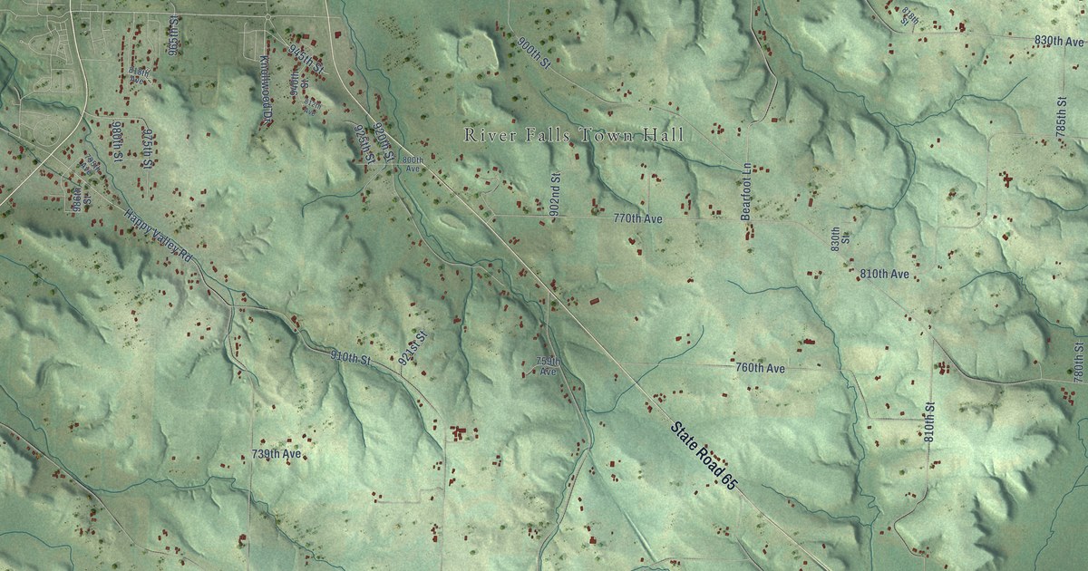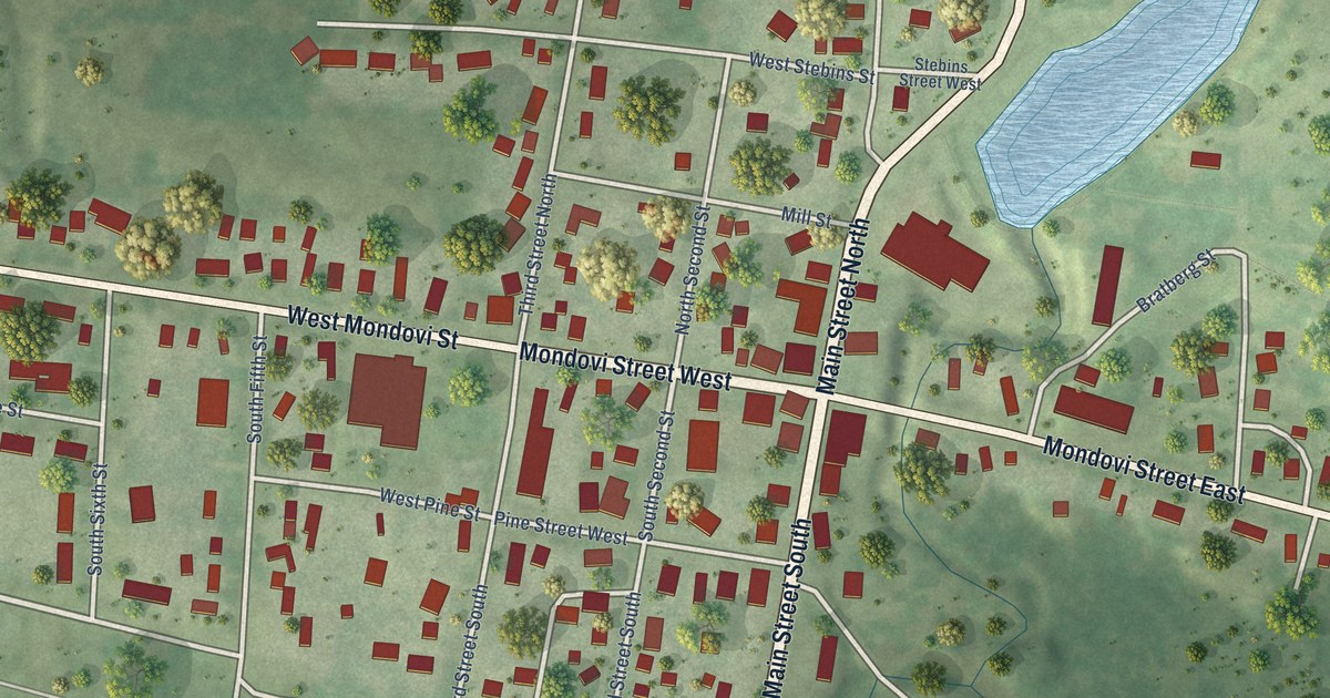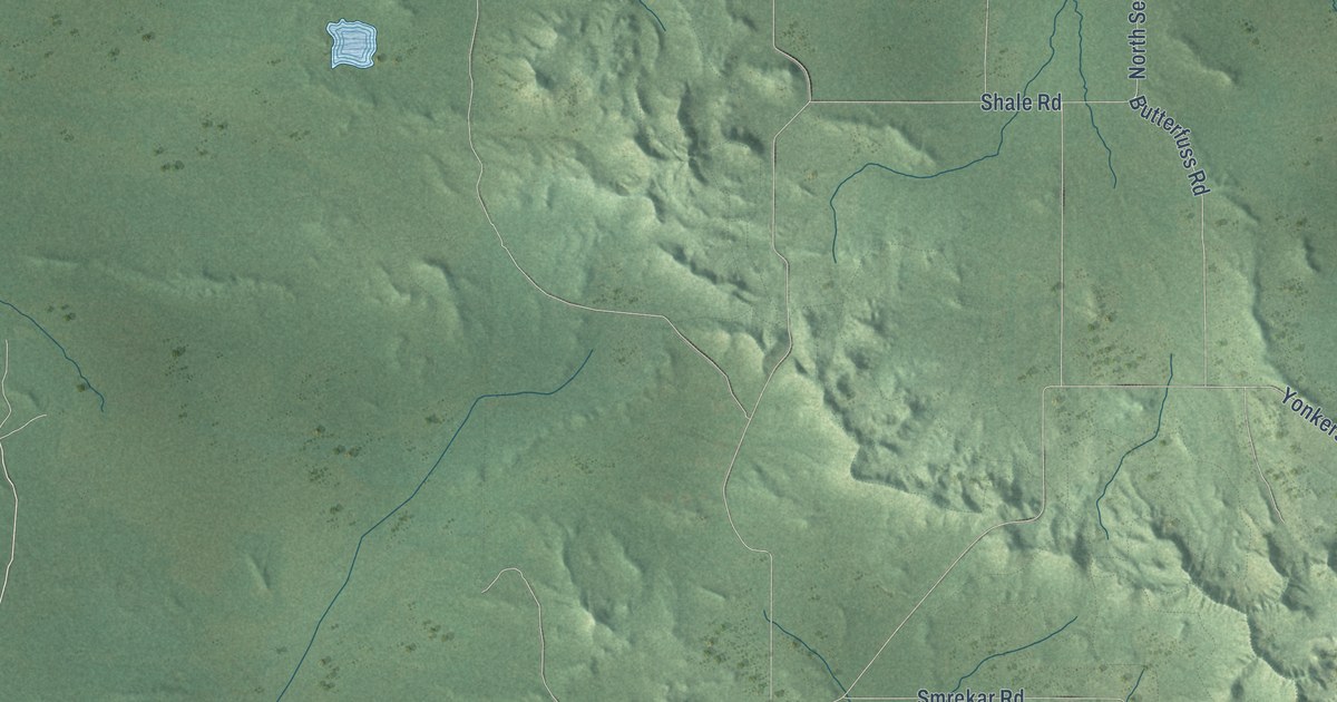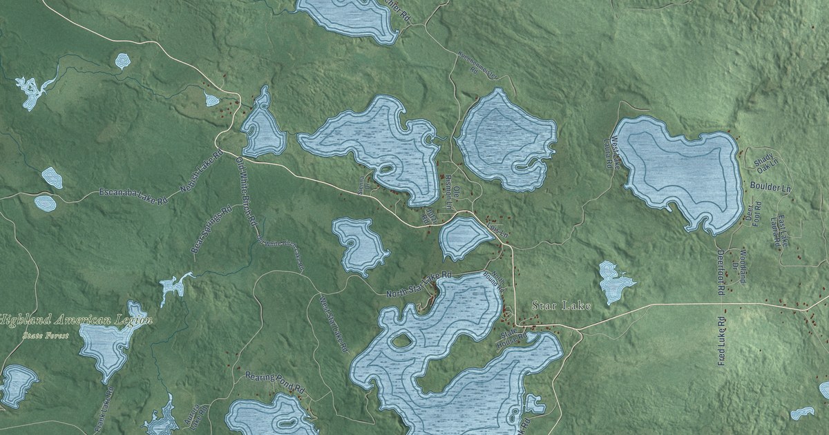
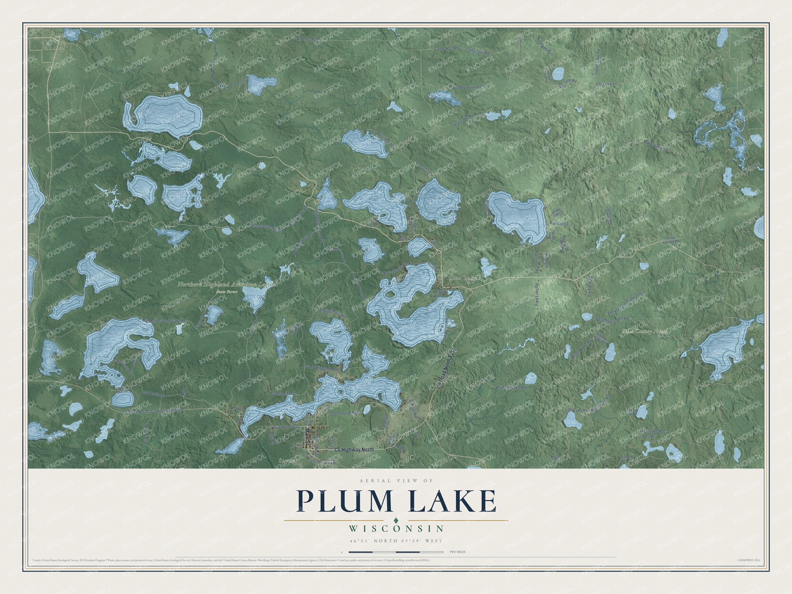
This beautifully detailed map of Plum Lake, Wisconsin was created in 2026 using aerial imagery combined with modern topographical, census, street and landmark data. It's a modern aerial view of Plum Lake in Vilas County, Wisconsin, that combines modern data with a vintage aesthetic. The roads feature printed names, and if you look closely you can find your exact house accurately shown in its correct location.
Explore an aerial view of Plum Lake, Wisconsin
On this map you'll find Sayner, Star Lake, Northern Highland American Legion State Forest, Vilas County Forest, Co Highway North, Main Street, Co Road North East, Indian Lake Road, Nineweb Road, Razorback Road, Old North Road, Rearing Pond Road, and more. Each red shape is a building, so zoom in on the preview and look for yours.
Plum Lake is a town in Vilas County. The Census Bureau counted 553 people here in 2020. The map prints the town name in its title panel, with the coordinates below it.
Take a closer look at the Plum Lake map
Names on this map
These names are printed on this map.
Places: Sayner, Star Lake, Northern Highland American Legion State Forest and Vilas County Forest.
Streets and roads: County Highway North, Main Street, County Road North East, Indian Lake Road, Nineweb Road, Razorback Road, Old North Road, Rearing Pond Road, Deerfoot Road, Escanaba Lake Road, Camp No 2 Road, Camp Two Road.
More street names, A to Z
Aspen Road, Aurora Lake Road, Baker Lake Road, Bear Bowl Road, Bear Springs Road, Big Muskellunge Lake Road, Birch Drive, Birch Spring Road, Boulder Lane, Burlingame Road, Camp 10 Road, Camp Highland Road, Clair Fire Lane, County Road North, County Road North West, Crystal Lake Road, Dad's Lake Road, Dads Lake Road, Decker Lake Game Trail, Deer Foot Road, De Witt Road, Dorothy Dunn Road, Eagle Nest Court, East Lake Laura Road, Fabian Drive, Frank Lake Road, Fred Luke Road, Fur Farm Road, Glenbrook Lane, Golf Course Road, Hanson Road, Heritage Lane, Hook Road, Idlewild, Jean Lake Road, Jutzi Road, Kuechenmeister Road, Kurtzweil Road, Lakewood Drive, Langley Lake Game Trail, Lois Lane, Longs Road, Nebish Lake Road, Nineweb Lake Road, Nine Web Road, Nixon Lake Road, North Bound Road, North Star Lake Road, Old White Birch Lake Road, Old White Birch Road, Ole Rismon Lane, Pickerel Point Lane, Plum Lake Drive, Plum Vitae Road, Rads Road, Sethness Road, Shady Oak Lane, Sienna Drive, Star Lake Road, Starrett Road, State House Road, Stewart Lake Road, Tam Lane, Three Springs Road, Tower Lake Road, Weschler Road, West Buckatabon Road, West Lake Laura Road, West Star Lake Road, Wharton Lake Road, Wilson Lake Road, Winding Creek Road, Woodland Drive.
Created by KNOWOL in 2026. The buildings are small red shapes, the roads carry their printed names, and shaded relief shows the shape of the land. The title panel reads "AERIAL VIEW OF PLUM LAKE, WISCONSIN" with 46°03' NORTH 89°29' WEST.
Hang it in the hallway, the office or the cabin, or give it to someone who left Plum Lake and still calls it home. Open the preview and look for a street you know. See sizes and frames for the Plum Lake map.