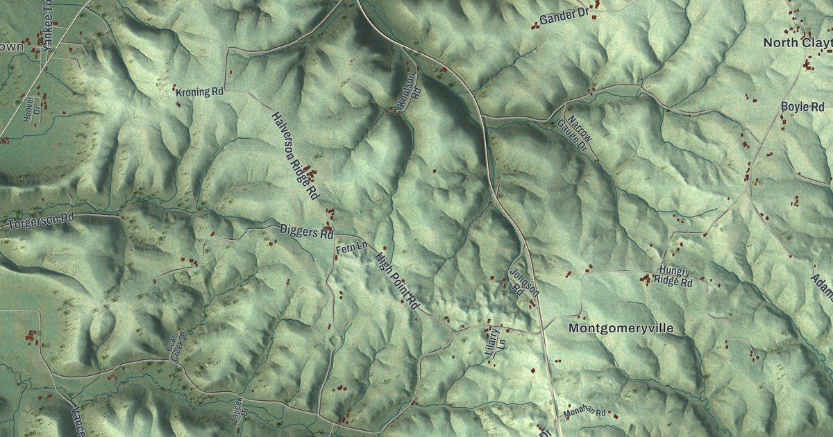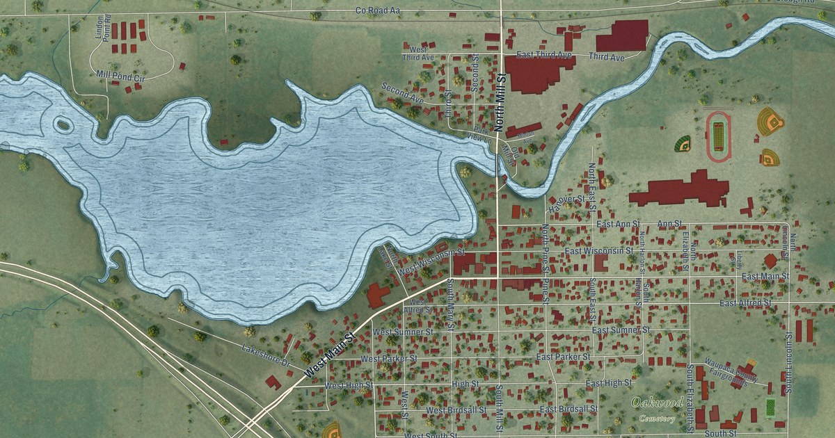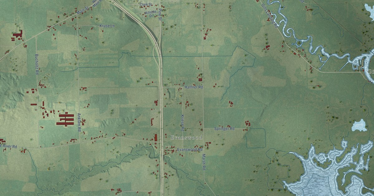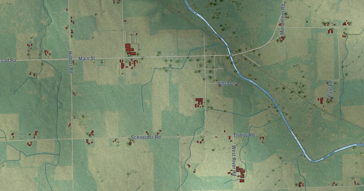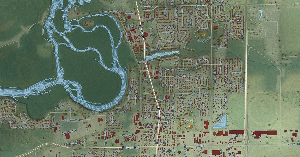
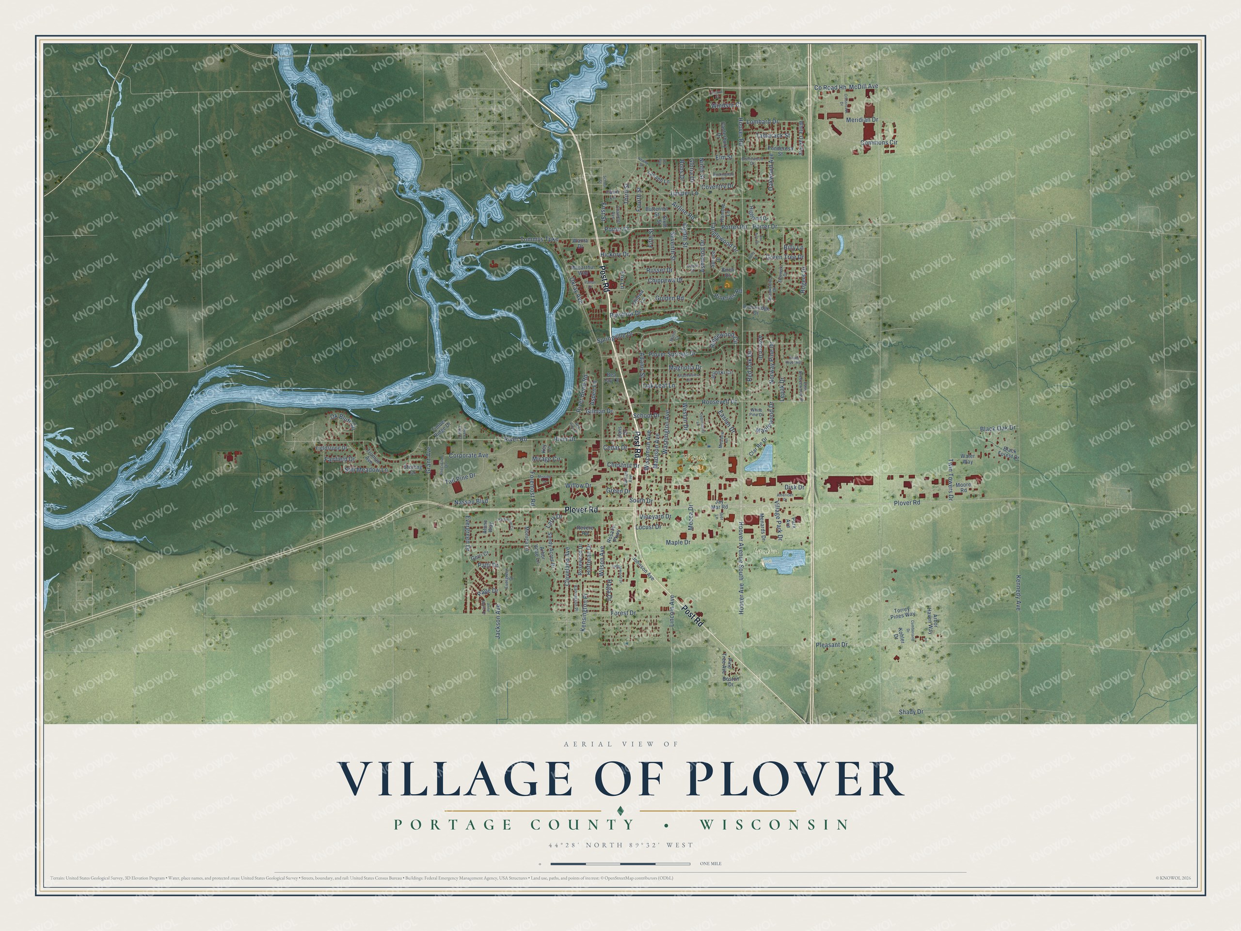
This beautifully detailed map of Plover, Wisconsin was created in 2026 using aerial imagery combined with modern topographical, census, street and landmark data. It's a modern aerial view of Plover in Portage County, Wisconsin, that combines modern data with a vintage aesthetic. The roads feature printed names, and if you look closely you can find your exact house accurately shown in its correct location.
Explore an aerial view of Plover, Wisconsin
On this map you'll find Pacawa Park, Woyak Park, Post Road, Plover Road, Co Road Hh, McDill Avenue, Hoover Avenue, Porter Road, Porter Drive, Willow Drive, Hoover Road, Tommys Turnpike, and more. Each red shape is a building, so zoom in on the preview and look for yours.
Here is a piece of Plover history, in the words of the record. The Portage County History puts it this way: "The first court convened at Plover on the first Monday in April, 1845, in a building owned by Keith & Miles."
Plover is a village in Portage County. The Census Bureau counted 13,519 people here in 2020.
Take a closer look at the Plover map
Names on this map
These names are printed on this map.
Places: Pacawa Park and Woyak Park.
Streets and roads: Post Road, Plover Road, County Road Hh, McDill Avenue, Hoover Avenue, Porter Road, Porter Drive, Willow Drive, Hoover Road, Tommys Turnpike, Kensington Place, Tamarack Street.
More street names, A to Z
Adams Street, Airline Road, Alans Way, American Drive, Anne Marie Drive, Arbor Haven Way, Arbor Vitae Lane, Ashford Drive, Ashwood Drive, Aspen Lane, Bea Jay Lane, Bel Aire Drive, Billy Lane, Birch Drive, Black Forest Drive, Black Oak Drive, Bobs Drive, Boston Drive, Brentwood Drive, Brookridge Drive, Brookshire Drive, Buckingham Drive, Burin Court, Butternut Street, Canterbury Drive, Cedar Drive, Chandler Avenue, Chestnut Drive, Chippewa Drive, Clar Re Drive, Cleveland Avenue, Commons Circle, Corporate Avenue, Court Street, Coventry Drive, Crossroads Drive, Cumberland Drive, Disk Drive, Dons Drive, Earhart Avenue, Easlan Drive, East Breezewood Court, Eighth Street, Elm Court, Elm Street, Evergreen Court, Evergreen Drive, Fairfield Drive, Fawn Lane, Fieldstone Drive, Fifth Street, First Street, Foremost Road, Forest Drive, Fourth Street, Fox Lane, Gerri Court, Gilman Drive, Gloria Drive, Golden Road, Grant Avenue, Green Drive, Green Tree Drive, Haga Drive, Hickory Drive, Highland Drive, Hoffman Drive, Holly Lane, Hoover Avenue South, Iber Lane, Jackson Avenue, Jay Mar Road, Jelinski Circle, Johnson Avenue, Juniper Lane, Karrington Place, Katherine Circle, Kennedy Avenue, Key Lane, Kohler Drive, Lanaeh Lane, Larry Drive, Lepak Drive, Lincoln Avenue, Locust Drive, Lombard Drive, Macarthur Way, Madison Avenue, Magnolia Drive, Maple Drive, Maplewood Drive, Meadow Lane, Mecca Drive, Menards Drive, Meridian Drive, Mirage Circle, Mission Lane, Monica Lane, Moore Road, Nassau Boulevard, Newby Street, Ninth Street, Norway Pine Drive, Oak Leaf Lane, Oakwood Avenue, Ojibwa Lane, Ok Bluff Circle, Okray Avenue, Opportunity Lane, Oxford Court, Page Drive, Park Avenue, Patti Drive, Patton Drive, Pineries Road, Pine Tree Avenue, Pleasant Drive, Plover Springs Drive, Ponderosa Street, Porter Court, Precision Drive, Rainbow Drive, Ramble Lane, Rapid River Run, Red Oak Drive, Red Pine Drive, Revere Road, Ridgewood Circle, River Bend Road, River Drive, River Road, Rivers Edge Court, Rogers Drive, Roosevelt Drive, Rosalie Parkway, Rosewood Drive, Russet Drive, Saddlewood Drive, Sandy Acres Drive, School Drive, School Street, Seventh Street, Shadowview Circle, Shady Drive, Sixth Street, South Drive, Springville Drive, Spruce Drive, Sterling Drive, Still Meadow Lane, Tall Pine Drive, Tanglewood Drive, Third Street, Timber Ridge Drive, Torrey Pines Way, Truman Avenue, Twin Towers Drive, Village Park Drive, Vineyard Drive, Wanta Drive, Washington Avenue, Water Way, Weslan Drive, White Oak Avenue, White Pine Drive, Wilson Avenue, Windsor Court, Wisconsin Avenue, Zblewski Drive.
Created by KNOWOL in 2026. The buildings are small red shapes, the roads carry their printed names, and shaded relief shows the shape of the land. The title panel reads "AERIAL VIEW OF VILLAGE OF PLOVER, PORTAGE COUNTY • WISCONSIN" with 44°28' NORTH 89°32' WEST.
It suits a den, a classroom or a front hall, and it makes a gift for anyone with Plover roots. Open the preview and find the block you know. See sizes and frames for the Plover map.