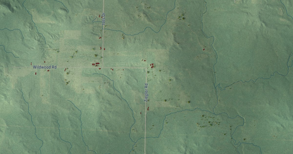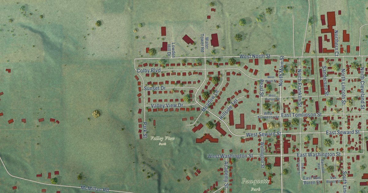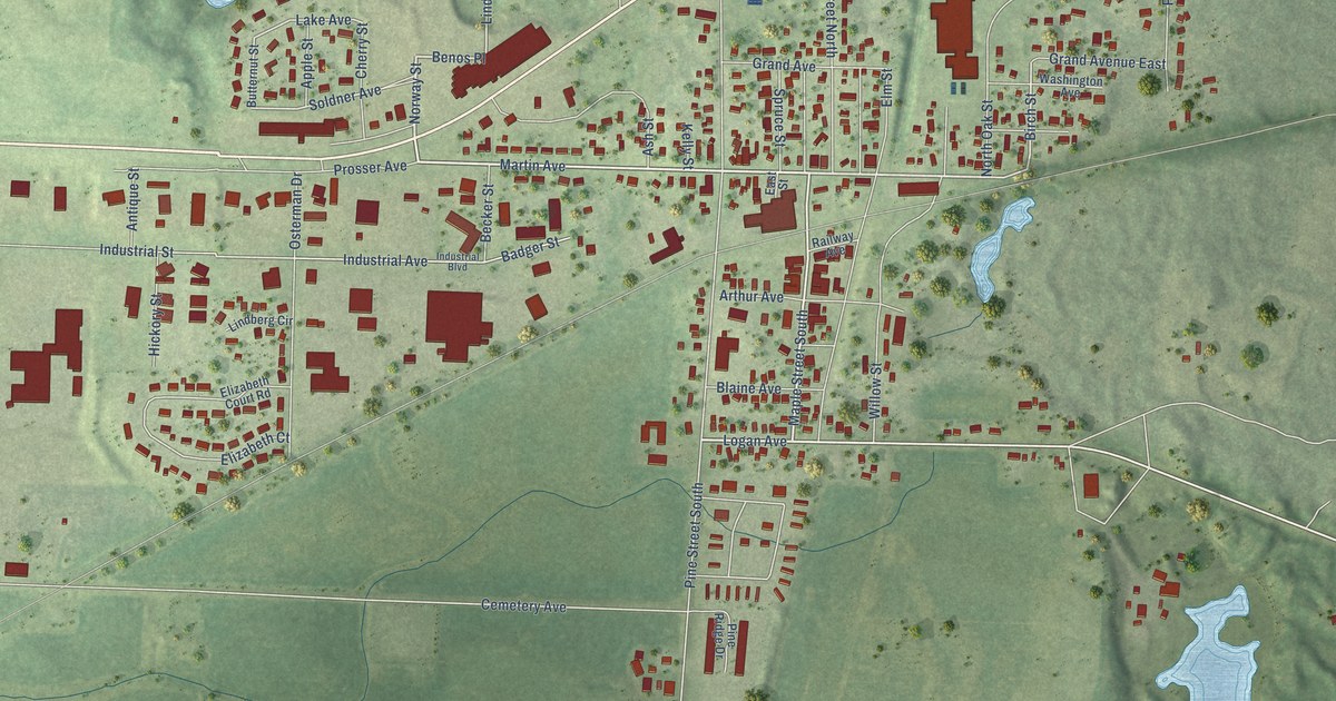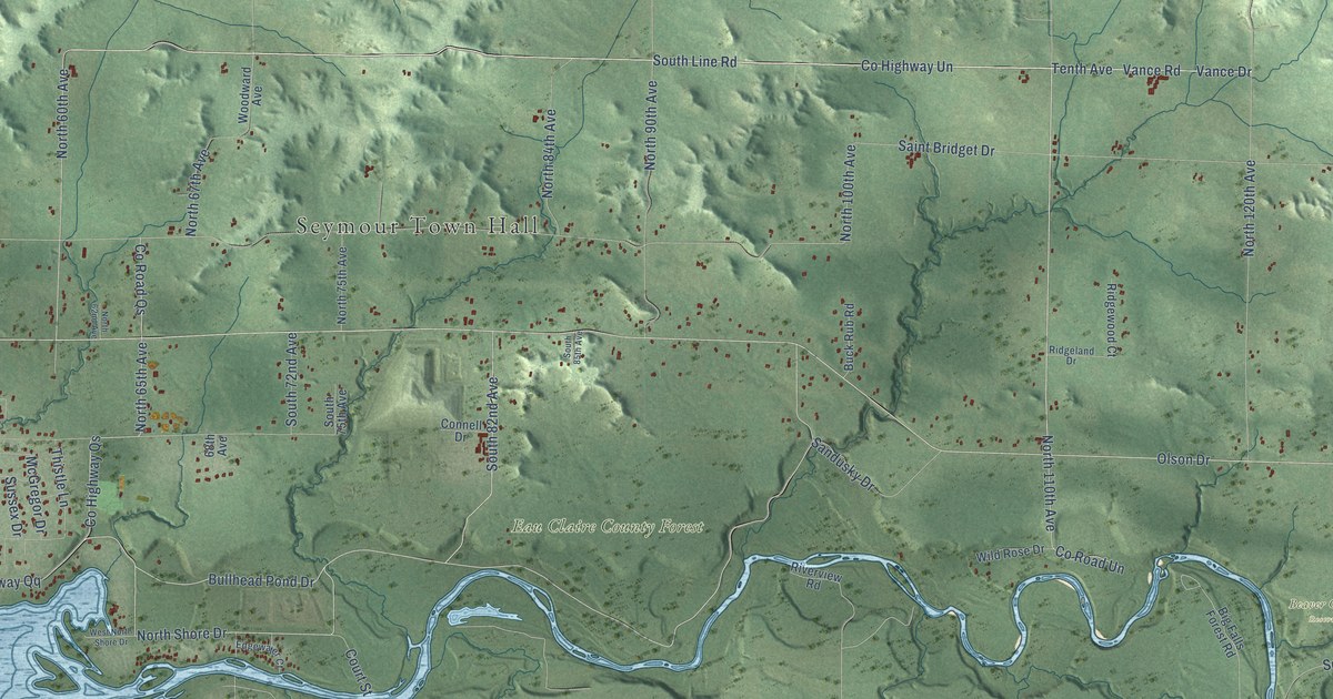
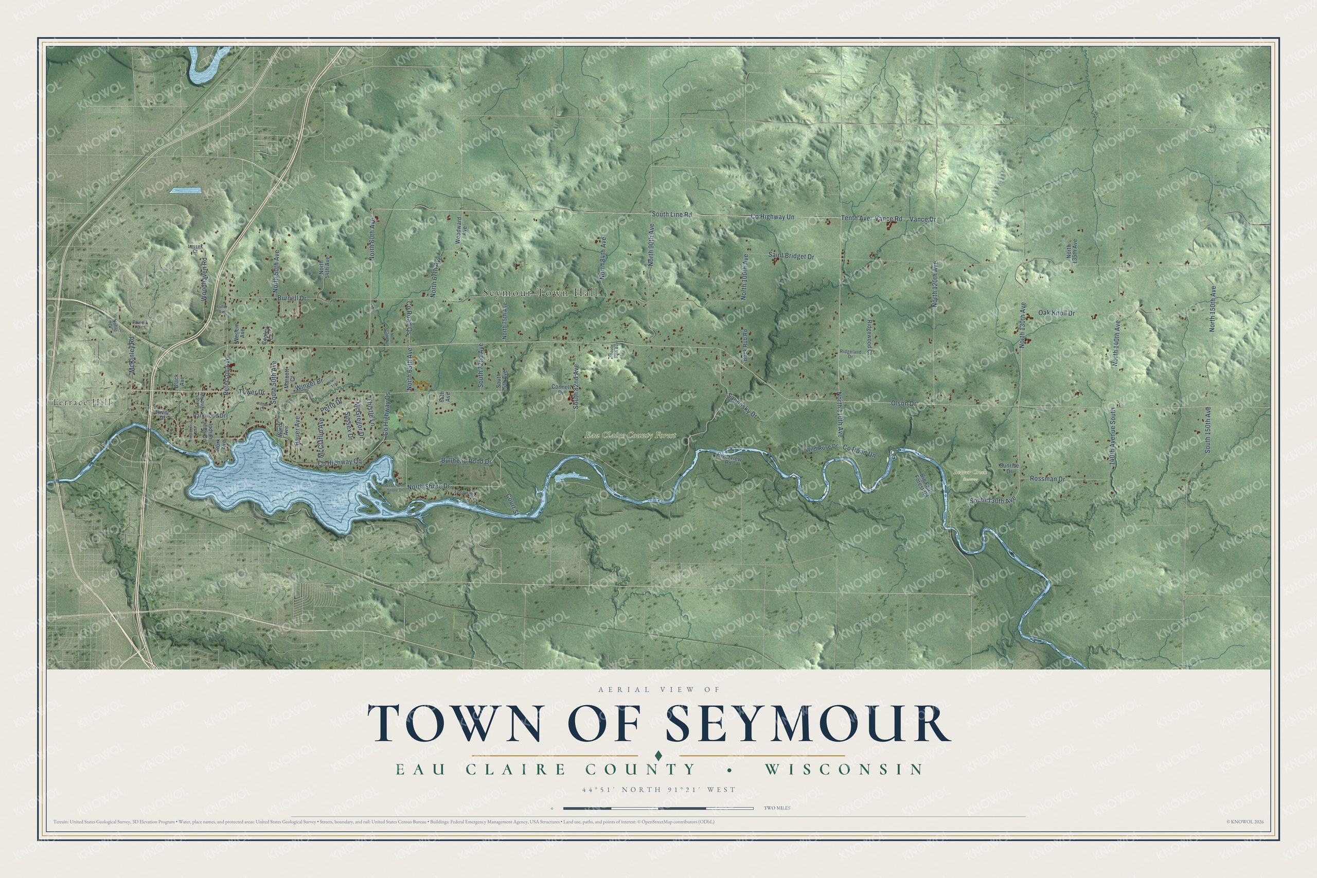
This beautifully detailed map of Seymour, Wisconsin was created in 2026 using aerial imagery combined with modern topographical, census, street and landmark data. It's a modern aerial view of Seymour in Eau Claire County, Wisconsin, that combines modern data with a vintage aesthetic. The roads feature printed names, and if you look closely you can find your exact house accurately shown in its correct location.
Explore an aerial view of Seymour, Wisconsin
On this map you'll find Seymour Town Hall, Beaver Creek Reserve, Eau Claire County Forest, Terrace Hill, Vance Drive, Tenth Avenue, Co Highway Un, Vance Road, South Line Road, Tower Drive, Olson Drive, Rossman Drive, and more. Each red shape is a building, so zoom in on the preview and look for yours.
Seymour has a story worth telling. The Eau Claire County History puts it this way: "The town of Otter Creek was set off in April, 1867, the town of Washington in January, 1868, and the town of Seymour in March, 1872."
Seymour is a town in Eau Claire County. The Census Bureau counted 3,352 people here in 2020.
Take a closer look at the Seymour map
Names on this map
These names are printed on this map.
Places: Seymour Town Hall, Beaver Creek Reserve, Eau Claire County Forest and Terrace Hill.
Streets and roads: Vance Drive, Tenth Avenue, County Highway Un, Vance Road, South Line Road, Tower Drive, Olson Drive, Rossman Drive, County Highway Qq, North 150th Avenue, North 130th Avenue, North 140th Avenue.
More street names, A to Z
68th Avenue, 140th Avenue South, Bauer Avenue, Big Falls Forest Road, Black Avenue, Buck Rub Road, Bullhead Pond Drive, Burnell Drive, Connell Drive, Cooley Court, County Highway Qs, County Road Qs, County Road Un, Court Street, Edgewater Court, Fuller Avenue, Hotchkiss Avenue, Indian Hills Drive, Lassek Court, Marcott Court, McClaflin Avenue, McGregor Drive, McKinley Road, Noble Drive, North 50th Avenue, North 54th Avenue, North 60th Avenue, North 62nd Avenue, North 65th Avenue, North 67th Avenue, North 75th Avenue, North 84th Avenue, North 90th Avenue, North 100th Avenue, North 110th Avenue, North 120th Avenue, North 135th Avenue, North Shore Drive, Oak Knoll Drive, Parkwood Drive, Perth Drive, Peterson Avenue, Powell Drive, Ridgeland Drive, Ridgewood Court, Ritsch Court, River Drive, Riverview Road, Rork Avenue, Saint Bridget Drive, Sandusky Drive, South 42nd Avenue, South 50th Avenue, South 72nd Avenue, South 75th Avenue, South 82nd Avenue, South 85th Avenue, South 130th Avenue, South 150th Avenue, Sunrise Drive, Sussex Drive, Thistle Lane, Ward Avenue, Werlein Avenue, West North Shore Drive, Wild Rose Drive, Winget Drive, Woodhaven Road, Wood Trail, Woodward Avenue.
Created by KNOWOL in 2026. The buildings are small red shapes, the roads carry their printed names, and shaded relief shows the shape of the land. The title panel reads "AERIAL VIEW OF TOWN OF SEYMOUR, EAU CLAIRE COUNTY • WISCONSIN" with 44°51' NORTH 91°21' WEST.
It looks right in a kitchen, an office or a den, and it's a gift for anyone who grew up in Seymour or moved away. Open the preview and find your street. See sizes and frames for the Town of Seymour, Eau Claire County map.