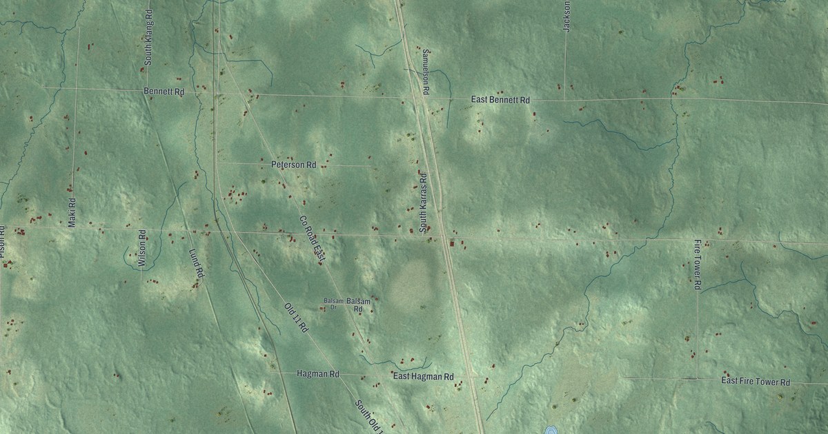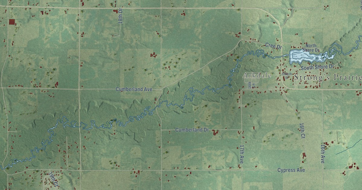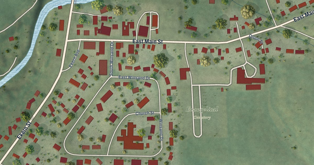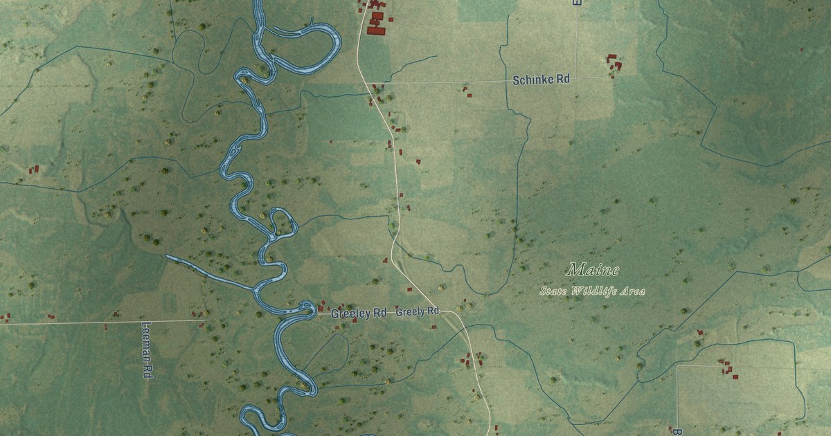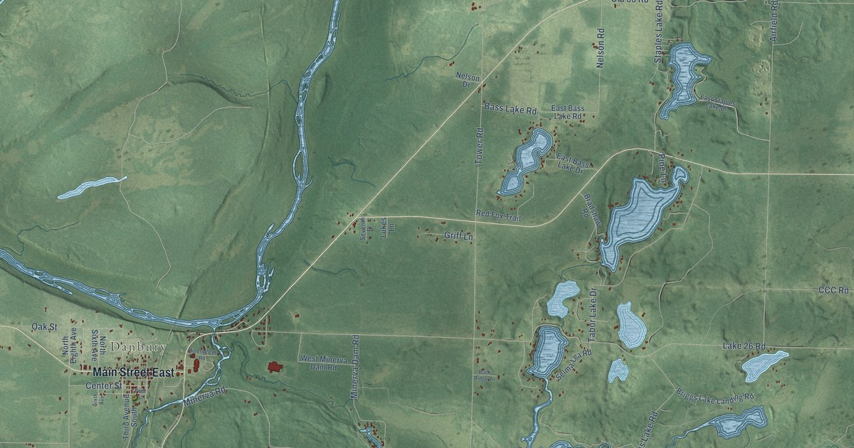
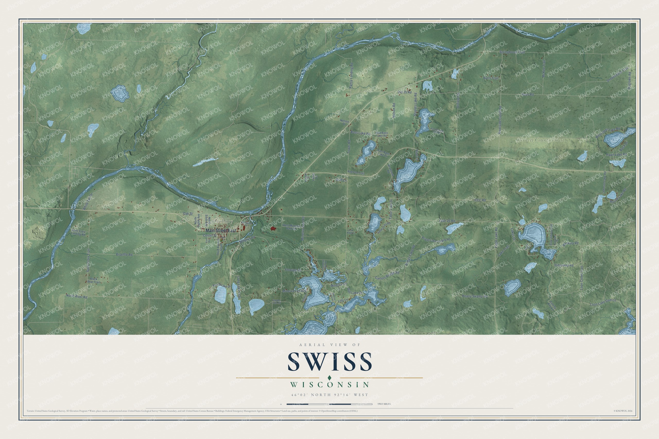
This beautifully detailed map of Swiss, Wisconsin was created in 2026 using aerial imagery combined with modern topographical, census, street and landmark data. It's a modern aerial view of Swiss in Burnett County, Wisconsin, that combines modern data with a vintage aesthetic. The roads feature printed names, and if you look closely you can find your exact house accurately shown in its correct location.
Explore an aerial view of Swiss, Wisconsin
On this map you'll find Danbury, Burnett County Forest, Main Street East, Minerva Circle, Dogtown Road, Tabor Lake Drive, Tower Road, CCC Road, Lake 26 Road, Haus Road, Airfield Road, Springbrook Trail, and more. Each red shape is a building, so zoom in on the preview and look for yours.
Swiss is a town in Burnett County. The Census Bureau counted 807 people here in 2020. The map prints the town name in its title panel, with the coordinates below it.
Take a closer look at the Swiss map
Names on this map
These names are printed on this map.
Places: Danbury and Burnett County Forest.
Streets and roads: Main Street East, Minerva Circle, Dogtown Road, Tabor Lake Drive, Tower Road, CCC Road, Lake 26 Road, Haus Road, Airfield Road, Springbrook Trail, Lakes Drive, Old 35 Road.
More street names, A to Z
Bass Lake Road, Black Bear Trail, Bradshaw Road, Briggs Lake Landing Road, Briggs Lake Road, Broeffle Road, Buck Drive, Buck Ridge Lane, Burls Trail, Carters Bridge Road, Center Street, Conroy Fire Lane, Cranberry Lake Drive, Eagle Lake Road, East Bass Lake Drive, East Bass Lake Road, East Staples Lake Drive, Eliot Johnson Road, Fawn Lake Road, Flowage Drive, Griff Lane, Gull Lake Drive, Hayden Lake Road, Hideaway Road, Johnson Lake Road, Lake Trail, Lilly Lane, Long Lake Trail, Loon Creek Trail, Loon Lake Dam Lane, Lukes Lane, Lunsman Drive, Mahlen Drive, McKee Trail, Minerva Circle Road, Minerva Dam Road, Minerva Landing, Minerva Road, Myrick Lake Road, Nelson Drive, Nelson Road, North Eighth Avenue, North River Road, North Sixth Avenue, Oak Street, Pansy Landing Road, Pearly Swamp Road, Peet Street, Pine Lane, Red Fox Trail, Riverside Cutoff Road, Riversmeet Road, Rookery Road, Round Lake Drive, Saint Croix Landing Road, Saint Croix Trail, Selma Lea Road, Seventh Place, Shaw Drive, Sixth Avenue, Snowmobile Trail, Staples Lake Road, Third Avenue South, West Deer Lake Road, West Minerva Dam Road, White Tail Drive.
Created by KNOWOL in 2026. The buildings are small red shapes, the roads carry their printed names, and shaded relief shows the shape of the land. The title panel reads "AERIAL VIEW OF SWISS, WISCONSIN" with 46°02' NORTH 92°16' WEST.
It suits a den, a classroom or a front hall, and it makes a gift for anyone with Swiss roots. Open the preview and find the block you know. See sizes and frames for the Swiss map.