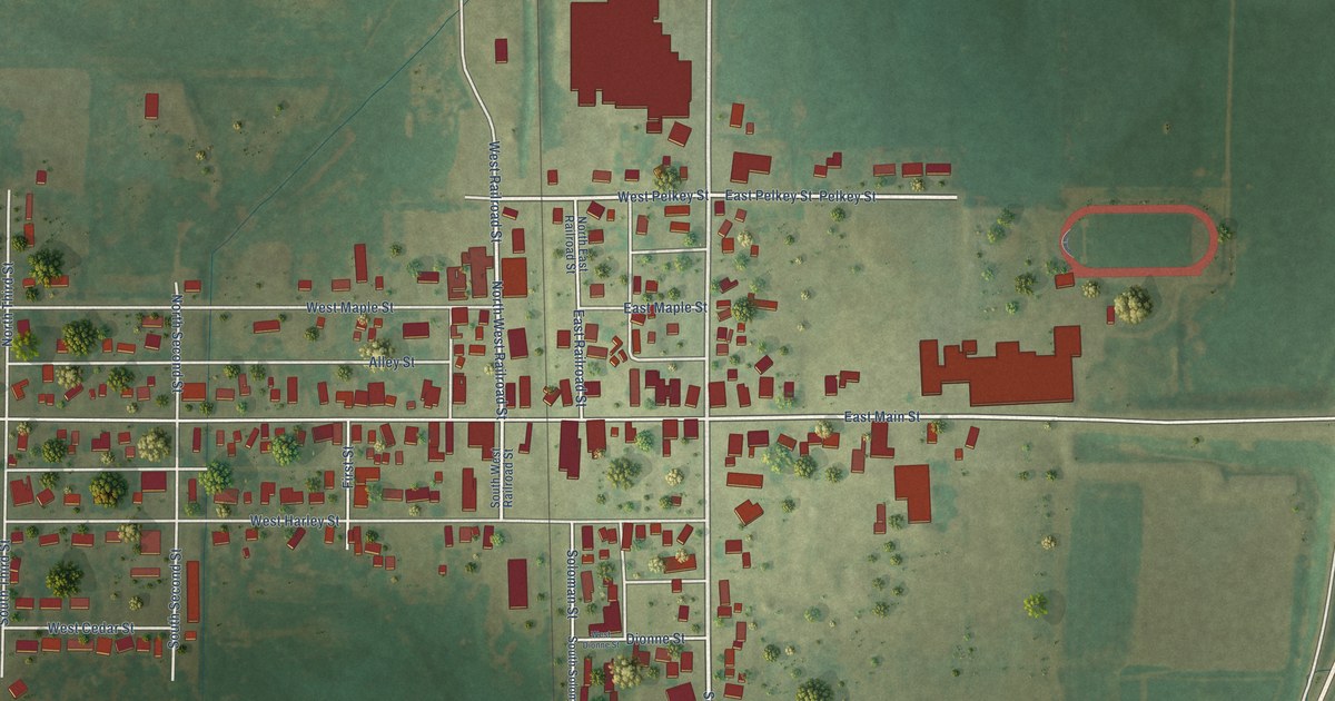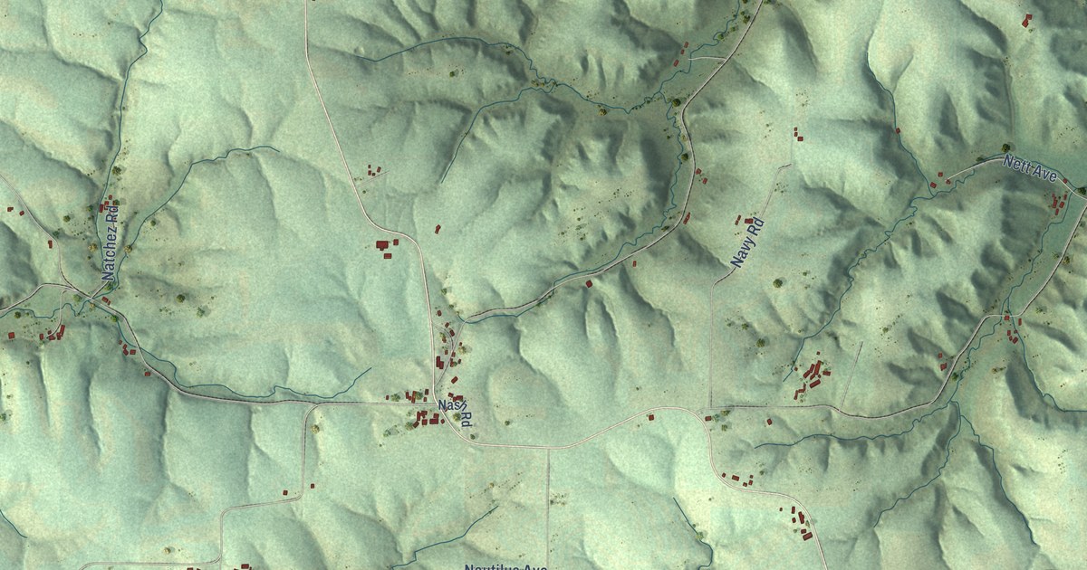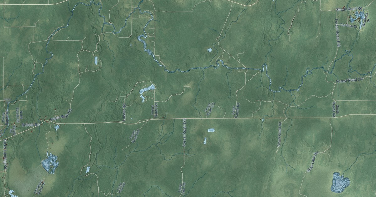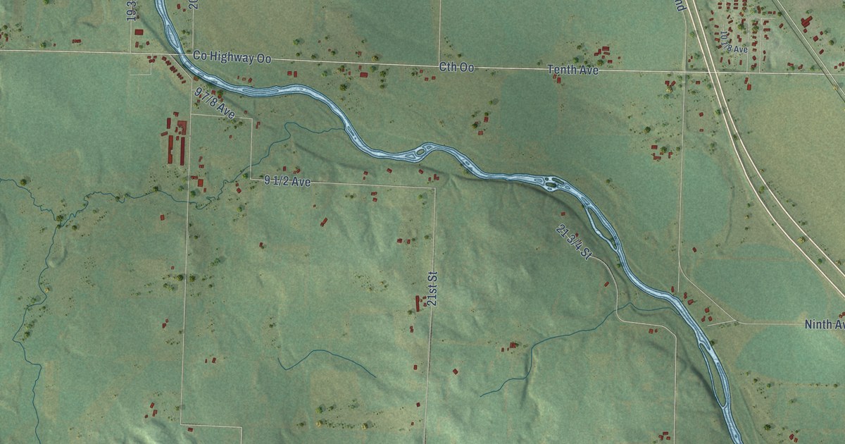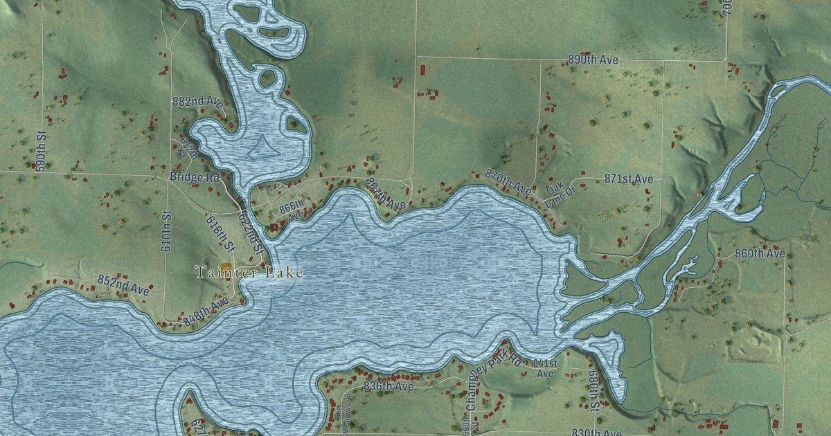
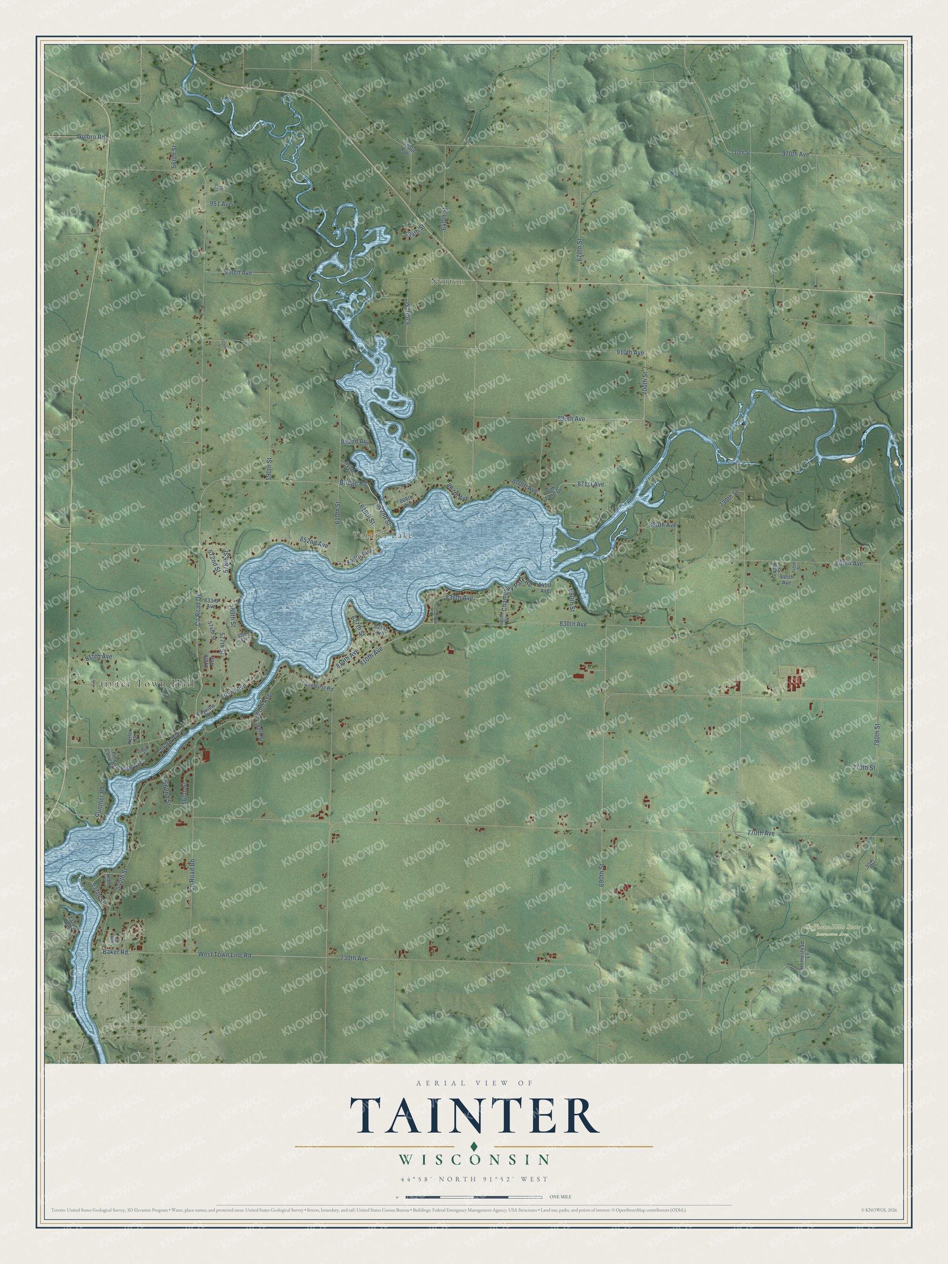
This beautifully detailed map of Tainter, Wisconsin was created in 2026 using aerial imagery combined with modern topographical, census, street and landmark data. It's a modern aerial view of Tainter in Dunn County, Wisconsin, that combines modern data with a vintage aesthetic. The roads feature printed names, and if you look closely you can find your exact house accurately shown in its correct location.
Explore an aerial view of Tainter, Wisconsin
On this map you'll find Tainter Town Hall, Norton, Tainter Lake, Hoffman Hills State Recreation Area, 870th Avenue, 848th Avenue, Bridge Road, 622nd Street, 810th Avenue, 618th Street, 700th Street, 730th Avenue, and more. Each red shape is a building, so zoom in on the preview and look for yours.
Here is a piece of Tainter history, in the words of the record. The History of Dunn County Wisconsin puts it this way: "Grand View Camps in the town of Tainter, on the backwater lake from the Red Cedar River, were laid out by William and Mary Burch in 1921 as a summer resort."
Tainter is a town in Dunn County. The Census Bureau counted 2,643 people here in 2020.
Take a closer look at the Tainter map
Names on this map
These names are printed on this map.
Places: Tainter Town Hall, Norton, Tainter Lake and Hoffman Hills State Recreation Area.
Streets and roads: 870th Avenue, 848th Avenue, Bridge Road, 622nd Street, 810th Avenue, 618th Street, 700th Street, 730th Avenue, 970th Avenue, 910th Avenue, 730th Street, County Road Bb.
More street names, A to Z
535th Street, 537th Street, 540th Street, 548th Street, 555th Street, 560th Street, 562nd Street, 567th Street, 572nd Street, 573 Street, 574th Street, 575th Street, 577th Street, 578th Street, 580th Street, 588th Street, 590th Street, 610th Street, 612th Street, 627th Street, 630th Street, 634th Street, 640th Street, 660th Street, 670th Street, 680th Street, 690th Street, 710th Street, 732nd Avenue, 740th Street, 745th Street, 770th Avenue, 770th Street, 780th Street, 784th Avenue, 797th Avenue, 800th Avenue, 803rd Avenue, 815th Avenue, 816th Avenue, 819th Avenue, 821st Avenue, 824th Avenue, 830th Avenue, 833rd Avenue, 836th Avenue, 841st Avenue, 845th Avenue, 850th Avenue, 852nd Avenue, 860th Avenue, 866th Avenue, 867th Avenue, 871st Avenue, 882nd Avenue, 890th Avenue, 930th Avenue, 951 Avenue, 990th Avenue, Baker Road, Bayview Road, Champney Park Road, County Road Dg, Gulbro Road, Gunther Road, Heller Court, Homestead Lane, Lakehurst Road, Oak Lane Drive, Pine Cone Road, Smith Road, The Meadows Road, West Town Line Road.
Created by KNOWOL in 2026. The buildings are small red shapes, the roads carry their printed names, and shaded relief shows the shape of the land. The title panel reads "AERIAL VIEW OF TAINTER, WISCONSIN" with 44°58' NORTH 91°52' WEST.
It suits a den, a classroom or a front hall, and it makes a gift for anyone with Tainter roots. Open the preview and find the block you know. See sizes and frames for the Tainter map.