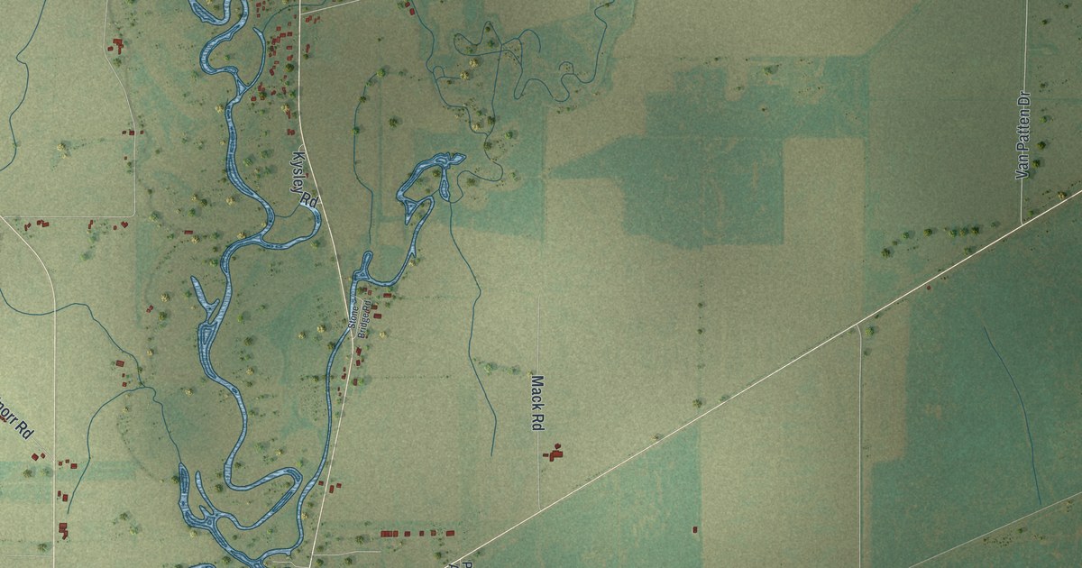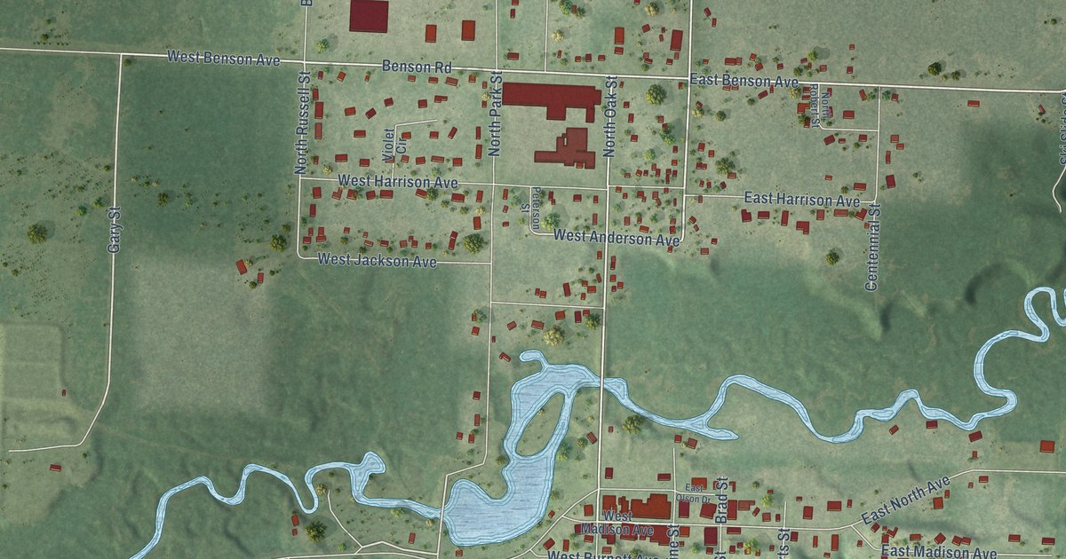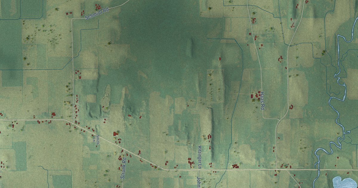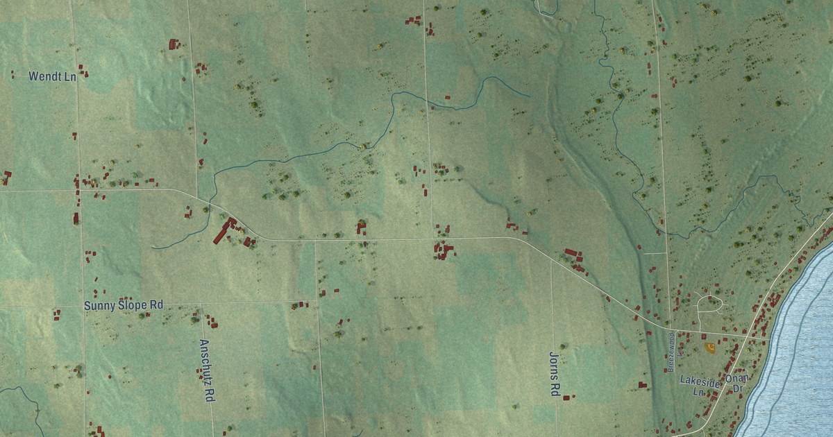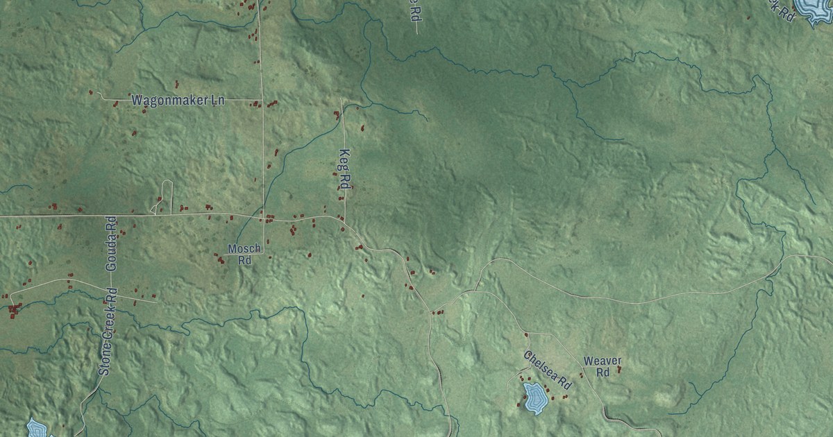
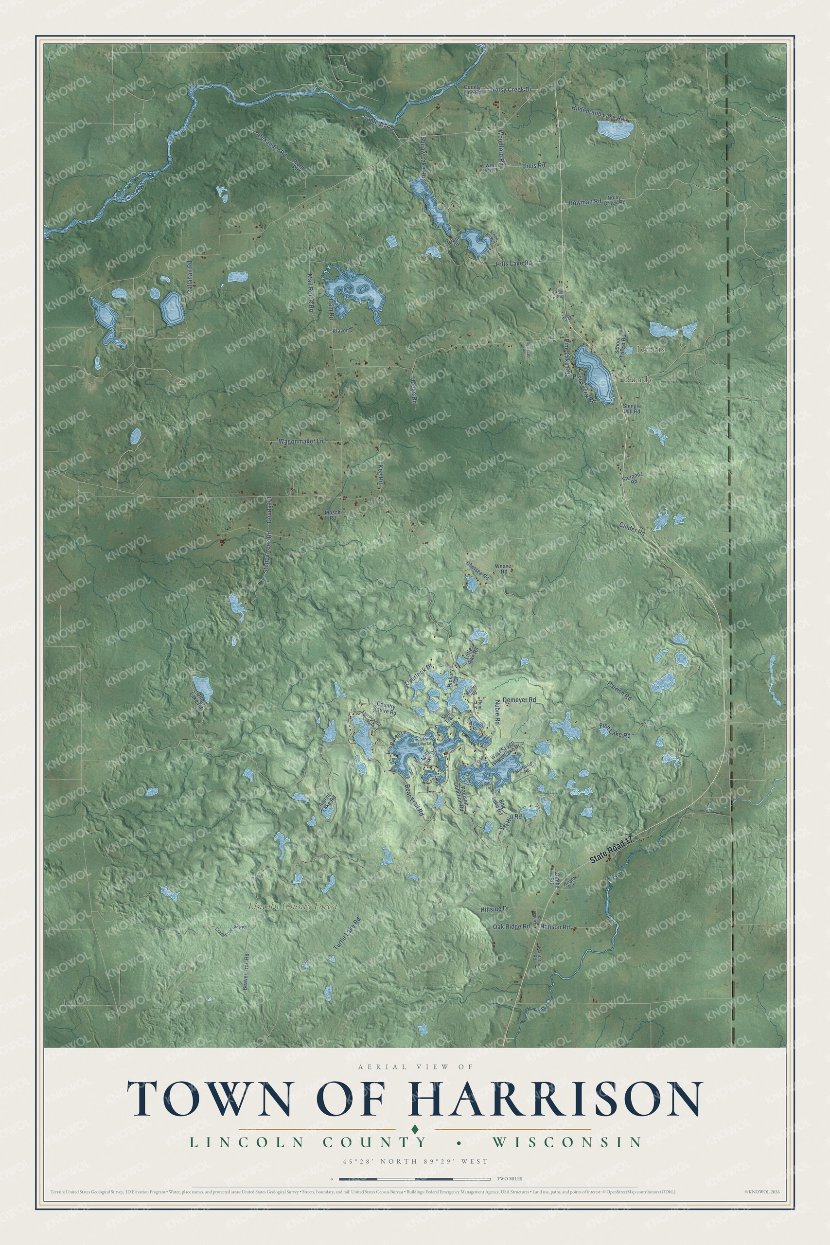
This beautifully detailed map of Harrison, Wisconsin was created in 2026 using aerial imagery combined with modern topographical, census, street and landmark data. It's a modern aerial view of Harrison in Lincoln County, Wisconsin, that combines modern data with a vintage aesthetic. The roads feature printed names, and if you look closely you can find your exact house accurately shown in its correct location.
Explore an aerial view of Harrison, Wisconsin
On this map you'll find Jeffris, Bundy, Lincoln County Forest, State Road 17, Pine Lake Road, Noisy Creek Drive, Woodford Road, Bear Trail Road, Parrish Road, Turtle Lake Road, Cinder Road, Hilts Lake Road, and more. Each red shape is a building, so zoom in on the preview and look for yours.
Harrison is a town in Lincoln County. The Census Bureau counted 828 people here in 2020. The map prints the town name in its title panel, with the coordinates below it.
Take a closer look at the Harrison map
Names on this map
These names are printed on this map.
Places: Jeffris, Bundy and Lincoln County Forest.
Streets and roads: State Road 17, Pine Lake Road, Noisy Creek Drive, Woodford Road, Bear Trail Road, Parrish Road, Turtle Lake Road, Cinder Road, Hilts Lake Road, Mail Route Road, Ski Hill Road, Hillside Drive.
More street names, A to Z
7 Island, Alexander Road, Ament Lake Road, Bass Lake Lane, Beaver Trail Road, Bog Lake Road, Bowman Road, Braun Drive, Buteau Road, Callahan Road, Camp 10 Road, Chelsea Road, Country Squire Road, County Line Road, Crane Foot Lake Road, Dam Road, Demeyer Road, East Pickeral Lake Road, Fish Lake Road, Gartman Road, Goehe Road, Gouda Road, Grouse Road, Hanson Road, Hickory Drive, Hildebrand Lake Road, Hoebe Road, Keg Road, Klaver Drive, Little Pike Road, Lon Basco Lane, Long Lake Drive, Marquardt Road, Mosch Road, Noisy Creek Road, Nubie Road, Oak Ridge Road, Old 63, Otter Lake Road, Overlook Drive, Patti Lane, Paulson Junction Road, Pine Creek Road, Plantation Road, Renn Lane, School Forest Road, Shingle Mill Road, Star Trail, Stefanez Road, Stone Creek Road, Stone Hill Lane, Theis Road, Tomptabo Road, Wagonmaker Lane, Ward Road, Weaver Road, West Seven Island Lake Drive, West Theis Road, Wright Avenue.
Created by KNOWOL in 2026. The buildings are small red shapes, the roads carry their printed names, and shaded relief shows the shape of the land. The title panel reads "AERIAL VIEW OF TOWN OF HARRISON, LINCOLN COUNTY • WISCONSIN" with 45°28' NORTH 89°29' WEST.
Hang it in the hallway, the office or the cabin, or give it to someone who left Harrison and still calls it home. Open the preview and look for a street you know. See sizes and frames for the Town of Harrison, Lincoln County map.