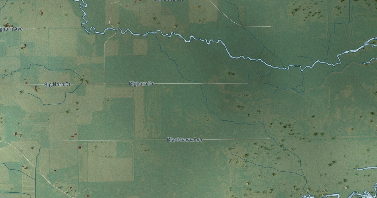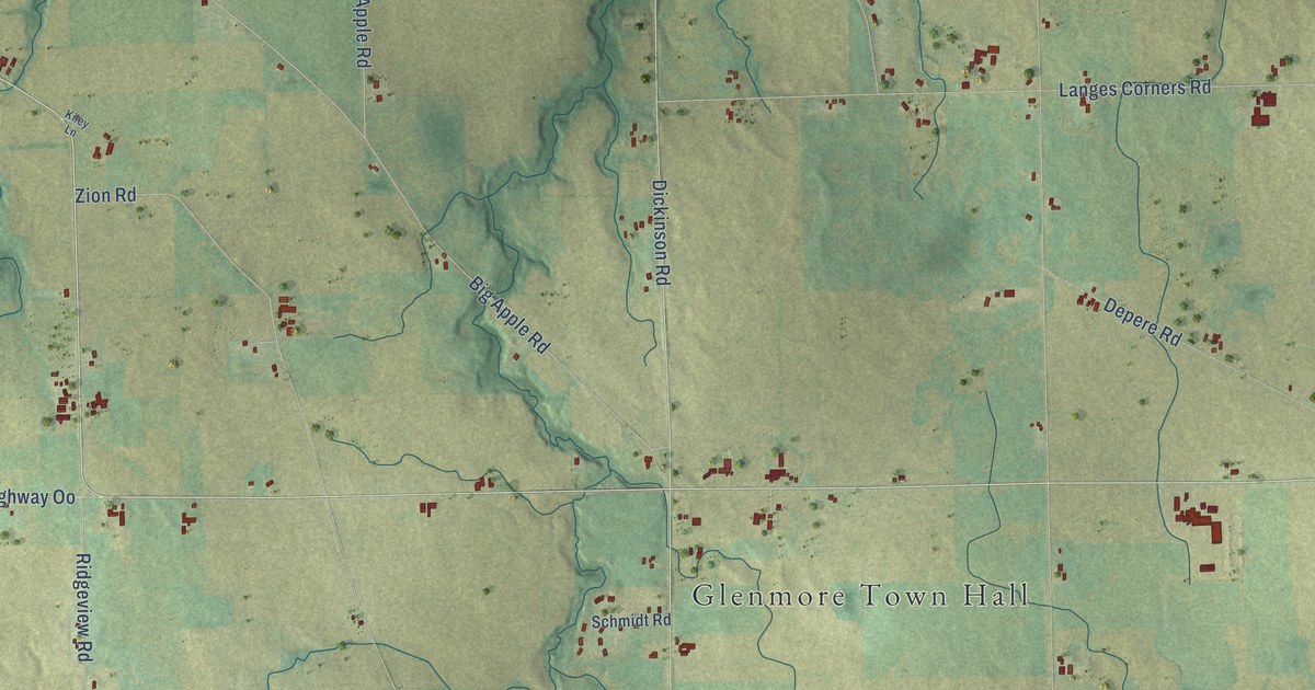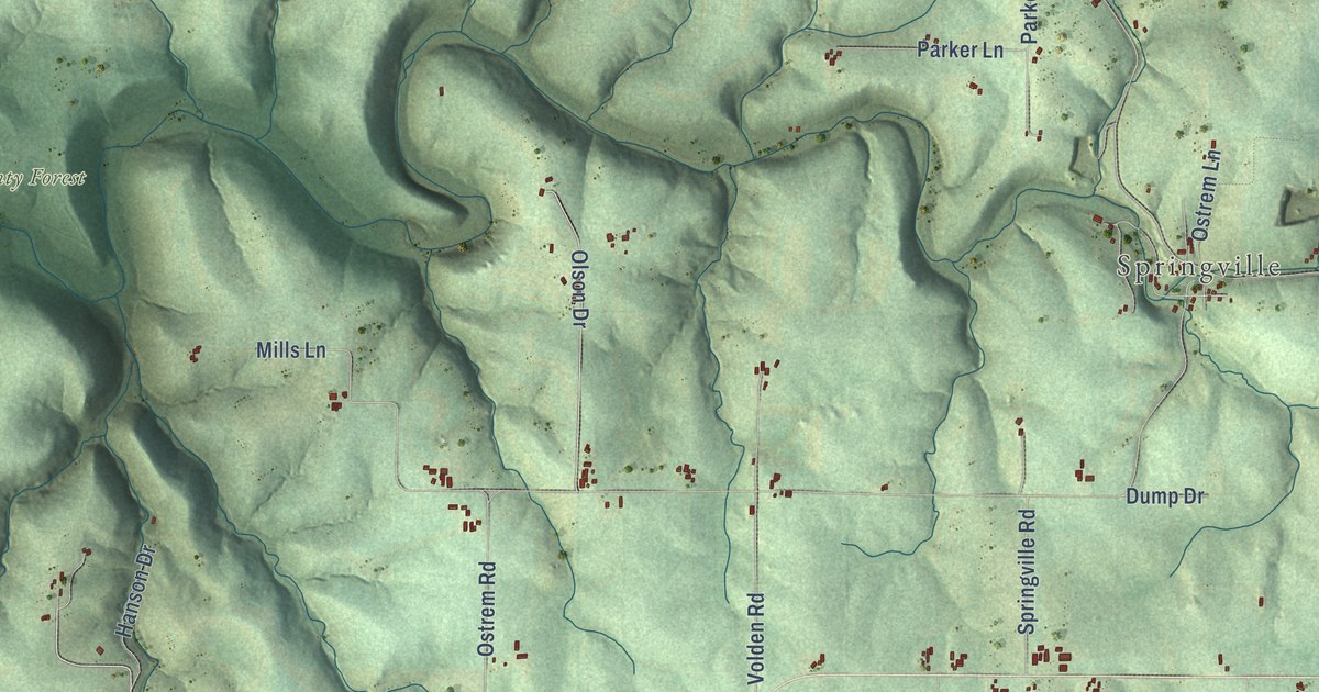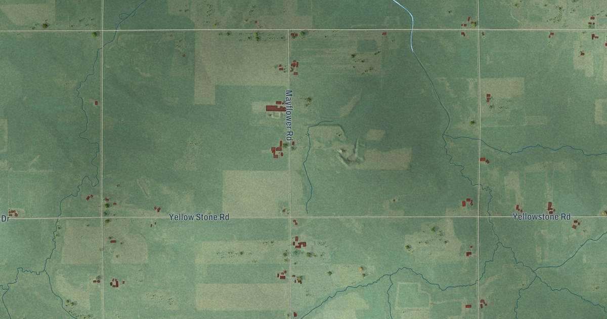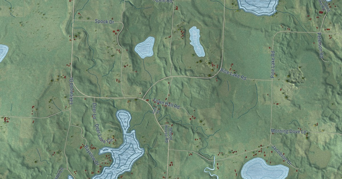
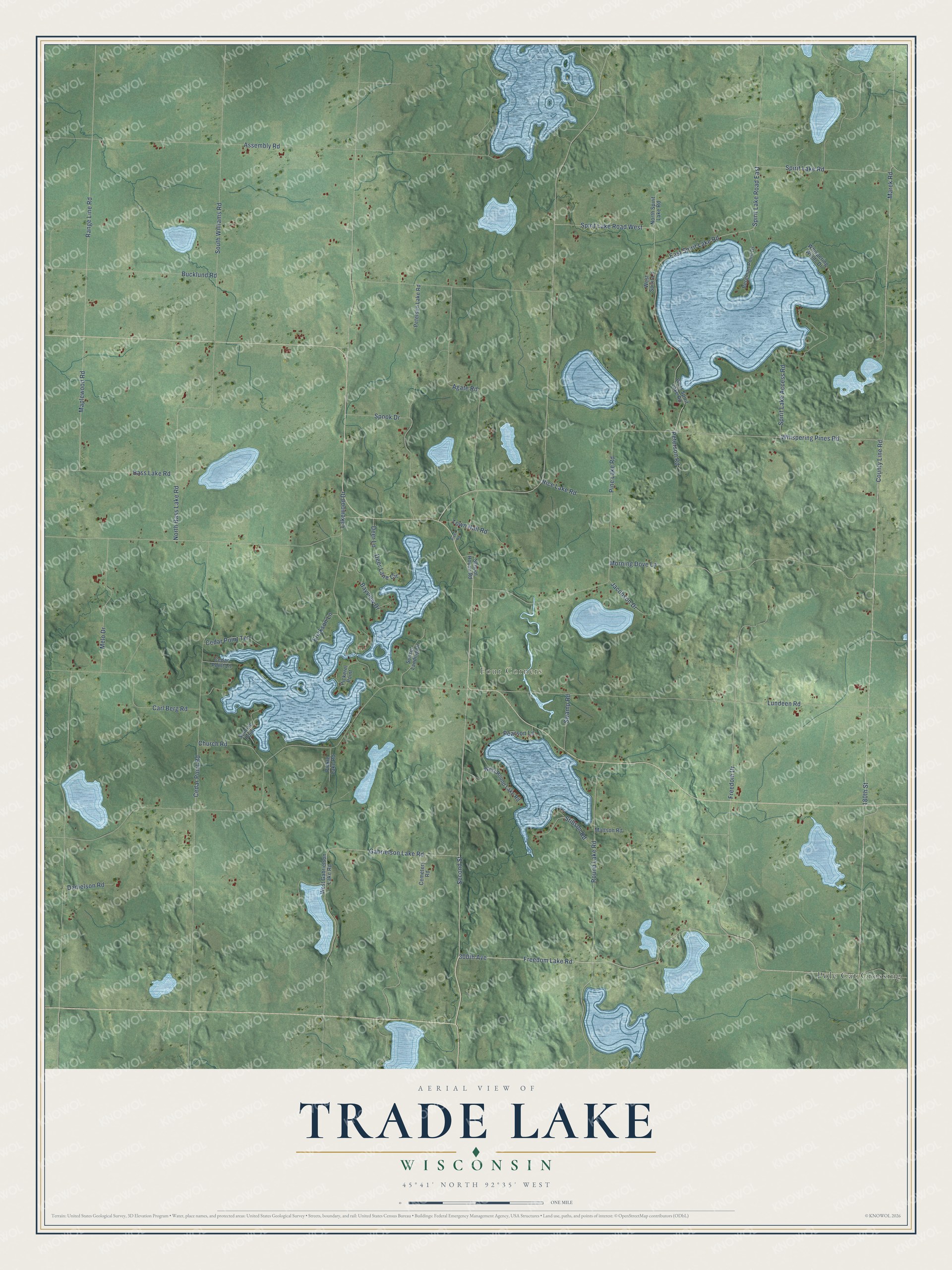
This beautifully detailed map of Trade Lake, Wisconsin was created in 2026 using aerial imagery combined with modern topographical, census, street and landmark data. It's a modern aerial view of Trade Lake in Burnett County, Wisconsin, that combines modern data with a vintage aesthetic. The roads feature printed names, and if you look closely you can find your exact house accurately shown in its correct location.
Explore an aerial view of Trade Lake, Wisconsin
On this map you'll find Four Corners, Pole Cat Crossing, Freedom Lake Road, 300th Avenue, Second Street, 180th Street, Marek Road, County Line Road, Freedom Drive, Gabrielson Lake Road, Spirit Lake Road, Whispering Pines Road, and more. Each red shape is a building, so zoom in on the preview and look for yours.
Every town has a first chapter, and Trade Lake is no exception. The Town of Trade Lake puts it this way: "Charles Anderson came to the area in 1868 and settled in the Four Corners area which was the first settlement in the Town of Trade Lake."
Trade Lake is a town in Burnett County. The Census Bureau counted 904 people here in 2020.
Take a closer look at the Trade Lake map
Names on this map
These names are printed on this map.
Places: Four Corners and Pole Cat Crossing.
Streets and roads: Freedom Lake Road, 300th Avenue, Second Street, 180th Street, Marek Road, County Line Road, Freedom Drive, Gabrielson Lake Road, Spirit Lake Road, Whispering Pines Road, Range Line Road, Assembly Road.
More street names, A to Z
Agate Road, Bass Lake Road, Bayview Drive, Bergman Point Drive, Bucklund Road, Carl Berg Road, Cedar Point Lane, Cedar Point Road, Cedar Point Terrace, Cemetery Road, Church Road, Danielson Road, Deer Lane, Deer Lane Circle, East Spirit Lake Road, Erickson Lane, Jacobson Drive, Lakewood Drive, Lundeen Road, Maplewood Road, Mattson Road, Melo Drive, Morning Dove Lane, North Bass Lake Road, North Spirit Lake Road, Pearson Lane, Peterson Lake Road, Peterson Road, Pickerel Point, Pickle Lake Road, Pine Lake Road, Rice Lake Road, River Road, Round Lake Road, School House Road, South Williams Road, Spirit Lake Access Road, Spirit Lake Road East, Spirit Lake Road West, Spook Drive, Stillson Road, Sunrise Point, Sunset Landing Drive, Swamp Road, Town Hall Road, West Gabrielson Lake Road, West Round Lake Road, West Spirit Lake Road, West Spirit Lane, Whispering Winds Drive.
Created by KNOWOL in 2026. The buildings are small red shapes, the roads carry their printed names, and shaded relief shows the shape of the land. The title panel reads "AERIAL VIEW OF TRADE LAKE, WISCONSIN" with 45°41' NORTH 92°35' WEST.
Hang it in the hallway, the office or the cabin, or give it to someone who left Trade Lake and still calls it home. Open the preview and look for a street you know. See sizes and frames for the Trade Lake map.