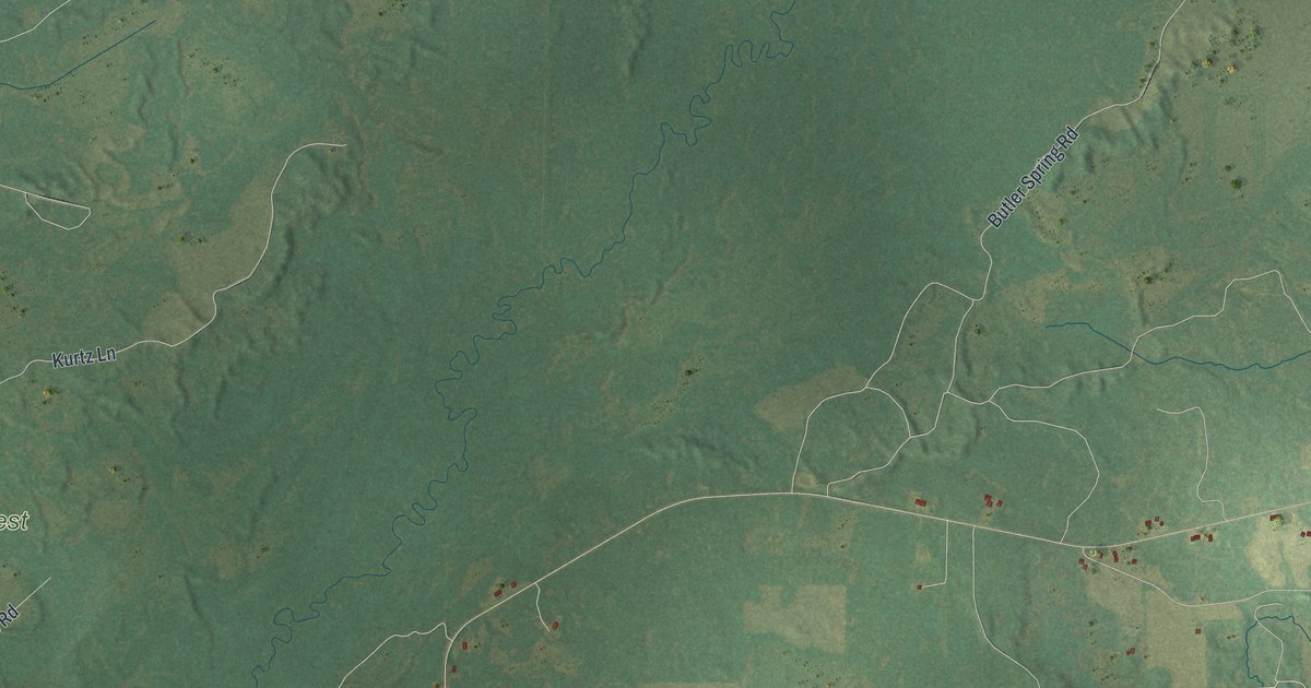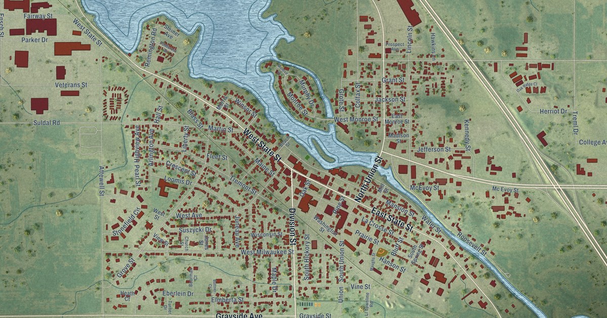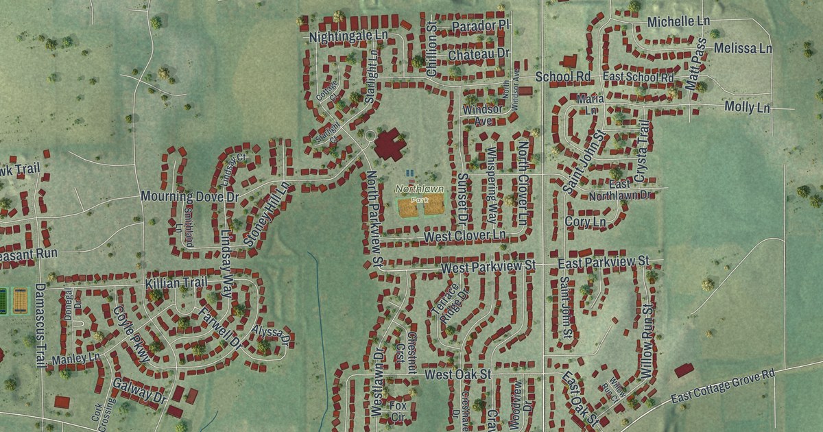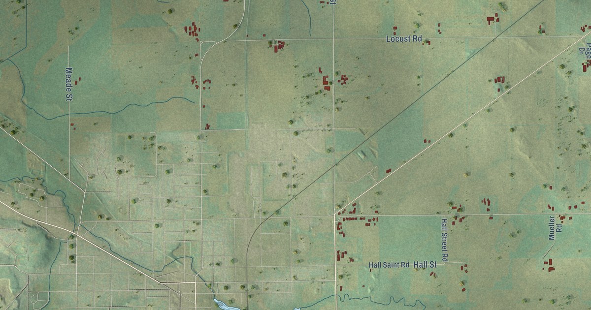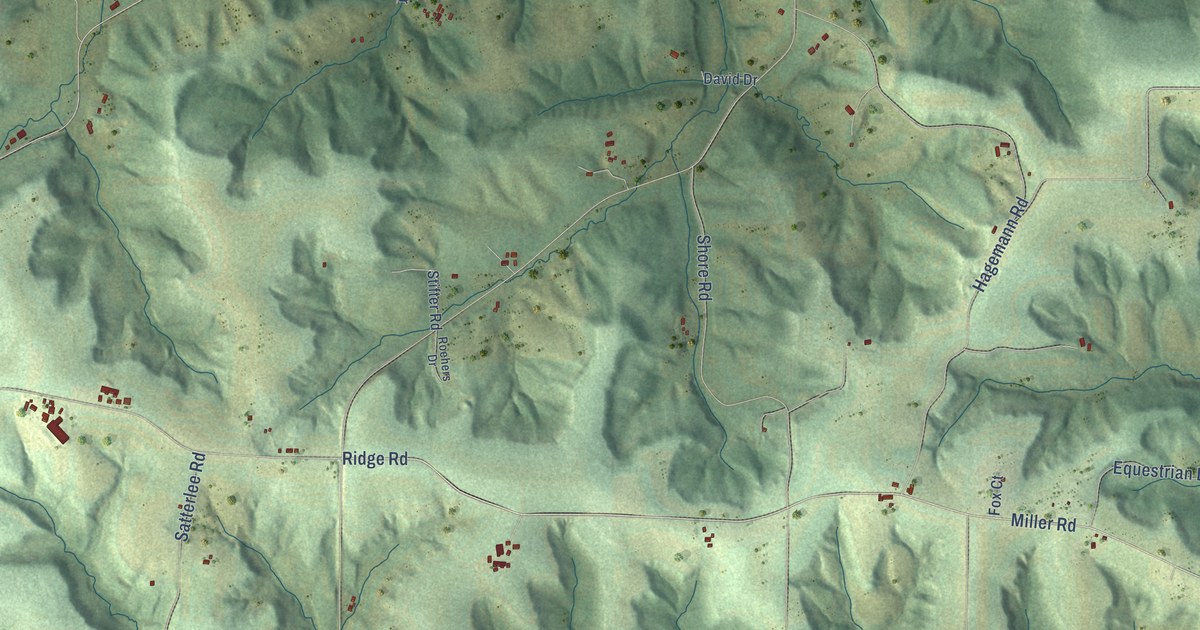
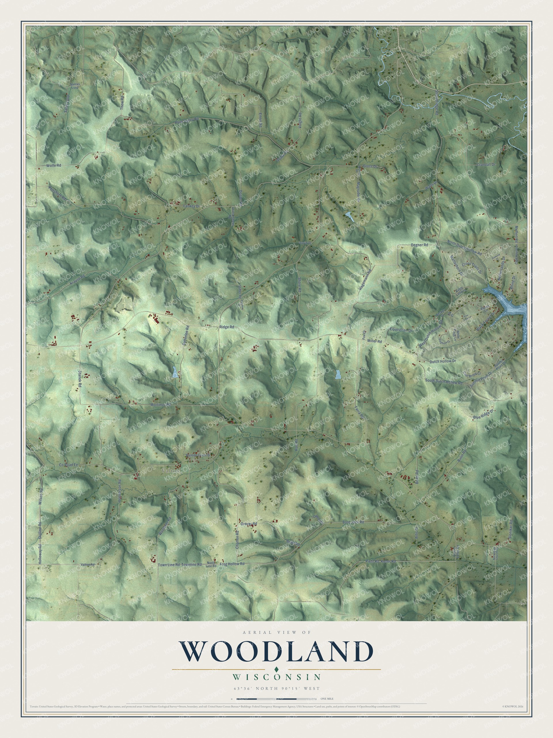
This beautifully detailed map of Woodland, Wisconsin was created in 2026 using aerial imagery combined with modern topographical, census, street and landmark data. It's a modern aerial view of Woodland in Sauk County, Wisconsin, that combines modern data with a vintage aesthetic. The roads feature printed names, and if you look closely you can find your exact house accurately shown in its correct location.
Explore an aerial view of Woodland, Wisconsin
On this map you'll find Valton, Frog Hollow Road, West Dutch Hollow Road, Miller Road, Degner Road, Townline Road, Town Line Road, Woolever Road, Henderson Road, Holloway Road, Skyline Road, Wilson Road, and more. Each red shape is a building, so zoom in on the preview and look for yours.
Woodland has a story worth telling. The History of Sauk County puts it this way: "In January, 1857, Town 13, Range 2, was set off from the town of Marston, the new town being called Woodland."
Woodland is a town in Sauk County. The Census Bureau counted 839 people here in 2020.
Take a closer look at the Woodland map
Names on this map
These names are printed on this map.
Places: Valton.
Streets and roads: Frog Hollow Road, West Dutch Hollow Road, Miller Road, Degner Road, Townline Road, Town Line Road, Woolever Road, Henderson Road, Holloway Road, Skyline Road, Wilson Road, Piehl Road.
More street names, A to Z
Alpine Lane, Artis Drive, Auble Landing, Becker Drive, Beier Road, Birdd Road, Black Forest Drive, Blue Ridge Drive, Boot Jack Road, Bulin Road, Chatten Road, Club House Drive, Cool Brook Court, County Road Ee, Crandall Drive, Cross Trails Drive, David Drive, Diamond Court, Dosier Road, Drieschmeier Road, Dutch Hollow Drive, Elk Court, Ennis Road, Equestrian Drive, Farra Road, Fox Court, Griffa Drive, Gross Drive, Grover Road, Hagemann Road, Keller Road, Krause Road, Lankey Drive, Magruder Drive, Magruder Road, Matterhorn Drive, Meffert Road, Mortimer Road, Netherlands Drive, North Dutch Hollow Road, North Line Road, Norwegian Church Road, Owens Drive, Painted Forest Drive, Penshorn Road, Pine Cone Lane, Plum Valley Road, Quaker Valley Road, Rhine Drive, Ridge Road, Roehers Drive, Rott Road, Santas Loop, Satas Loop, Satterlee Road, Shore Road, Sloniker Road, South Dutch Hollow Road, Staghorn Court, Stanek Road, Stifter Road, Strawbridge Road, Summit Point Court, Summit Point Drive, Thew Road, Valton Road, Voight Road, Walts Drive, White Flagg Lane, Wolfe Road.
Created by KNOWOL in 2026. The buildings are small red shapes, the roads carry their printed names, and shaded relief shows the shape of the land. The title panel reads "AERIAL VIEW OF WOODLAND, WISCONSIN" with 43°36' NORTH 90°15' WEST.
It looks right in a kitchen, an office or a den, and it's a gift for anyone who grew up in Woodland or moved away. Open the preview and find your street. See sizes and frames for the Woodland map.