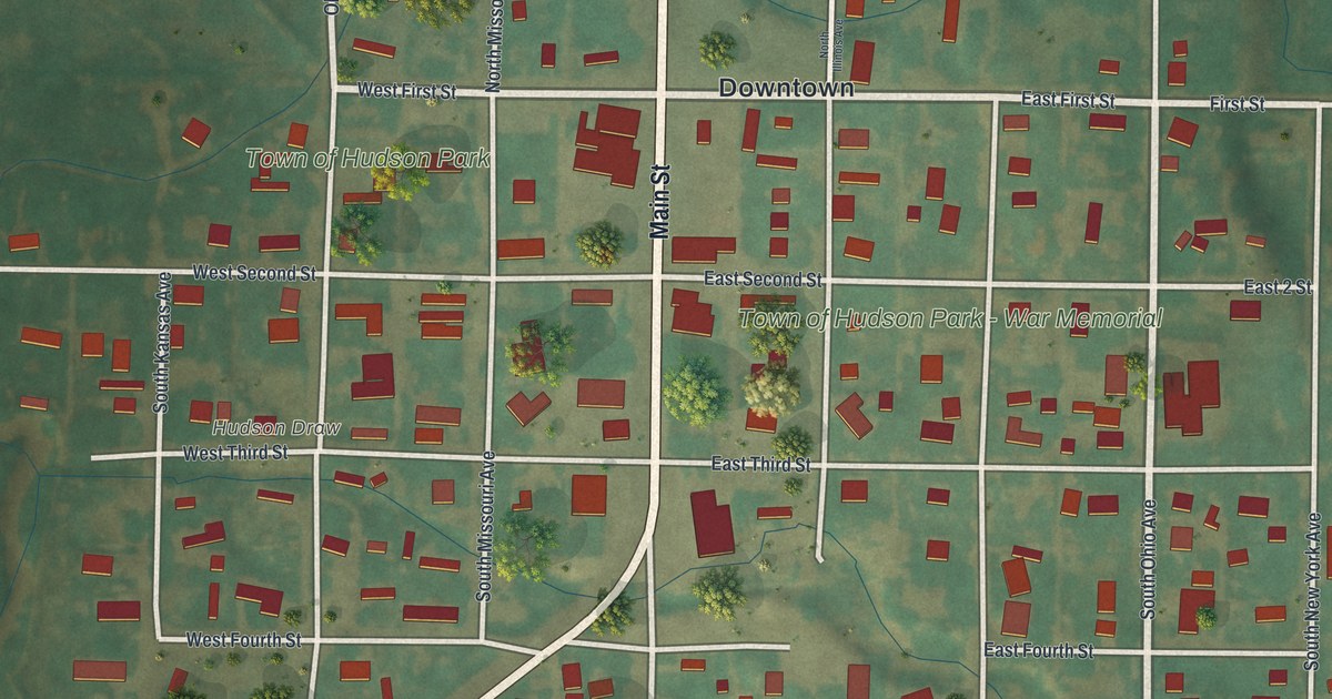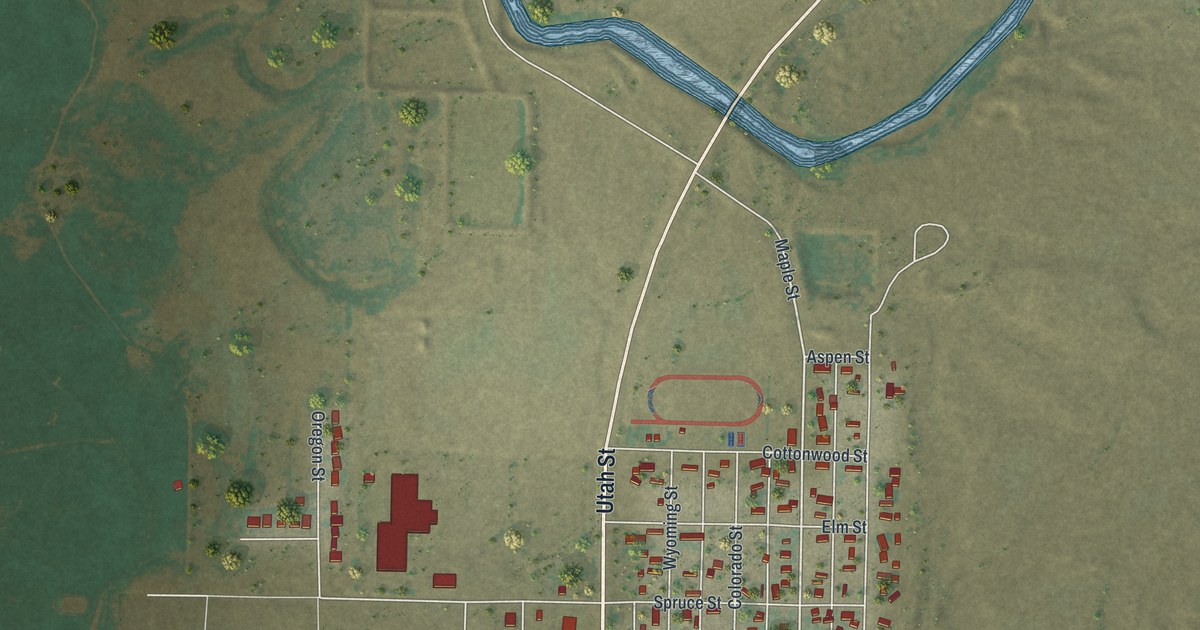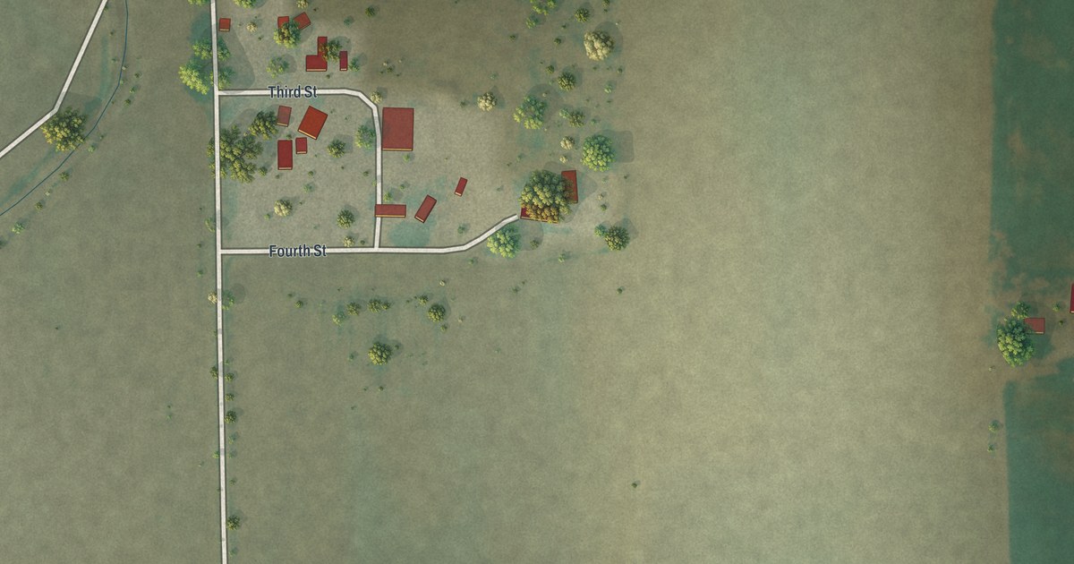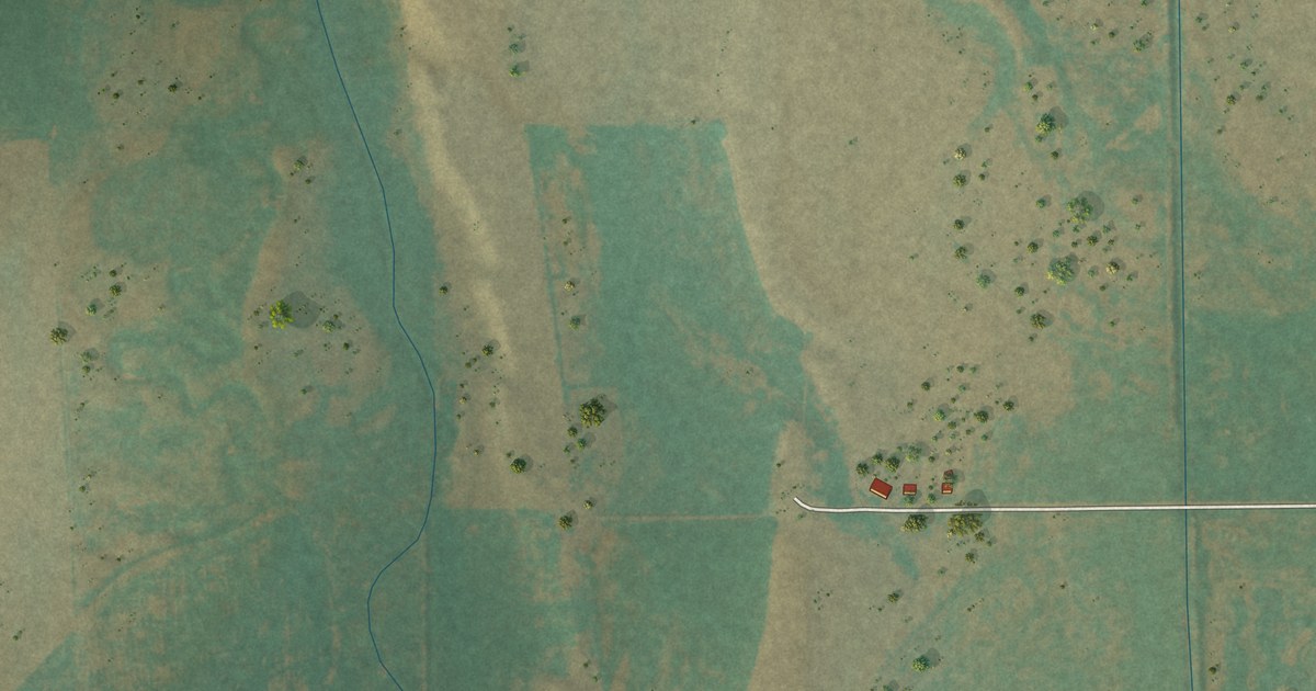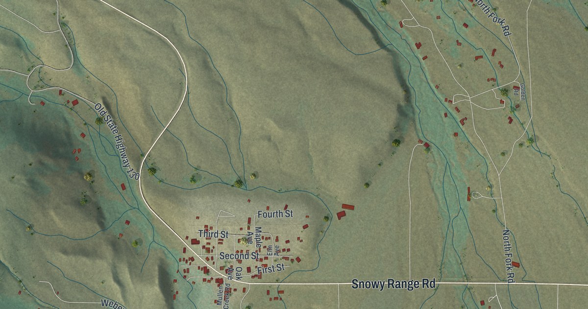
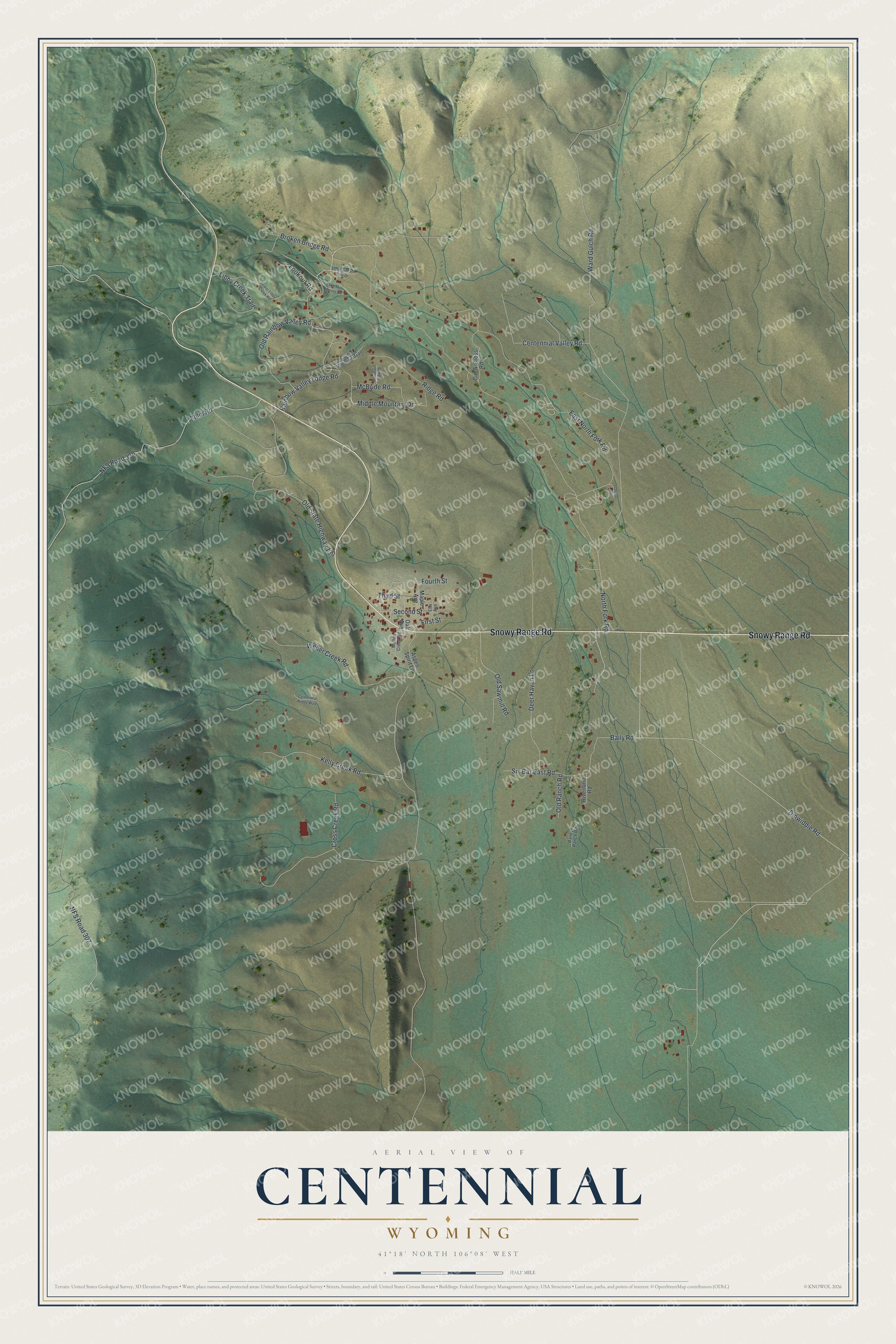
This beautifully detailed map of Centennial, Wyoming was created in 2026 using aerial imagery combined with modern topographical, census, street and landmark data. It's a modern aerial view of Centennial in Albany County, Wyoming, that combines modern data with a vintage aesthetic. The roads feature printed names, and if you look closely you can find your exact house accurately shown in its correct location.
Explore an aerial view of Centennial, Wyoming
On this map you'll find Snowy Range Road, Rainbow Valley Lodge Road, North Fork Road, East North Fork Road, Centennial Valley Road, Dinwiddie Road, NFS Road 307, Ehlin Road, NFS Road 338, Ward Gulch Road, Kelly Creek Road, Old State Highway 130, and more. Each red shape is a building, so zoom in on the preview and look for yours.
Centennial has a story worth telling. Centennial took its name from the Centennial Mine, a rich vein of gold in the Medicine Bow Mountains named in honor of the nation's 1876 centennial. Within a few years the gold was gone, but instead of becoming a ghost town the community clung to life on ranching, timber and coal. When a Boston financier later built a railroad to town, locals nicknamed his slow-building line the Lord, Help Push and Pull Railroad. It took six years to lay the 40 miles of track from Laramie to Centennial. That's from the National Register of Historic Places.
Centennial is a community in Albany County. The Census Bureau counted 283 people here in 2020.
Take a closer look at the Centennial map
Names on this map
These names are printed on this map.
Streets and roads: Snowy Range Road, Rainbow Valley Lodge Road, North Fork Road, East North Fork Road, Centennial Valley Road, Dinwiddie Road, NFS Road 307, Ehlin Road, NFS Road 338, Ward Gulch Road, Kelly Creek Road, Old State Highway 130.
More street names, A to Z
Aspen Spirit Lane, Bailey Ranch Road, Baily Road, Broken Bridge Road, Centennial Ridge Way, Corner Mountain Trail, Cross Creek Road, Cut-A-Cross Road, Deer Haven Lane, Elm Avenue, First Street, Fourth Street, Golden Road, Lake Mini Harold Road, Libby Creek Trail, Lookout Road, Lower Libby Creek Road, Maple Avenue, McBride Road, Middle Mountain Drive, Mountain View Drive, Mullen Creek Road, Oak Avenue, Old Rainbow Valley Road, Old Ranch Road, Old Sawmill Road, Ridge Road, Riverland Road, Second Street, Six Bar East Road, South Stream Side Drive, Third Street, Weber Creek Road.
See it on a wall
The Centennial map as a framed print. Swipe for more.


Created by KNOWOL in 2026. The buildings are small red shapes, the roads carry their printed names, and shaded relief shows the shape of the land. The title panel reads "AERIAL VIEW OF CENTENNIAL, WYOMING" with 41°18' NORTH 106°08' WEST.
It looks right in a kitchen, an office or a den, and it's a gift for anyone who grew up in Centennial or moved away. Open the preview and find your street. See sizes and frames for the Centennial map.