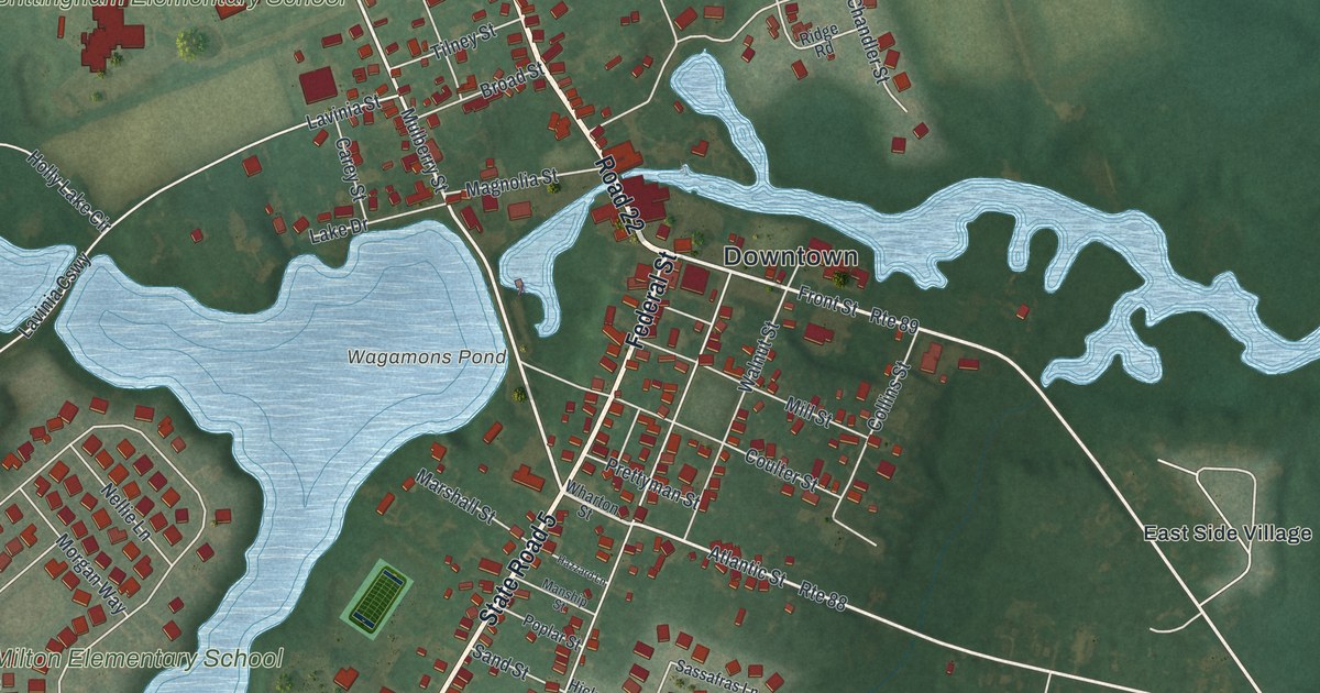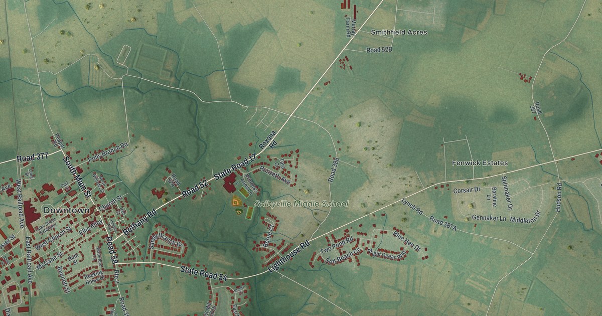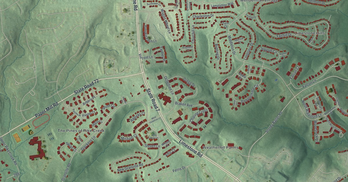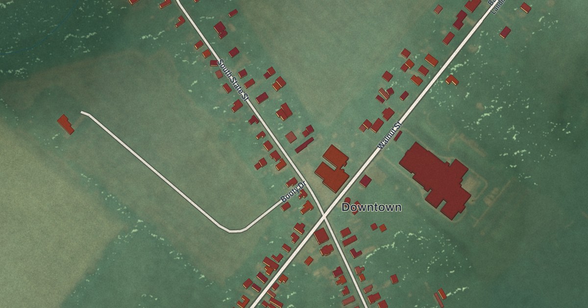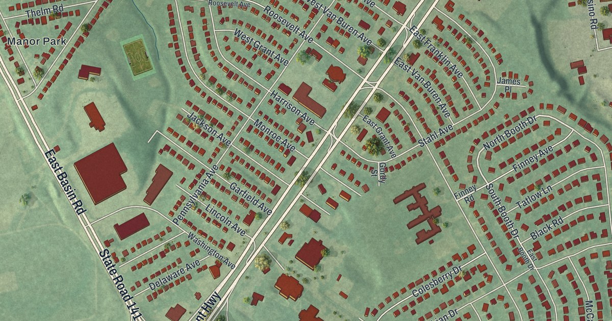
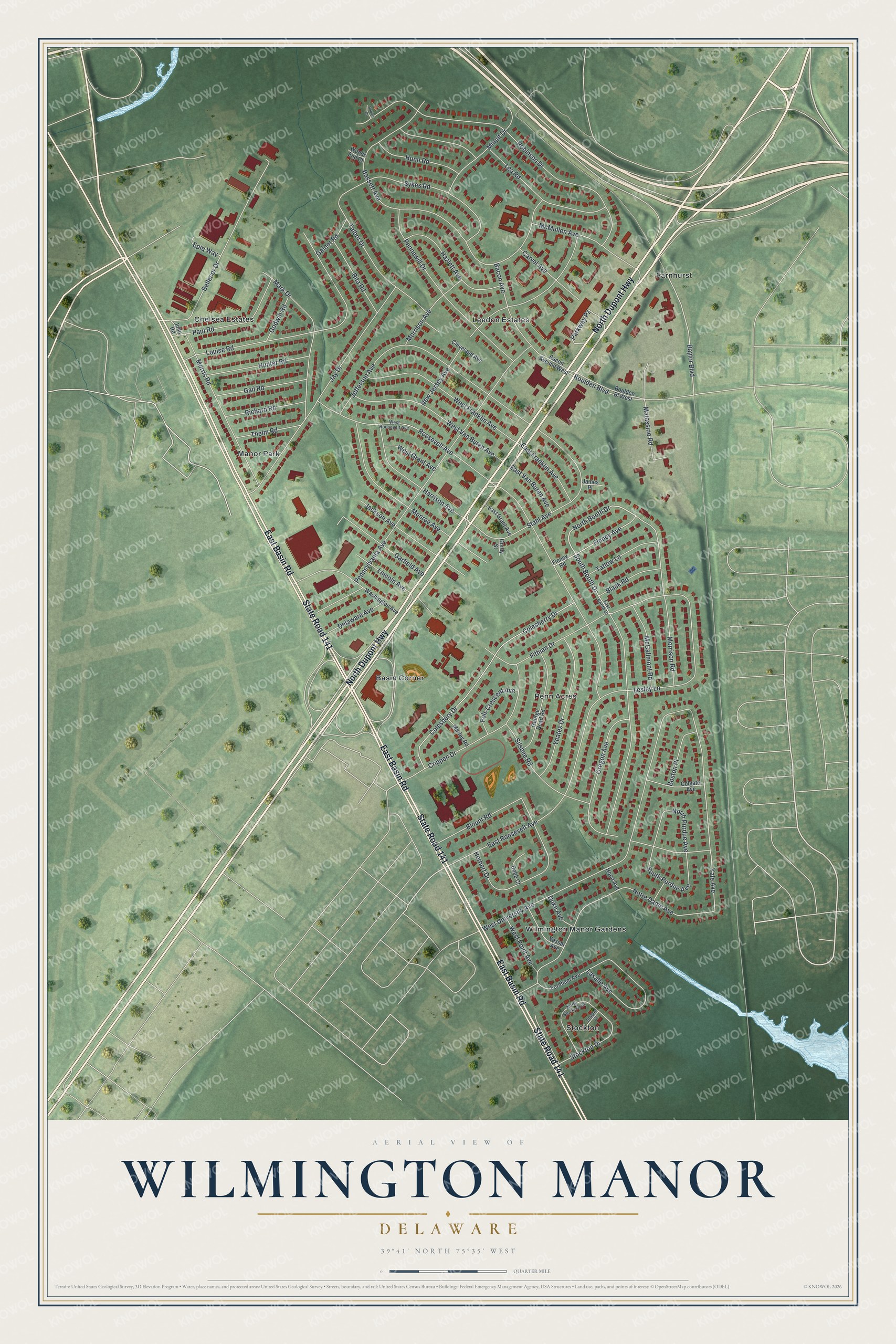
This beautifully detailed map of Wilmington Manor, Delaware was created in 2026 using aerial imagery combined with modern topographical, census, street and landmark data. It's a modern aerial view of Wilmington Manor in New Castle County, Delaware, that combines modern data with a vintage aesthetic. The roads feature printed names, and if you look closely you can find your exact house accurately shown in its correct location.
Explore an aerial view of Wilmington Manor, Delaware
On this map you'll find Basin Corner, Chelsea Estates, Farnhurst, Leedon Estates, Manor Park, Penn Acres, Stockton, Wilmington Manor Gardens, North Dupont Highway, East Basin Road, State Road 141, North Booth Drive, and more. Each red shape is a building, so zoom in on the preview and look for yours.
Every town has a first chapter, and Wilmington Manor is no exception. The National Park Service puts it this way: "Due to little alteration since it was constructed in 1954, Parker’s Dairy Palace retains a high degree of historic integrity including setting, location, workmanship, materials, design, association, and feeling."
Wilmington Manor is a community in New Castle County. The Census Bureau counted 8,162 people here in 2020.
Take a closer look at the Wilmington Manor map
Names on this map
These names are printed on this map.
Places: Basin Corner, Chelsea Estates, Farnhurst, Leedon Estates, Manor Park, Penn Acres, Stockton and Wilmington Manor Gardens.
Streets and roads: North Dupont Highway, East Basin Road, State Road 141, North Booth Drive, Baylor Boulevard, Yale Avenue, East Roosevelt Avenue, Bassett Avenue, Pennsylvania Avenue, Robinson Drive, West University Avenue, South Booth Drive.
More street names, A to Z
Bacon Avenue, Bacon Avenue West, Bellecor Drive, Black Road, Blount Road, Boston Place, Boulden Bl West, Boulden Boulevard, Carvel Avenue, Cleveland Avenue, Colesberry Drive, Colesbery Drive, Colgate Avenue, Crippen Drive, Delaware Avenue, Dobb Court, Duke Avenue, East Booth Drive, East Franklin Avenue, East Grant Avenue, East Van Buren Avenue, Epiq Way, Finney Avenue, Finney Road, Fithian Drive, Fols Crescent Avenue, Fordham Avenue, Gail Road, Gainor Road, Garfield Avenue, George Read Road, Godwin Road, Gordy Street, Harrison Avenue, Hazlett Avenue, Herbert Drive, Hood Avenue, Hunn Road, Hunter Road, Jackson Avenue, James Place, Jay Drive, Jefferson Avenue, John Road, Lasalle Avenue, Lea Road, Lesley Lane, Lincoln Avenue, Louise Road, Mark Drive, Marley Road, Matassino Road, McCallmont Road, McMullen Avenue, Minuit Drive, Monroe Avenue, Morrison Avenue, Morrison Road, Morris Road, New Jersey Avenue, North Purdue Avenue, North Stockton Drive, Notre Dame Avenue, Oregon Avenue, Parkway Pz, Paul Road, Pennewill Drive, Richard Road, Rita Road, Robins Court, Roosevelt Avenue, Silsbee Road, South Purdue Avenue, Stabler Court, Stahl Avenue, Stockton Drive, Sykes Road, Talbot Drive, Tatlow Lane, Thelm Road, Vassar Avenue, Washington Avenue, West Franklin Avenue, West Grant Avenue, West Point Avenue, West Roosevelt Avenue, West Van Buren Avenue, Woods End Court, Yeates Drive.
Created by KNOWOL in 2026. The buildings are small red shapes, the roads carry their printed names, and shaded relief shows the shape of the land. The title panel reads "AERIAL VIEW OF WILMINGTON MANOR DELAWARE" with 3, 9, °, 4, 1, ', , N, O, R, T, H, , 7, 5, °, 3, 5, ', , W, E, S, T.
Hang it in the hallway, the office or the cabin, or give it to someone who left Wilmington Manor and still calls it home. Open the preview and look for a street you know. See sizes and frames for the Wilmington Manor map.