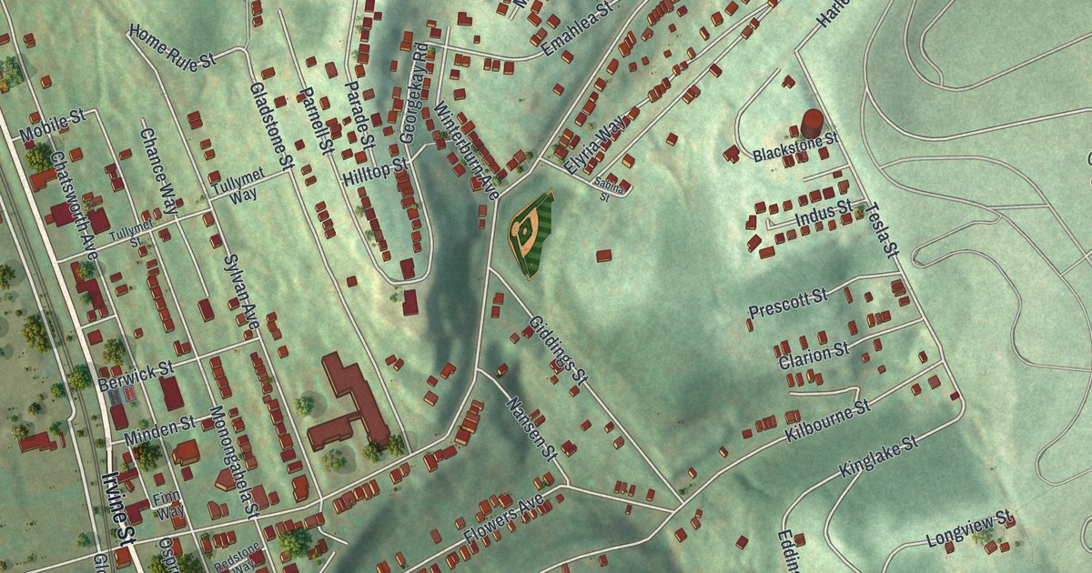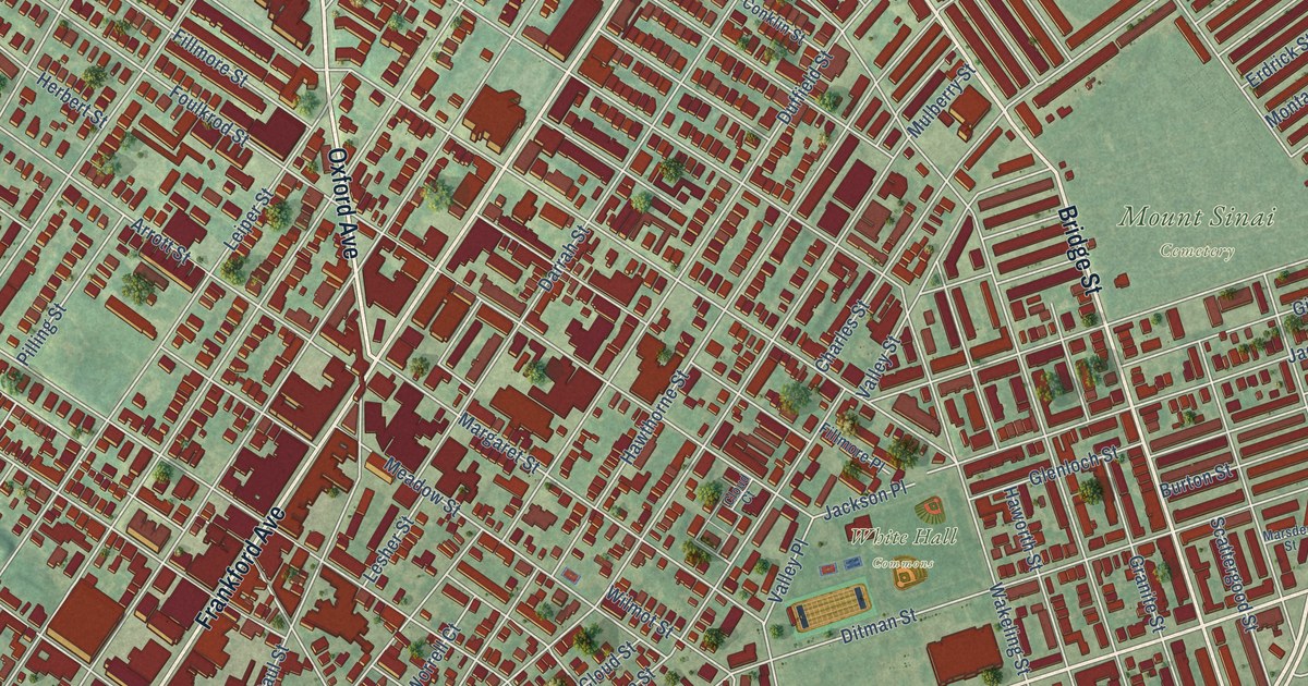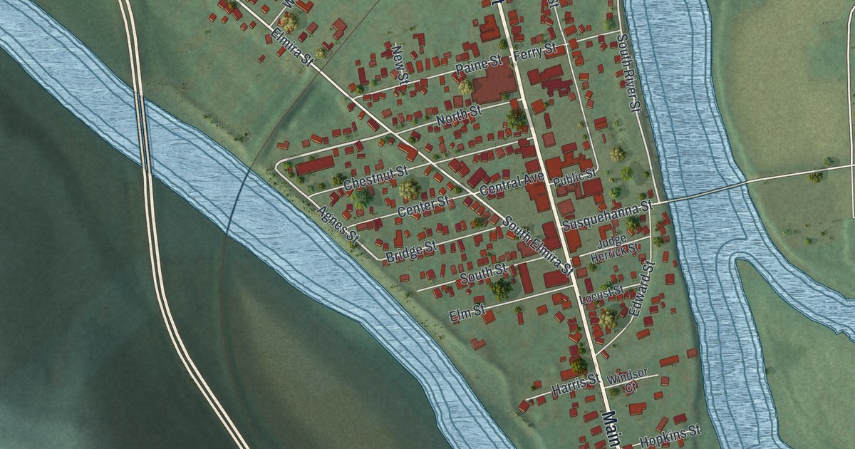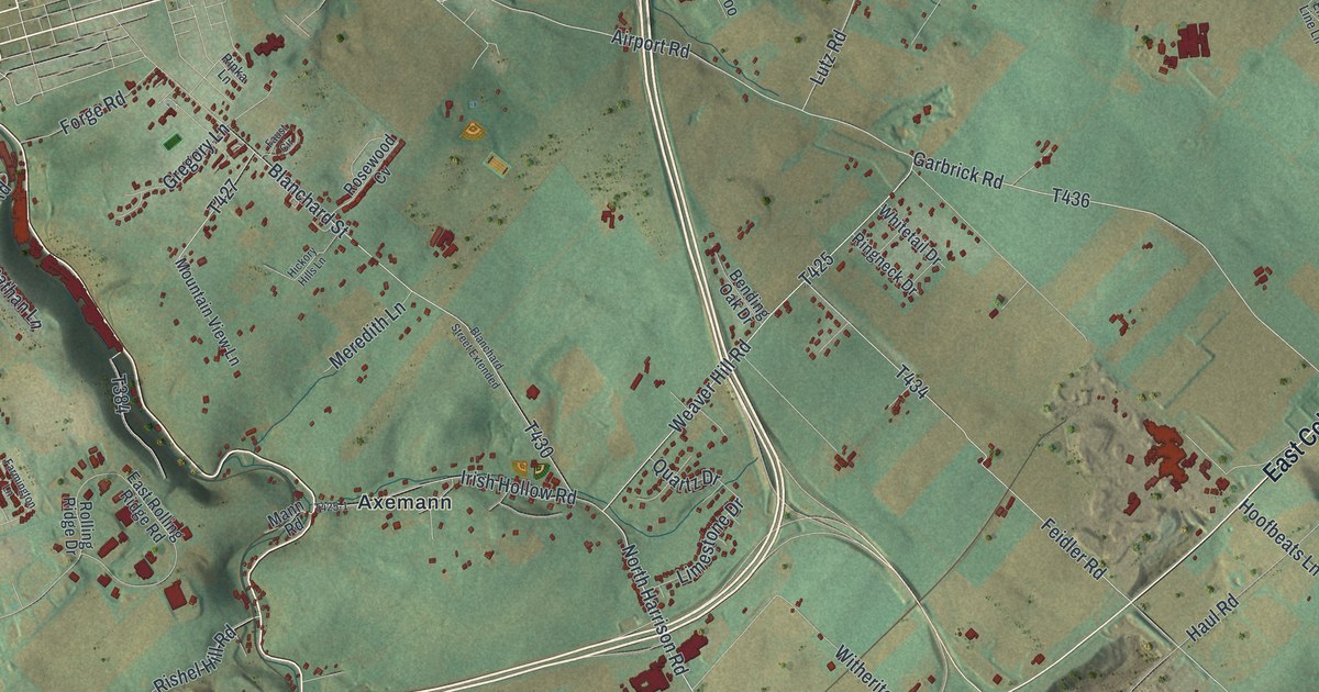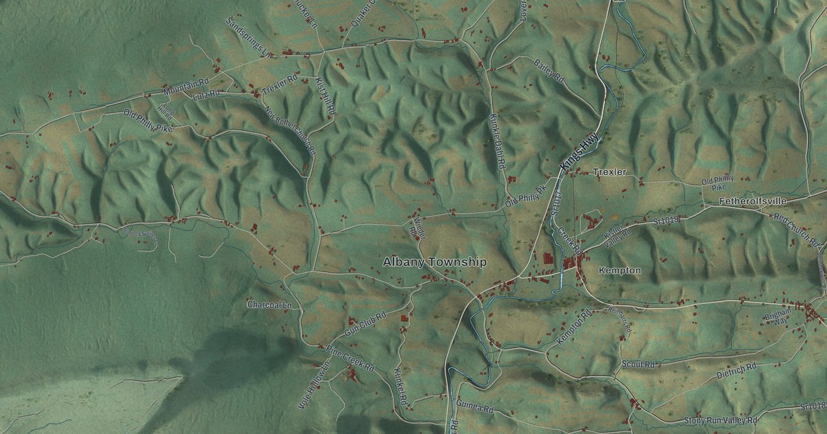
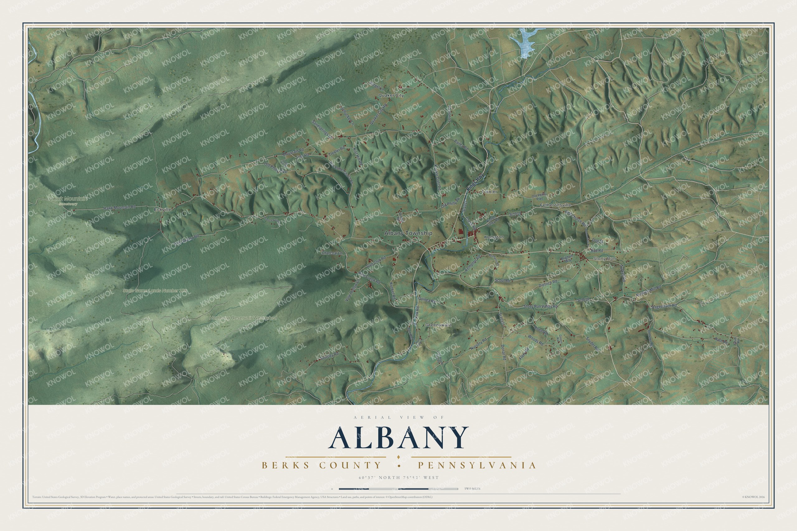
This beautifully detailed map of Albany, Berks County, Pennsylvania was created in 2026 using aerial imagery combined with modern topographical, census, street and landmark data. It’s a one-of-a-kind view of Albany that combines accurate data with a vintage aesthetic. The map shows every building in its true location, many of the roads carry their names, and the shaded topographic relief shows the shape of the land.
Explore an aerial view of Albany, Berks County, Pennsylvania
On the map you’ll find Albany Township, Stony Run, Hamburg Reservoir Watershed, Hawk Mountain Sanctuary, State Game Lands Number 106, Eckville, Fetherolfsville, Greenawald, Kempton, Quaker City, and Trexler, along with Kings Highway, and more. If you look closely you can even find your house accurately drawn in its correct location. Zoom in on the preview to look for yours.
Did you know this piece of Albany, Berks County, Pennsylvania history?
Hawk Mountain Sanctuary lies partly in Albany Township. Hunters once shot hawks on the ridge for sport. Rosalie Edge stepped in during 1934. She leased 1,400 acres and paid wardens to turn the gunners back, and the birds soon began to recover. Today its yearly hawk counts form the longest record of raptor numbers anywhere.
Take a closer look at the Albany, Berks County map
Street and place names on the Albany, Berks County, Pennsylvania map
These names are printed on the map of Albany, Berks County, Pennsylvania.
Places: Albany Township, Stony Run, Hamburg Reservoir Watershed, Hawk Mountain Sanctuary, State Game Lands Number 106, Eckville, Fetherolfsville, Greenawald, Kempton, Quaker City and Trexler.
Streets and roads: Kings Highway, Old Philly Pike, Sr1019, Creek Road, Sr1017, Red Church Road, Old Philly Pk, Kunkels Mill Road, Hawk Mountain Road, Red Road, Mountain Road, Sr1018.
More street names, A to Z
Bailey Road, Bond Road, Brigham Way, Charcoal Lane, Coopers Way, Dietrich Road, Dog Street, Donat Road, Dotterer Road, Flory Road, Grim Road, Guinea Road, Gun Club Road, Hemlock Springs Lane, Kempton Road, Kirk Road, Kist Hill Road, Kistler Valley Road, Kunkel Road, Kunkle Dahl Road, Little Round Top Road, Long Hill Road, Lovers Lane, Lutz Road, New Bethel Church Road, Nursery Road, Old Phillly Pike, Pine Creek Road, Pine Swamp Road, Quaker City Road, Reinharts Road, Riegel Lane, Roth Road, Ruen Road, Sandsprings Lane, Schucker Lane, Scout Road, Snyder Road, Sousley Road, Sr1015, Stagecoach Road, Stony Run Valley Road, Trexler Road, Turkey Road, Vole Hollow Lane, Wessnersville Road, Wieder Road, Wood Duck Lane, Woods Road.
See the Albany, Berks County, Pennsylvania map on a wall
The Albany, Berks County map as an 18 x 24 inch print in a black frame.

This beautifully detailed map of Albany, Berks County makes an attractive addition to your office, library, or den, and it can even be used to teach children the geography and history of the area. It also makes a great gift for someone who left Albany and still calls it home. When you’re done exploring, click here to get your copy of the Albany, Berks County map.