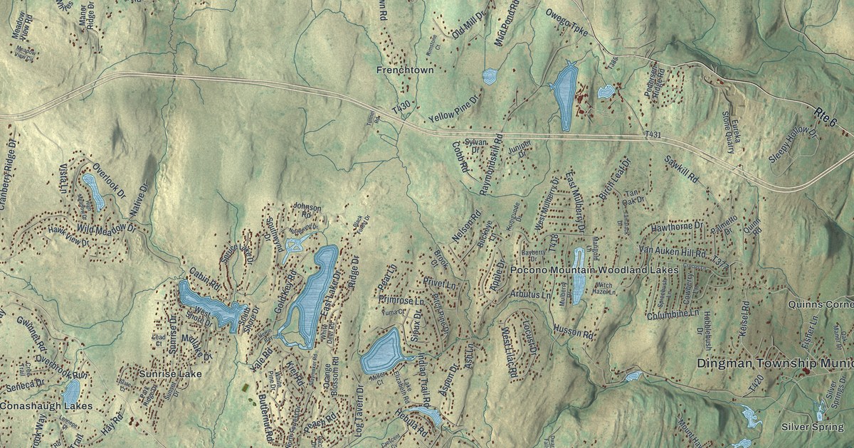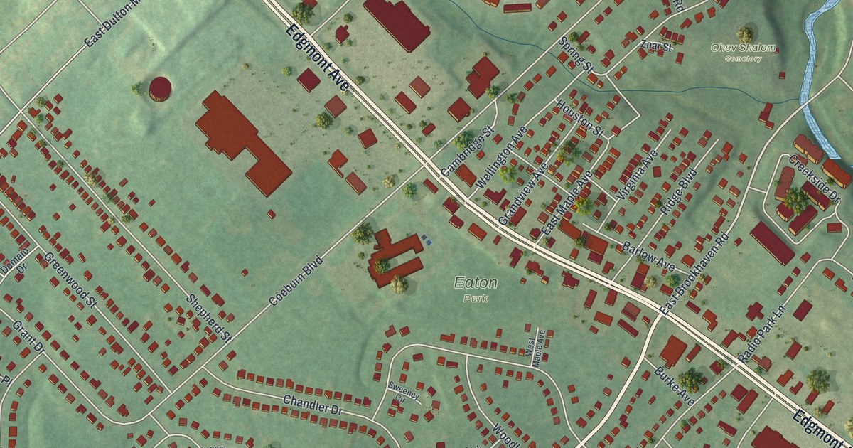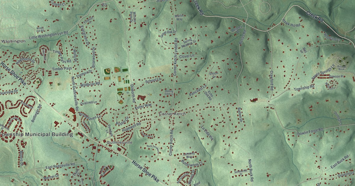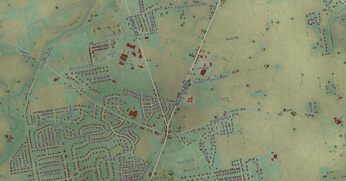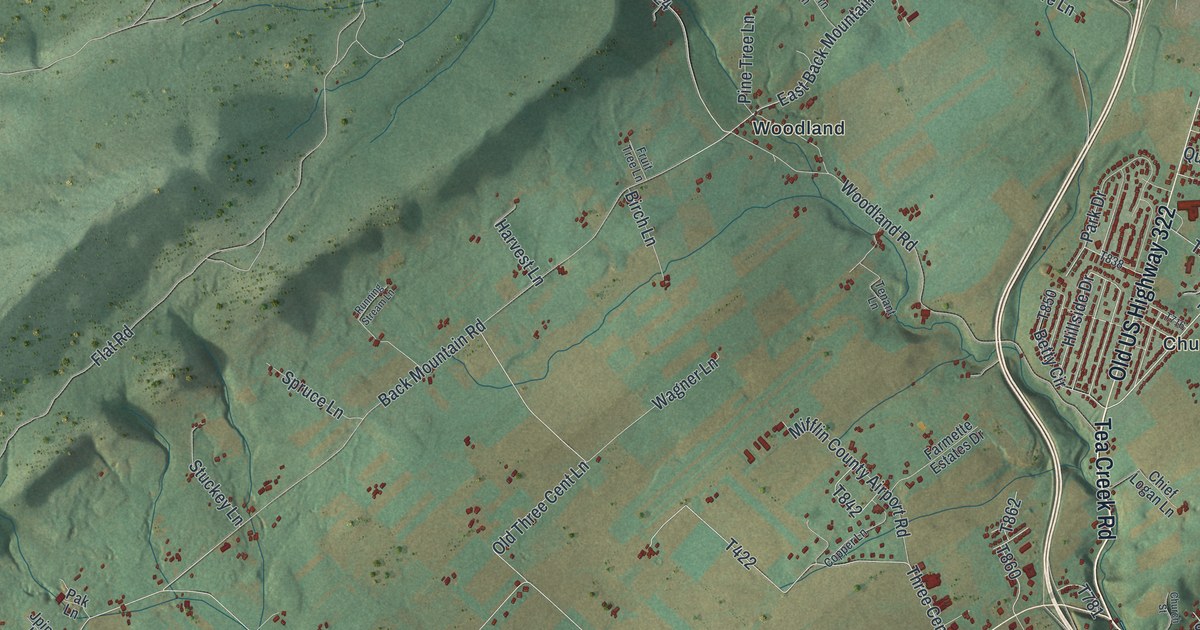
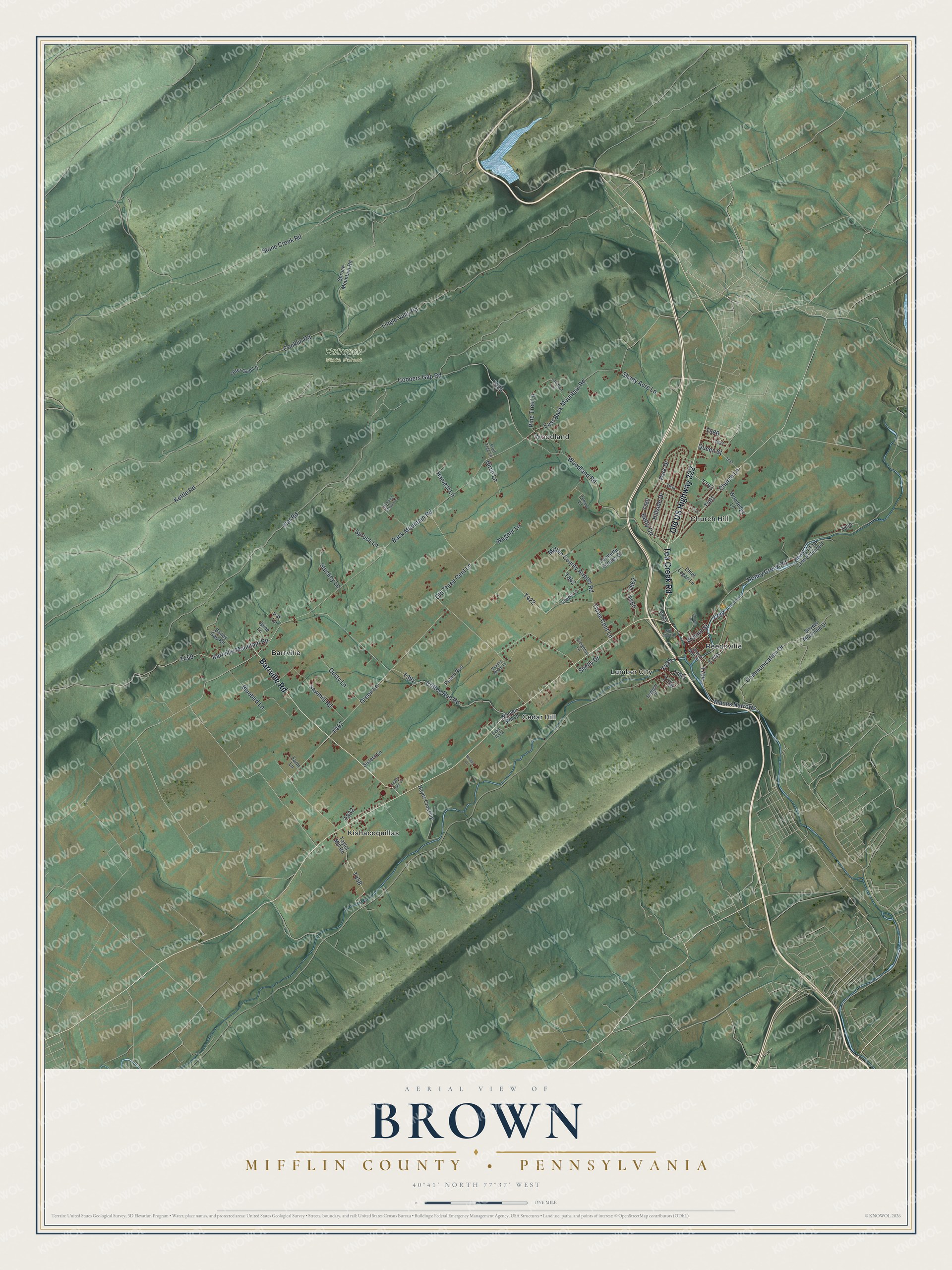
This beautifully detailed map of Brown, Mifflin County, Pennsylvania was created in 2026 using aerial imagery combined with modern topographical, census, street and landmark data. It's a modern aerial view of Brown, Mifflin County in Mifflin County, Pennsylvania, that combines modern data with a vintage aesthetic. The roads feature printed names, and if you look closely you can find your exact house accurately shown in its correct location.
Explore an aerial view of Brown, Mifflin County, Pennsylvania
On this map you'll find Rothrock State Forest, Barrville, Cedar Hill, Church Hill, Kishacoquillas, Lumber City, Reedsville, Woodland, Tea Creek Road, Old US Highway 322, Barrville Road, Church Lane, and more. Each red shape is a building, so zoom in on the preview and look for yours.
Here is a piece of Brown, Mifflin County history, in the words of the record. The PA Historical and Museum Commission puts it this way: "Logan, son of Shikellamy, and famous Mingo chief, lived in a cabin near the spring opposite. It was his home from about 1766 to 1771, when he moved to the Ohio country."
Brown, Mifflin County is a place in Mifflin County. The Census Bureau counted 4,112 people here in 2020.
Take a closer look at the Brown, Mifflin County map
Names on this map
These names are printed on this map.
Places: Rothrock State Forest, Barrville, Cedar Hill, Church Hill, Kishacoquillas, Lumber City, Reedsville and Woodland.
Streets and roads: Tea Creek Road, Old US Highway 322, Barrville Road, Church Lane, Manns Narrows, Coopers Gap Road, Betty Circle, Back Mountain Road, Green Lane, Flat Road, East Back Mountain Road, Coffee Run Road.
More street names, A to Z
Bailey Gap Road, Barrville Mountain Road, Birch Lane, Bluebird Lane, Cedar Hill Drive, Chief Logan Lane, Church Street, Communication Drive, Conklin Road, Copper Lane, Creighton Lane, Dusty Lane, Farmette Estates Drive, Farm Lane, Fruit Tree Lane, Harvest Lane, Hayes Crossing, Hillside Drive, Honey Brook Lane Extended, Honey Creek Road, Hooley Lane, Jpine Lane, Kettle Road, Lanhorn Lane, Lingle Vally Road, Meadow Woods Lane, Mifflin County Airport Road, Mill Pond Road, Old Three Cent Lane, Otter Gap Lane, Pak Lane, Park Drive, Peach Run, Peach Vale Lane, Pine Tree Lane, Queen Street, Running Stream Lane, Sawmill Road, Shady Acre Lane, Shelly Drive, Sisters Lane, Snyder Mountain Drive, South Main Street, Spruce Lane, Spruce Mountain Road, Stone Creek Road, Stuckey Lane, Sunlight Street, Taylor Mill Road, Tenant Lane, Three Cent Lane, Wagner Lane, Walnut Street, Woodedge Lane, Woodland Road, Woolen Mill Lane.
Created by KNOWOL in 2026. The buildings are small red shapes, the roads carry their printed names, and shaded relief shows the shape of the land. The title panel reads "AERIAL VIEW OF BROWN MIFFLIN COUNTY • PENNSYLVANIA" with 4, 0, °, 4, 1, ', , N, O, R, T, H, , 7, 7, °, 3, 7, ', , W, E, S, T.
It suits a den, a classroom or a front hall, and it makes a gift for anyone with Brown, Mifflin County roots. Open the preview and find the block you know. See sizes and frames for the Brown, Mifflin County map.