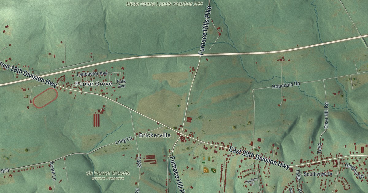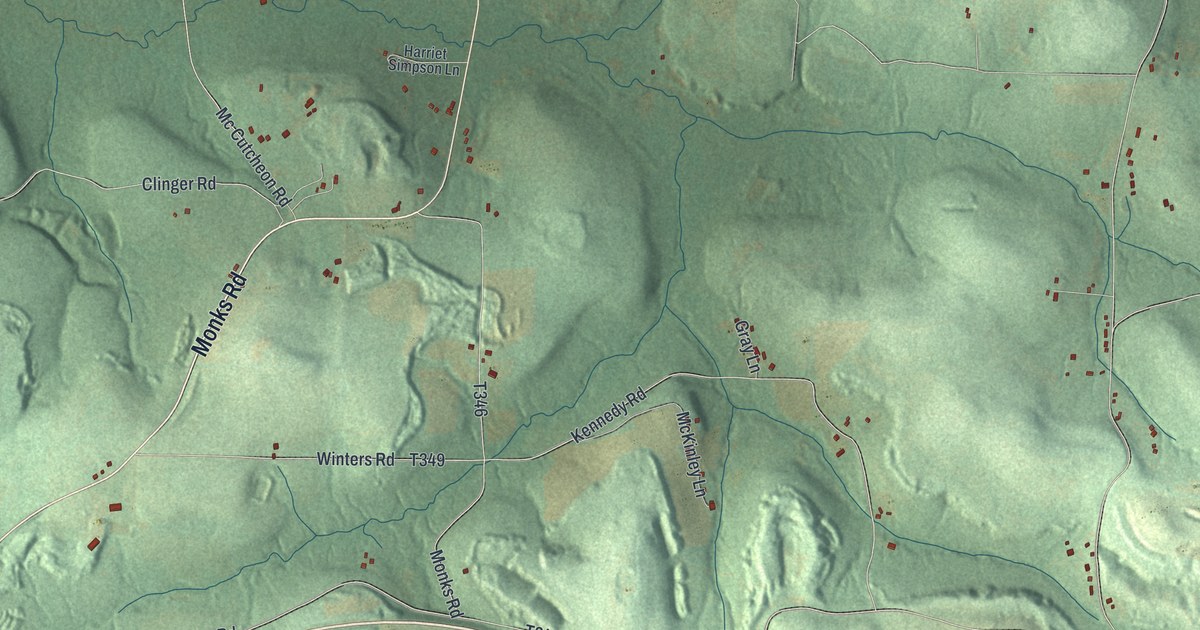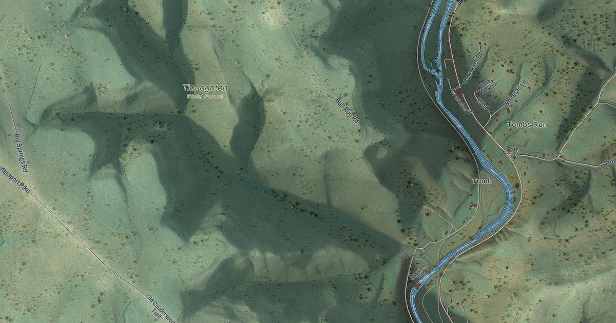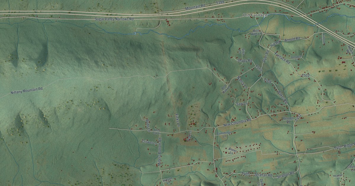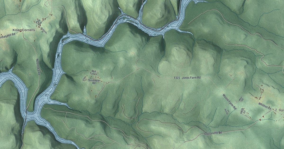
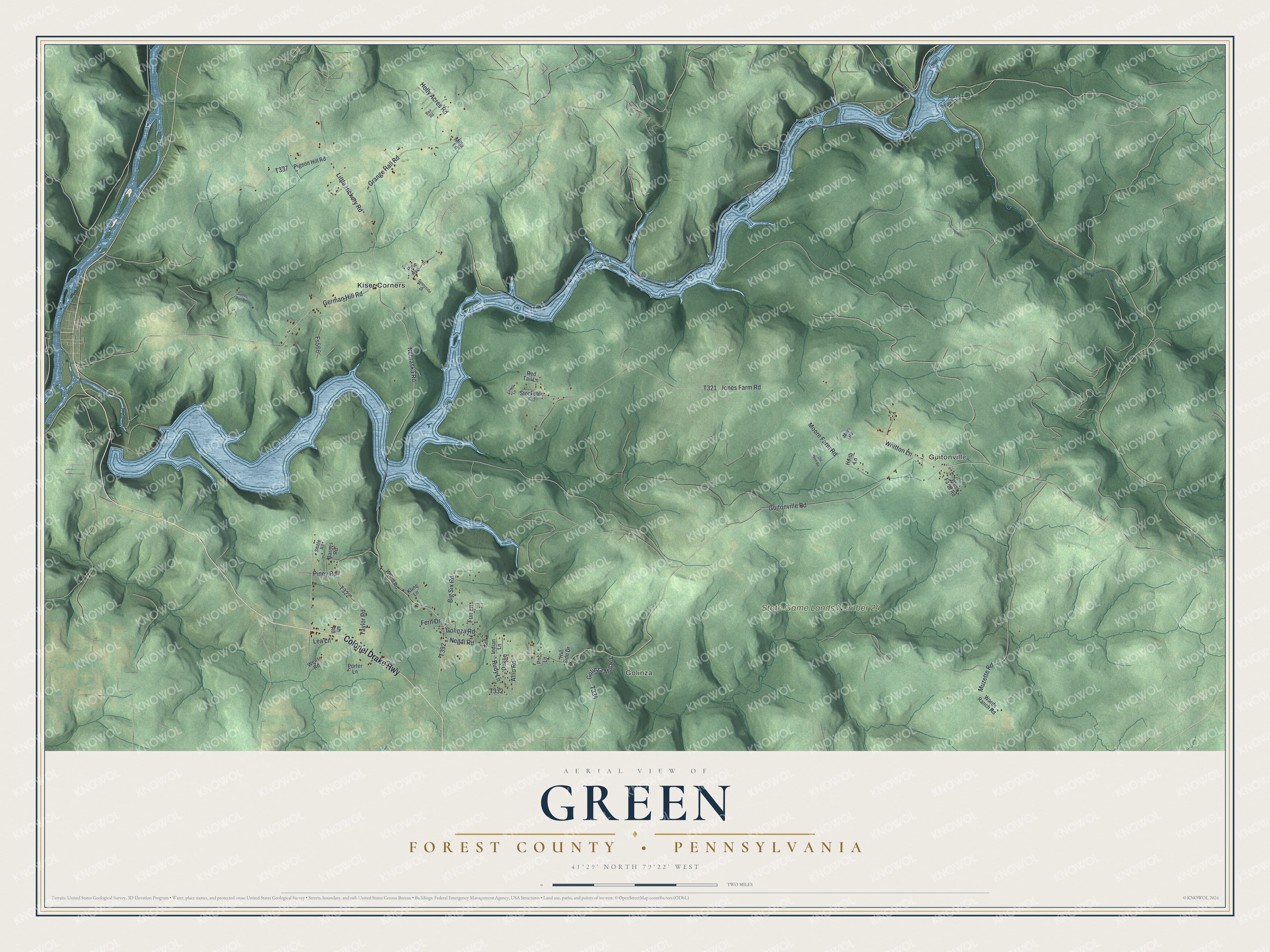
This beautifully detailed map of Green, Forest County, Pennsylvania was created in 2026 using aerial imagery combined with modern topographical, census, street and landmark data. It's a modern aerial view of Green, Forest County in Forest County, Pennsylvania, that combines modern data with a vintage aesthetic. The roads feature printed names, and if you look closely you can find your exact house accurately shown in its correct location.
Explore an aerial view of Green, Forest County, Pennsylvania
On this map you'll find Guitonville, Golinza, State Game Lands Number 24, Kiser Corners, Colonel Drake Highway, Nebraska Road, Golinza Road, Guitonville Road, Golinza Mill Road, T334, Allio Road, T392, and more. Each red shape is a building, so zoom in on the preview and look for yours.
Green, Forest County has a story worth telling. The PA Roots puts it this way: "In the fall of 1877 Heath opened a coal bed, twenty feet below his house, at an elevation of 1,720 feet. Seven years prior to this Guiton opened an 18-inch vein at Oak Woods summit, on the lumber company’s upper tract; while beyond this, on the Bond lot, another bed was worked."
Green, Forest County is a place in Forest County. The Census Bureau counted 376 people here in 2020.
Take a closer look at the Green, Forest County map
Names on this map
These names are printed on this map.
Places: Guitonville, Golinza, State Game Lands Number 24 and Kiser Corners.
Streets and roads: Colonel Drake Highway, Nebraska Road, Golinza Road, Guitonville Road, Golinza Mill Road, Allio Road, Jones Farm Road, German Hill Road, Little Hickory Road, Moore Farm Road, Grange Hall Road, Piney Road.
More street names, A to Z
Bair Road, Barnes Road, Big Six Road, Fern Drive, Fs566, Fun Lane, Heith Lane, Hill Side Drive, Holly Acres Road, Indian Lane, Kline Lane, Lane, Lea Lane, Lewis Lane, Mays Road, Mills Lane, Muzette Road, Negal Road, Oak Lane, Oil Well Road, Pigeon Hill Road, Pine Avenue, Pnc Lane, Porter Lane, Red Tail Lane, Rudy Lane, Sibble Road, Stockdale Road, Sunnyside Drive, Taylor Road, Tubbs Run Road, Wards Ranch Road, Wells Road, West Farm Road, Whitton Lane, Wood Road.
Created by KNOWOL in 2026. The buildings are small red shapes, the roads carry their printed names, and shaded relief shows the shape of the land. The title panel reads "AERIAL VIEW OF GREEN FOREST COUNTY • PENNSYLVANIA" with 4, 1, °, 2, 9, ', , N, O, R, T, H, , 7, 9, °, 2, 2, ', , W, E, S, T.
It looks right in a kitchen, an office or a den, and it's a gift for anyone who grew up in Green, Forest County or moved away. Open the preview and find your street. See sizes and frames for the Green, Forest County map.