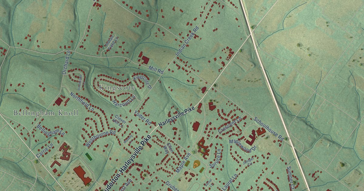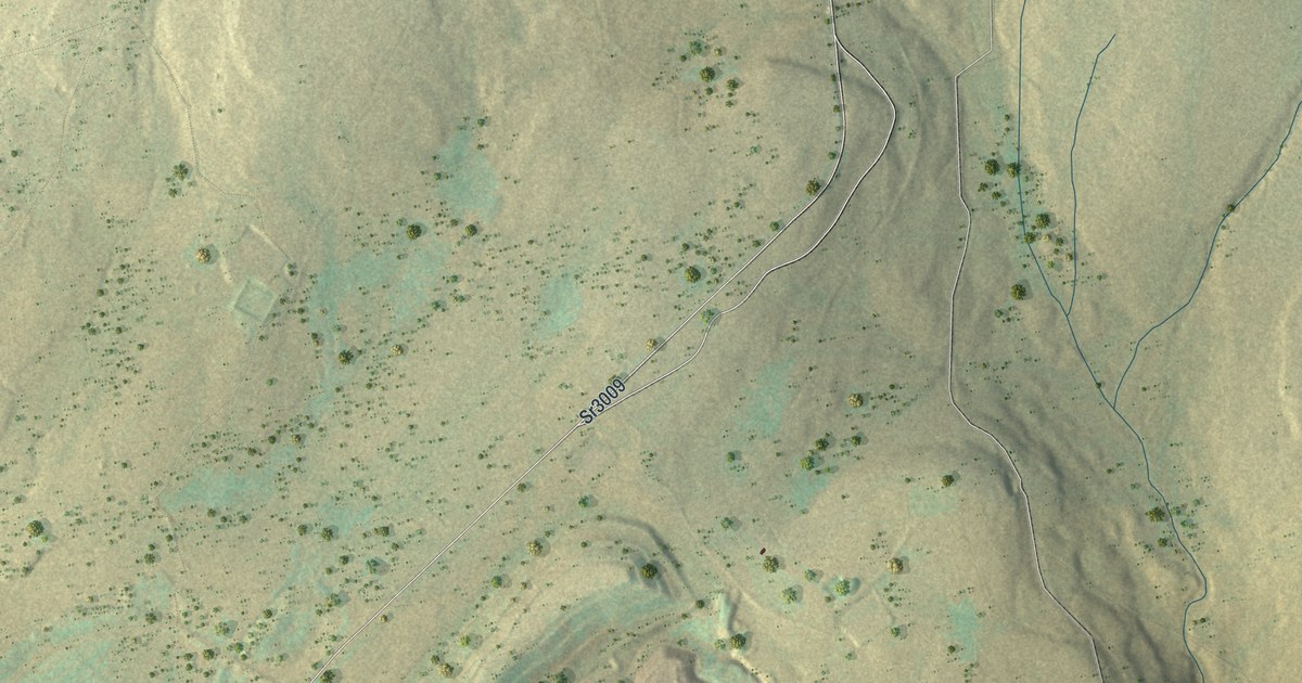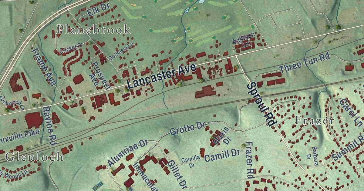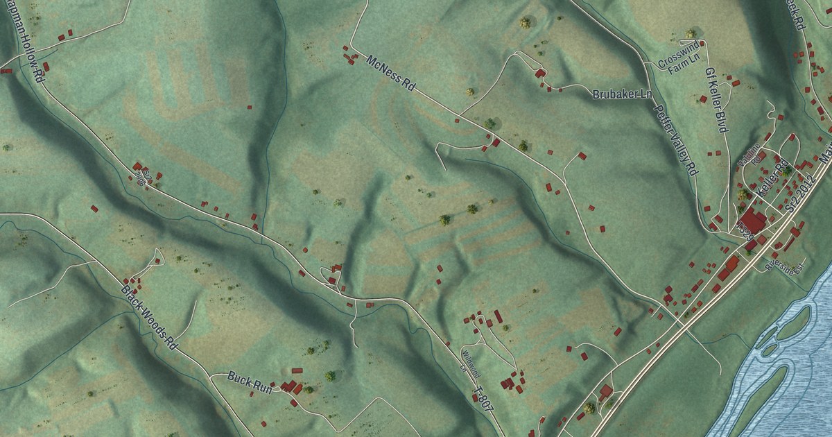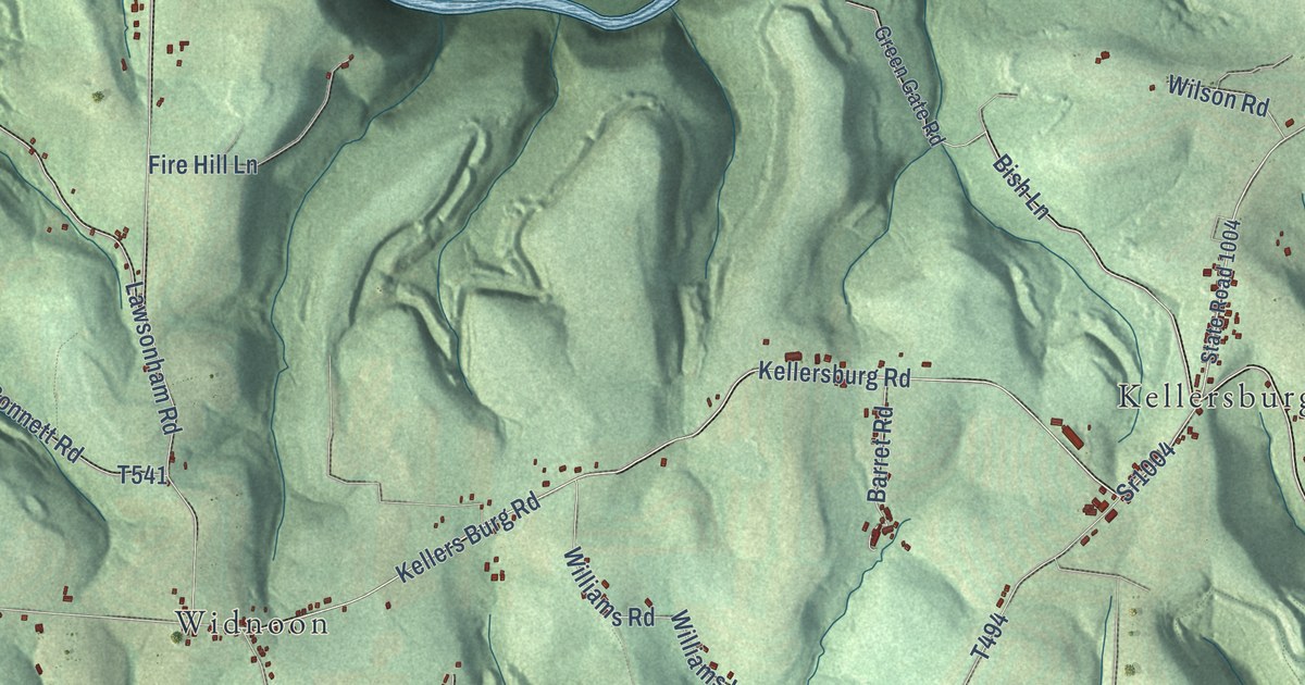
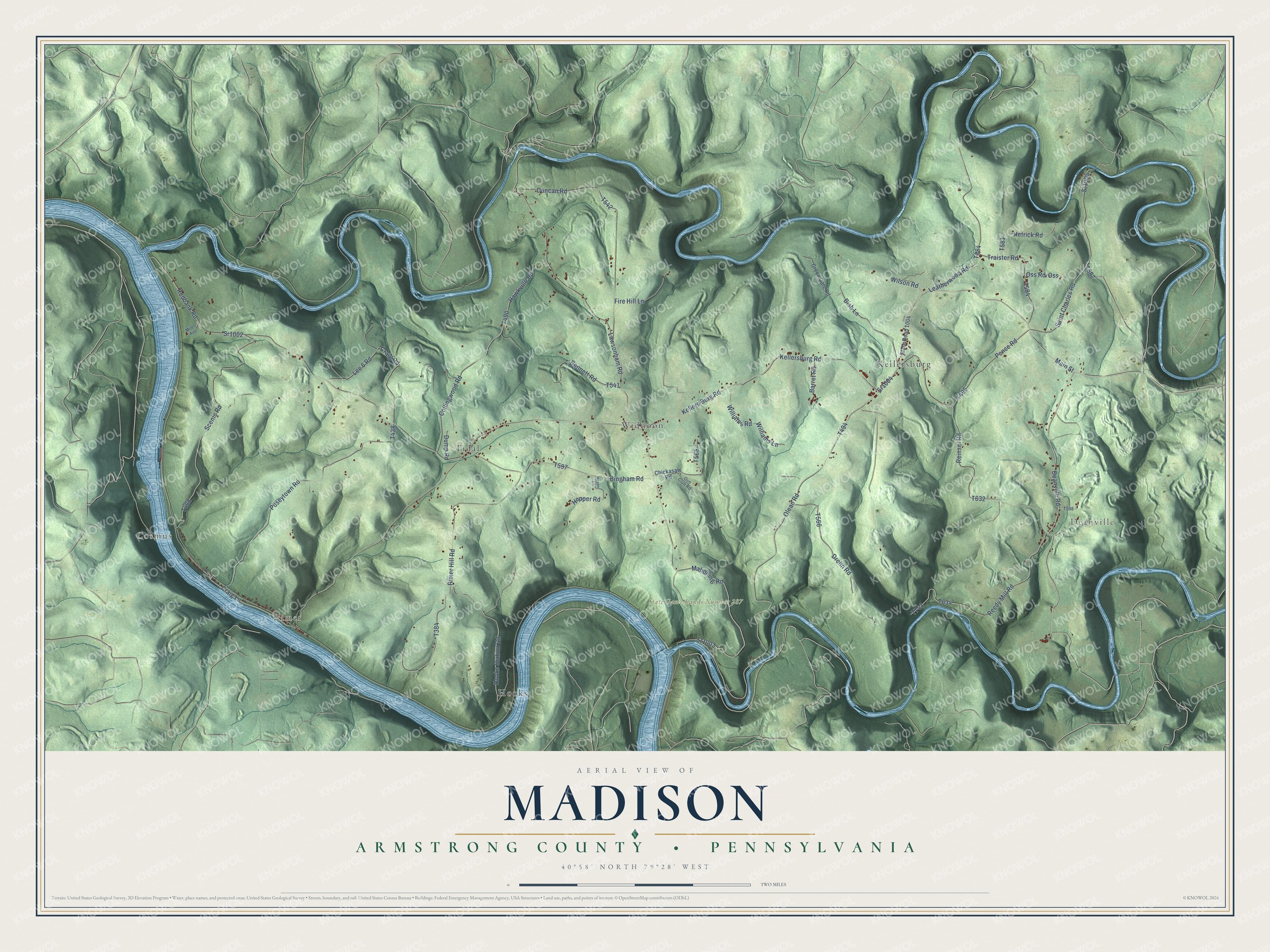
This beautifully detailed map of Madison, Armstrong County, Pennsylvania was created in 2026 using aerial imagery combined with modern topographical, census, street and landmark data. It’s a one-of-a-kind view of Madison that combines accurate data with a vintage aesthetic. The map shows every building in its true location, many of the roads carry their names, and the shaded topographic relief shows the shape of the land.
Explore an aerial view of Madison, Armstrong County, Pennsylvania
On the map you’ll find Cosmus, Deanville, Rimer, State Game Lands Number 287, Hooks, Kellersburg, Tidal, and Widnoon, along with Kellersburg Road, Main Street, State Road 1004, Deanville Road, and more. If you look closely you can even find your house accurately drawn in its correct location. Zoom in on the preview to look for yours.
Did you know this piece of Madison, Armstrong County, Pennsylvania history?
From PA Roots: "Madison township was, of course, named after James Madison, the fourth president of the United States, whose public career is familiar to the people of this township and county."
Take a closer look at the Madison, Armstrong County map
Street and place names on the Madison, Armstrong County, Pennsylvania map
These names are printed on the map of Madison, Armstrong County, Pennsylvania.
Places: Cosmus, Deanville, Rimer, State Game Lands Number 287, Widnoon, Tidal, Hooks and Kellersburg.
Streets and roads: Kellersburg Road, Main Street, Sr1004, Deanville Road, Kellers Burg Road, Craig Lane, Mahoning Road, Bish Lane, Saint Charles Road, Sr1005, Lawsonham Road, Lee 6 Road.
More street names, A to Z
Barret Road, Bingham Road, Bonnett Road, Chickasaw Road, Collingwood Road, Craig Road, Drohn Road, Dump Road, Duncan Road, Fire Hill Lane, Green Gate Road, Gun Club Road, Hawkville Road, Hetrick Road, Hooks Station Road, Hopper Lane, Hopper Road, Leatherwood Road, Miles Avenue, Olean Road, Oss, Oss Road, Pence Road, Poseytown Road, Redbank Road, Reedy Mill Road, Reinsel Road, Rimer Hill Road, Scenic Road, Sr1002, Sr1003, State Road 1004, Traister Road, Williams Lane, Williams Road, Wilson Road.
See the Madison, Armstrong County, Pennsylvania map on a wall
The Madison, Armstrong County map as an 18 x 24 inch print in a black frame.

This beautifully detailed map of Madison, Armstrong County makes an attractive addition to your office, library, or den, and it can even be used to teach children the geography and history of the area. It also makes a great gift for anyone with Madison roots. When you’re done exploring, click here to get your copy of the Madison, Armstrong County map.