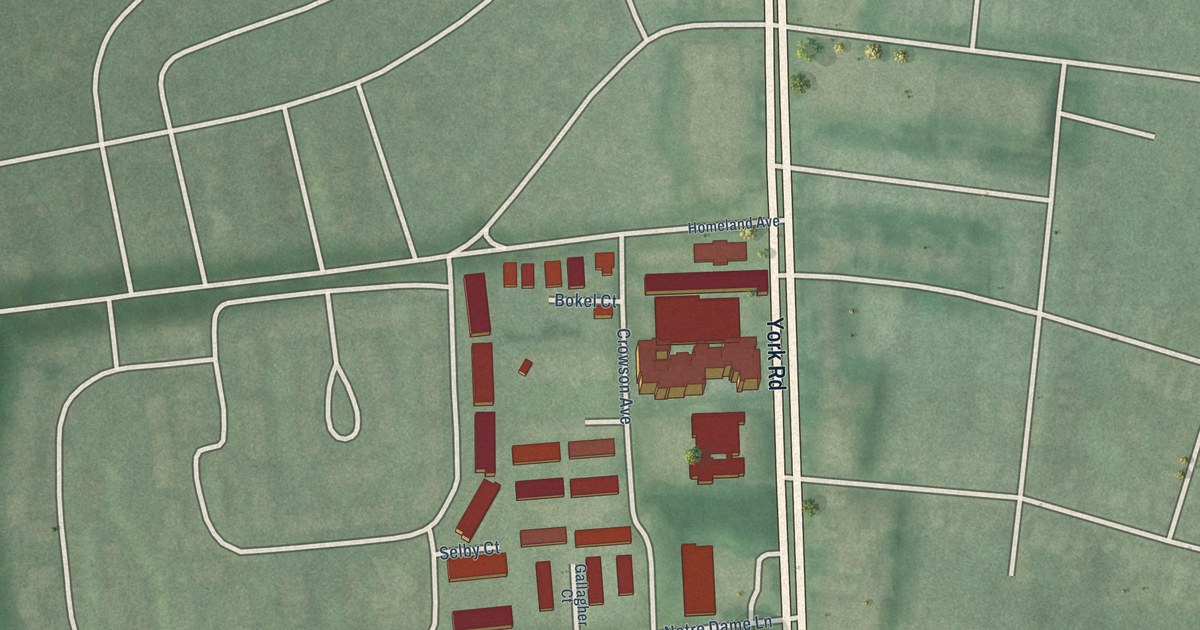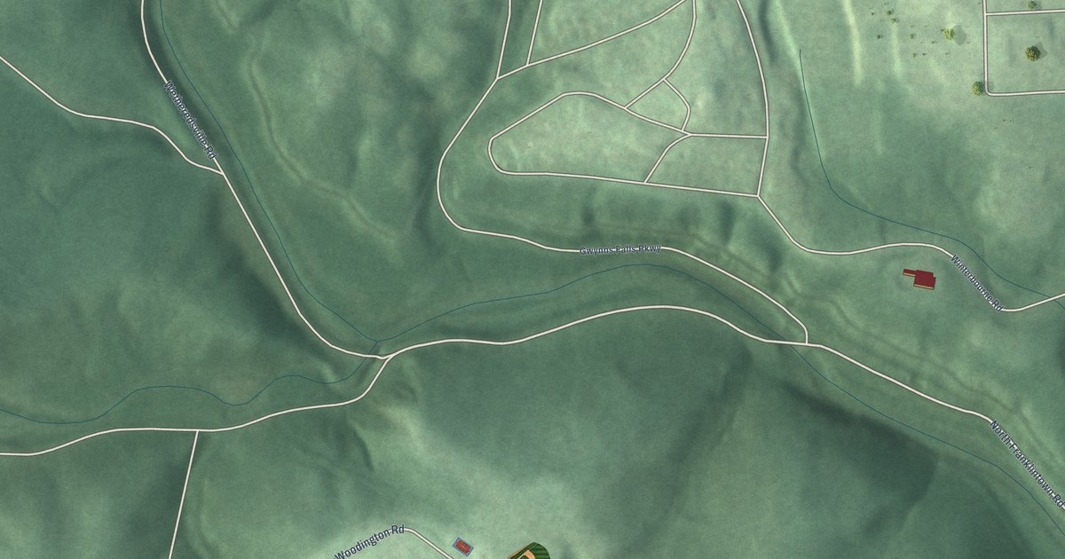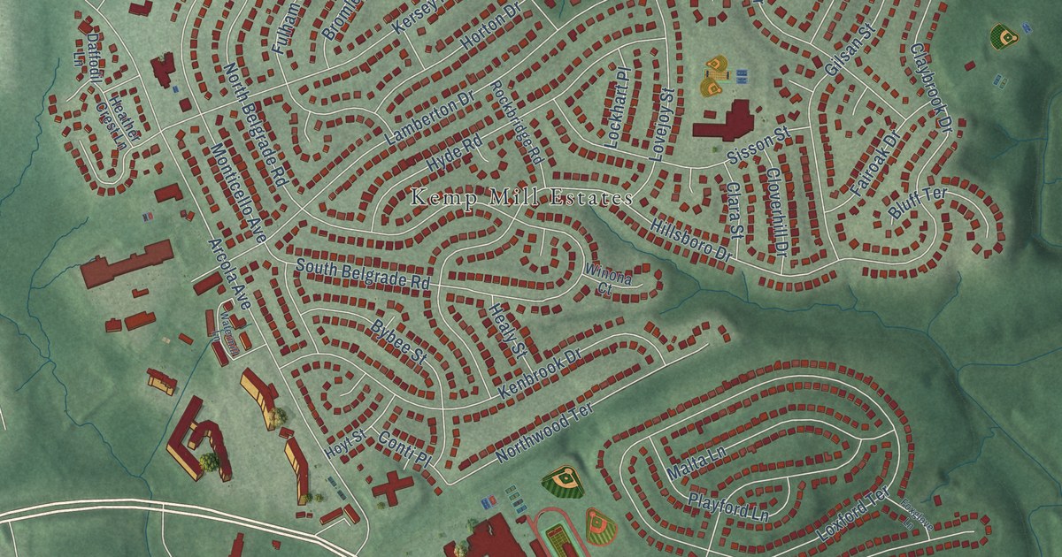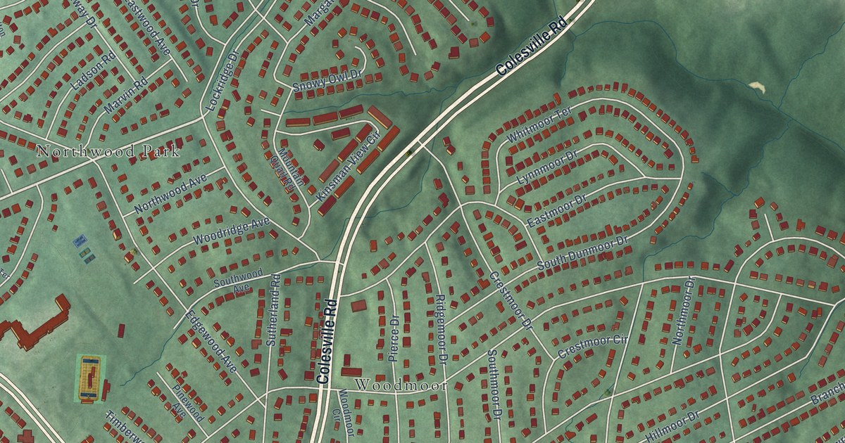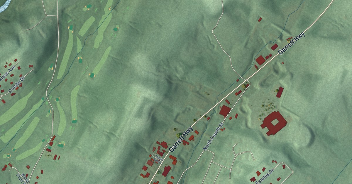
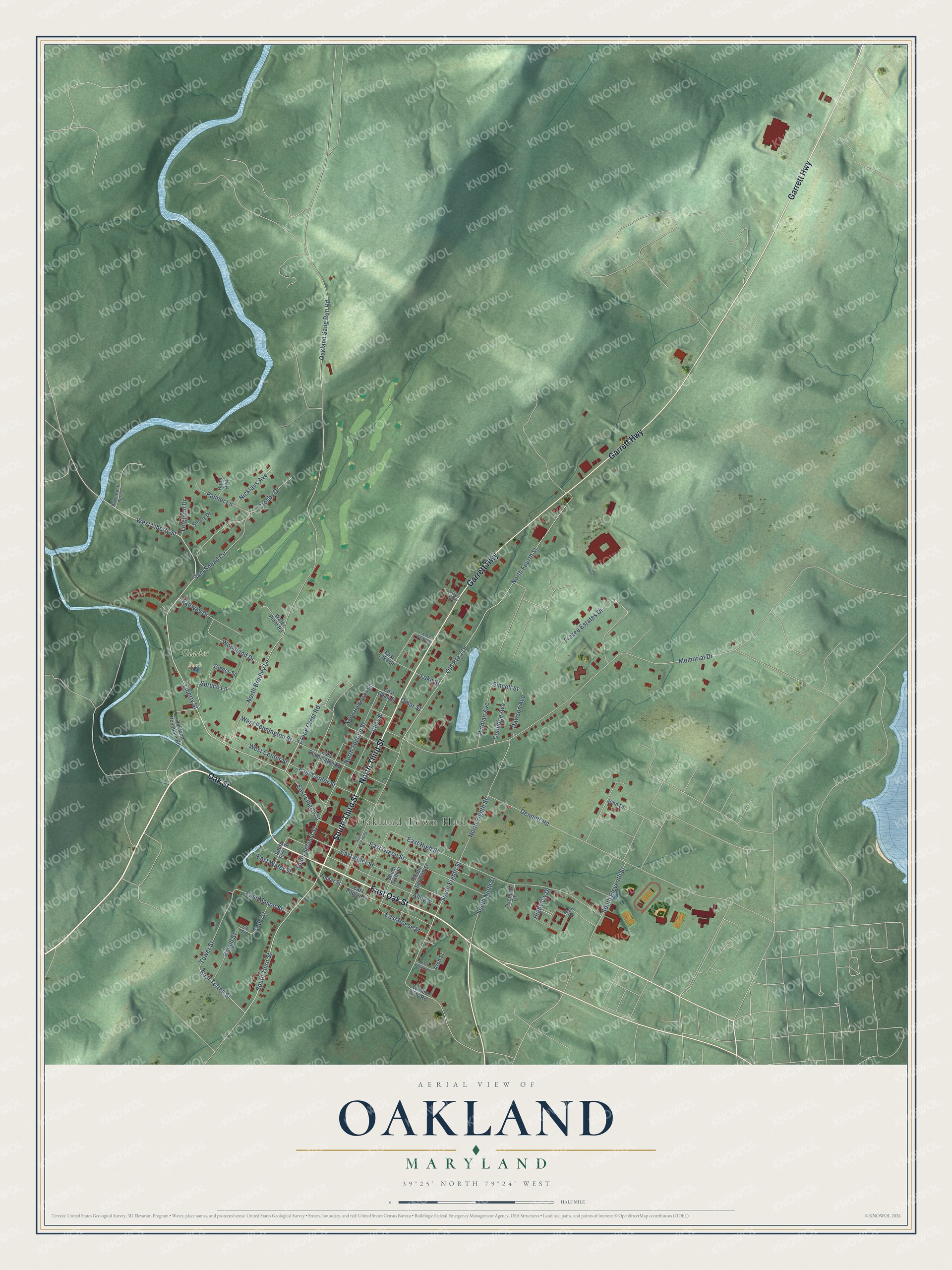
This beautifully detailed map of Oakland, Maryland was created in 2026 using aerial imagery combined with modern topographical, census, street and landmark data. It's a modern aerial view of Oakland in Garrett County, Maryland, that combines modern data with a vintage aesthetic. The roads feature printed names, and if you look closely you can find your exact house accurately shown in its correct location.
Explore an aerial view of Oakland, Maryland
On this map you'll find Oakland Town Hall, Glades Park, Oak Street, East Oak Street, South Third Street, North Third Street, Garrett Highway, Liberty Street, West Liberty Street, East Liberty Street, East Totten Street, Spruce Lane, and more. Each red shape is a building, so zoom in on the preview and look for yours.
Oakland has a story worth telling. The History of Western Maryland puts it this way: "Oakland was on the old road from Winchester, Va., to Kingwood. Among the oldest settlers in this region were Stephen Merrill, yet living, and over one hundred years old, and Isaac McCarty, John Steyer, George Loar, Henry Lower, and William White, all deceased."
Oakland is a town in Garrett County. The Census Bureau counted 1,851 people here in 2020.
Take a closer look at the Oakland map
Names on this map
These names are printed on this map.
Places: Oakland Town Hall and Glades Park.
Streets and roads: Oak Street, East Oak Street, South Third Street, North Third Street, Garrett Highway, Liberty Street, West Liberty Street, East Liberty Street, East Totten Street, Spruce Lane, South Eighth Street, Woodland Drive.
More street names, A to Z
Alley 3, Alley 8, Arch Street, Cade Street, Coolidge Avenue, Crook Crest Road, Crosby Drive, Dawson Avenue, Dennett Road, East Alder Street, East Center Street, East Green Street, East High Street, East Lake Street, East Mason Street, East Omar Street, East Orchid Street, East Pennington Street, East Poplar Street, East Reese Street, East Walnut Street, East Water Street, Elk Street, Fairway Drive, Frazee Estates Drive, Glades Square, Hamill Street, Highview Drive, Hope Avenue, John Drive, Lake Street, Leighton Drive, Lumber City Road, Memorial Drive, Nicklaus Avenue, North Bradley Lane, North Eighth Street, North Fourth Street, North Hammond Street, North Second Street, Oakland Rosedale Road, Oakland Sang Run Road, Old Route 219, Omar Street, Overlook Drive, Palmer Lane, Poplar Street, Pythian Avenue, River Rock Acres, Sam Snead Circle, Sincell Street, Sonny Drive, South Eleventh Street, South First Street, South Fourth Street, South Ninth Street, South Second Street, South Seventh Street, South Sixth Street, Thayer Center, Tower Street, Vista Square, Water Plant Road, West Center Street, West Pennington Street.
Created by KNOWOL in 2026. The buildings are small red shapes, the roads carry their printed names, and shaded relief shows the shape of the land. The title panel reads "AERIAL VIEW OF OAKLAND MARYLAND" with 39°25' NORTH 79°24' WEST.
It looks right in a kitchen, an office or a den, and it's a gift for anyone who grew up in Oakland or moved away. Open the preview and find your street. See sizes and frames for the Oakland map.