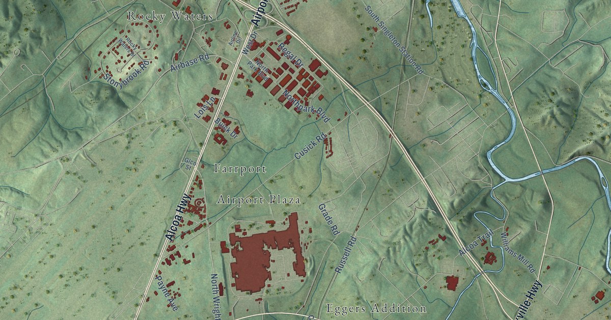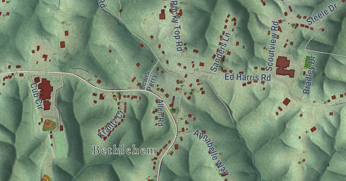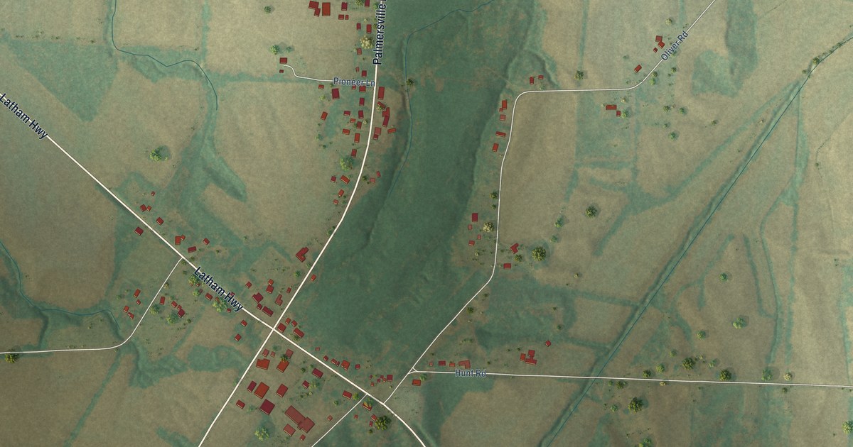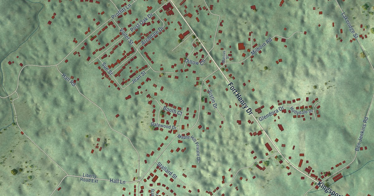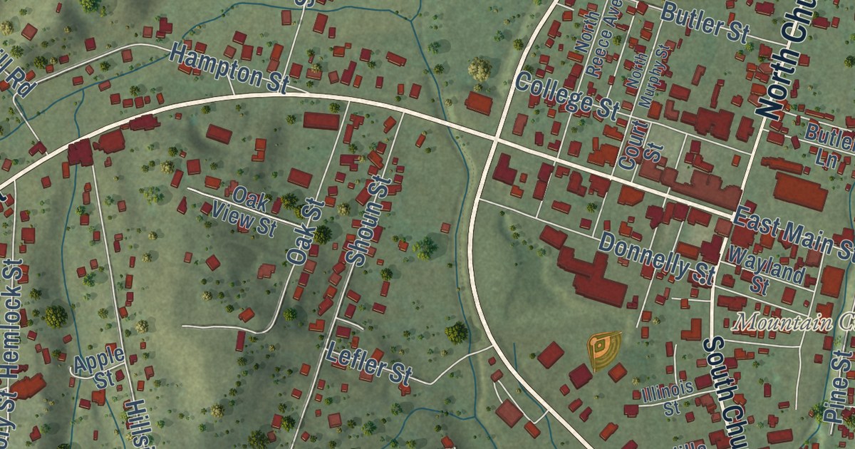
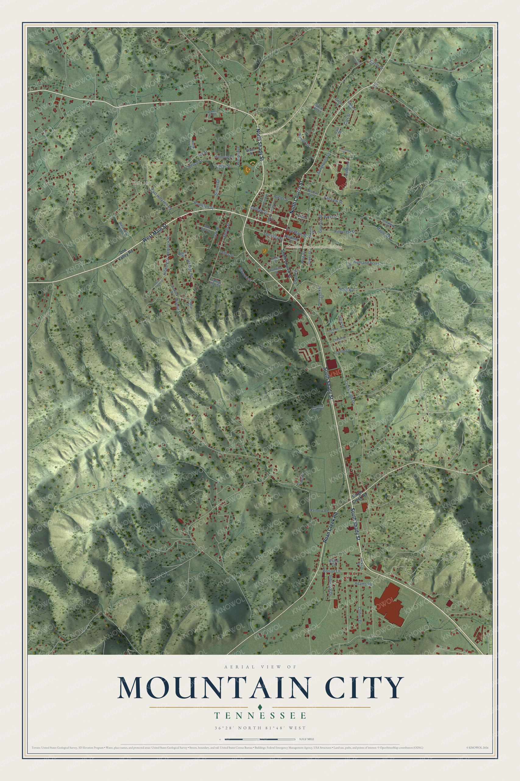
This beautifully detailed map of Mountain City, Tennessee was created in 2026 using aerial imagery combined with modern topographical, census, street and landmark data. It’s a one-of-a-kind view of Mountain City that combines accurate data with a vintage aesthetic. The map shows every building in its true location, many of the roads carry their names, and the shaded topographic relief shows the shape of the land.
Explore an aerial view of Mountain City, Tennessee
On the map you’ll find Mountain City Municipal Building, Shouns, and Holy Hill, along with West Main Street, North Shady Street, South Shady Street, North Church Street, South Church Street, Roan Creek Road, Hickory Street, Cedar Street, Ivy Street, and more. If you look closely you can even find your house accurately drawn in its correct location. Zoom in on the preview to look for yours.
Did you know this piece of Mountain City, Tennessee history?
The railroad reached Mountain City in 1910 to carry timber and manganese into neighboring states. It attracted miners and timber cutters, who established work camps along the line. That’s from the Tennessee Encyclopedia.
Take a closer look at the Mountain City map
Street and place names on the Mountain City, Tennessee map
These names are printed on the map of Mountain City, Tennessee.
Places: Mountain City Municipal Building and Holy Hill.
Streets and roads: South Shady Street, West Main Street, North Shady Street, North Church Street, Roan Creek Road, Ivy Street, Cedar Street, Hickory Street, Crossroads Drive, Circle Drive, Pinecrest Street, Highland Acres.
More street names, A to Z
Adams Road, Apple Street, Atwood Street, Baker Street, Brown Place, Browns Ridge Lane, Butler Lane, Butler Street, Carr Drive, Carr Street, Chestnut Drive, Circle Hill Lane, Circle Lane, Circle View Drive, College Street, Collins Drive, Court Street, Crestwood Drive, De la Drive, Depot Street, Doe Valley Road, Dogwood Avenue, Donnelly Street, Dotson Lane, East Holy Hill Road, East Main Street, Eller Road, Fairground Lane, Fairview Avenue, Fairview Street, Forge Creek Road, Georgia Street, Hampton Street, Hemlock Street, Hickory Drive, Hillmore Drive, Hillside Road, Honeysuckle Street, Illinois Street, Industrial Drive, Jackson Street, Larrys Lane, Lefler Street, Maple Street, Medical Park Drive, North Ivy Street, North Murphy Street, North Reece Avenue, Oak Street, Oak View Street, Pardue Lane, Pine Street, Pineview Lane, Poplar Street, Powell Street, Rainbow Road, Rine Street, Roane Street, Settler's Secret Street, Shoun Street, South Church Street, Spruce Street, Stout Road, Sunset Drive, Valley View Street, Vandilla Street, Walnut Street, Wamloty Lane, Wayland Street, West Holy Hill Road, Willow Circle, Wilson Avenue, Woodland Drive, Woodland Street.
See the Mountain City, Tennessee map on a wall
The Mountain City map as an 18 x 24 inch print in a black frame.

This beautifully detailed map of Mountain City makes an attractive addition to your office, library, or den, and it can even be used to teach children the geography and history of the area. It also makes a great gift for someone who left Mountain City and still calls it home. When you’re done exploring, click here to get your copy of the Mountain City map.