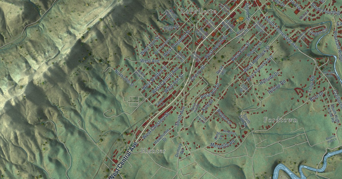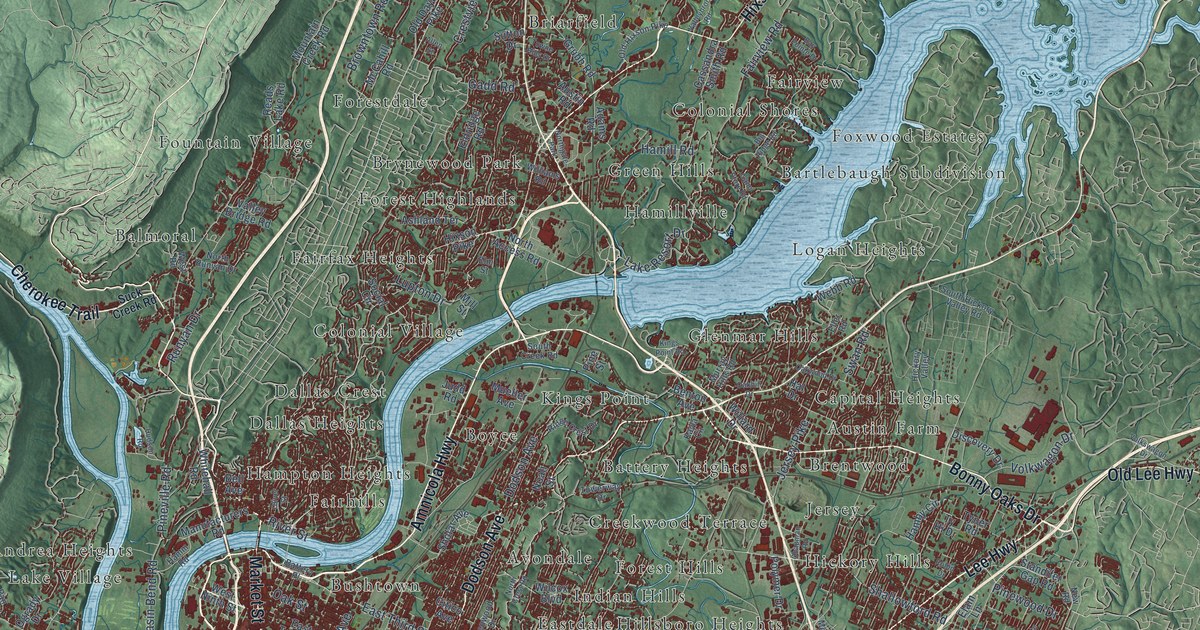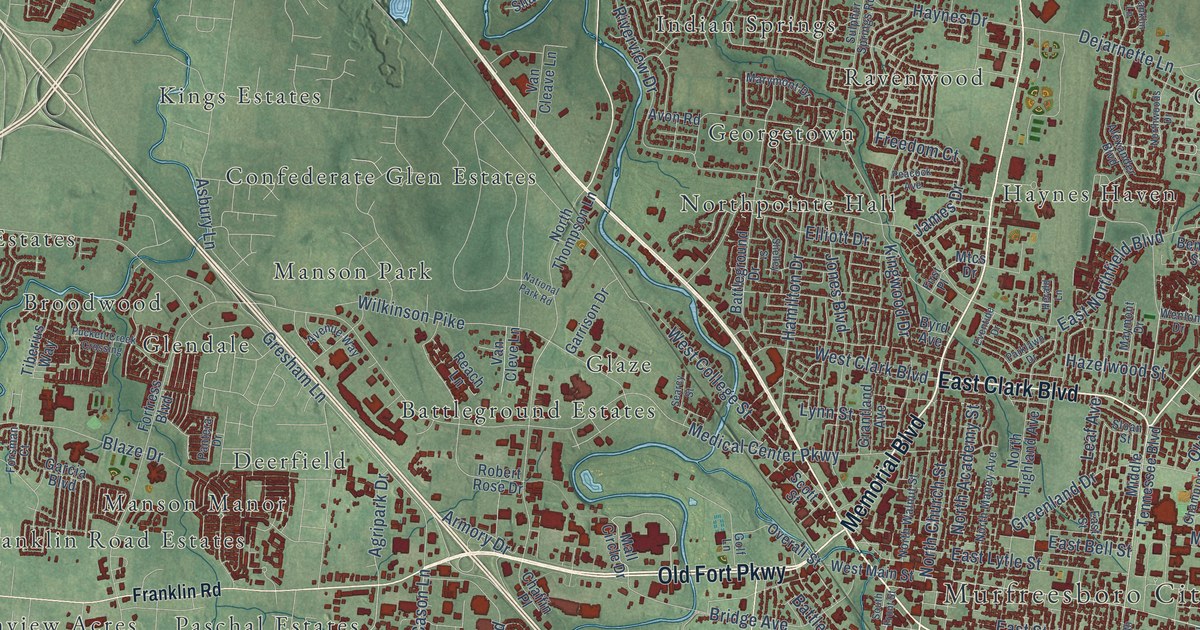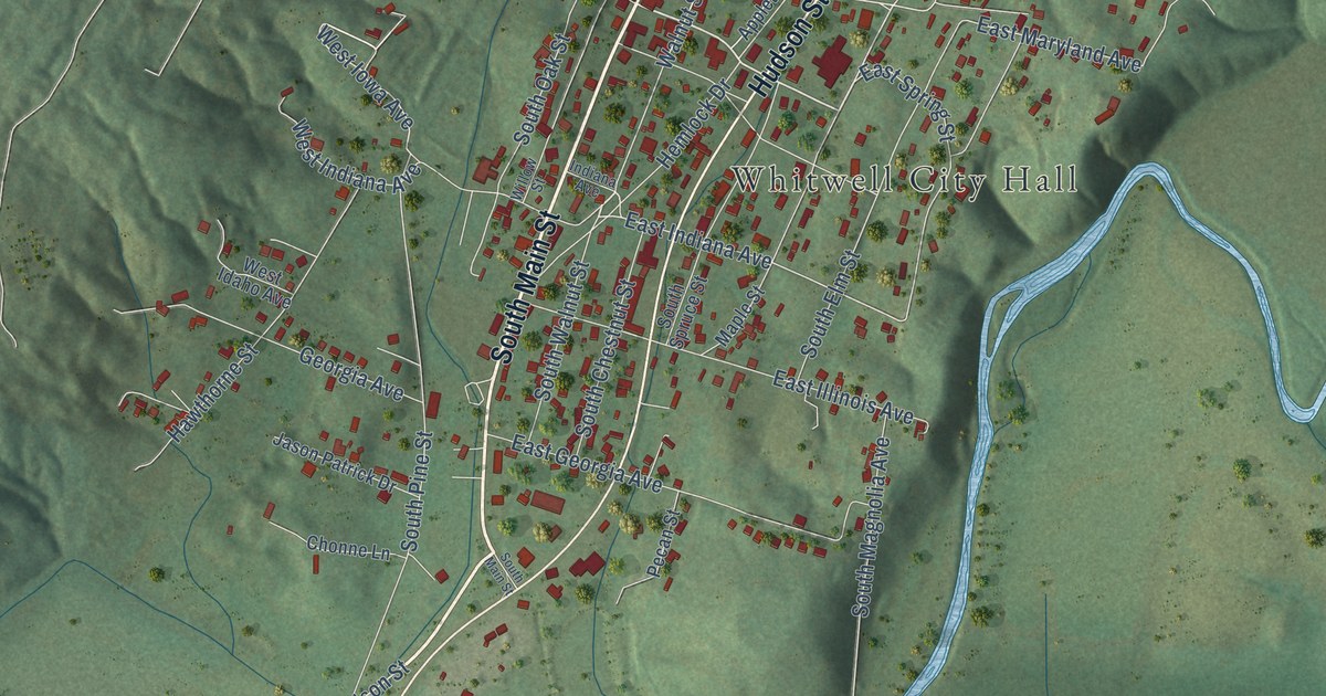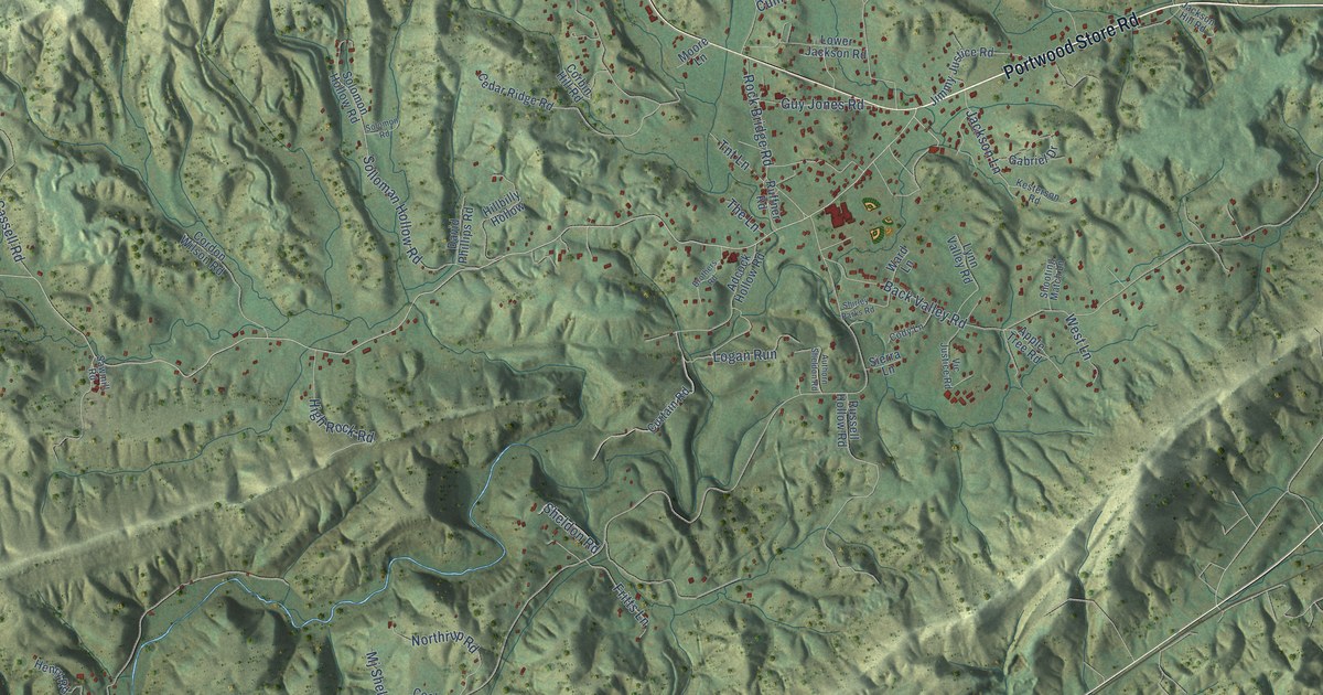
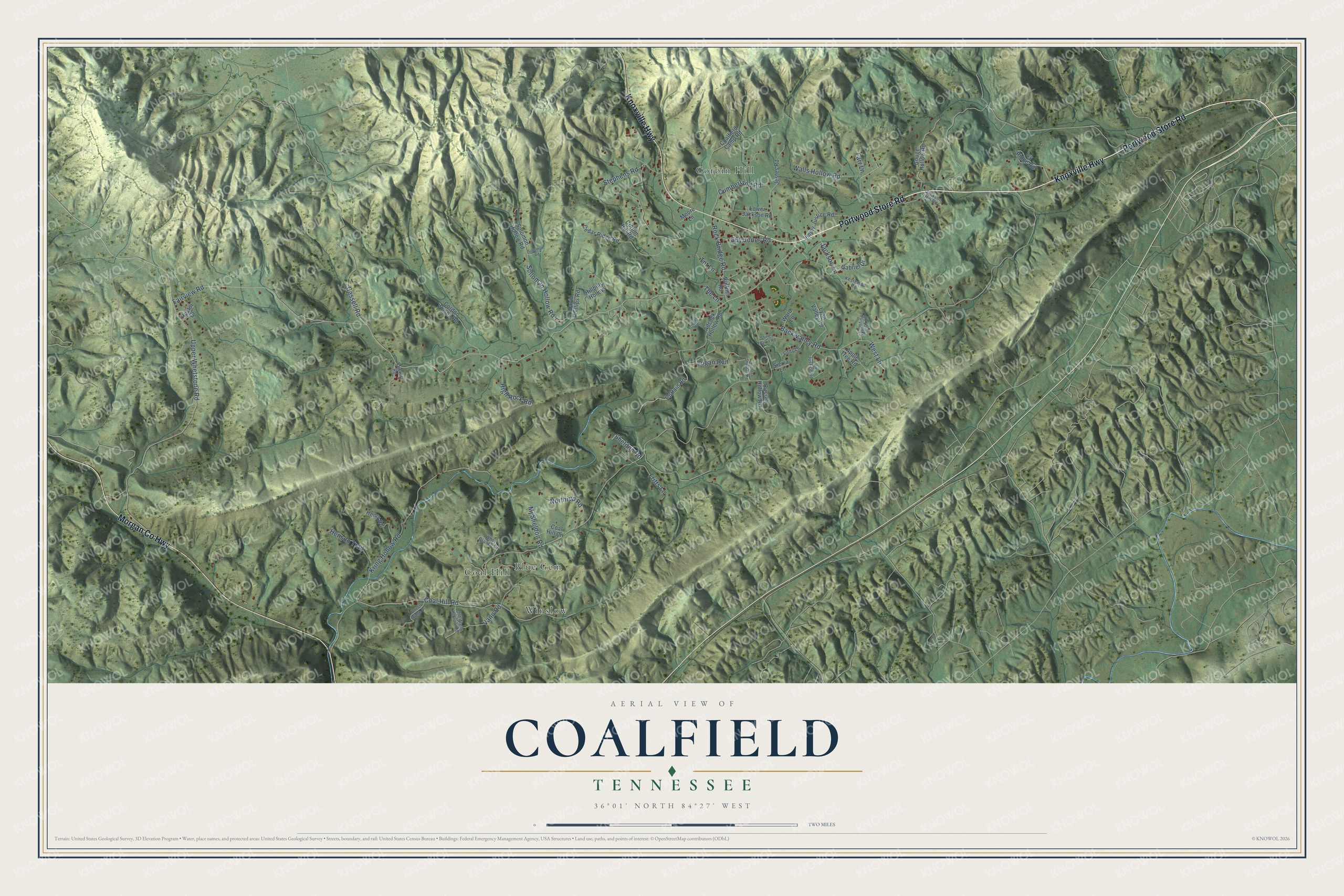
This beautifully detailed map of Coalfield, Tennessee was created in 2026 using aerial imagery combined with modern topographical, census, street and landmark data. It's a modern aerial view of Coalfield in Morgan County, Tennessee, that combines modern data with a vintage aesthetic. The roads feature printed names, and if you look closely you can find your exact house accurately shown in its correct location.
Explore an aerial view of Coalfield, Tennessee
On this map you'll find Blue Gem, Coal Hill, Corbin Hill, Winslow, Knoxville Highway, Portwood Store Road, Morgan Co Highway, Fairview Road, Upper Whetstone Road, Solloman Hollow Road, Walls Hollow Road, Coal Hill Road, and more. Each red shape is a building, so zoom in on the preview and look for yours.
Here is a piece of Coalfield history, in the words of the record. The Tennessee County History Series puts it this way: "Coalfield, established about 1850, is the oldest settlement in the southeastern part of the county. Located on the Little Emory River, it was first settled by Shack Ruffner, who operated a water mill on the river for grinding grain."
Coalfield is a community in Morgan County. The Census Bureau counted 2,361 people here in 2020.
Take a closer look at the Coalfield map
Names on this map
These names are printed on this map.
Places: Blue Gem, Coal Hill, Corbin Hill and Winslow.
Streets and roads: Knoxville Highway, Portwood Store Road, Morgan County Highway, Fairview Road, Upper Whetstone Road, Solloman Hollow Road, Walls Hollow Road, Coal Hill Road, Back Valley Road, Kring Hollow Road, Cassell Road, Cumberland Road.
More street names, A to Z
Adcock Hollow Road, Apple Tree Road, Authorn Sheldon Road, Brothers Road, Cedar Ridge Road, Coalfield Camp Road, Coal Hill Circle, Cody Lane, Corbin Hill Road, Cordon Wilson Road, Curtain Road, David Phillips Road, Farr Lane, Forest Ridge Drive, Fritts Lane, Gabriel Drive, Gouge Hollow Road, Guy Jones Road, Hector Drive, Henry Road, Henson Trail, High Rock Road, Hillbilly Hollow, Ivy Ridge Road, Jackson Hill Road, Jackson Lane, Jestes Road, Jimmy Justice Road, Kesterson Road, Logan Run, Lower Jackson Road, Lynn Valley Road, Mj Sheldon Road, Moore Lane, Northrup Road, Old Walls Hollow Road, Rock Bridge Road, Ruffner Road, Russell Hollow Road, Sawmill Road, Sheldon Road, Shirley Parks Road, Shooting Match Lane, Sierra Lane, Solomon Hollow Road, Solomon Road, Stephens Road, The Lane, Tnt Lane, Vann Road, Vic Justice Road, Ward Lane, West Lane, Whet Branch Drive.
Created by KNOWOL in 2026. The buildings are small red shapes, the roads carry their printed names, and shaded relief shows the shape of the land. The title panel reads "AERIAL VIEW OF COALFIELD TENNESSEE" with 36°01' NORTH 84°27' WEST.
It suits a den, a classroom or a front hall, and it makes a gift for anyone with Coalfield roots. Open the preview and find the block you know. See sizes and frames for the Coalfield map.