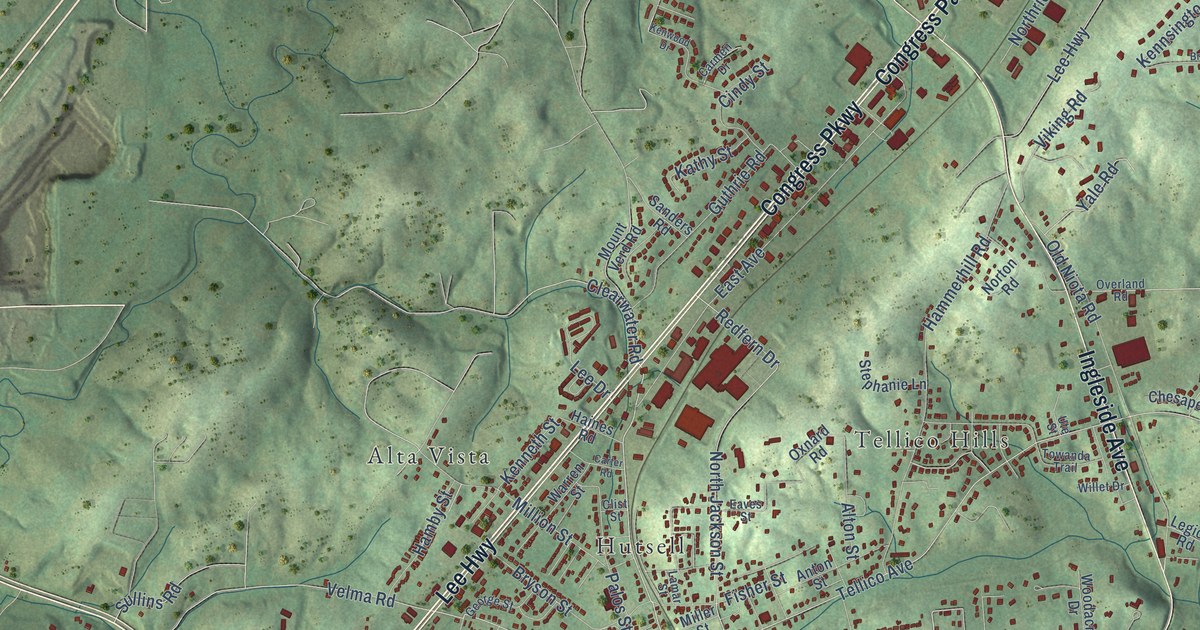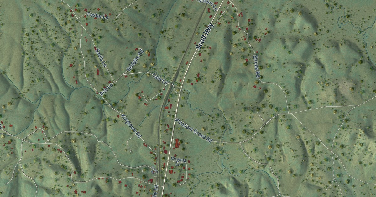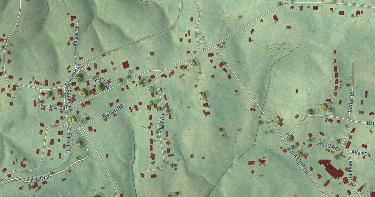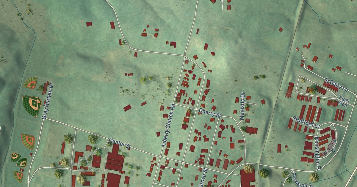
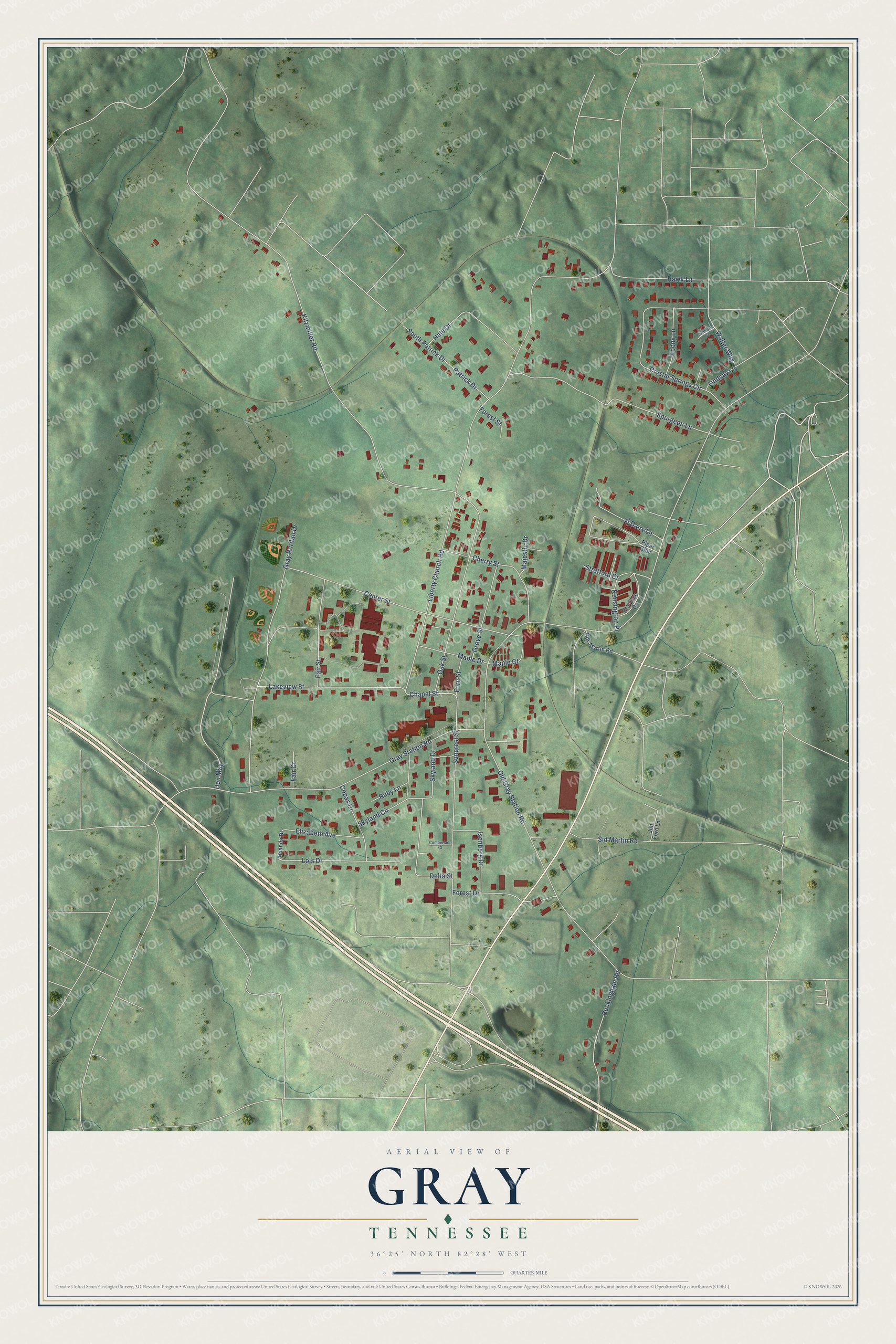
This beautifully detailed map of Gray, Tennessee was created in 2026 using aerial imagery combined with modern topographical, census, street and landmark data. It's a modern aerial view of Gray in Washington County, Tennessee, that combines modern data with a vintage aesthetic. The roads feature printed names, and if you look closely you can find your exact house accurately shown in its correct location.
Explore an aerial view of Gray, Tennessee
On this map you'll find Chapel Street, Gray Station Road, Kitzmiller Road, Liberty Church Road, Gray Ruritan Drive, Center Street, Oak Street, Spurgeon Lane, Crystal Springs Circle, Old Gray Station Road, Suncrest Street, Lakeview Street, and more. Each red shape is a building, so zoom in on the preview and look for yours.
Here is a piece of Gray history, in the words of the record. The Washington County TNGenWeb puts it this way: "Charlie Bowman, Hall of Fame fiddler, recording artist, vaudeville performer and writer of Nine Pound Hammer and East Tennessee Blues, toured with the Hill Billies and other music groups, one performing for President Calvin Coolidge."
Gray is a place in Washington County. The Census Bureau counted 1,293 people here in 2020.
Take a closer look at the Gray map
Names on this map
These names are printed on this map.
Streets and roads: Chapel Street, Gray Station Road, Kitzmiller Road, Liberty Church Road, Gray Ruritan Drive, Center Street, Oak Street, Spurgeon Lane, Crystal Springs Circle, Old Gray Station Road, Suncrest Street, Lakeview Street.
More street names, A to Z
Allison Court, Amanda Drive, Buckingham Road, Cherry Street, Copas Drive, Cumberland Court, Delta Street, Don May, Ebony Lane, Elizabeth Avenue, Fair Court, Fair Street, Ford Street, Forest Drive, Forest Street, Grove Street, Hale Drive, Hawk Lane, Isenberg Drive, Jim Ford Lane, Kensington Place, Lindsay Lane, Lois Drive, Majestic Drive, Maple Court, Maple Drive, Patrick Drive, Piper Glen, Province Drive, Roy Martin Road, Ruby Lane, Sid Martin Road, Skyland Circle, Skyland Drive, South Patrick Drive, Stratford Court, Walter Way.
Created by KNOWOL in 2026. The buildings are small red shapes, the roads carry their printed names, and shaded relief shows the shape of the land. The title panel reads "AERIAL VIEW OF GRAY TENNESSEE" with 36°25' NORTH 82°28' WEST.
It suits a den, a classroom or a front hall, and it makes a gift for anyone with Gray roots. Open the preview and find the block you know. See sizes and frames for the Gray map.