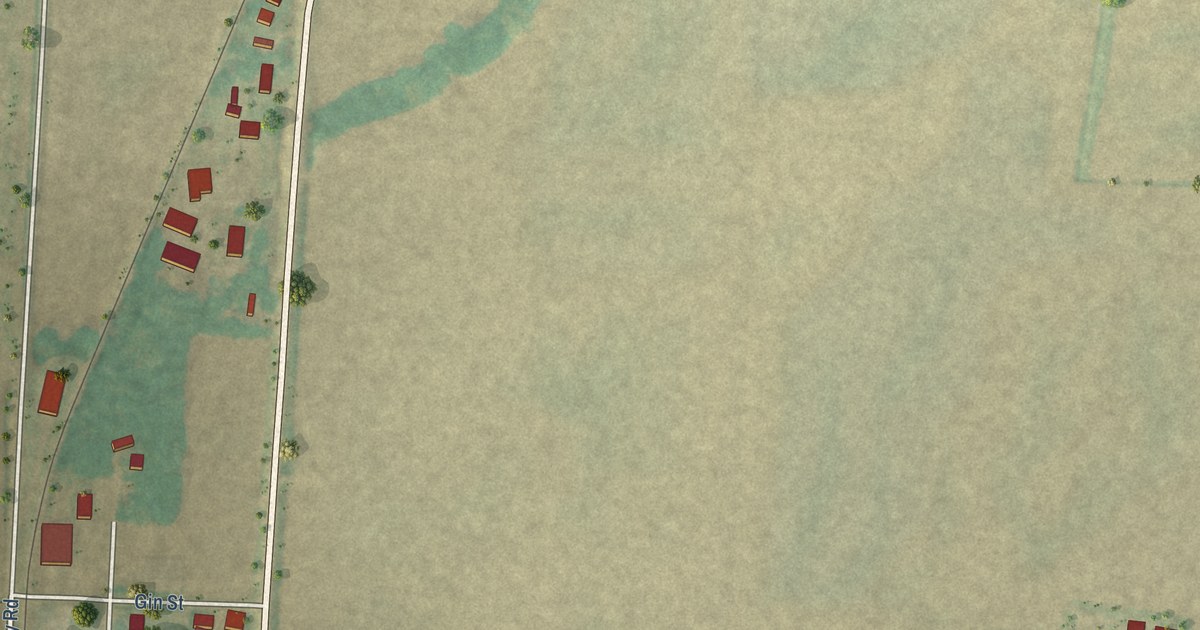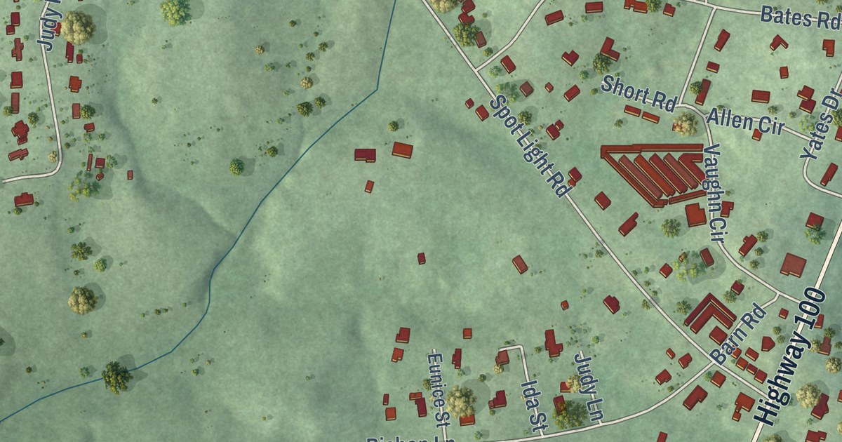
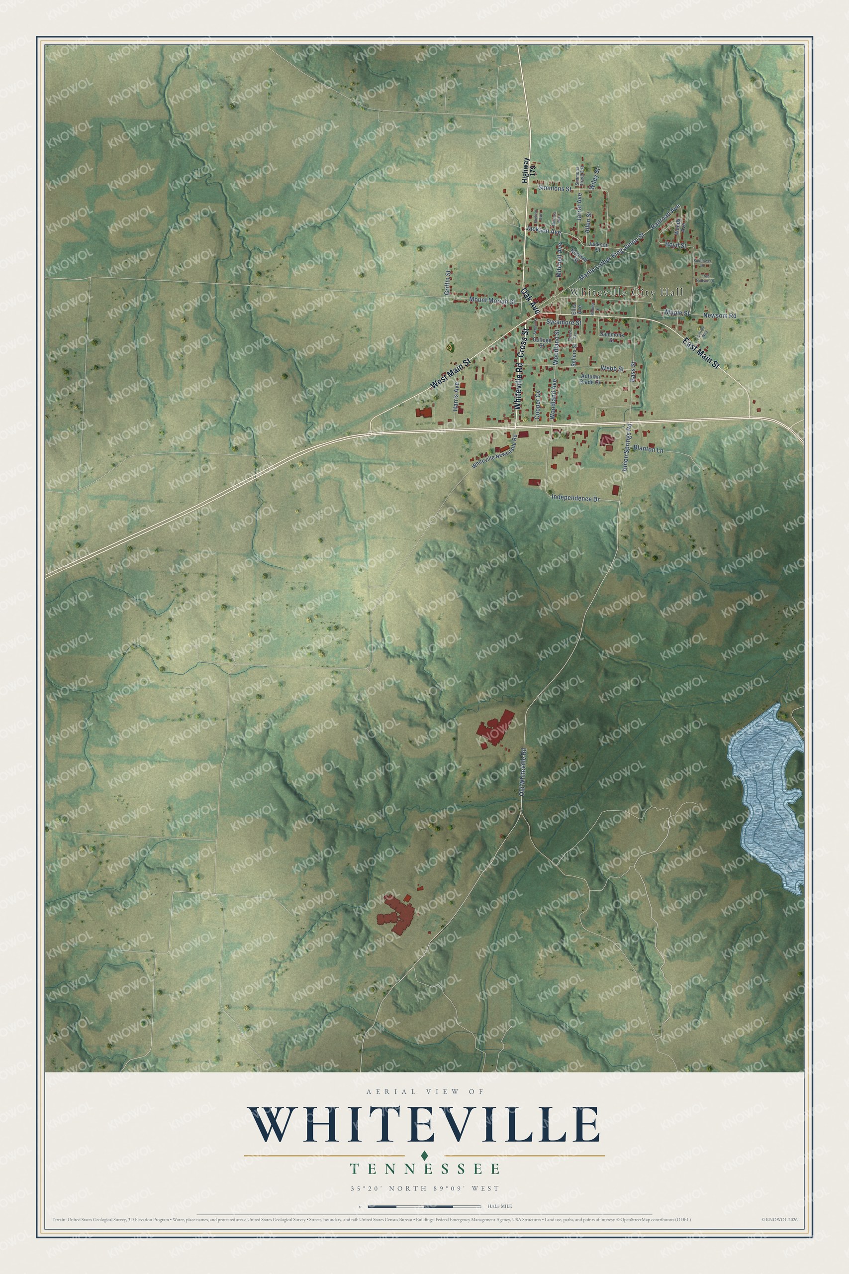
This beautifully detailed map of Whiteville, Tennessee was created in 2026 using aerial imagery combined with modern topographical, census, street and landmark data. It’s a one-of-a-kind view of Whiteville that combines accurate data with a vintage aesthetic. The map shows every building in its true location, many of the roads carry their names, and the shaded topographic relief shows the shape of the land.
Explore an aerial view of Whiteville, Tennessee
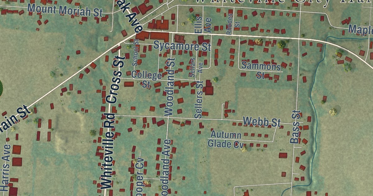
On the map you’ll find Whiteville City Hall, along with Whiteville Road, Oak Avenue, East Main Street, West Main Street, Cross Street, Newsom Road, Boyd Street, Independence Drive, Jarret Avenue, Old Whiteville Road, Union Springs Road, and more. If you look closely you can even find your house accurately drawn in its correct location. Zoom in on the preview to look for yours.
Did you know this piece of Whiteville, Tennessee history?
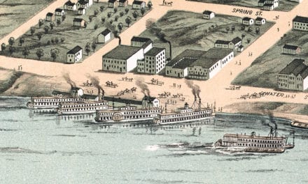
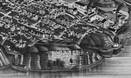
From the Tennessee Encyclopedia: "Whiteville, which was incorporated in 1854, first emerged in the early nineteenth century when Dr. John White opened a trading post. John S. Norment built the first and only cloth manufacturing factory near Whiteville."
Take a closer look at the Whiteville map
Street and place names on the Whiteville, Tennessee map
These names are printed on the map of Whiteville, Tennessee.
Places: Whiteville City Hall.
Streets and roads: Whiteville Road, Oak Avenue, East Main Street, West Main Street, Cross Street, Boyd Street, Independence Drive, Jarret Avenue, Old Whiteville Road, Union Springs Road, Martin Luther King Junior Street, Railroad Avenue.
More street names, A to Z
Allen Street, Autumn Glade Cv, Bass Street, Blanton Lane, College Street, Cooper Cv, Cotton Way, Ellis Avenue, Fred Hudson Drive, Griffin Street, Harris Avenue, Highway 179, Jackson Avenue, Jackson Street, Maple Street, Minerva Avenue, Mitchell Avenue, Mount Moriah Street, Newsom Road, Norman Street, Rhodes Street, Sammons Street, School Street, Sellars Avenue, Sellers Street, Shelton Avenue, Simmons Street, Simmons Street Extension, Sunflower Drive, Sycamore Street, Webb Street, Whiteville Newcastle Road, Wiley Street, Woodland Avenue, Woodland Street, Woods Avenue.
See the Whiteville, Tennessee map on a wall
The Whiteville map as an 18 x 24 inch print in a black frame.

This beautifully detailed map of Whiteville makes an attractive addition to your office, library, or den, and it can even be used to teach children the geography and history of the area. It also makes a great gift for anyone with Whiteville roots. When you’re done exploring, click here to get your copy of the Whiteville map.