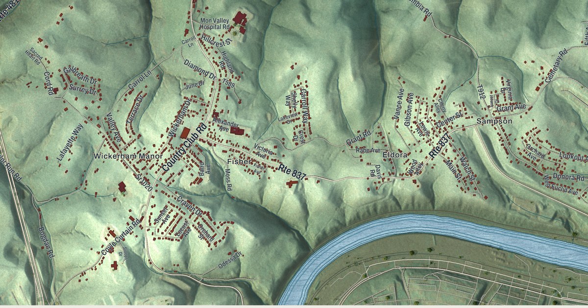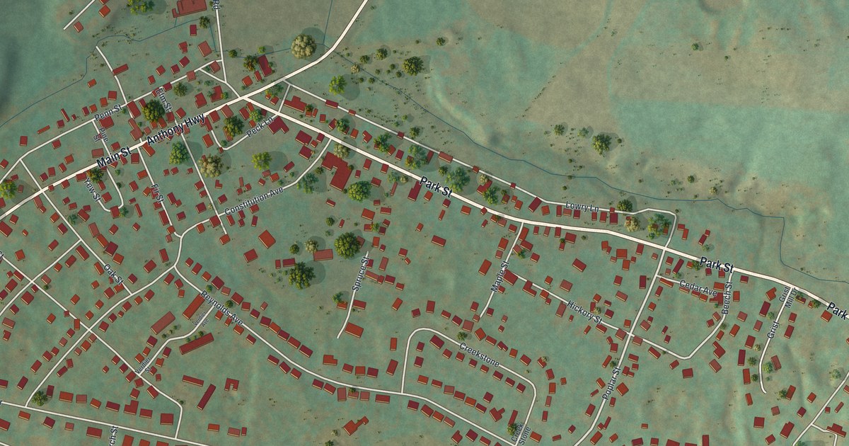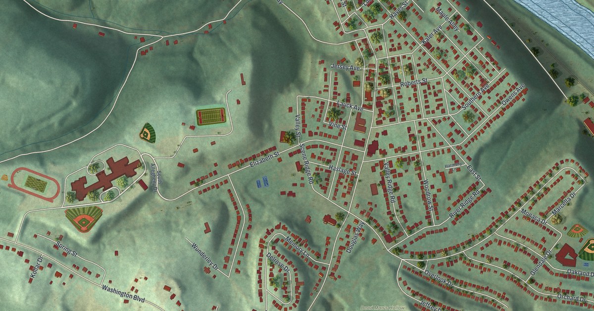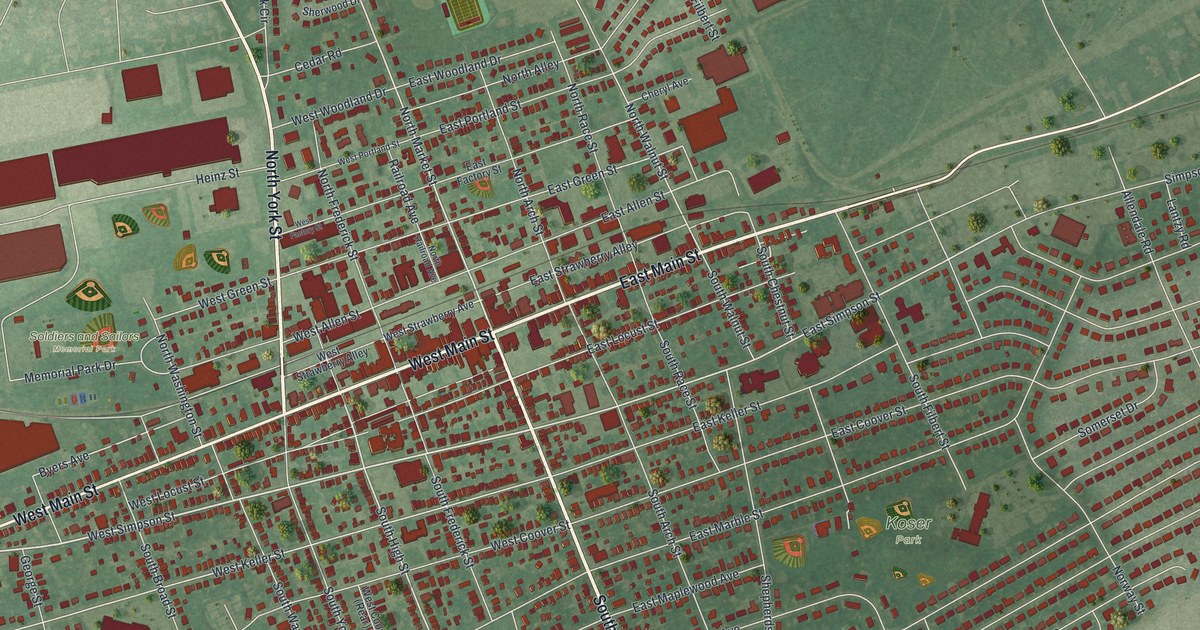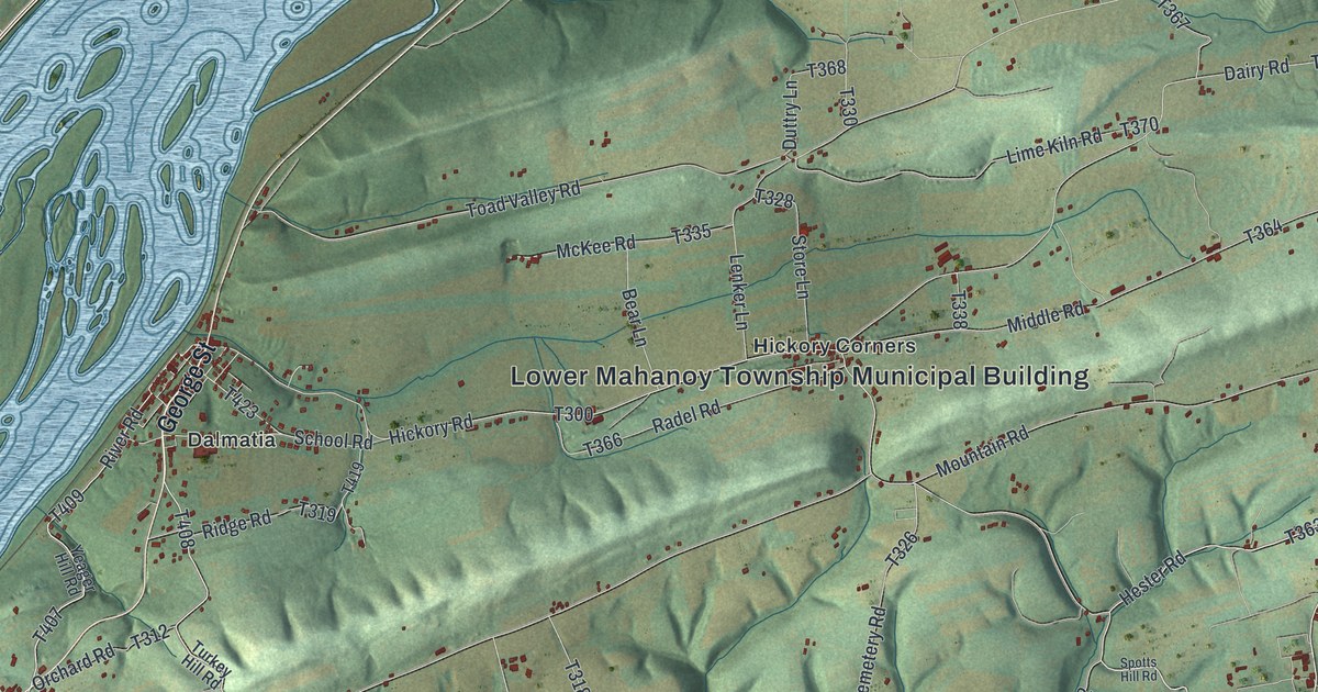
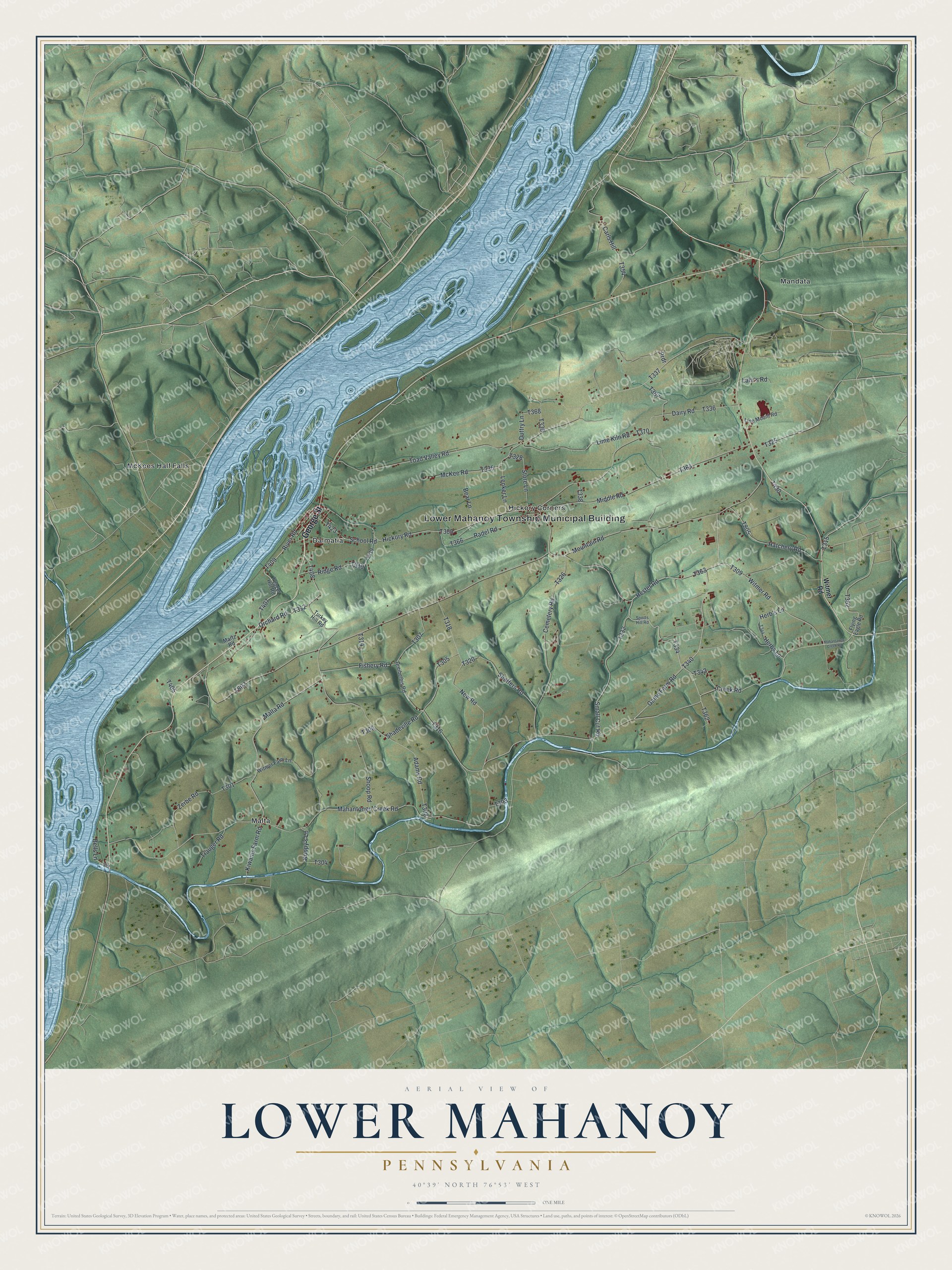
This beautifully detailed map of Lower Mahanoy, Pennsylvania was created in 2026 using aerial imagery combined with modern topographical, census, street and landmark data. It's a modern aerial view of Lower Mahanoy in Northumberland County, Pennsylvania, that combines modern data with a vintage aesthetic. The roads feature printed names, and if you look closely you can find your exact house accurately shown in its correct location.
Explore an aerial view of Lower Mahanoy, Pennsylvania
On this map you'll find Lower Mahanoy Township Municipal Building, Dalmatia, Hickory Corners, Malta, Mandata, McKees Half Falls, George Street, Mahantongo Creek Road, Witmer Road, T363, River Road, T407, and more. Each red shape is a building, so zoom in on the preview and look for yours.
Here is a piece of Lower Mahanoy history, in the words of the record. The Internet Archive puts it this way: "The Witmer mill, as originally built by George Brosius, was a log structure; the present frame building is three stories high, equipped with three sets of buhrs. The mill now operated by Michael Spotts was built in 1845 by Michael Wert and Michael Rudel."
Lower Mahanoy is a place in Northumberland County. The Census Bureau counted 1,626 people here in 2020.
Take a closer look at the Lower Mahanoy map
Names on this map
These names are printed on this map.
Places: Lower Mahanoy Township Municipal Building, Dalmatia, Hickory Corners, Malta, Mandata and McKees Half Falls.
Streets and roads: George Street, Mahantongo Creek Road, Witmer Road, River Road, Game Farm Road, Hester Road, Hickory Road, Malta Road, Creek Road, Kiwanis Farm Road, School Road, Herbs Lane.
More street names, A to Z
Adams Road, Bear Lane, Bells Lane, Carls Hill, Cemetery Road, Dairy Road, Dreibelbis Road, Duttry Lane, Fishery Road, Flying Eagle Road, Hatchery Road, Herb's Lane, Koppy's Lane, Lahr's Road, Lenker Lane, Lime Kiln Road, Line Mount Road, Mahantango Creek Road, Martz Road, McKee Road, Middle Road, Mountain Road, New Road, Orchard Road, Prdr, Radel Road, Ridge Road, Shadeville Road, Shaffers Road, Shoop Road, Small Cut Road, Spotts Hill Road, Store Lane, Toad Valley Road, Trauger Road, Turkey Hill Road, Witmer Farm Lane, Yeager Hill Road, Zerbe Road.
Created by KNOWOL in 2026. The buildings are small red shapes, the roads carry their printed names, and shaded relief shows the shape of the land. The title panel reads "AERIAL VIEW OF LOWER MAHANOY PENNSYLVANIA" with 4, 0, °, 3, 9, ', , N, O, R, T, H, , 7, 6, °, 5, 3, ', , W, E, S, T.
It suits a den, a classroom or a front hall, and it makes a gift for anyone with Lower Mahanoy roots. Open the preview and find the block you know. See sizes and frames for the Lower Mahanoy map.