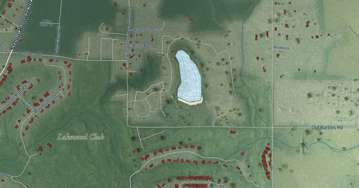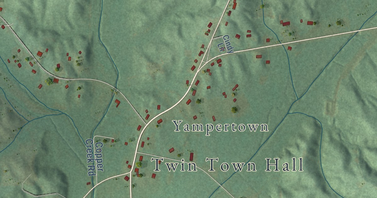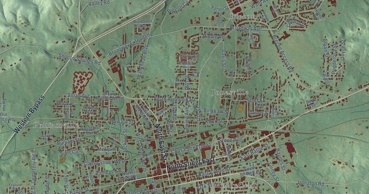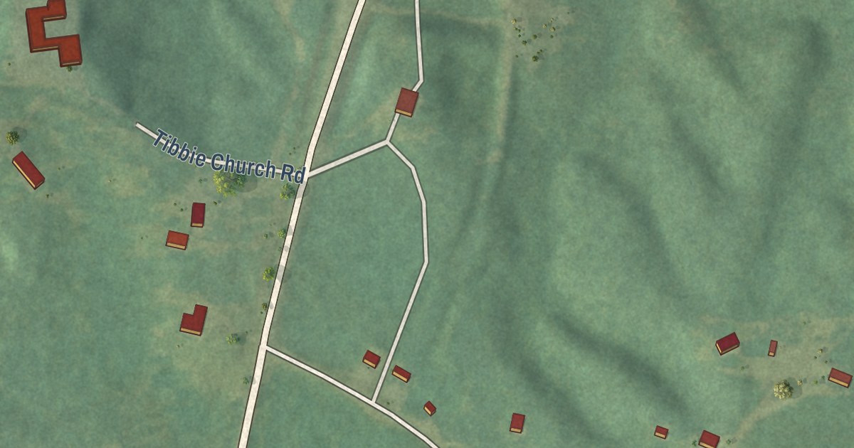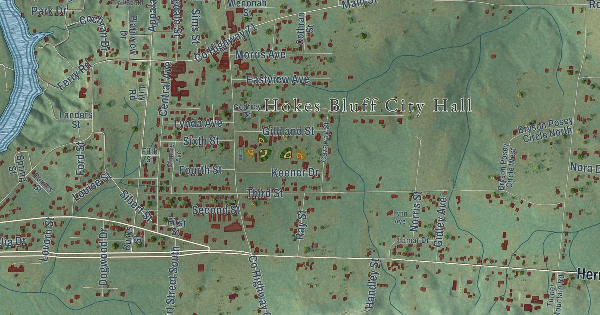
This beautifully detailed map of Hokes Bluff, Alabama was created in 2026 using aerial imagery combined with modern topographical, census, street and landmark data. It’s a one-of-a-kind view of Hokes Bluff that combines accurate data with a vintage aesthetic. The map shows every building in its true location, many of the roads carry their names, and the shaded topographic relief shows the shape of the land.
Explore an aerial view of Hokes Bluff, Alabama
On the map you’ll find Hokes Bluff City Hall, Mayes Crossroad, Noojinsville, Bachelors Chapel, and Ewing, along with Herman Nelson Highway, Piedmont Highway, Ford Valley Road, Fords Valley Road, McLain Street North, McLain Street South, Bernard Street, and more. If you look closely you can even find your house accurately drawn in its correct location. Zoom in on the preview to look for yours.
Did you know this piece of Hokes Bluff, Alabama history?
From Encyclopediaofalabama.org: "Settlers began coming into the area in the 1830s, including the man after whom the town was eventually named, Daniel Hoke, a local entrepreneur who built a trading post, store, and blacksmith shop."
Take a closer look at the Hokes Bluff map
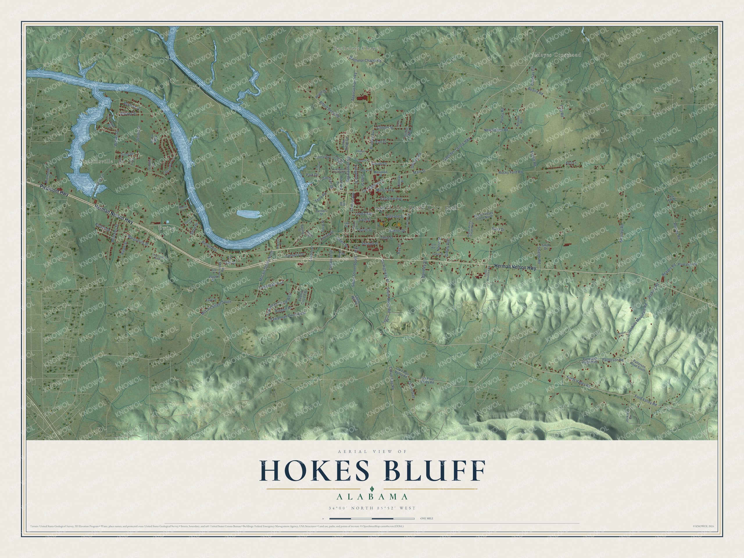
Street and place names on the Hokes Bluff, Alabama map
These names are printed on the map of Hokes Bluff, Alabama.
Places: Hokes Bluff City Hall, Mayes Crossroad, Noojinsville, Bachelors Chapel and Ewing.
Streets and roads: Herman Nelson Highway, Piedmont Highway, Ford Valley Road, Fords Valley Road, McLain Street North, McLain Street South, Bernard Street, Colvin Gap Road, Gadsden Centre Highway, Jenkins Road, Jenkins Mountain Road, Main Street.
More street names, A to Z
Aaron Way, Abel Street, Alford Bend Road, Appalachian Highway, Appalachian Road, April Lane, Autumn Road, Bachelor Chapel Road, Barnes Drive, Barnes Street, Beaird Road, Beasley Road, Bradley Avenue, Brierwood Drive, Brockhill Drive, Bryson Posey Circle North, Bryson Posey Circle West, Burns Street, Bush Street, Caddell Circle, Cedar Ridge Circle, Central Avenue, Clinton Place, Clinton Street, Clinton Way, Cochran Drive, Colvin Gap, Condray Circle, Cornelia Drive, Cothran Street, County Highway 65, County Highway 71, Cove Circle, Cove Place, Desoto Street, Dogwood Drive, Earl Drive, East Sims Drive, Eastview Avenue, Euclid Road, Faye Drive, Ferry Road, Fifth Street, First Street, Ford Street, Fourth Street, Garrison Street, Gazaway Street, Gidley Avenue, Gilliland Street, Gilmore Avenue, Godfrey Road, Gossett Road, Gray Circle South, Hackberry Lane, Handley Street, Jenkins Circle, Johnson Street, Keener Drive, Lamar Drive, Landers Street, Langdale Street, Leonard Drive, Lily Road, Louise Street, Lovorn Street, Lynda Avenue, Lynn Avenue, Marguerite Street, Martin Drive, Morgan Drive, Morris Avenue, New Bethel Road, Nora Drive, Norris Street, Oak Lake Drive, Oak Street, Old Fords Valley Road, Old Ford Valley Road, Park Drive, Patterson Road, Patterson Road South, Patterson Road West, Phillips Street, Pinehill Circle East, Pinehill Place, Plainview Drive, Plantation Road, Posey Road, Ralph Street, Ray Street, Reaves Road, Reeves Road, Reeves Street, Rexford Street, Riverview Drive, Rocky Ford Road, Sandlin Lane, Second Street, Shaw Street, Shields Road, Sibert Mill Road, Sibert Street, Sibert Street South, Sims Drive, Sims Lane, Sims Street, Sixth Street, Smith Drive, South Alford Road, Spring Street, Sunset Drive, Tanglewood Trail North, Tanglewood Trail South, Tawannah Circle East, Tawannah Circle West, Tawannah Trail, Third Street, Towncreek Road, Troy Road, Turner Mountain Road, Twanna Road, Veranda Trce, Vine Street, Walker Drive, Wenonah Street, Williams Street, Wright Drive.
See the Hokes Bluff, Alabama map on a wall
The Hokes Bluff map as an 18 x 24 inch print in a black frame.

This beautifully detailed map of Hokes Bluff makes an attractive addition to your office, library, or den, and it can even be used to teach children the geography and history of the area. It also makes a great gift for anyone who grew up in Hokes Bluff or moved away. When you’re done exploring, click here to get your copy of the Hokes Bluff map.