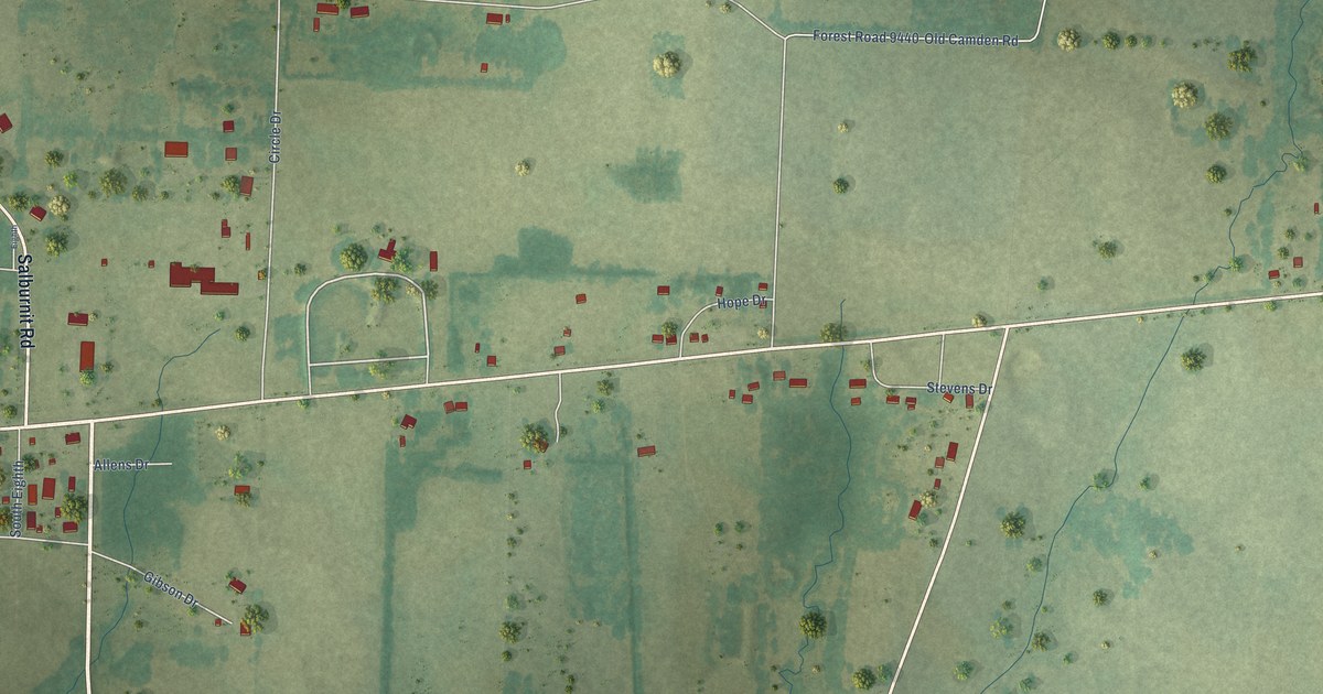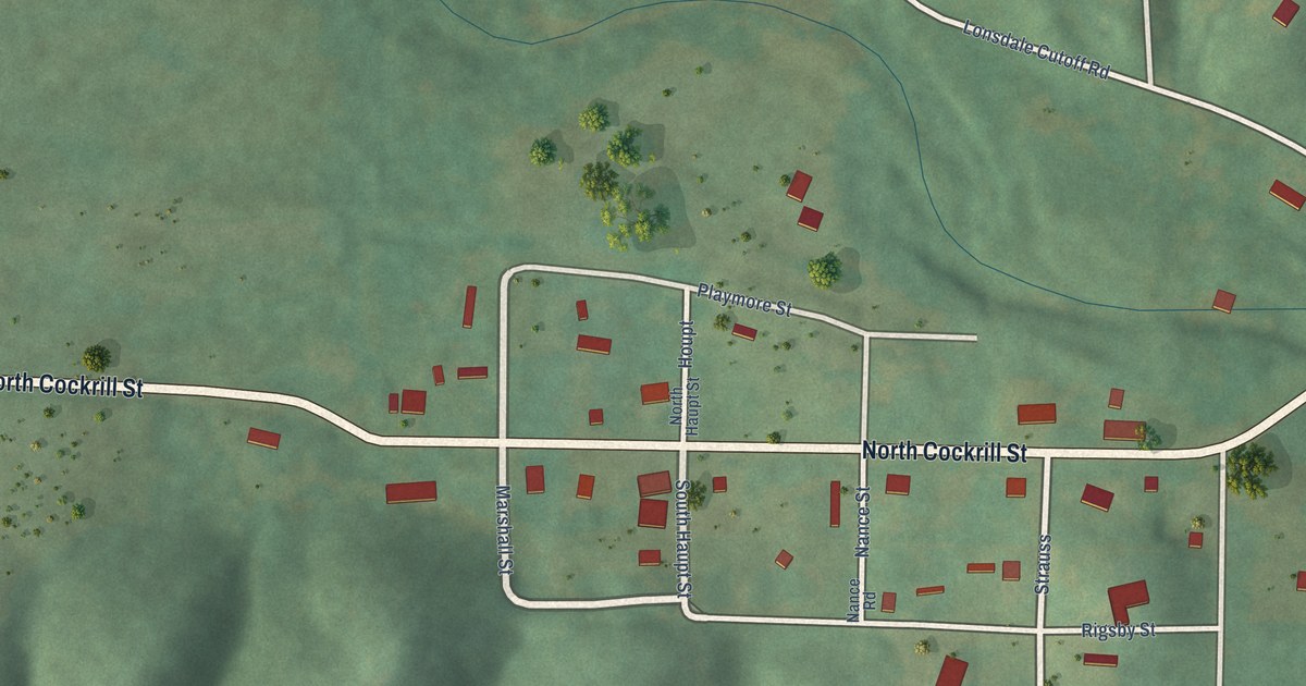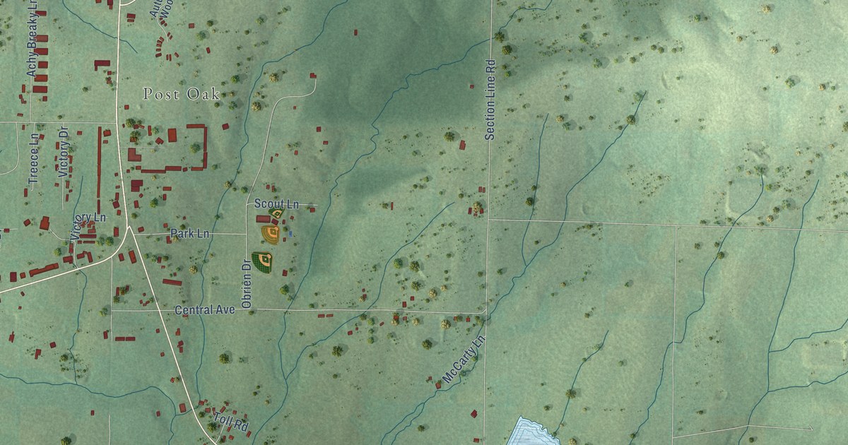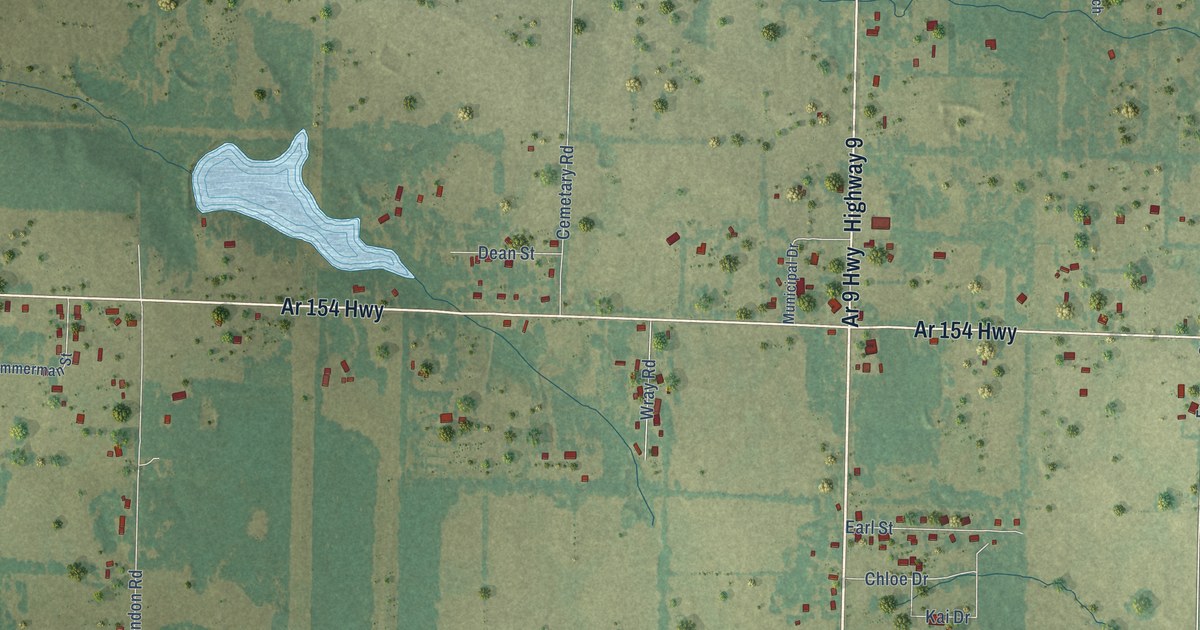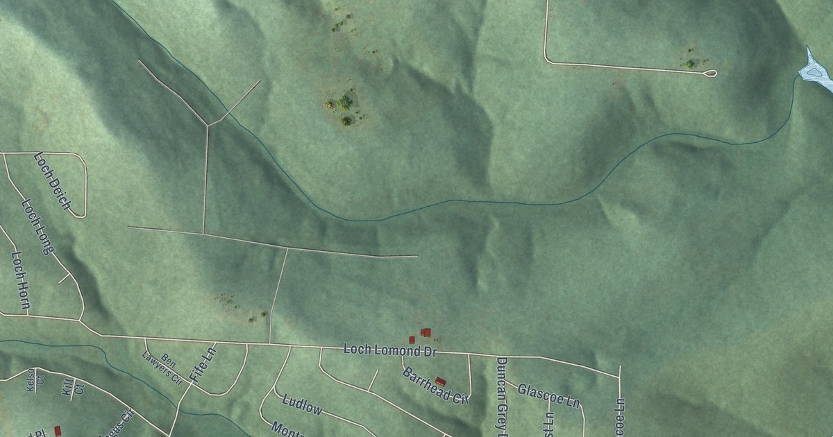
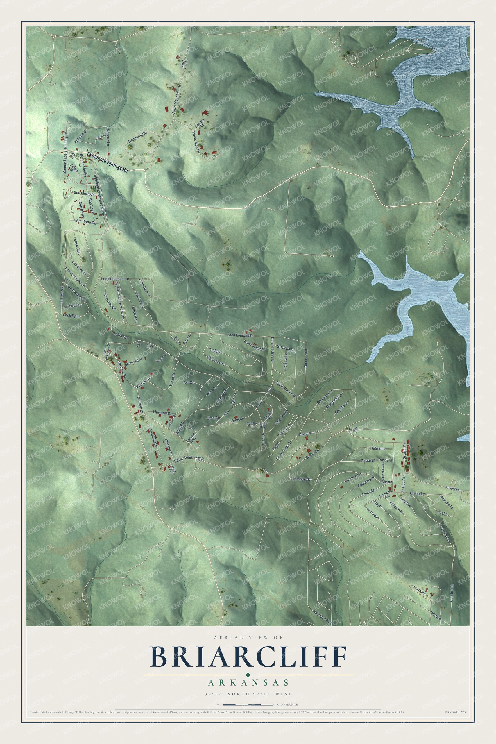
This beautifully detailed map of Briarcliff, Arkansas was created in 2026 using aerial imagery combined with modern topographical, census, street and landmark data. It's a modern aerial view of Briarcliff in Baxter County, Arkansas, that combines modern data with a vintage aesthetic. The roads feature printed names, and if you look closely you can find your exact house accurately shown in its correct location.
Explore an aerial view of Briarcliff, Arkansas
On this map you'll find Sycamore Springs Road, Girvan, Argyll, Hornpipe, Passy Lane, Passe Lane, Calenden, Stone Haven Drive, Edinburg Drive, Glencoe Lane, Harin Creek, Scenic Drive, and more. Each red shape is a building, so zoom in on the preview and look for yours.
Briarcliff has a story worth telling. The CALS Encyclopedia of Arkansas puts it this way: "Briarcliff-by-the-Lake was developed in the 1970s as a retirement community. The development covers 1,200 acres and includes a park, a nature trail, and a small fishing lake stocked by the Arkansas Game and Fish Commission."
Briarcliff is a city in Baxter County.
Take a closer look at the Briarcliff map
Names on this map
These names are printed on this map.
Streets and roads: Sycamore Springs Road, Girvan, Argyll, Hornpipe, Passy Lane, Passe Lane, Calenden, Stone Haven Drive, Edinburg Drive, Glencoe Lane, Harin Creek, Scenic Drive.
More street names, A to Z
Abbotsford, Alexander Drive, Angus Circle, Autumn Drive, Autumn Lane, Ayr Circle, Barrhead Circle, Ben Hope Circle, Ben Lawyers Circle, Ben Loyal, Ben More Circle, Ben Nevis, Bentwood Place, Bogillis Lane, Bonnie Bo, Bonnie Laddie, Bonnie Lassie, Bonnie Ray, Buckhaven, Burghead Drive, Canmore Drive, Coatbridge, Creiff, Denmark Circle, Dingwall Lane, Duncan, Duncan Gray Drive, Duncan Grey, Duncan Grey Drive, Dundee Circle, Dundee Lane, Elgin Lane, Fife Lane, Forrest Lane, Fortrose, Glascoe Lane, Glen, Glen Circle, Glen Drive, Glen Key Circle, Glenpike, Gray, Gray Circle, Hebrides, Hebrides Avenue, Highland Boulevard North, Highland Boulevard South, Holiday Drive, Hornpipe Avenue, Jasmine Lane, Keith Drive, Kelso Court, Kilbride Drive, Kilbride Place, Kilt Court, Kinsey Lane, Lauderdale Drive, Linwood Drive, Loch Awe Lane, Loch Deich, Loch Fyne, Loch Horn, Loch Leven, Loch Lomond Drive, Loch Lomond Lane, Loch Long, Loch Lynn, Loch Maree, Loch Rannoch Drive, Loch Ryan Lane, Loch Shin, Ludlow, Mac Duff, Mason Drive, McCain Drive, Mc Cain Drive, Montrose Lane, Nieboer Drive, Orkney Lane, Orval Drive, Pear Tree Lane, Rescue Lane, Rolling Lane, Rotesay, Saint Kilda, Scalpa Avenue, Scalpa Drive, Senic Drive, Shee Drive, Shoal Cr Road, Sweden Court, Swiss Alps Lane, Swiss Mountain Drive, Tam O'Shanter Drive, Tweeddale, Votaw Drive, Wick Lane, Wick Road, Wishaw.
Created by KNOWOL in 2026. The buildings are small red shapes, the roads carry their printed names, and shaded relief shows the shape of the land. The title panel reads "AERIAL VIEW OF BRIARCLIFF ARKANSAS" with 36°17' NORTH 92°17' WEST.
It looks right in a kitchen, an office or a den, and it's a gift for anyone who grew up in Briarcliff or moved away. Open the preview and find your street. See sizes and frames for the Briarcliff map.