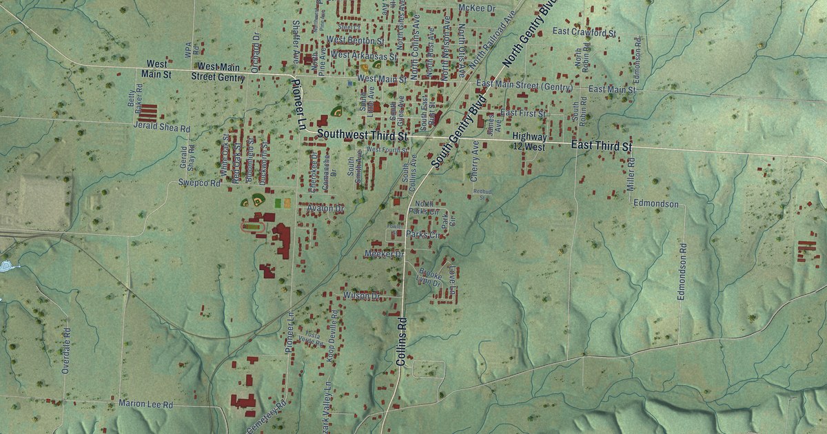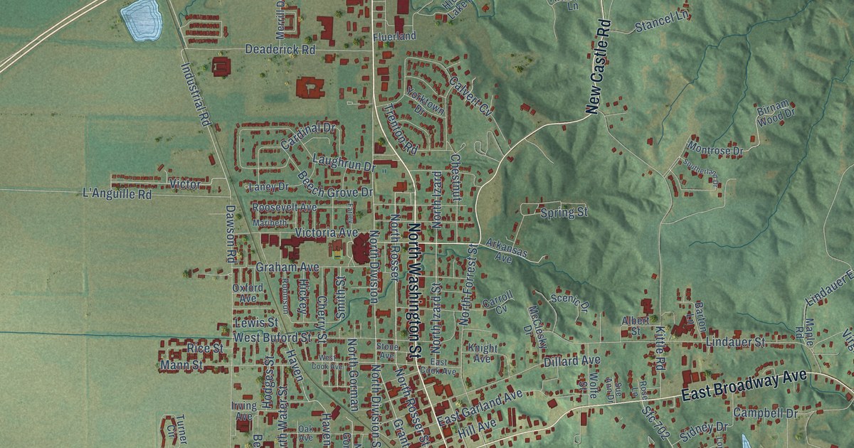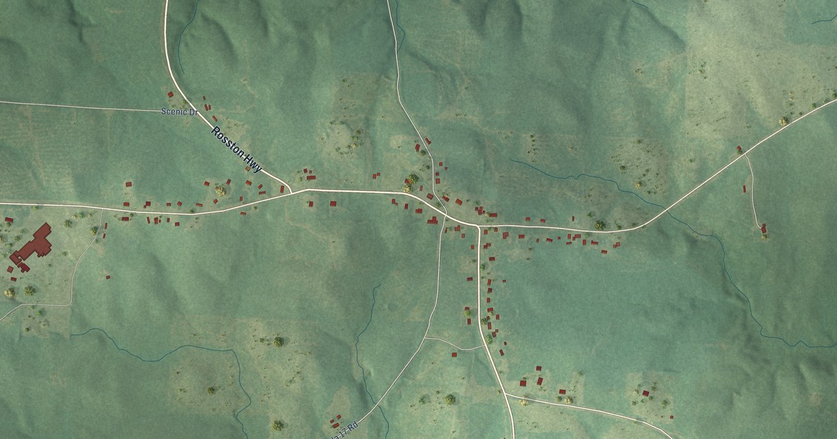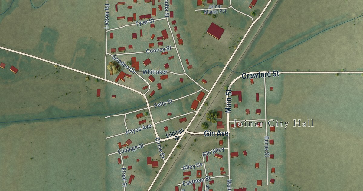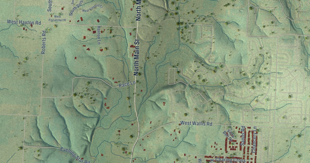
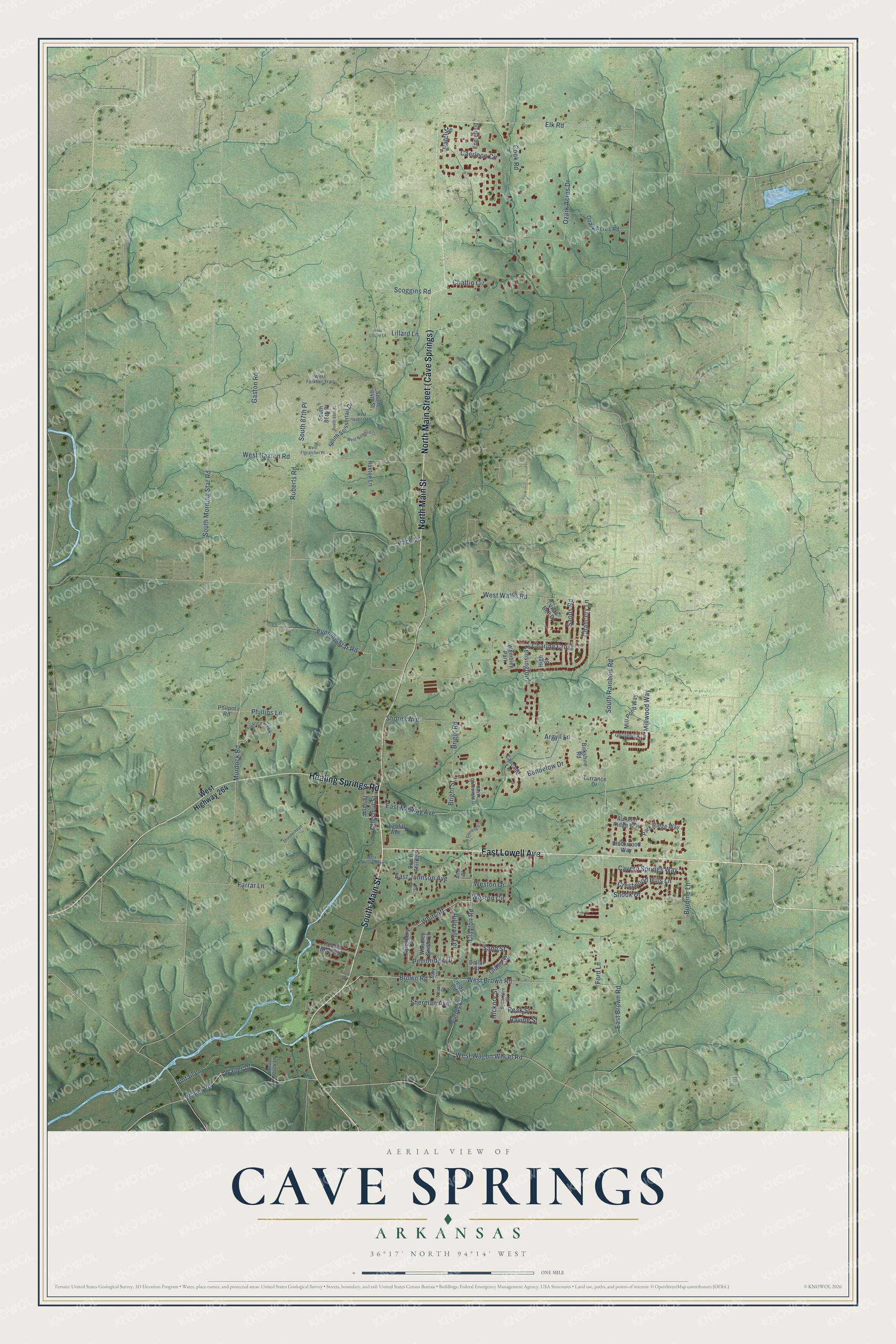
This beautifully detailed map of Cave Springs, Arkansas was created in 2026 using aerial imagery combined with modern topographical, census, street and landmark data. It's a modern aerial view of Cave Springs in Benton County, Arkansas, that combines modern data with a vintage aesthetic. The roads feature printed names, and if you look closely you can find your exact house accurately shown in its correct location.
Explore an aerial view of Cave Springs, Arkansas
On this map you'll find South Main Street, North Main Street, North Main Street (Cave Springs), East Lowell Avenue, Healing Springs Road, West Brown Road, South Rainbow Road, Ford Lane, Murdock Road, Brown Road, Glass Street, West Wagon Wheel Road, and more. Each red shape is a building, so zoom in on the preview and look for yours.
Every town has a first chapter, and Cave Springs is no exception. The CALS Encyclopedia of Arkansas puts it this way: "Cave Springs is named for two caves and for the water source that flows from the northernmost of those caves. The north cave, which has been closed to the public since the 1980s, is said to consist of several rooms and to contain two beautiful waterfalls."
Cave Springs is a city in Benton County.
Take a closer look at the Cave Springs map
Names on this map
These names are printed on this map.
Places: Wembley Park.
Streets and roads: South Main Street, North Main Street, East Lowell Avenue, Healing Springs Road, West Brown Road, South Rainbow Road, Ford Lane, Murdock Road, Brown Road, Glass Street, West Wagon Wheel Road, East Midway Avenue.
More street names, A to Z
Abby Court, Allen Street, Alton Street, Argyll Lane, Autumn Ridge Way, Aylesbury Lane, Bendelow Drive, Birkshire Road, Blackwood Way, Bright Road, Bright Street, Burdine Lane, Caerleon Circle, Cascade Lane, Cavern Springs Way, Chancery Lane, Charing Cross, Chattin Circle, Chestnut Street, Clayton Road, Cook Road, Crestwood Hills Lane, Dollar Street, Doral Drive, East Brown Road, East Johnson Avenue, Elk Road, Englefield, Evening Star Road, Farrar Lane, Fields Lane, Fields Road, Gaston Road, Gooseneck Lane, Haxton Lane, Hickory Street, Highfill Avenue, High Street, Hillcroft Terrace, Kensington, Lillard Lane, Mill Pond Way, Millwood Way, Nevaeh Drive, North Gleneagle Drive, Ozark Acres Drive, Ozark Acres Road, Pace Lane, Park Ridge Way, Peak Street, Pebble Beach Drive, Pembridge Drive, Phillips Lane, Philpot Road, Pintail Lane, Ratcliffe, Ravine Street, Roberts Road, Sands Road, Sand Street, Scoggins Road, Sherman Avenue, Shook Drive, Shores Avenue, Soaring Hawk, South 84th Street, South 86th Place, South 86th Street, South 87th Place, South Gleneagle Drive, South Morning Star Road, South Scissortail Drive, South Third Street, Sycamore Street, Third Street, Thunderhead Lane, Torrance Drive, Vista Bell Drive, Wager Drive, Wager Road, West Flycatcher Place, West Forktail Trail, West Habitat Lane, West Haxton Road, West Highway 264, West Kingbird Court, West Lillard Lane, Weston Circle, Weston Drive, West Wallis Road, West Wilson Avenue, Whitcliff, Wood Duck Lane, Woodley Green Lane.
Created by KNOWOL in 2026. The buildings are small red shapes, the roads carry their printed names, and shaded relief shows the shape of the land. The title panel reads "AERIAL VIEW OF CAVE SPRINGS ARKANSAS" with 36°17' NORTH 94°14' WEST.
Hang it in the hallway, the office or the cabin, or give it to someone who left Cave Springs and still calls it home. Open the preview and look for a street you know. See sizes and frames for the Cave Springs map.