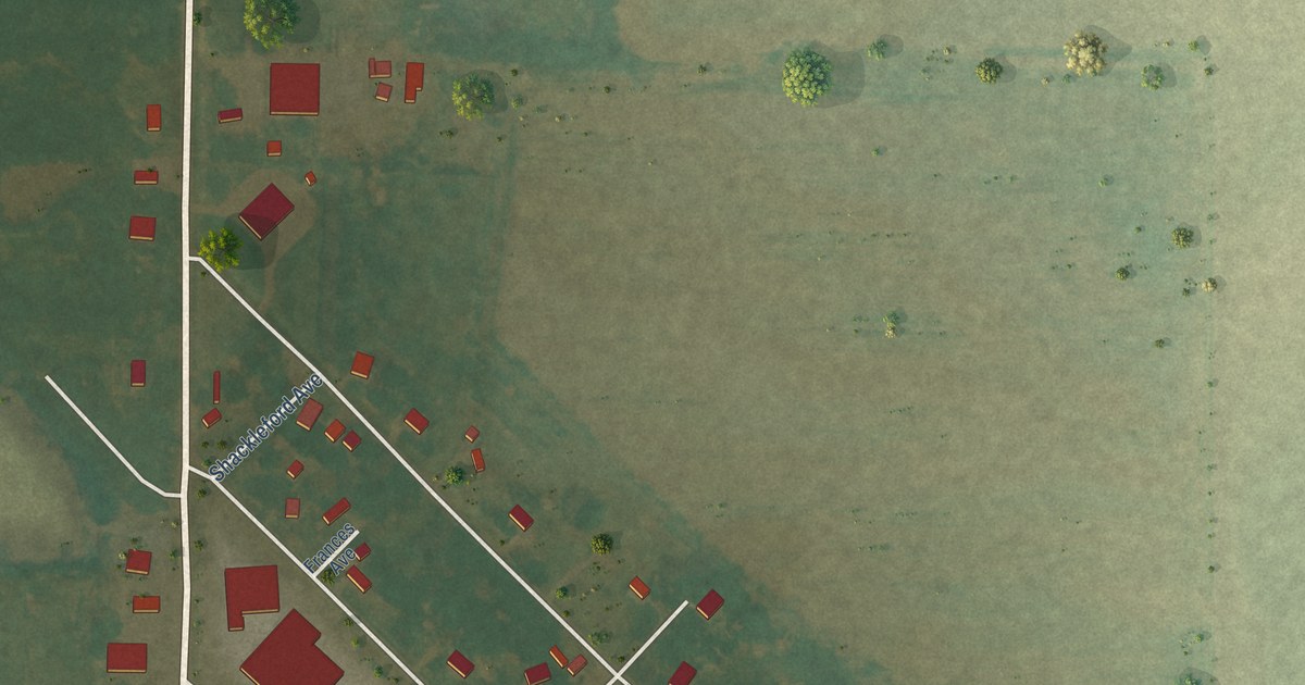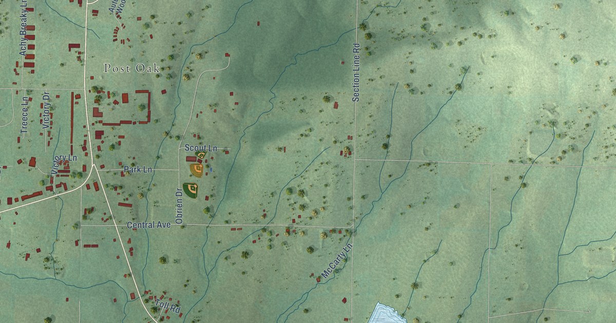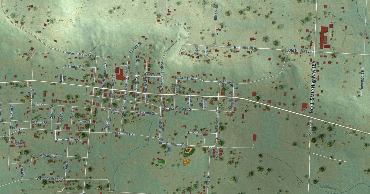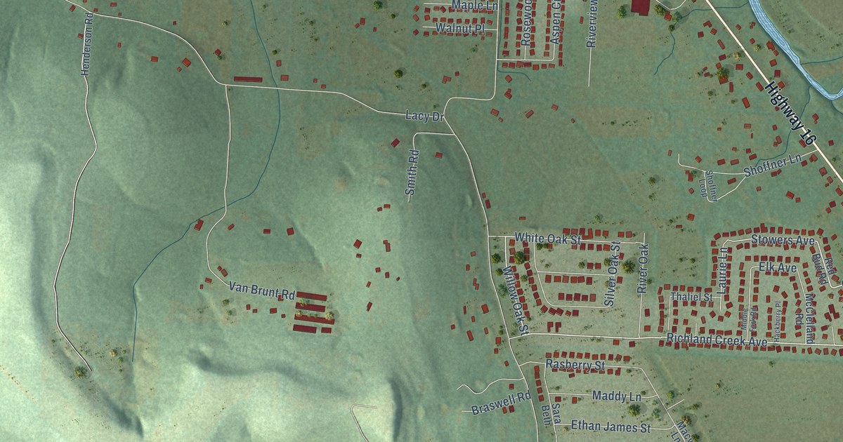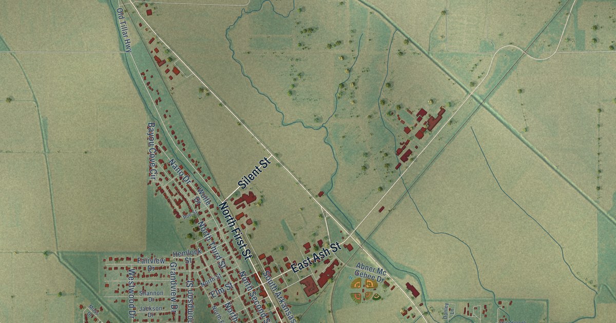
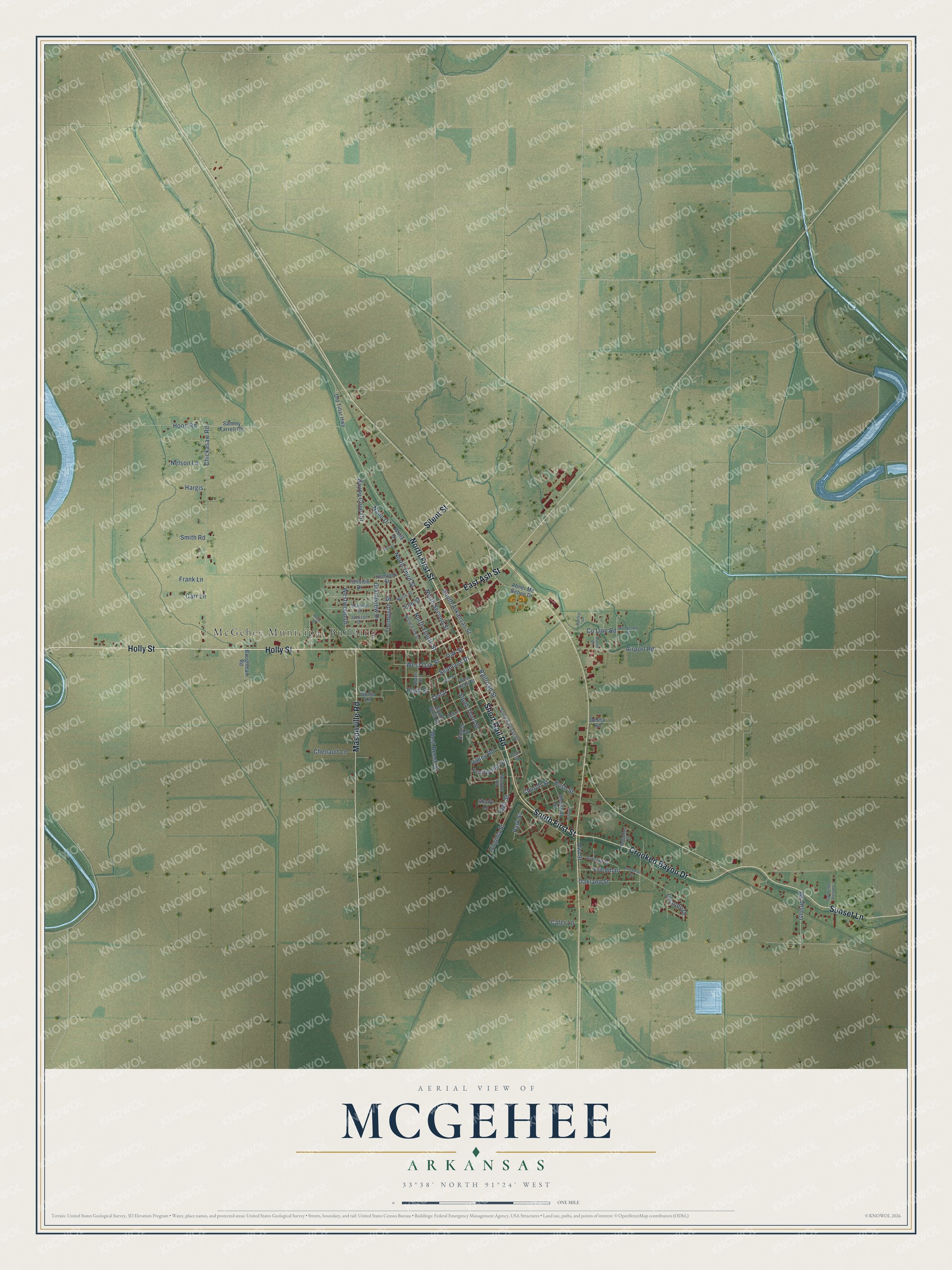
This beautifully detailed map of McGehee, Arkansas was created in 2026 using aerial imagery combined with modern topographical, census, street and landmark data. It's a modern aerial view of McGehee in Desha County, Arkansas, that combines modern data with a vintage aesthetic. The roads feature printed names, and if you look closely you can find your exact house accurately shown in its correct location.
Explore an aerial view of McGehee, Arkansas
On this map you'll find McGehee Municipal Building, North First Street, Silent Street, Holly Street, Short Rail Road, South First Street, Crooked Bayou Drive, Masonville Road, Sunset Lane, East Ash Street, Plum Street, Church Street, and more. Each red shape is a building, so zoom in on the preview and look for yours.
Here is a piece of McGehee history, in the words of the record. The CALS Encyclopedia of Arkansas puts it this way: "One of the first churches was the African Methodist Episcopal Church, followed by the McGehee Methodist Episcopal Church, which was organized in 1905 by the Reverend John Lewis Cannon. On March 5, 1906, McGehee was incorporated into a city and named for Abner McGehee."
McGehee is a city in Desha County.
Take a closer look at the McGehee map
Names on this map
These names are printed on this map.
Places: McGehee Municipal Building.
Streets and roads: North First Street, Silent Street, Holly Street, Short Rail Road, South First Street, Crooked Bayou Drive, Masonville Road, Sunset Lane, East Ash Street, Plum Street, Church Street, South Third Street.
More street names, A to Z
Abner Mc Gehee Drive, Adams Avenue, Airport Road, Armory, Ashcraft Street, Baughman Road, Bayou Cove Circle, Beech Street, Burris Drive, Bush Street, Carr Lane, Cater Lane, Cedar, Chenault Lane, Chickasaw Road, County Line Road, Desha Road, Donley Lane, Elm Street, Fairview Drive, Frank Lane, Friedman, Friedman Street, Fruitwood Drive, Glosup Road, Golf Links View Road, Grandview Drive, Hargis, Hemlock Street, High Street, Hood Road, Jackson Drive, Meadow Road, Moss Drive, Nano Drive, Nelson Lane, North Fifth Street, North Fourth Street, North Second Street, North Street, North Third Street, Oakland Street, Oak Street, Old Tillar Highway, Orlando Drive, Owl Street, Park Street, Pear Street, Pine Street, Poe Street, Poplar Street, Railroad Street, Reynolds Drive, Sammy Farrell Road, Seamans Drive, Shady Lane, Shannon Drive, Sherland Street, Smith Road, Sonja Lane, South Arkansas Street, South Railroad Street, South Sixth Street, Thompson Street, Valley Road, Virginia Street, West Beech Street, West Cedar Street, West Oak Street, Westwood Drive, Wolfe Drive, Woodstock Street.
Created by KNOWOL in 2026. The buildings are small red shapes, the roads carry their printed names, and shaded relief shows the shape of the land. The title panel reads "AERIAL VIEW OF MCGEHEE ARKANSAS" with 33°38' NORTH 91°24' WEST.
It suits a den, a classroom or a front hall, and it makes a gift for anyone with McGehee roots. Open the preview and find the block you know. See sizes and frames for the McGehee map.