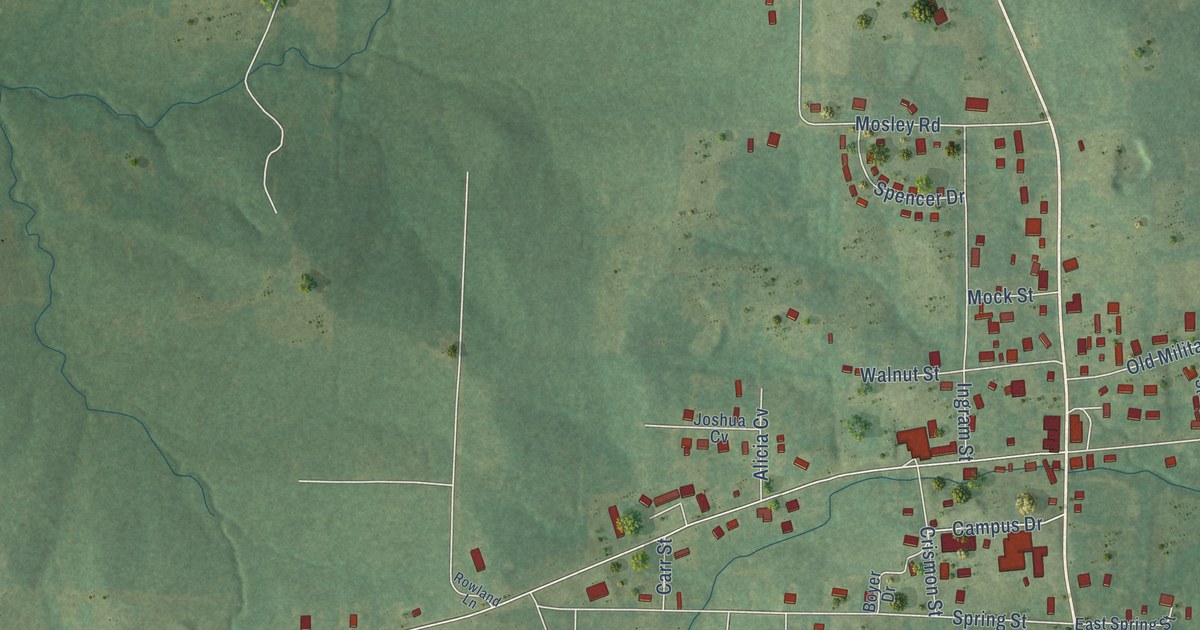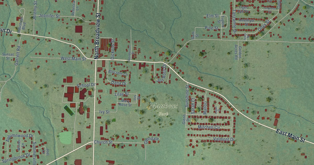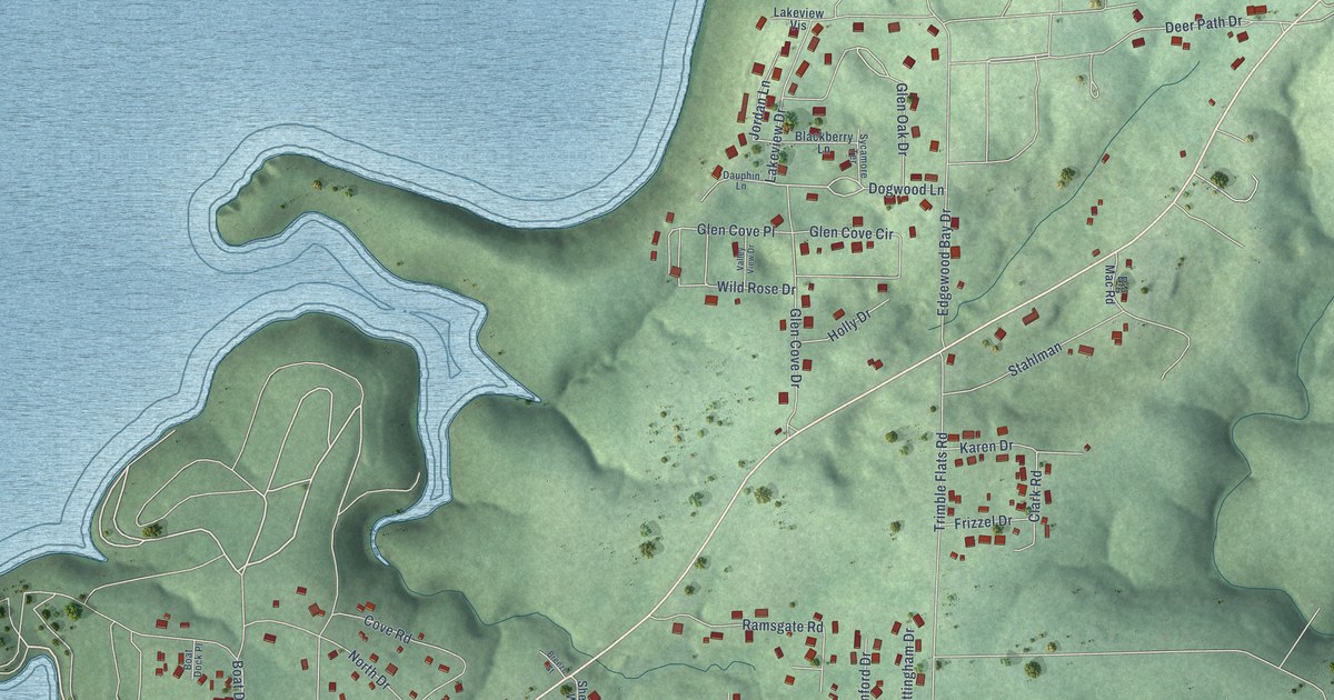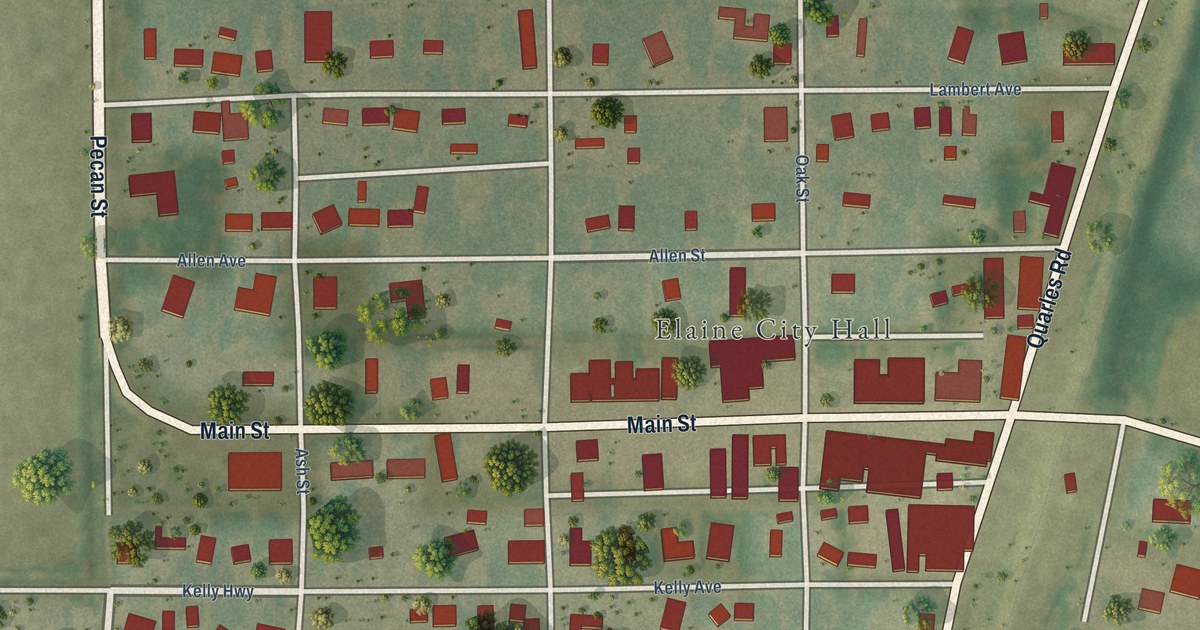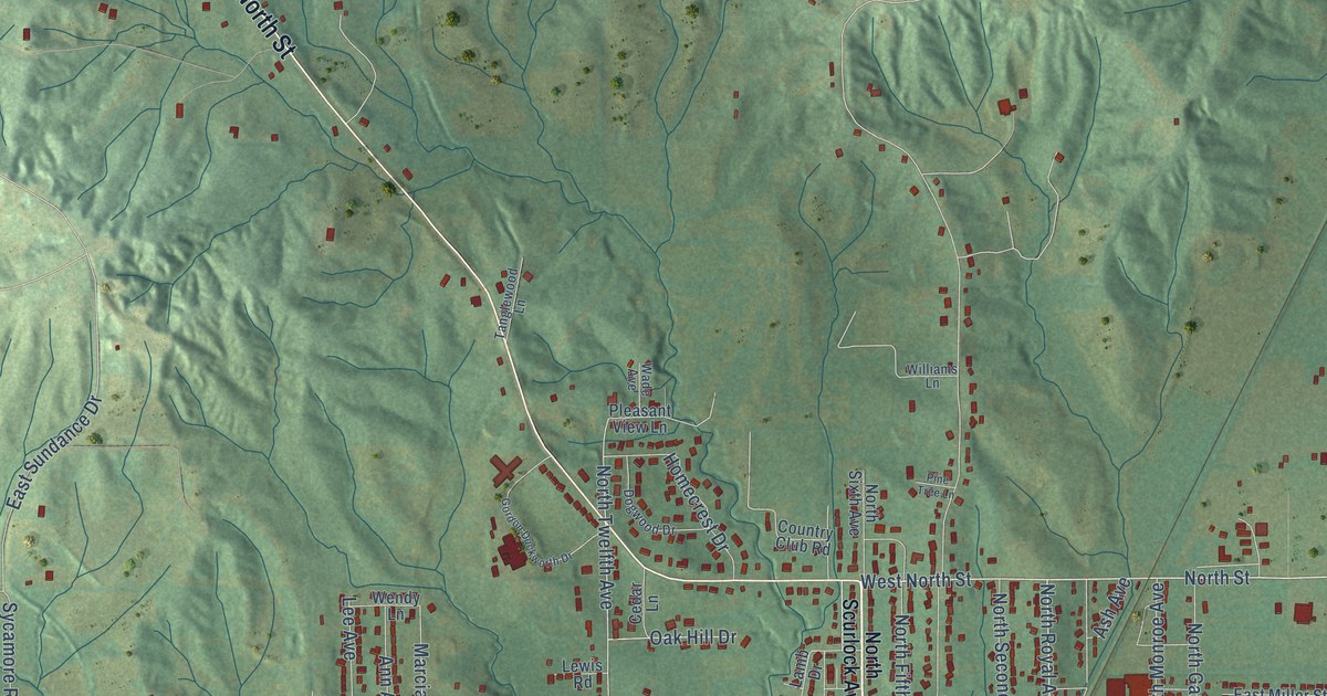
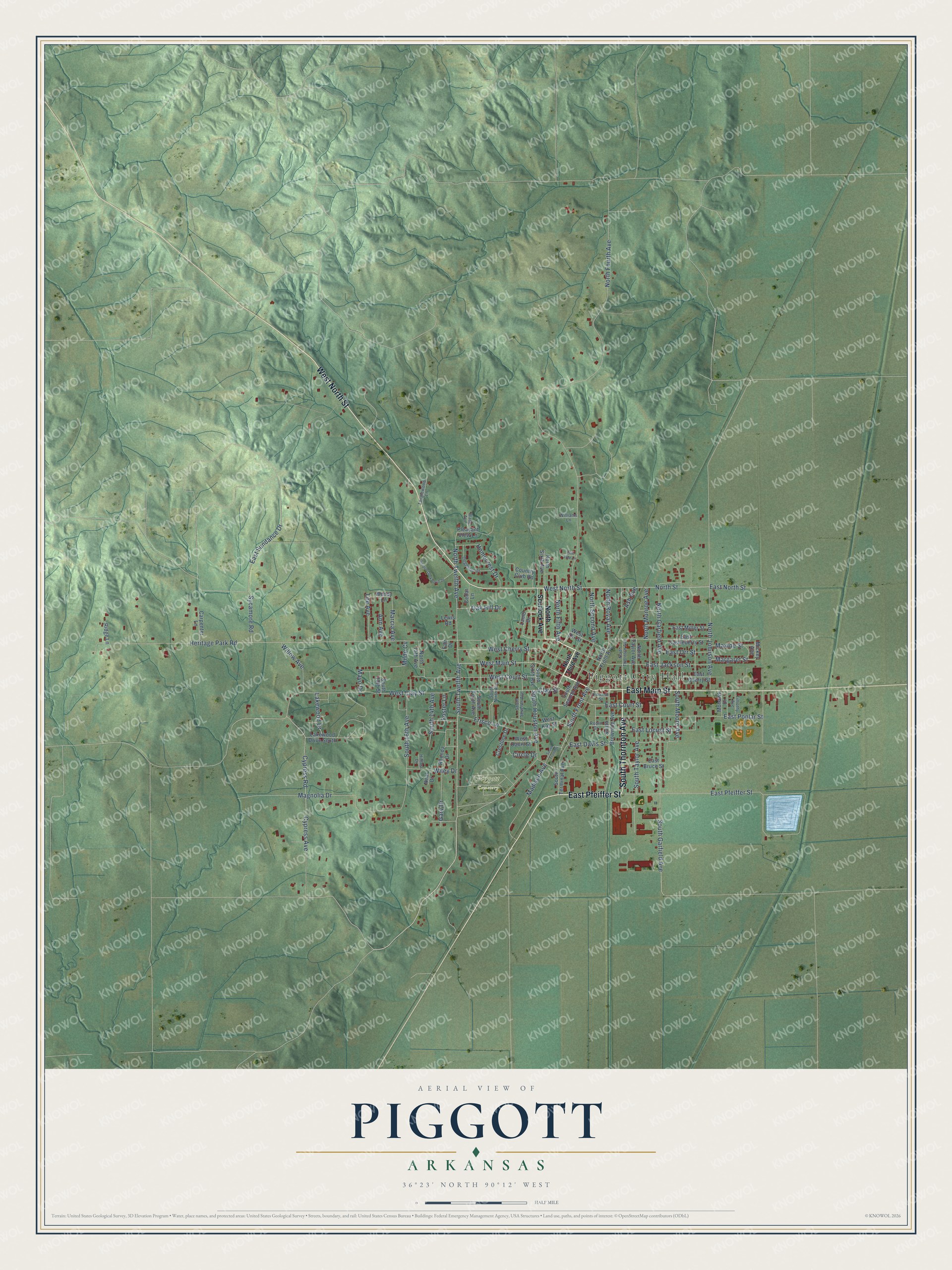
This beautifully detailed map of Piggott, Arkansas was created in 2026 using aerial imagery combined with modern topographical, census, street and landmark data. It's a modern aerial view of Piggott in Clay County, Arkansas, that combines modern data with a vintage aesthetic. The roads feature printed names, and if you look closely you can find your exact house accurately shown in its correct location.
Explore an aerial view of Piggott, Arkansas
On this map you'll find Piggott City Hall, Piggott Cemetery, East Pfeiffer Street, South Thornton Avenue, West North Street, East Main Street, West Main Street, North Street, North Royal Avenue, South Twelfth Avenue, South Front Avenue, North Twelfth Avenue, and more. Each red shape is a building, so zoom in on the preview and look for yours.
Every town has a first chapter, and Piggott is no exception. The Encyclopedia of Arkansas puts it this way: "Established in 1882, the town had its origins in 1873, when Dr. James A. Piggott and some of his pioneering neighbors from Dow, Illinois, settled near the current town site. While Piggott was respected as a doctor, he endeared himself even more to his neighbors by successfully petitioning for a post office for the remote settlement."
Piggott is a city in Clay County.
Take a closer look at the Piggott map
Names on this map
These names are printed on this map.
Places: Piggott City Hall and Piggott Cemetery.
Streets and roads: East Pfeiffer Street, South Thornton Avenue, West North Street, East Main Street, West Main Street, North Street, North Royal Avenue, South Twelfth Avenue, South Front Avenue, North Twelfth Avenue, West Clay Street, South Taylor Avenue.
More street names, A to Z
Ann Avenue, Ash Avenue, Carpenter Lane, Cedar Lane, Circle Drive, Clay Street, Country Club Road, Crestline Drive, Cypress Avenue, Cypress Road, Dogwood Drive, East Bruce Street, East Castleberry Street, East Cherry Street, East Court Street, East Davis Street, East Jackson Street, East Locust Street, East Miller Street, East North Street, East Orr Street, East Poplar Street, East Sundance Drive, Fair Drive, Forrest Street, Foster Lane, Frisco Lane, Gary Drive, Gordon Duckworth Drive, Heritage Park Road, Hilltop Drive, Homecrest Drive, Lakewood Drive, Lakewood Drive South, Lamb Drive, Lee Avenue, Lewis Road, Madison Avenue, Magnolia Drive, Marcia Avenue, Margaret Street, Maxine Street, Mayo Drive, Mickey Avenue, Milde Cv, Mohawk Drive, Neal Drive, North 15th Avenue, North Fifth Avenue, North Fourth Avenue, North Front Avenue, North Garfield Avenue, North Johnson Avenue, North Monroe Avenue, North Scurlock Avenue, North Second Avenue, North Sixth Avenue, North Taylor Avenue, North Third Avenue, North Thornton Avenue, Oak Hill Drive, Pine Tree Lane, Pleasant View Lane, Rhonda Drive, Ridge Lane, Robin Drive, South 14th Avenue, South 16th Avenue, South 18th Street, South Browning Avenue, South Front Street, South Garfield Avenue, South Houston Avenue, South Moore Avenue, South Ninth Avenue, South Second Avenue, South Seventh Avenue, South Sixth Avenue, South Tenth Avenue, South Terminal Avenue, Sycamore Road, Tanglewood Lane, Timothy Avenue, Wade Avenue, Wendy Lane, West Cherry Street, West Court Street, West Davis Street, West Kay Street, West Orr Street, Wiley Drive, Williams Lane, Willow Avenue.
Created by KNOWOL in 2026. The buildings are small red shapes, the roads carry their printed names, and shaded relief shows the shape of the land. The title panel reads "AERIAL VIEW OF PIGGOTT ARKANSAS" with 36°23' NORTH 90°12' WEST.
Hang it in the hallway, the office or the cabin, or give it to someone who left Piggott and still calls it home. Open the preview and look for a street you know. See sizes and frames for the Piggott map.