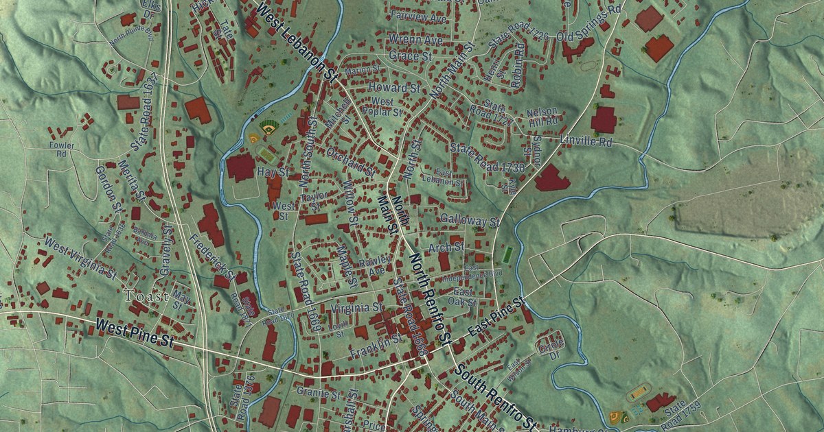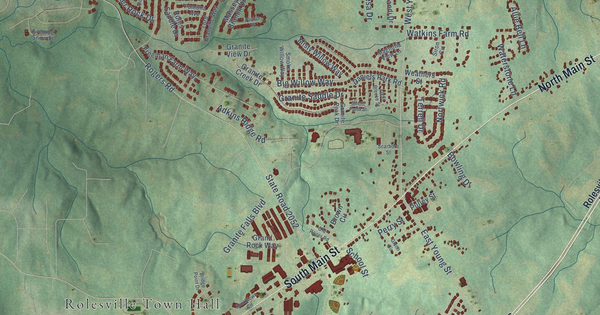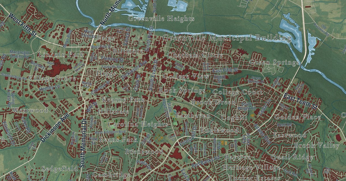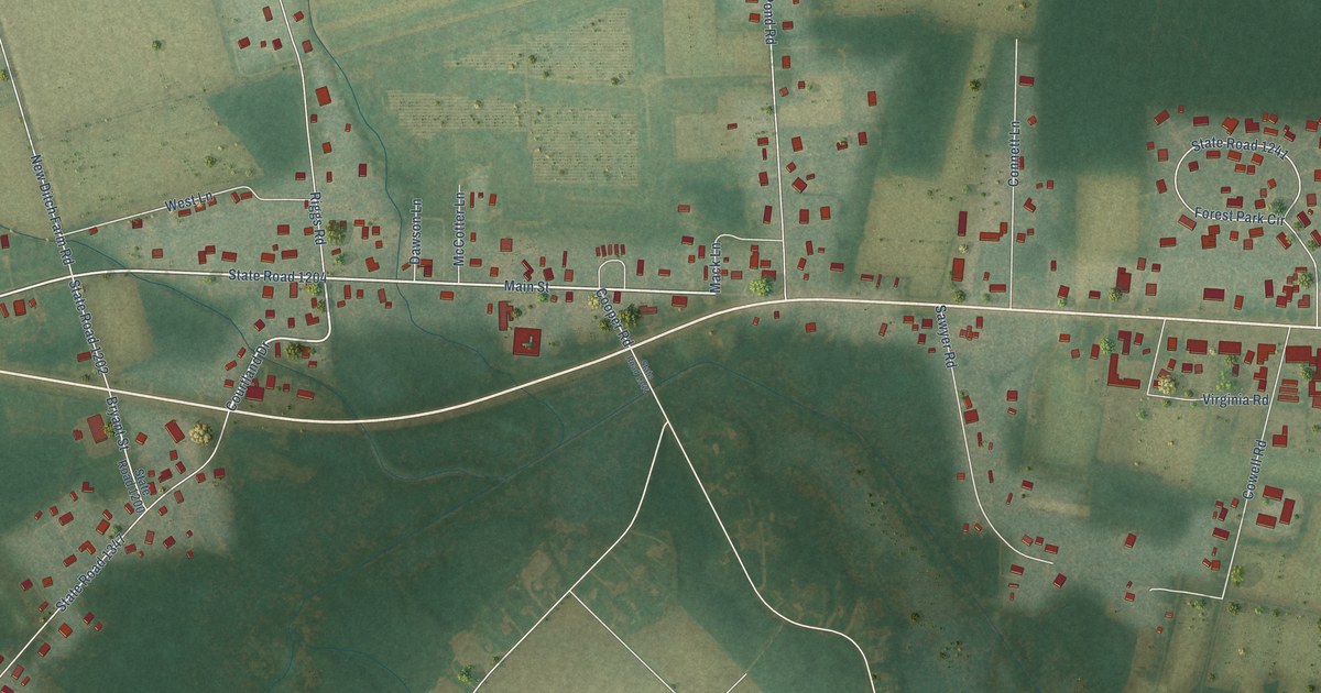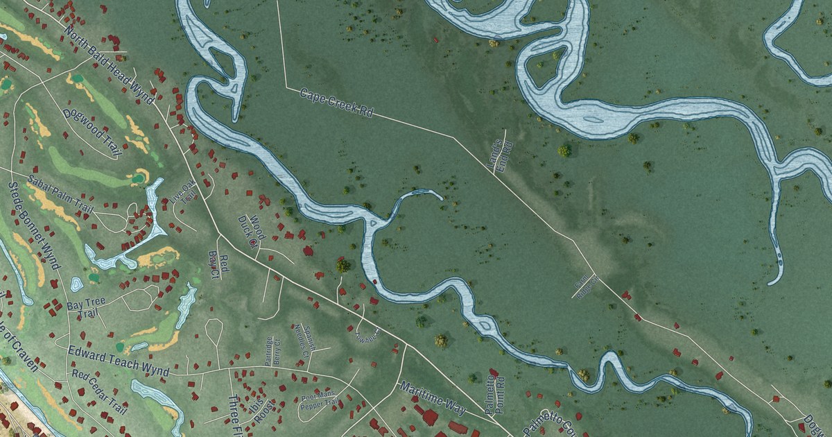
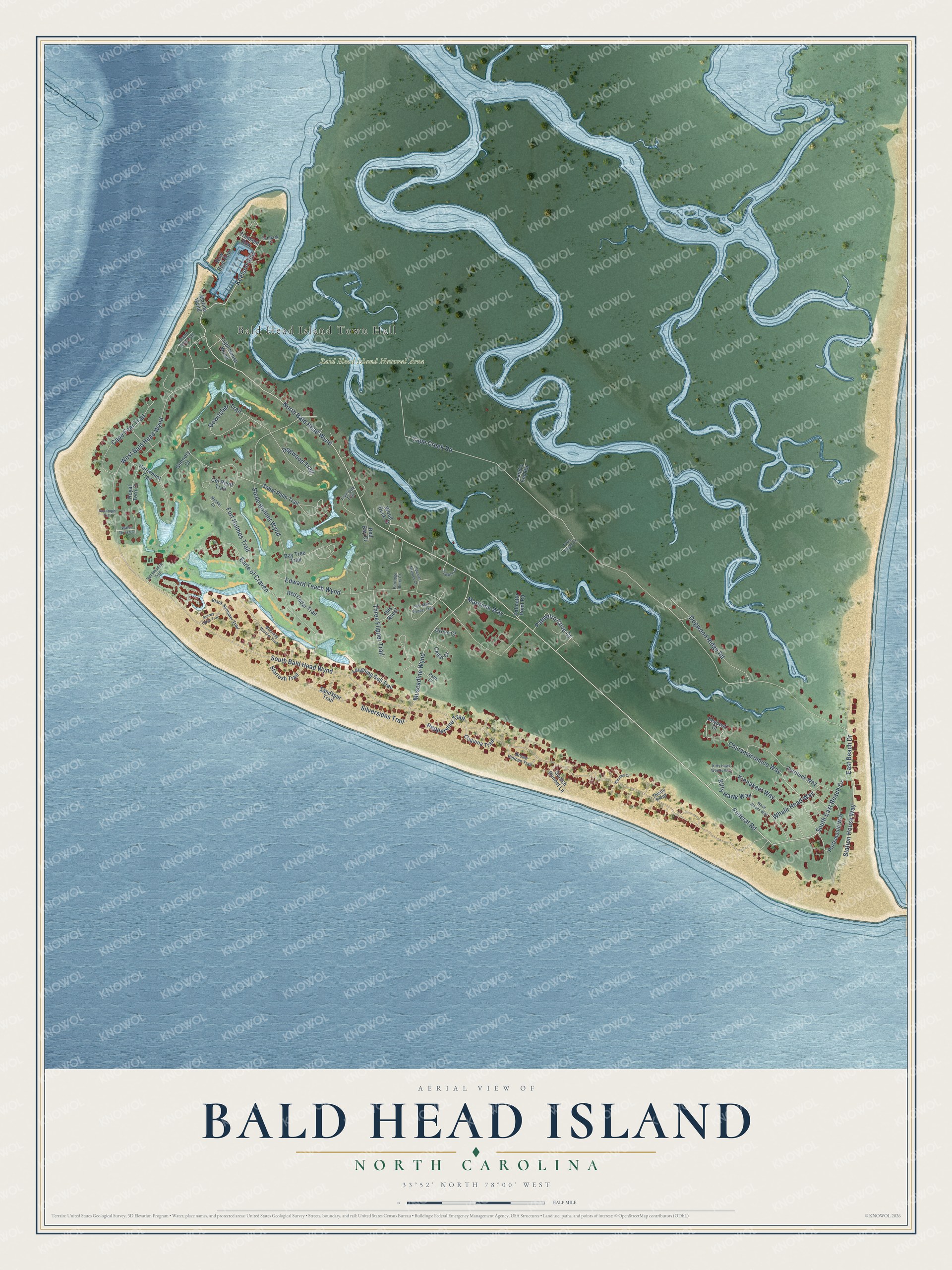
This beautifully detailed map of Bald Head Island, North Carolina was created in 2026 using aerial imagery combined with modern topographical, census, street and landmark data. It's a modern aerial view of Bald Head Island in Brunswick County, North Carolina, that combines modern data with a vintage aesthetic. The roads feature printed names, and if you look closely you can find your exact house accurately shown in its correct location.
Explore an aerial view of Bald Head Island, North Carolina
On this map you'll find Bald Head Island Town Hall, Bald Head Island Natural Area, Federal Road, North Bald Head Wynd, South East Beach Drive, Keelson Row, Muscadine Wynd, Station House Way, Fort Holmes Trail, Chicamacomico Way, Dowitcher Trail, South Bald Head Wynd, and more. Each red shape is a building, so zoom in on the preview and look for yours.
Here is a piece of Bald Head Island history, in the words of the record. The NC Highway Historical Marker Program puts it this way: "The lighthouse on Bald Head Island, planning for which began in 1783, was the first one authorized in North Carolina (the second was Ocracoke for which planning began in 1784)."
Bald Head Island is a village in Brunswick County. The Census Bureau counted 268 people here in 2020.
Take a closer look at the Bald Head Island map
Names on this map
These names are printed on this map.
Places: Bald Head Island Town Hall and Bald Head Island Natural Area.
Streets and roads: Federal Road, North Bald Head Wynd, South East Beach Drive, Keelson Row, Muscadine Wynd, Station House Way, Fort Holmes Trail, Chicamacomico Way, Dowitcher Trail, South Bald Head Wynd, Cape Creek Road, Stede Bonnet Wynd.
More street names, A to Z
Bay Tree Trail, Black Skimmer Trail, Brown Pelican Trail, Cape Fear Trail, Cedar Court, Col Rhett Trail, Coquina Trail, Currituck Way, Dogwood Ridge Road, Dogwood Trail, Earle of Craven, East Beach Drive, Edward Teach Wynd, Farm Ridge Circle, Green Teal Trail, Grove Court, Gunnery Court, Horsemint Trail, Ibis Roost, Keypost Court, Kinnakeet Way, Kinross Court, Kitty Hawk Way, Kitty Hawk Woods Way, Land's End Road, Laughing Gull Trail, Light House Wynd, Live Oak Trail, Marina Wynd, Maritime Way, Mourning Warbler Trail, Musket Court, Palm Court, Palmetto Cove Court, Palmetto Point Road, Partridge Berry Court, Peppervine Trail, Poor Mans Pepper Trail, Portsmouth Way, Red Bay Court, Red Cedar Trail, Row Boat Row, Royal Tern Court, Sabal Palm Trail, Salt Meadow Trail, Sandpiper Trail, Sandspur Trail, Scotch Bonnet Lane, Silversides Trail, Snowy Egret Trail, Spanish Needles Court, Starrush Trail, Tanbark Court, Thistle Ridge, Three Flipper Trail, Towhee Court, Transom Row, Wash Woods Way, Water Thrush Court, West Bald Head Wynd, Whale Head Way, Wood Duck Court.
Created by KNOWOL in 2026. The buildings are small red shapes, the roads carry their printed names, and shaded relief shows the shape of the land. The title panel reads "AERIAL VIEW OF BALD HEAD ISLAND NORTH CAROLINA" with 33°52' NORTH 78°00' WEST.
It suits a den, a classroom or a front hall, and it makes a gift for anyone with Bald Head Island roots. Open the preview and find the block you know. See sizes and frames for the Bald Head Island map.