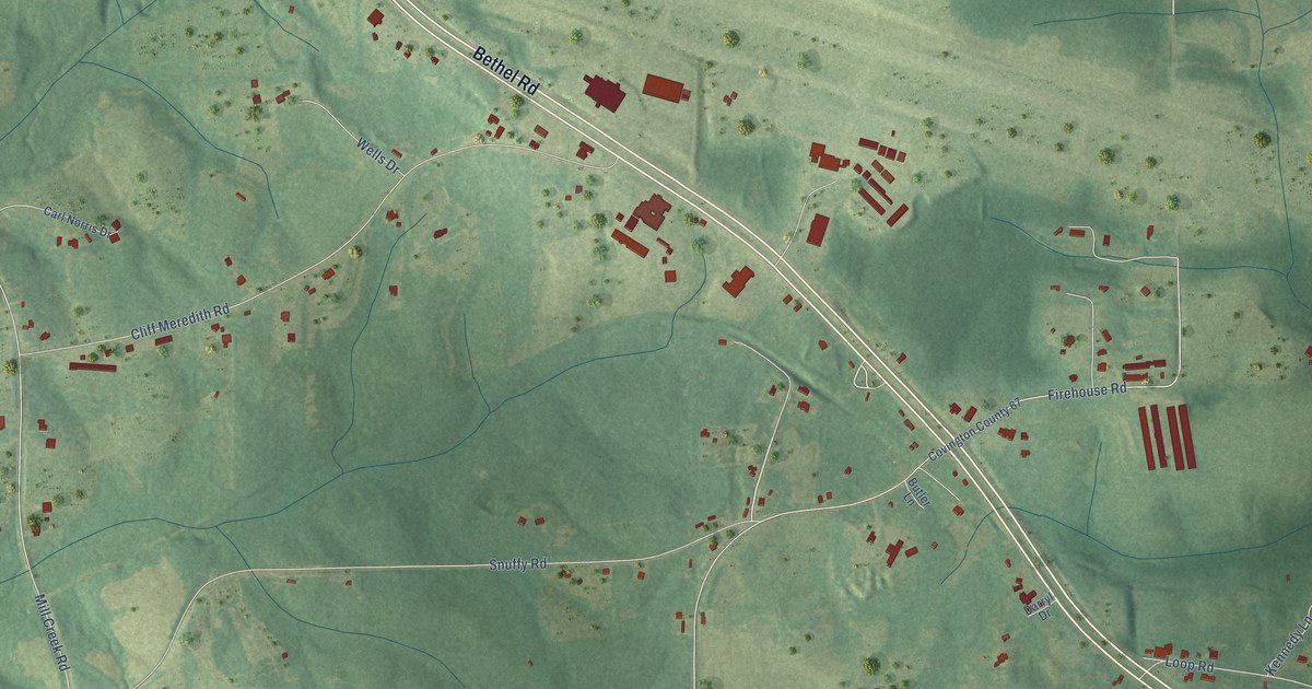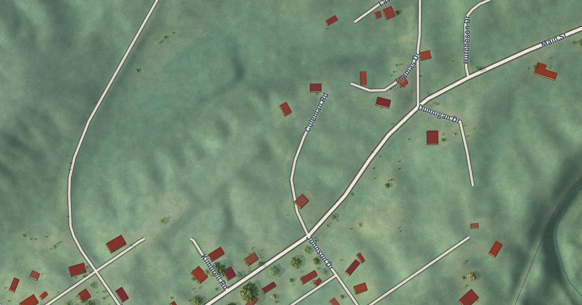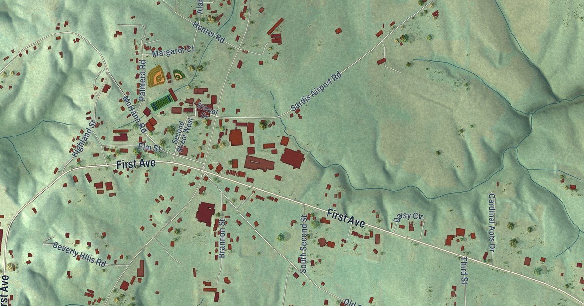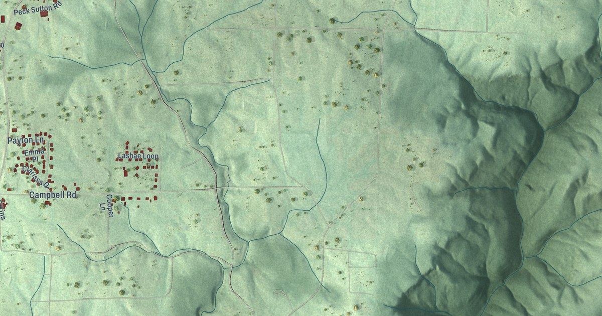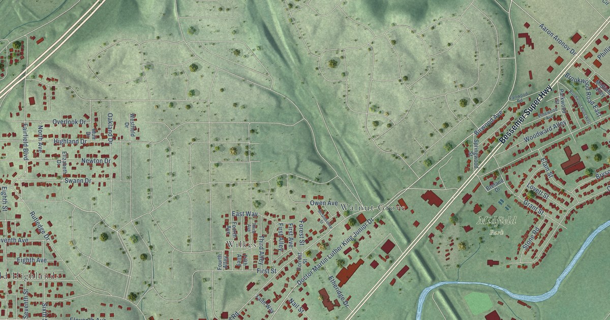
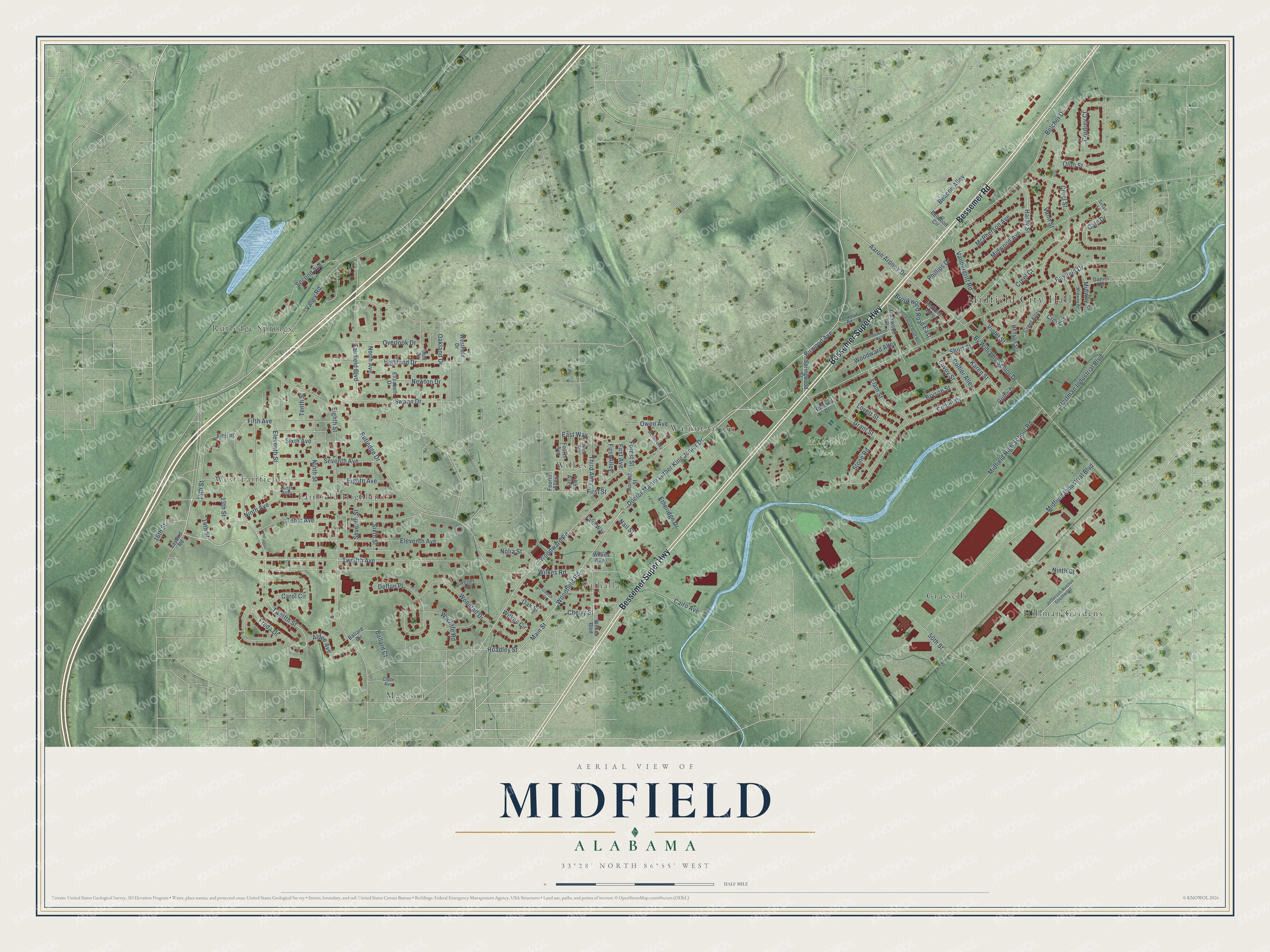
This beautifully detailed map of Midfield, Alabama was created in 2026 using aerial imagery combined with modern topographical, census, street and landmark data. It's a modern aerial view of Midfield in Jefferson County, Alabama, that combines modern data with a vintage aesthetic. The roads feature printed names, and if you look closely you can find your exact house accurately shown in its correct location.
Explore an aerial view of Midfield, Alabama
On this map you'll find Midfield City Hall, Midfield Park, Fairfield Highlands, Grasselli, Hillman Gardens, Madison, Rutledge Springs, Valhalla, Walnut Grove, West Fairfield, Wilkes, Bessemer Super Highway, and more. Each red shape is a building, so zoom in on the preview and look for yours.
Every town has a first chapter, and Midfield is no exception. The record at encyclopediaofalabama.org puts it this way: "Midfield schools are part of the Midfield City School System, which consists of one elementary school, one middle school, and one high school."
Midfield is a city in Jefferson County. The Census Bureau counted 5,211 people here in 2020.
Take a closer look at the Midfield map
Names on this map
These names are printed on this map.
Places: Midfield City Hall, Midfield Park, Fairfield Highlands, Grasselli, Hillman Gardens, Madison, Rutledge Springs, Valhalla, Walnut Grove, West Fairfield and Wilkes.
Streets and roads: Bessemer Super Highway, Bessemer Road, 15th Street, Fifth Avenue, Twelfth Avenue, Doctor Martin Luther King Junior Drive, Twelfth Street, Woodward Road, Woodfield Road, Gale Drive, Rutledge Drive, By Williams Senior Drive.
More street names, A to Z
13th Street, 14th Street, 16th Street, 50th Street, Aaron Aronov Drive, Alden Avenue, Ballard Circle, Ballard Court, Beacon Alley, Belcher Drive, Belwood Circle, Birwood Avenue, Breland Drive, Brookwood Road East, Brookwood Road West, Bryson Street, Cairo Avenue, Carol Circle, Cherry Street, Church Street, Clyde Avenue, Collier Alley, Collier Drive, Cordrey Court, Creel Alley, Creel Court, Creel Street, Cross Street, Daniel Drive, Delton Place, East Way, Eighth Avenue, Eighth Street, Elam Street, Eleventh Avenue, Eleventh Street, Elizabeth Drive, Etheridge Drive, Fairfield Boulevard, Fairwood Road, Faith Way, Fifth Alley, Fifth Place, First Alley, First Avenue, First Street, Forest Street, Forrest Street, Fourth Alley, Fourth Avenue, Freda Drive, Grant Street, Griffin Drive, Hardy Street, Hartman Industrial Boulevard, Henson Street, Highland Drive, Hoadley Street, Jaybird Road, Jefferson Avenue Southwest, Karen Street, Lovett Street, Lovoy Street, Main Street, McGibboney Street, McPherson Avenue, Midfield Alley, Midfield High School Road, Midfield Industrial Boulevard, Midway Alley, Midway Street, Midwood Avenue, Muir Drive, Nail Street, Newton Drive, Ninth Alley, Ninth Avenue, Ninth Court, Ninth Street, Nolia Street, North Avenue, Oakland Drive, Oak Street, Olon Street, Overlook Drive, Owen Avenue, Parkwood Street, Phillips Drive, Pinewood Avenue, Rayfield Drive, Second Avenue, Seventh Avenue, Seventh Street, Short Street, Sixth Avenue, Sixth Street, Springwood Street, Stone Road, Susan Lane, Swann Drive, Tenth Avenue, Tenth Street, Third Alley, Third Avenue, Valley Road, Vandergrift Road, Vann Street, Violet Street, Wesley Drive, Westfield Drive, Wilkes Alley, Wilkes Boulevard, Wilkes Circle, Wilkes Road, Woodfall Drive, Woodward Alley, Wycliffe Road.
Created by KNOWOL in 2026. The buildings are small red shapes, the roads carry their printed names, and shaded relief shows the shape of the land. The title panel reads "AERIAL VIEW OF MIDFIELD ALABAMA" with 33°28' NORTH 86°55' WEST.
Hang it in the hallway, the office or the cabin, or give it to someone who left Midfield and still calls it home. Open the preview and look for a street you know. See sizes and frames for the Midfield map.