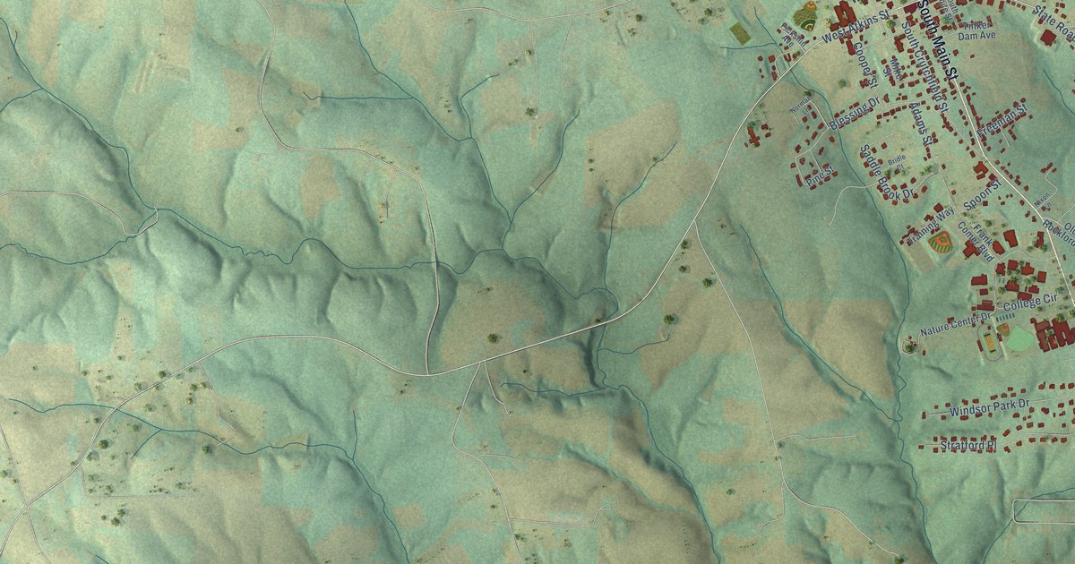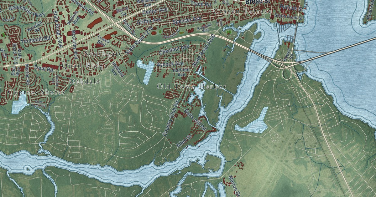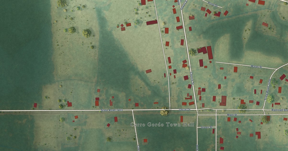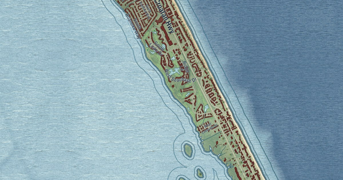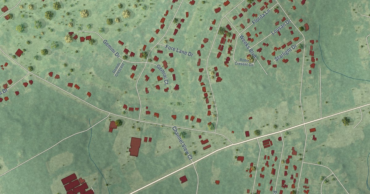
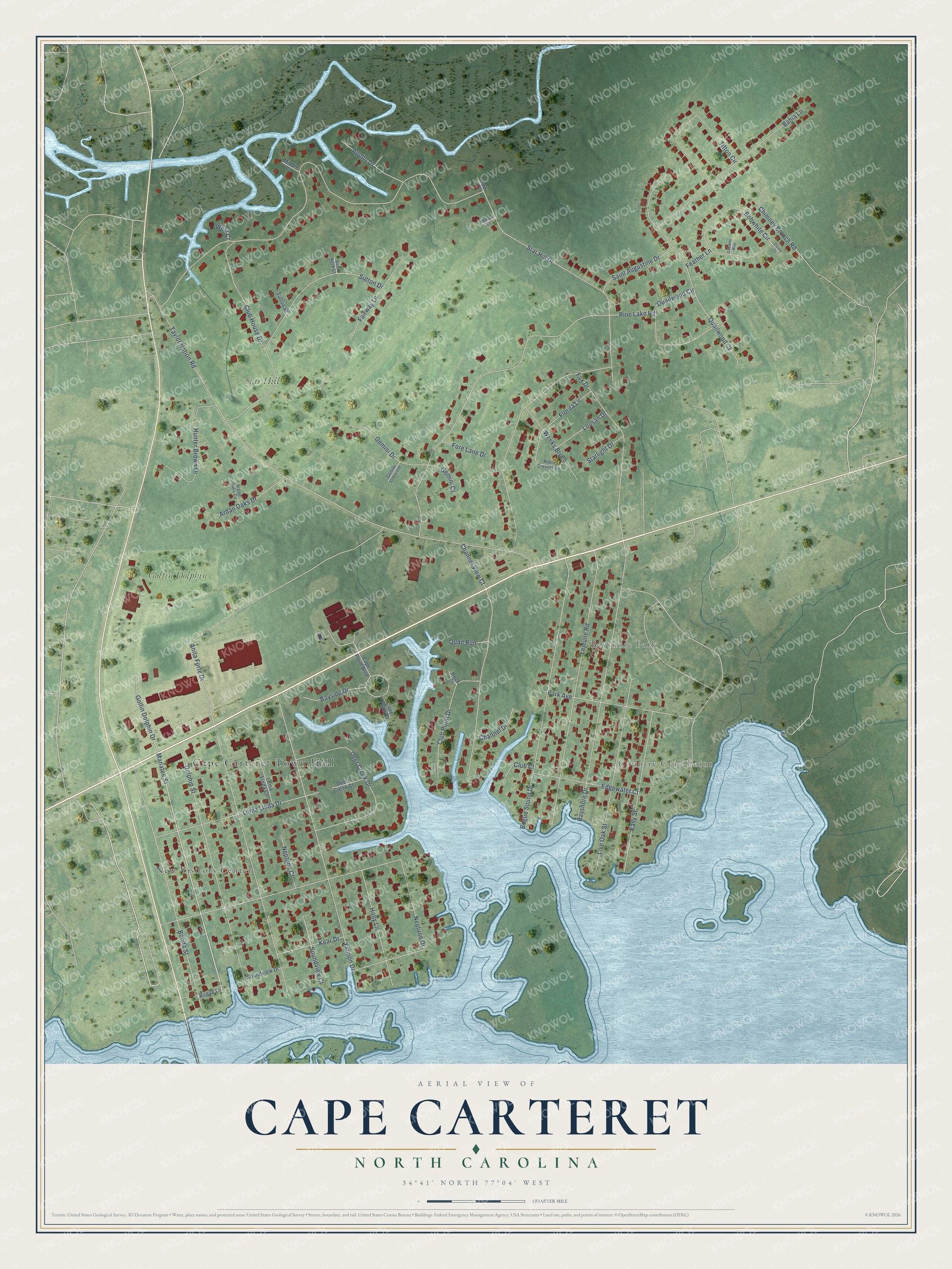
This beautifully detailed map of Cape Carteret, North Carolina was created in 2026 using aerial imagery combined with modern topographical, census, street and landmark data. It's a modern aerial view of Cape Carteret in Carteret County, North Carolina, that combines modern data with a vintage aesthetic. The roads feature printed names, and if you look closely you can find your exact house accurately shown in its correct location.
Explore an aerial view of Cape Carteret, North Carolina
On this map you'll find Cape Carteret Town Hall, Country Club Point, Bayshore Park, New Visitors Center, Golfin Dolphin, Star Hill, Manatee Street, Star Hill Drive, Taylor Notion Road, Neptune Drive, Pine Lake Road, Anita Forte Drive, and more. Each red shape is a building, so zoom in on the preview and look for yours.
Cape Carteret is a town in Carteret County. The Census Bureau counted 2,224 people here in 2020. The map prints the town name in its title panel, with the coordinates below it.
Take a closer look at the Cape Carteret map
Names on this map
These names are printed on this map.
Places: Cape Carteret Town Hall, Country Club Point, Bayshore Park, New Visitors Center, Golfin Dolphin and Star Hill.
Streets and roads: Manatee Street, Star Hill Drive, Taylor Notion Road, Neptune Drive, Pine Lake Road, Anita Forte Drive, Yaupon Drive, Bayshore Drive, Lejeune Road, Bogue Sound Drive, Dolphin Street, Channel View Court.
More street names, A to Z
Apollo Drive, Ardan Oaks Circle, Ardan Oaks Drive, Bahia Lane, Bayside Drive, Bobwhite Circle, Bogue Lane, Bonita Street, Cape Point Boulevard, Cape Point Court, Channel Drive, Chimney Branch Road, Club Court, Club House Drive, Club Point Drive, Covey Court, Deer Creek Court, Deer Creek Drive, Easy Street, Edgewater Court, Fairway Lane, Feather Lane, Florita Lane, Fore Lane Drive, Fox Drive, Gambrel Way, Gemini Court, Gemini Crescent, Gemini Drive, Golfin Dolphin Drive, Holly Lane, Hunter Brown Drive, Kear Drive, Live Oak Street, Loma Linda Court, Loma Linda Drive, Lousan Drive, Mercury Court, Middle Court, Neptune Court, Park Avenue, Park Court, Quail Neck Court, Quail Run, Quailwood Circle, Quailwood Court, Robin Cresent Circle, Rock Court, Saint Augustine Drive, Soundview Court, Soundview Drive, Starlight Drive, Sutton Drive, Sutton Place, Tifton Circle, Weeks Boulevard, West Court.
Created by KNOWOL in 2026. The buildings are small red shapes, the roads carry their printed names, and shaded relief shows the shape of the land. The title panel reads "AERIAL VIEW OF CAPE CARTERET NORTH CAROLINA" with 34°41' NORTH 77°04' WEST.
It suits a den, a classroom or a front hall, and it makes a gift for anyone with Cape Carteret roots. Open the preview and find the block you know. See sizes and frames for the Cape Carteret map.