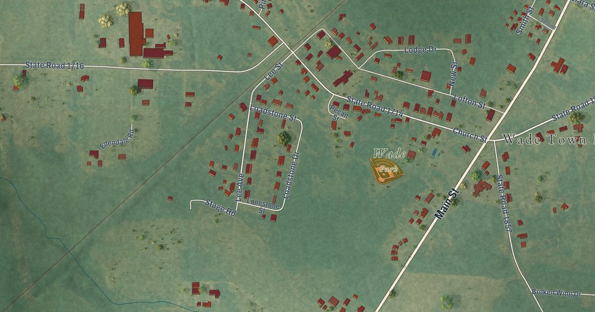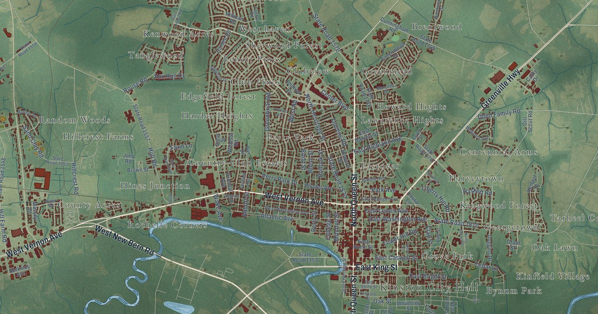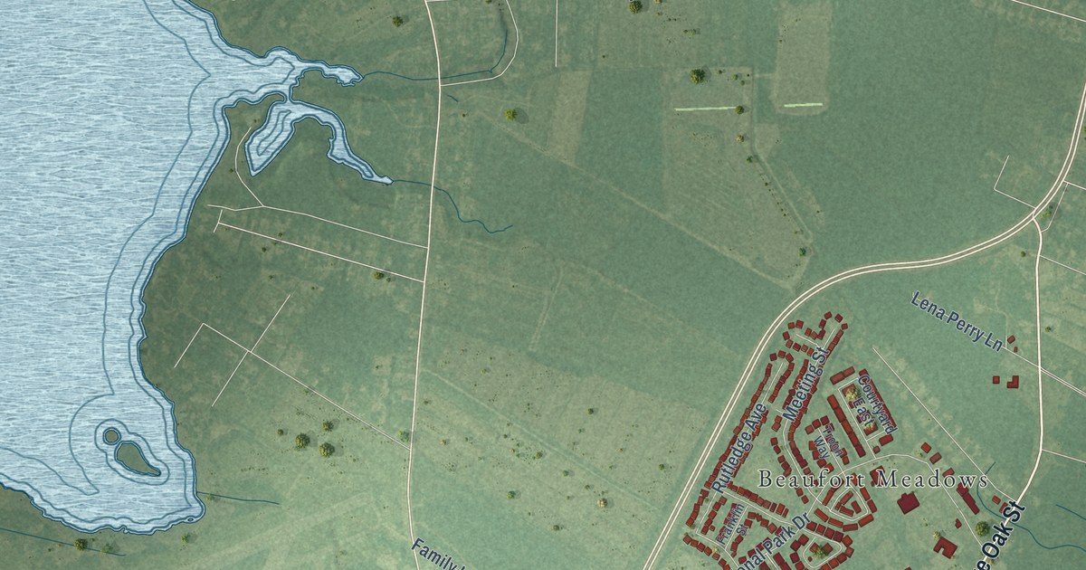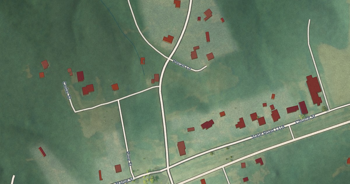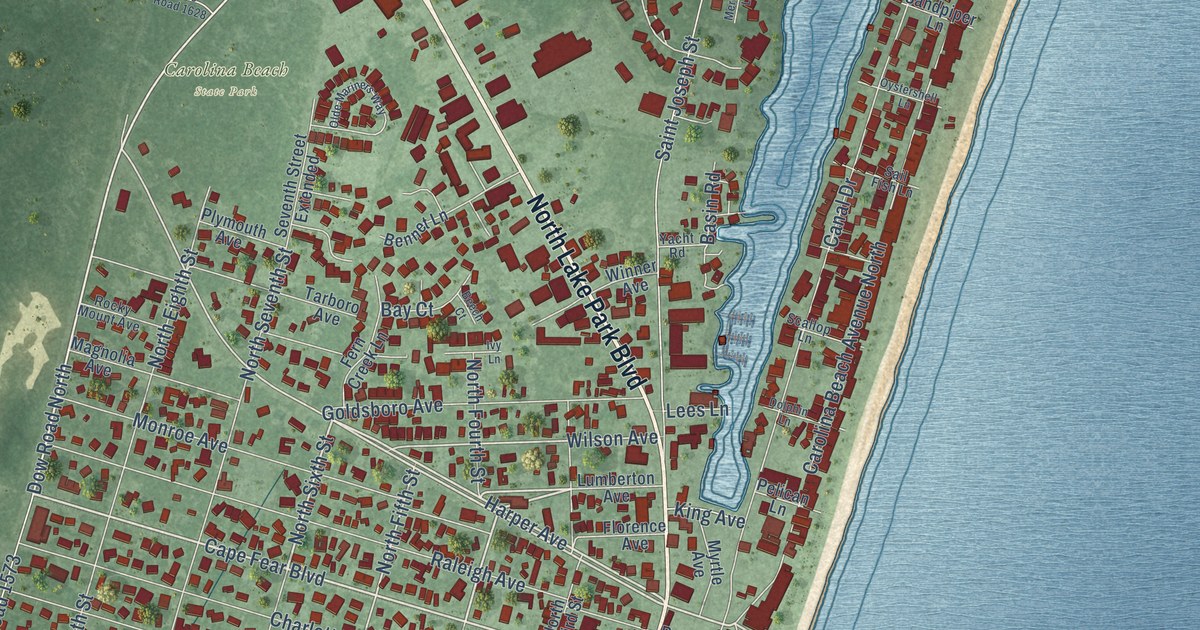
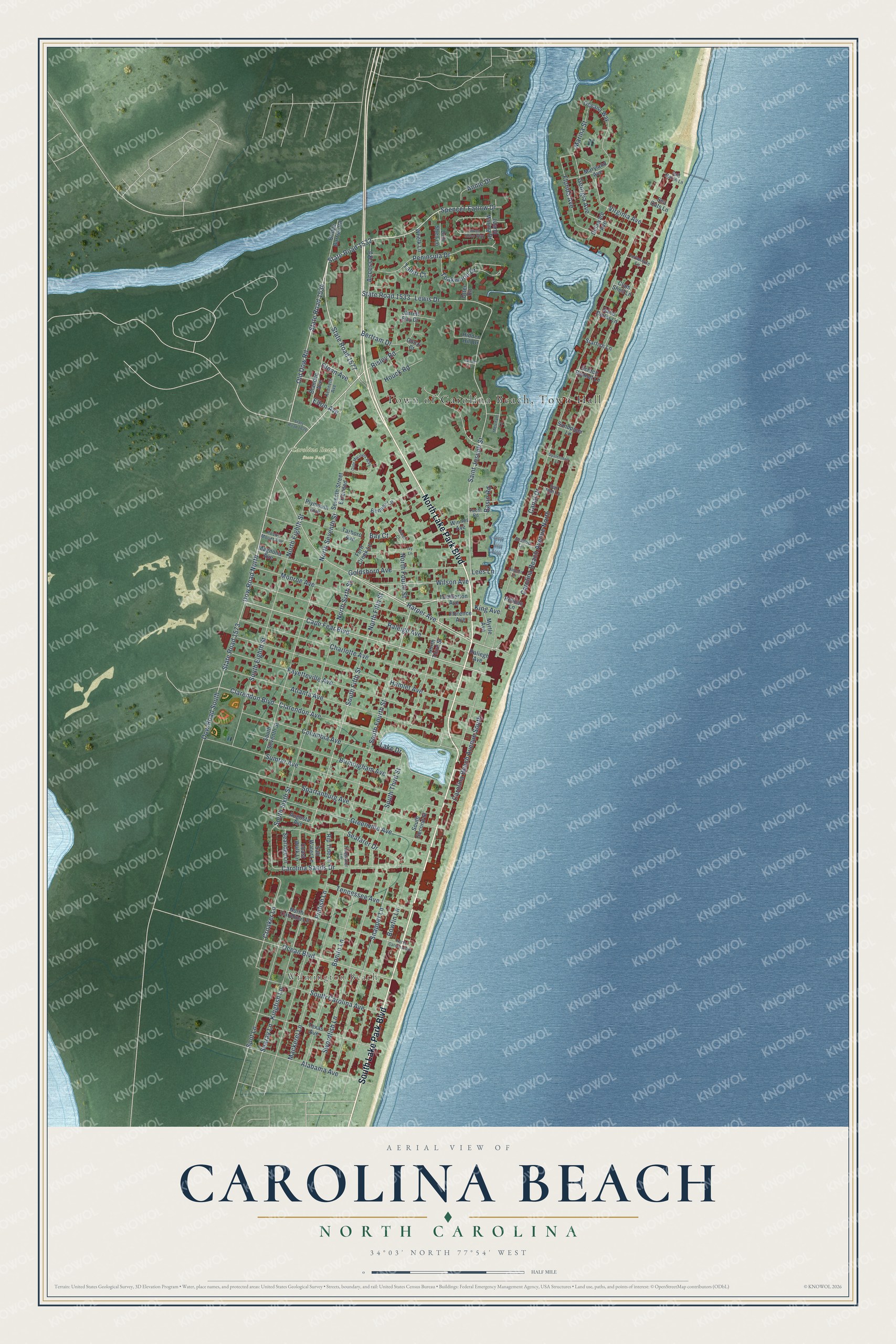
This beautifully detailed map of Carolina Beach, North Carolina was created in 2026 using aerial imagery combined with modern topographical, census, street and landmark data. It's a modern aerial view of Carolina Beach in New Hanover County, North Carolina, that combines modern data with a vintage aesthetic. The roads feature printed names, and if you look closely you can find your exact house accurately shown in its correct location.
Explore an aerial view of Carolina Beach, North Carolina
On this map you'll find Town of Carolina Beach, Town Hall, Wilmington Beach, Carolina Beach State Park, North Lake Park Boulevard, South Lake Park Boulevard, Cape Fear Boulevard, Spencer-Farlow Drive, State Road 1577, Dow Road North, Harper Avenue, Old Dow Road, State Road 1534, and more. Each red shape is a building, so zoom in on the preview and look for yours.
Here is a piece of Carolina Beach history, in the words of the record. The North Carolina Gazetteer puts it this way: "Carolina Beach town in SE New Hanover County on the Atlantic Ocean. Alt. 5. Settled about 1885; inc. 1925. Sugar Loaf, a former community at or near the site, was the scene of an engagement between Confederate and Union forces after the capitulation of Fort Fisher, January 15, 1865."
Carolina Beach is a town in New Hanover County. The Census Bureau counted 6,564 people here in 2020.
Take a closer look at the Carolina Beach map
Names on this map
These names are printed on this map.
Places: Wilmington Beach and Carolina Beach State Park.
Streets and roads: North Lake Park Boulevard, South Lake Park Boulevard, Cape Fear Boulevard, Spencer-Farlow Drive, State Road 1577, Dow Road North, Harper Avenue, Old Dow Road, State Road 1534, North Fourth Street, North Sixth Street, North Fifth Street.
More street names, A to Z
Access Road, Alabama Avenue, Annie Drive, Atlanta Avenue, Augusta Avenue, Basin Road, Bay Court, Beech Court, Bennet Lane, Bertram Drive, Birmingham Avenue, Blanche Avenue, Bonito Lane, Bowfin Lane, Bridge Barrier Road, Canal Drive, Carolina Beach Avenue North, Carolina Beach Avenue South, Carolina Sands Drive, Charlotte Avenue, Clam Shell Lane, Clarendon Avenue, Clarendon Boulevard, Coast Walk Lane, Columbia Avenue, Croaker Lane, Delaware Avenue, Dolphin Lane, Donzi Court, Dow Road South, Drill Shell Lane, Elton Avenue, Fayetteville Avenue, Fern Creek Lane, Florence Avenue, Florida Avenue, Georgia Avenue, Glenn Avenue, Goldsboro Avenue, Greenville Avenue, Hamlet Avenue, Hidden Hill Drive, Houck Road, Island Marina Drive, Ivy Lane, Jarrett Bay Drive, Kenneth Avenue, King Avenue, Kingfish Lane, Lake Drive, Lanier Court, Lees Lane, Lewis Drive, Lumberton Avenue, Mackerel Lane, Magnolia Avenue, Marina Street, Maryland Avenue, Merchant Lane, Monroe Avenue, Myrtle Avenue, North Carolina Avenue, North Carolina Lane, North Eighth Street, North Seventh Street, North Third Street, Oceana Way, Ocean Boulevard, Olde Mariners Way, Otter Road, Oystershell Lane, Pelican Lane, Peninsula Drive, Periwinkle Lane, Pinfish Lane, Plymouth Avenue, Raleigh Avenue, Raliegh Avenue, Rip Tide Lane, Risley Road, Rocky Mount Avenue, Sail Fish Lane, Saint Joseph Street, Salt Marsh Lane, Salt Water Lane, Sand Dollar Lane, Sandpiper Lane, Scallop Lane, Scotch Bonnet Lane, Seafarer Drive, Sea Oats Lane, Searay Lane, Searidge Lane, Seventh Street Extended, Silver Sloop Way, Snapper Lane, South Carolina Avenue, South Eighth Street, South Fifth Street, South Fourth Street, South Second Street, South Seventh Street, South Sixth Street, South Third Street, Spartanburg Avenue, Spot Lane, Starfish Lane, State Road 1532, State Road 1533, State Road 1573, State Road 1628, Sumter Avenue, Swordfish Lane, Tahiti Court, Tarboro Avenue, Teakwood Drive, Tennessee Avenue, Texas Avenue, Tidewater Lane, Virginia Avenue, Whelk Lane, Wilson Avenue, Winner Avenue, Yacht Road.
Created by KNOWOL in 2026. The buildings are small red shapes, the roads carry their printed names, and shaded relief shows the shape of the land. The title panel reads "AERIAL VIEW OF CAROLINA BEACH NORTH CAROLINA" with 34°03' NORTH 77°54' WEST.
It suits a den, a classroom or a front hall, and it makes a gift for anyone with Carolina Beach roots. Open the preview and find the block you know. See sizes and frames for the Carolina Beach map.