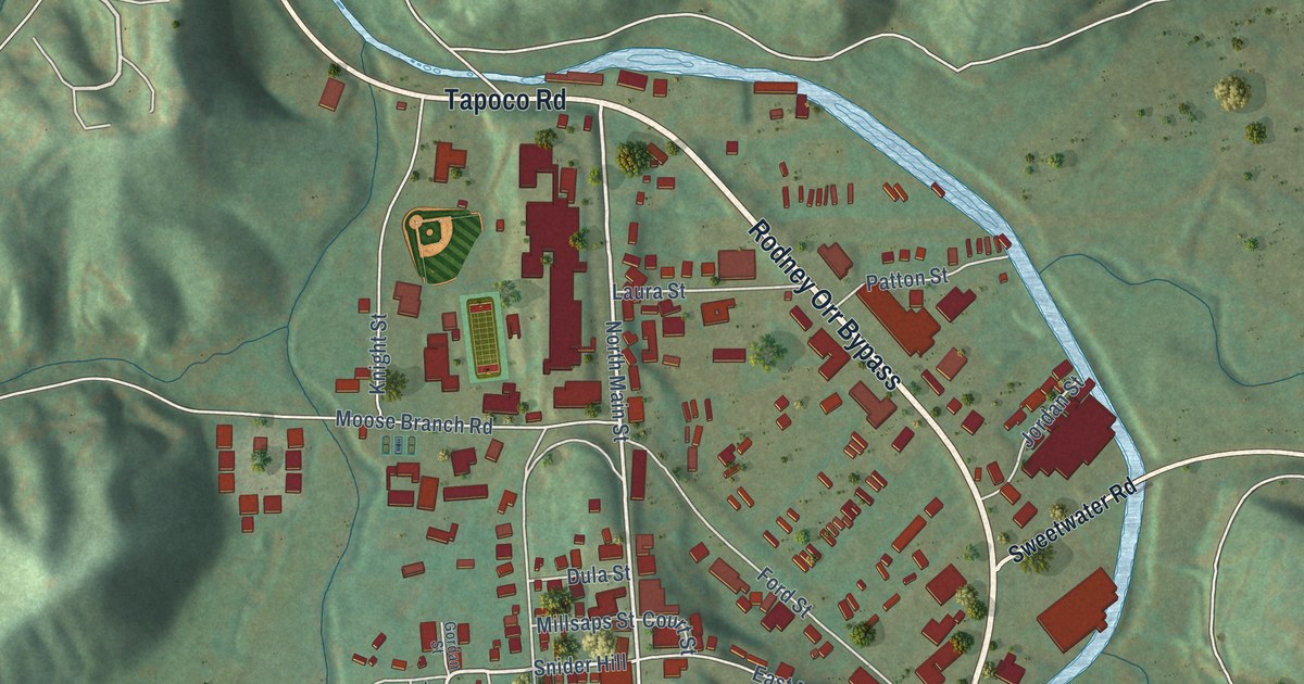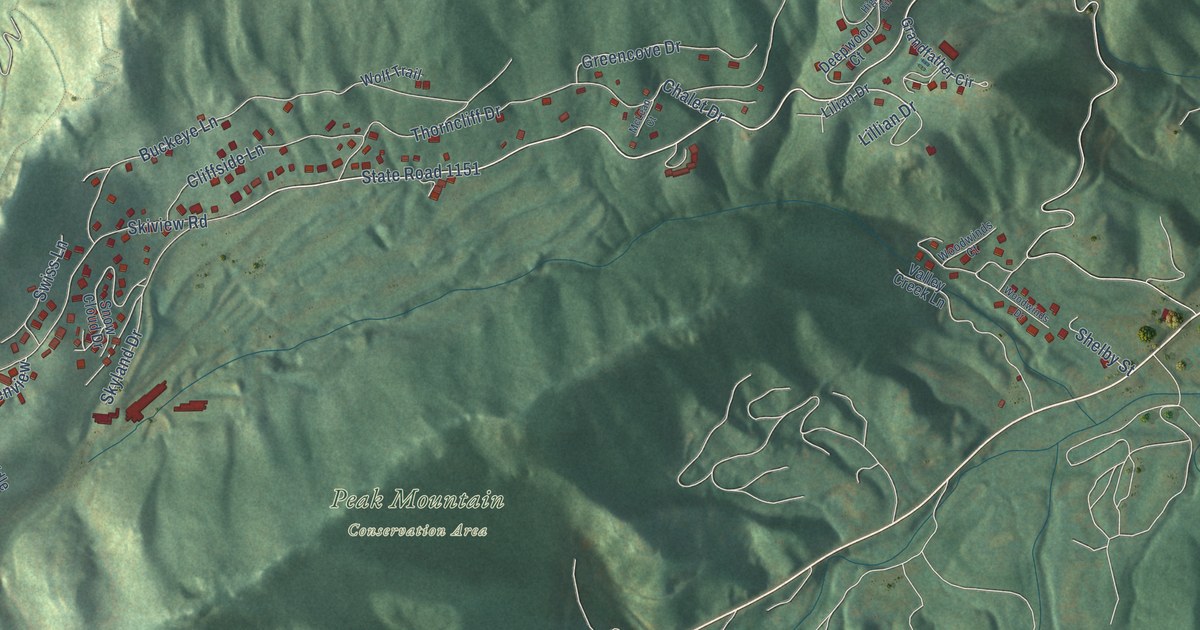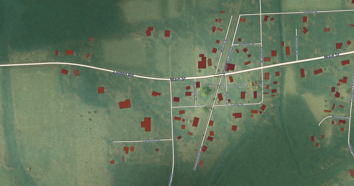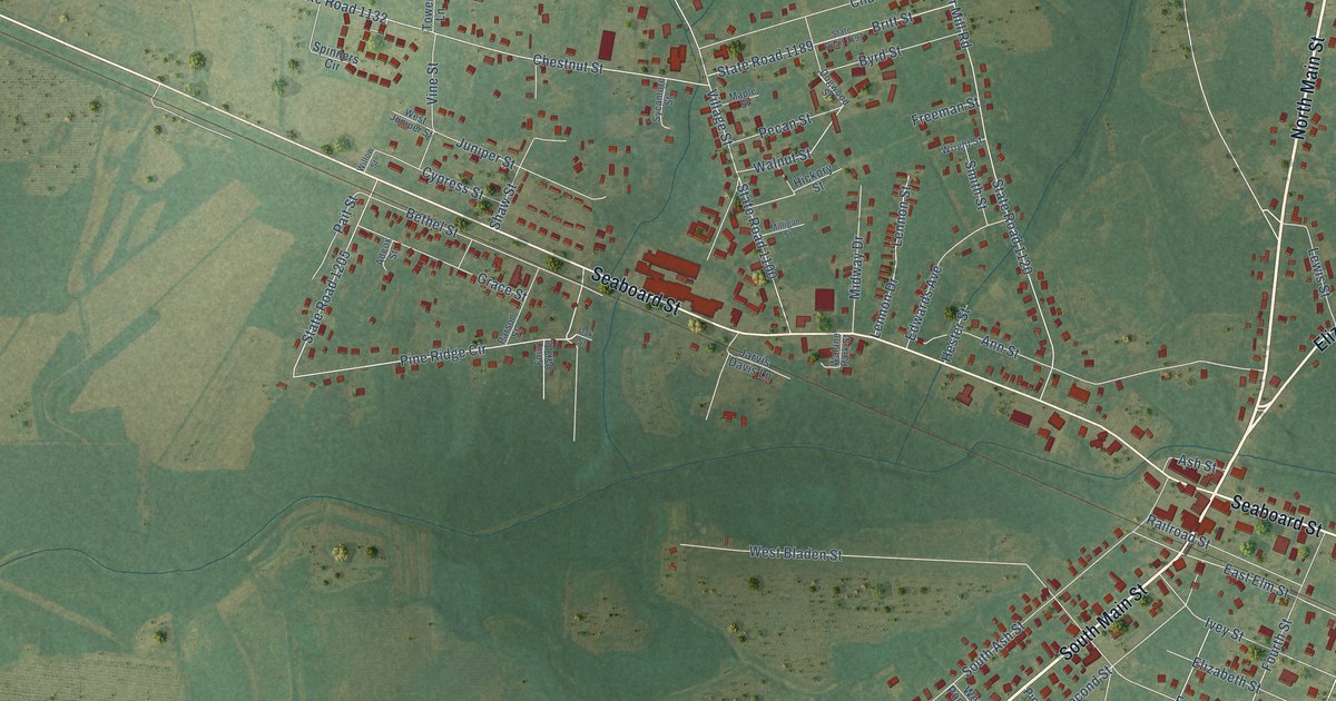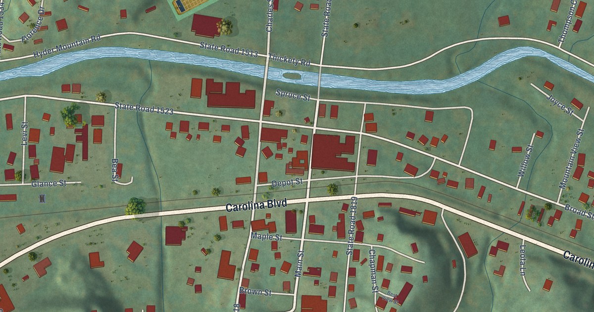
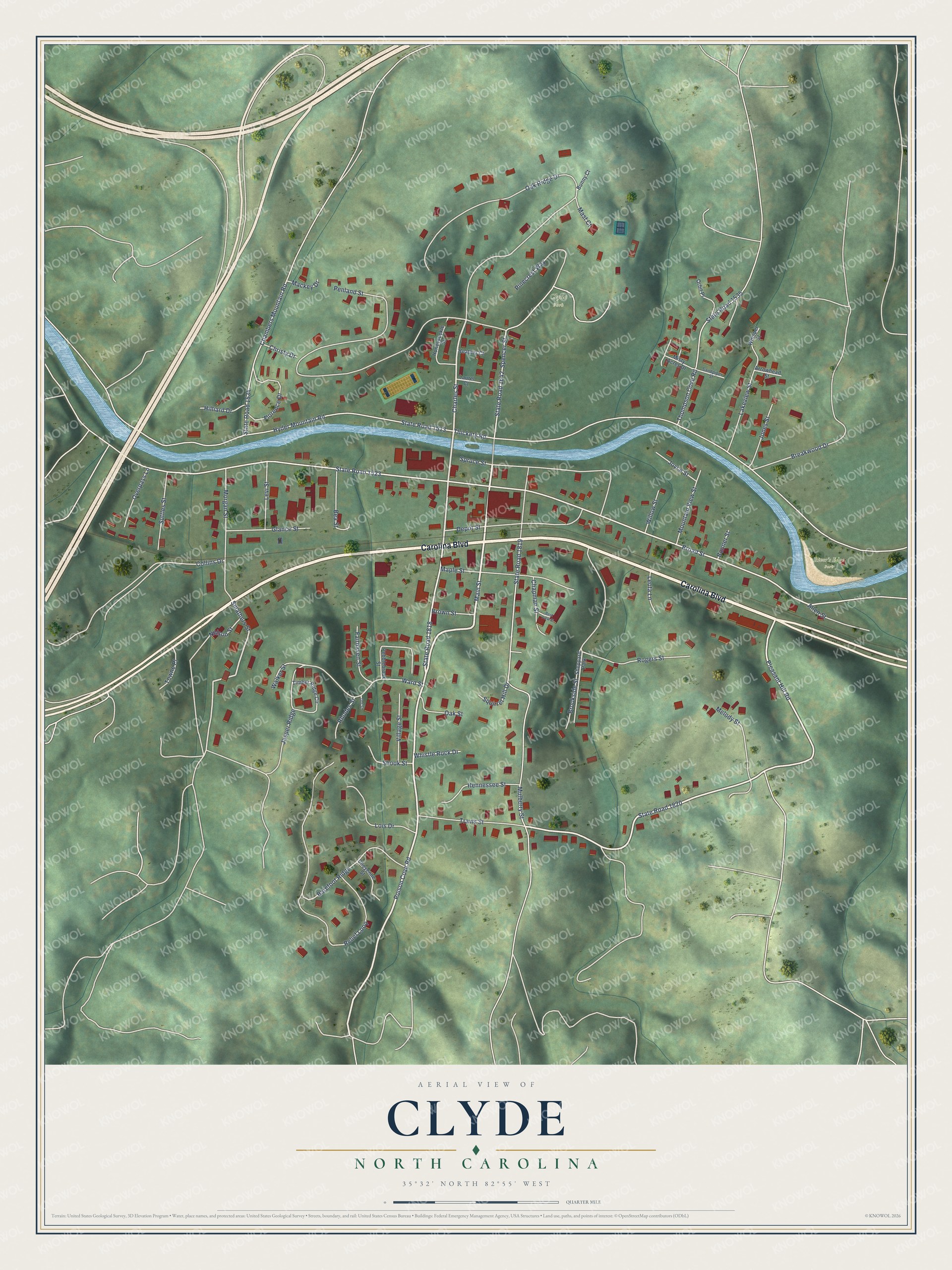
This beautifully detailed map of Clyde, North Carolina was created in 2026 using aerial imagery combined with modern topographical, census, street and landmark data. It's a modern aerial view of Clyde in Haywood County, North Carolina, that combines modern data with a vintage aesthetic. The roads feature printed names, and if you look closely you can find your exact house accurately shown in its correct location.
Explore an aerial view of Clyde, North Carolina
On this map you'll find River's Edge Park, Clyde Park, Carolina Boulevard, State Road 1642, Main Street, Poison Cove Road, Charles Street, Pleasant Hill Road, State Road 1820, Smathers Street, Broad Street, State Road 1535, and more. Each red shape is a building, so zoom in on the preview and look for yours.
Clyde has a story worth telling. The North Carolina Gazetteer puts it this way: "Clyde town in central Haywood County. Inc. 1889. Named for a member of a firm of railroad construction engineers. Known previously as Lower Pigeon. Alt. 2,539."
Clyde is a town in Haywood County. The Census Bureau counted 1,368 people here in 2020.
Take a closer look at the Clyde map
Names on this map
These names are printed on this map.
Places: River's Edge Park, Clyde Park and Sheppard Park.
Streets and roads: Carolina Boulevard, State Road 1642, Main Street, Poison Cove Road, Charles Street, Pleasant Hill Road, State Road 1820, Smathers Street, Broad Street, State Road 1535, Thompson Cove Road, State Road 1513.
More street names, A to Z
Allen Street, Arrowhead Street, Barefoot Ridge, Bea Street, Best View Street, Bonner Street, Breakwood Drive, Brookside Street, Brown Street, Bunny Court, Chambers Mountain Road, Chapman Street, Cheyenne Street, Christy Drive, Collins Drive, Depot Street, Dot Street, Fairhaven Street, Florence Drive, Glance Street, Heather Court, Hennessee Street, Hilliard Drive, Honeysuckle Street, Hyder Mountain Road, Jasper Ridge, Jones Street, Joyce Street, Lakeview Street, Laurel Court, Leota Lane, Levi Street, Lois Drive, Mackey Drive, Maple Street, Mast Court, Melody Street, Misty Acres Drive, Morgan Street, Mountain View Street, Mulberry Street, Nelson Street, Oak Ridge Drive, Oak Street, Orbit Place, Overpass Lane, Pebblebrook Street, Penland Street, Pinecrest Way, Relief Loop, Rhodes Street, Rogers Street, Sandpiper Street, Shook Street, Spencer Street, Spruce Street, Squirrel Hill Drive, State Road 1523, State Road 1534, State Road 1818, State Road 1819, Suttles Street, Thickety Road, Timber Ridge Circle, Towne Place, Travis Street, Village Street, Walker Street, Ward Street, Whisper Street, Whistle Rock Drive, Willow Street.
Created by KNOWOL in 2026. The buildings are small red shapes, the roads carry their printed names, and shaded relief shows the shape of the land. The title panel reads "AERIAL VIEW OF CLYDE NORTH CAROLINA" with 35°32' NORTH 82°55' WEST.
It looks right in a kitchen, an office or a den, and it's a gift for anyone who grew up in Clyde or moved away. Open the preview and find your street. See sizes and frames for the Clyde map.