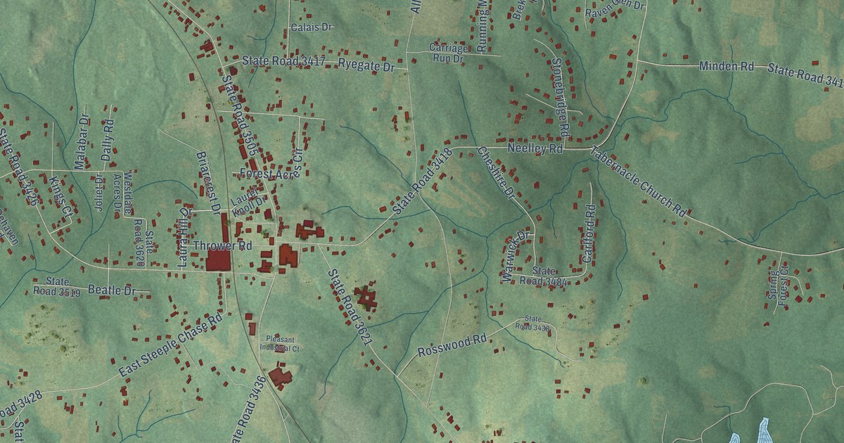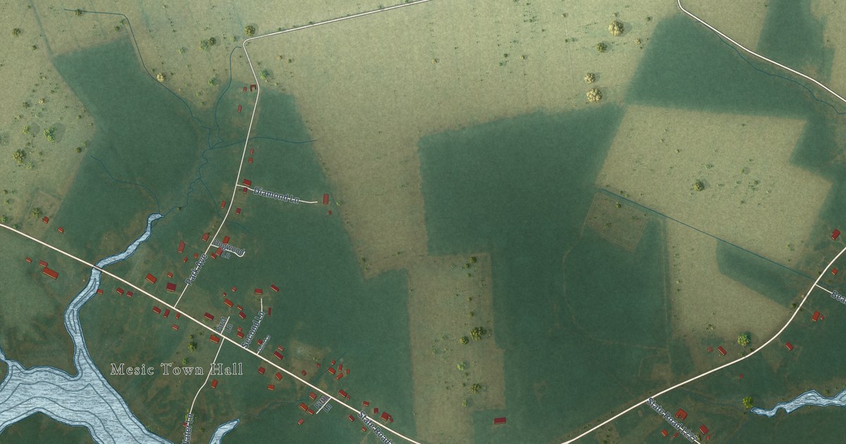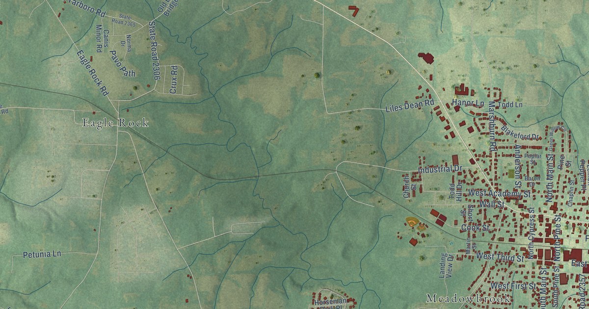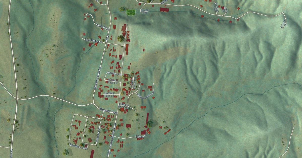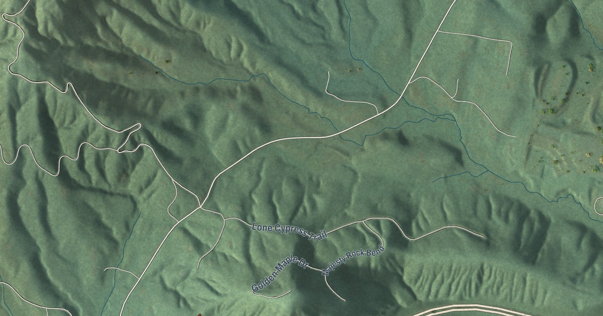
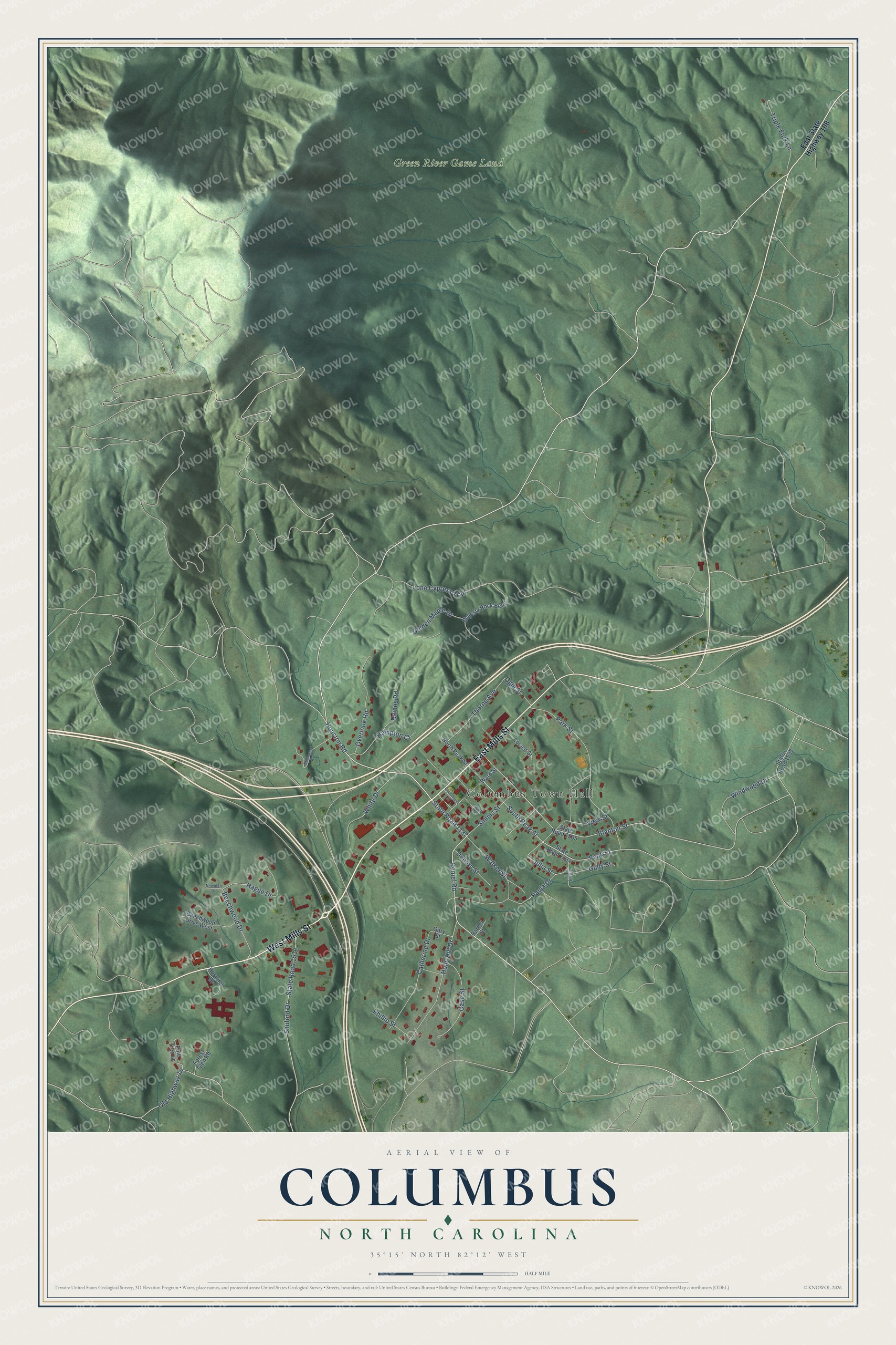
This beautifully detailed map of Columbus, North Carolina was created in 2026 using aerial imagery combined with modern topographical, census, street and landmark data. It's a modern aerial view of Columbus in Polk County, North Carolina, that combines modern data with a vintage aesthetic. The roads feature printed names, and if you look closely you can find your exact house accurately shown in its correct location.
Explore an aerial view of Columbus, North Carolina
On this map you'll find Columbus Town Hall, Green River Game Land, West Mills Street, East Mills Street, State Road 1137, Houston Road, Peniel Road, Peak Street, Julia Street, South Peak Street, State Road 1514, Blanton Street, and more. Each red shape is a building, so zoom in on the preview and look for yours.
Every town has a first chapter, and Columbus is no exception. The record at dncr.nc.gov puts it this way: "Well-known guide and trapper. Helped survey Santa Fe Trail. Guided the ill-fated Fremont expedition of 1848. Was born near here in 1787."
Columbus is a town in Polk County. The Census Bureau counted 1,060 people here in 2020.
Take a closer look at the Columbus map
Names on this map
These names are printed on this map.
Places: Columbus Town Hall and Green River Game Land.
Streets and roads: West Mills Street, East Mills Street, State Road 1137, Houston Road, Peniel Road, Peak Street, Julia Street, South Peak Street, State Road 1514, Blanton Street, Walker Street, Lone Cypress Trail.
More street names, A to Z
Barber Street, Beechwood Drive, Beechwood Drive West, Case Street, Catherine Drive, Courthouse Street, Denton Street, East State Highway 108, Forest Glen Road, Gary Street, Golden Maple Drive, Gully Street, Hague Drive, Hampton Court, Hilltop Lane, Holly Hill Drive, Hospital Drive, Locust Street, Majesty Rock Bend, McMurray Avenue, Newman Drive, North Peak Street, Ogle Street, Old Highway 19, Overlook Road, Park Street, Paula Drive, Phillip Street, Pine Tree Lane, Raines Road, Shuford Drive, Simms Street, State Road 1533, State Road 1534, State Road 1535, Thorne Avenue, Triple Fork Lane, View Street, Wall Street, Ward Street, White Drive, Windwood Drive.
Created by KNOWOL in 2026. The buildings are small red shapes, the roads carry their printed names, and shaded relief shows the shape of the land. The title panel reads "AERIAL VIEW OF COLUMBUS NORTH CAROLINA" with 35°15' NORTH 82°12' WEST.
Hang it in the hallway, the office or the cabin, or give it to someone who left Columbus and still calls it home. Open the preview and look for a street you know. See sizes and frames for the Columbus map.