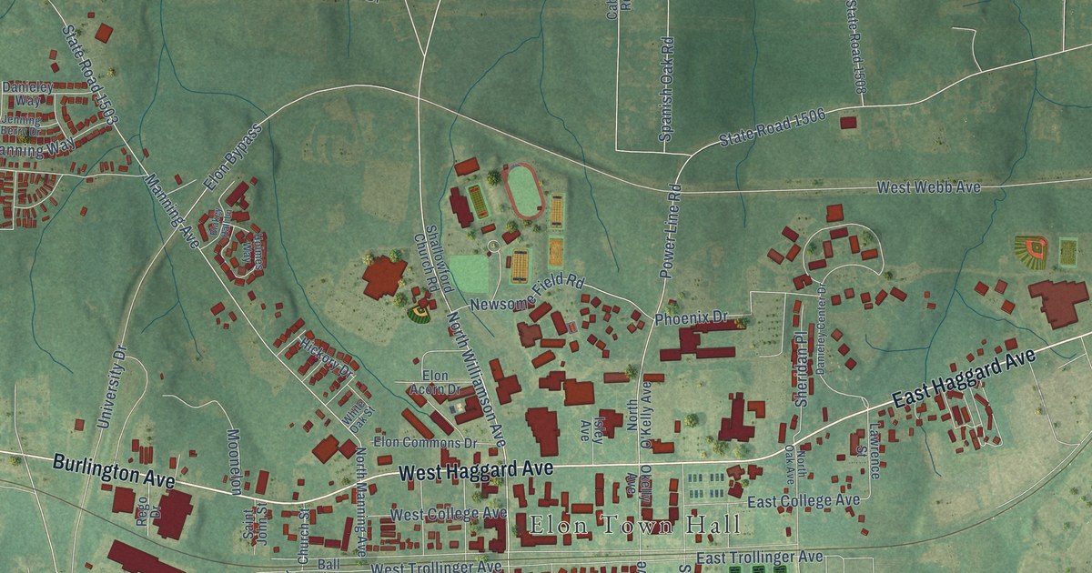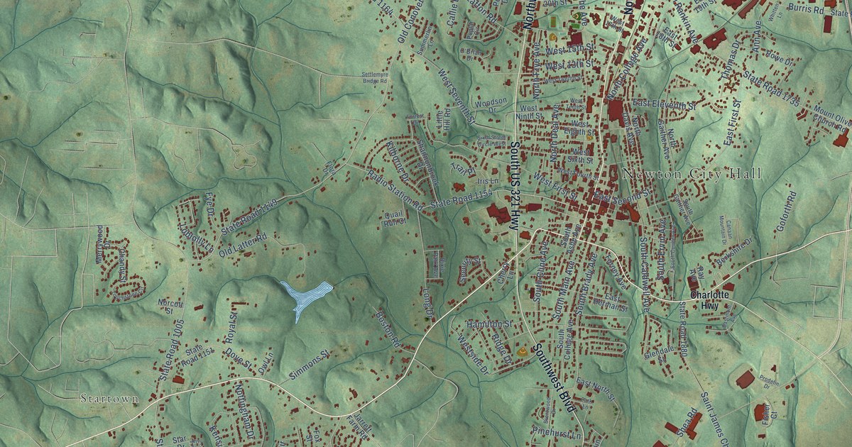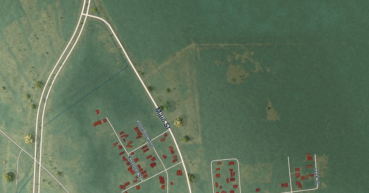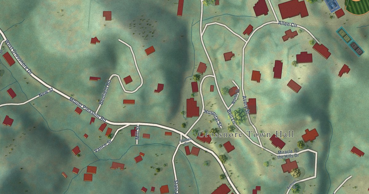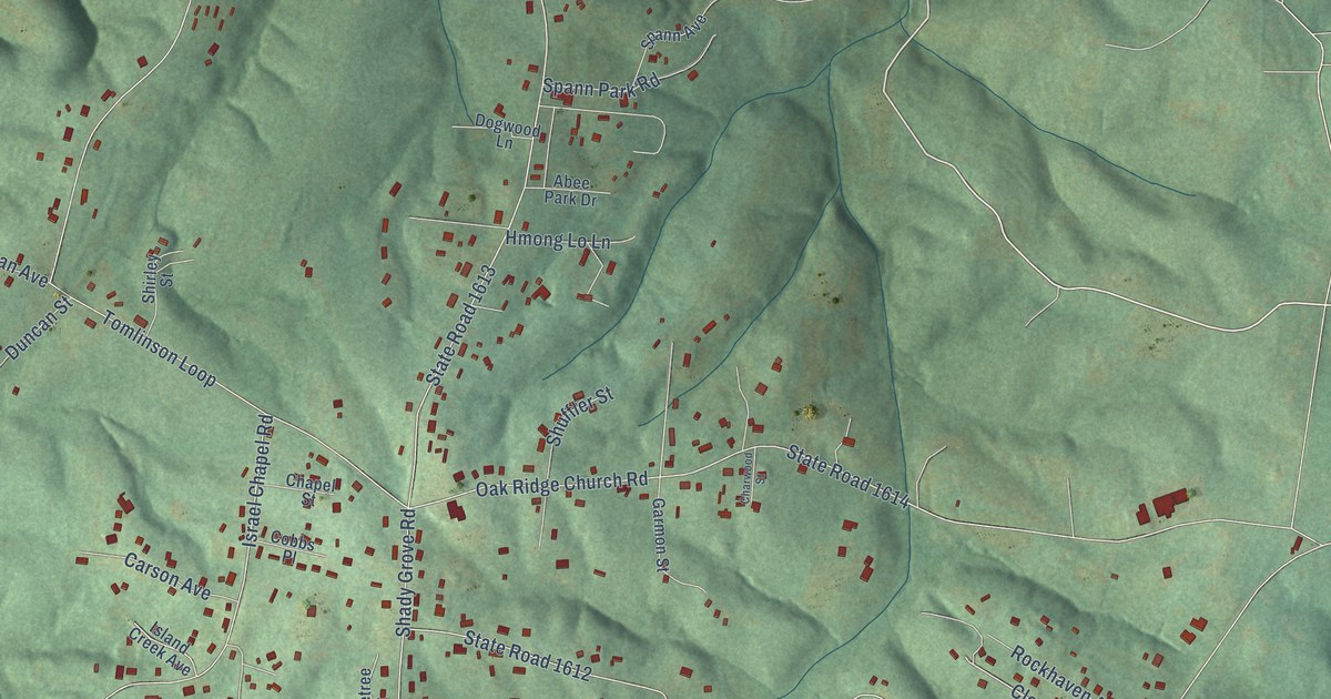
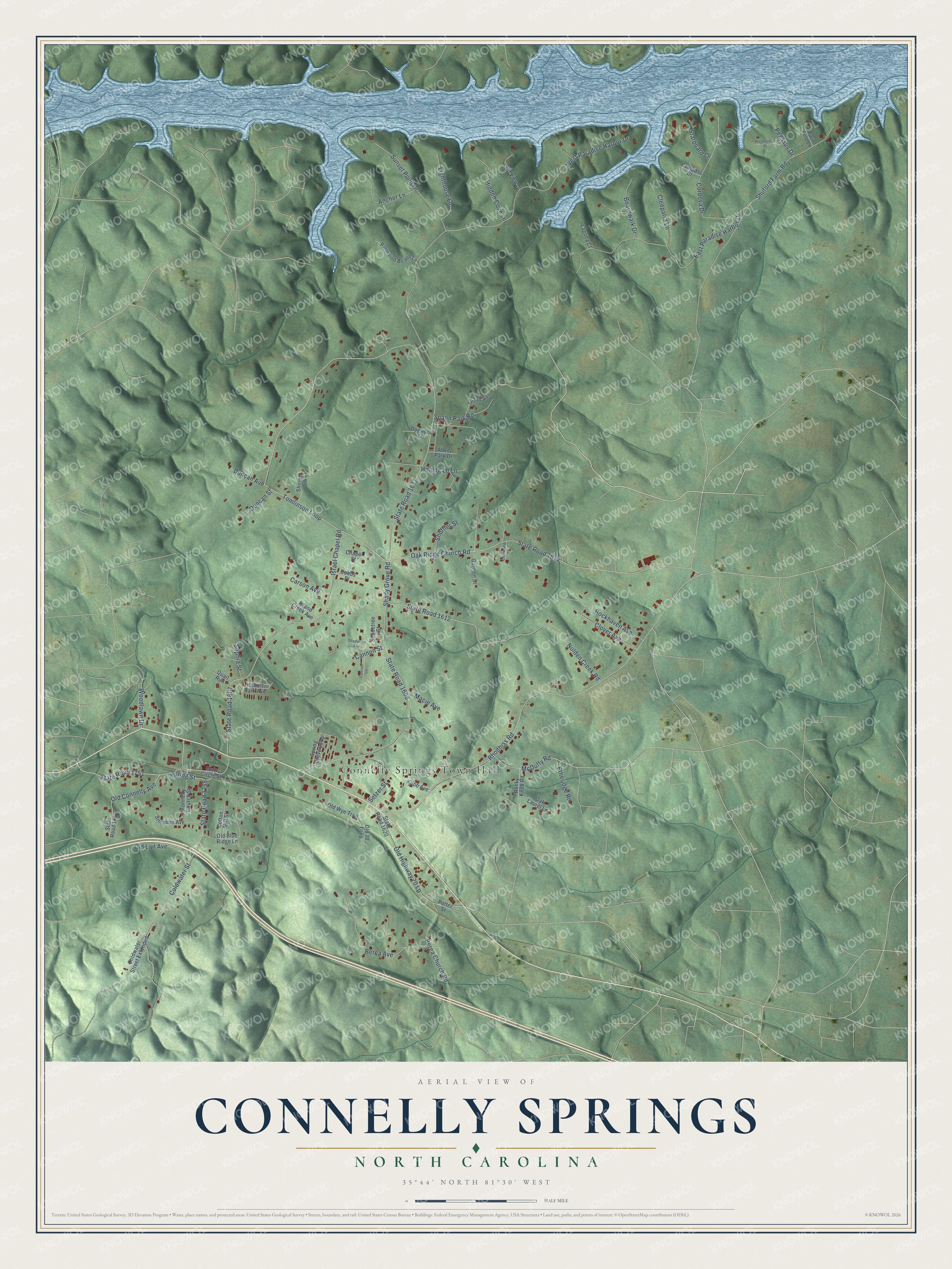
This beautifully detailed map of Connelly Springs, North Carolina was created in 2026 using aerial imagery combined with modern topographical, census, street and landmark data. It's a modern aerial view of Connelly Springs in Burke County, North Carolina, that combines modern data with a vintage aesthetic. The roads feature printed names, and if you look closely you can find your exact house accurately shown in its correct location.
Explore an aerial view of Connelly Springs, North Carolina
On this map you'll find Connelly Springs Town Hall, State Road 1751, State Road 1613, Tomlinson Loop, State Road 1607, West Paradise Harbor Drive, East Paradise Harbor Drive, Shady Grove Road, State Road 1608, Israel Chapel Road, Nolden Creek Road, State Road 1612, and more. Each red shape is a building, so zoom in on the preview and look for yours.
Here is a piece of Connelly Springs history, in the words of the record. The North Carolina Gazetteer puts it this way: "Connelly Springs town in E central Burke County on Island Creek approx. 2 mi. E of Valdese. Settled before the Civil War and named Happy Home. Later, the Connelly family developed a resort there around mineral springs. Named for Mrs. William L. Connelly. Inc. 1920."
Connelly Springs is a town in Burke County. The Census Bureau counted 1,529 people here in 2020.
Take a closer look at the Connelly Springs map
Names on this map
These names are printed on this map.
Places: Connelly Springs Town Hall.
Streets and roads: State Road 1751, State Road 1613, Tomlinson Loop, State Road 1607, West Paradise Harbor Drive, East Paradise Harbor Drive, Shady Grove Road, State Road 1608, Israel Chapel Road, Nolden Creek Road, State Road 1612, Coldwater Street.
More street names, A to Z
Abee Park Drive, Anchor Lane, Berea Avenue, Berea Church Road, Boardwalk Drive, Cannon Lane, Cannon Street, Carson Avenue, Chapel Street, Charwood Street, Cleopatra Lane, Cliff View Drive, Clover Avenue, Cobbs Place, Coldwater Street Extended, Compass Court, Connelly Church Street, Cordova Drive, Cotton Mill Street, Dogwood Lane, Duncan Avenue, Duncan Street, Etheridge Road, Garmon Street, Hidden Cove Lane, Hmong Lo Lane, Hubert Park Avenue, Island Creek Avenue, Knob Avenue, Laguna Court, Lighthouse Lane, Macie Avenue, Main Circle Street, McDuffy Road, Oak Laurel Lane, Oak Ridge Church Road, Old 70 Loop, Old Blue Ridge Lane, Old Connelly Avenue, Old Highway 70 Lp, Old Lail Avenue, Old Wye Trail, Palomino Beach Lane, Paso Fino Lane, Pegasus Drive, Pocahontas Place, Potter Street, Quail Run, Rhodhiss Road, Rockhaven Avenue, Rocky Knob Road, Setzer Street, Shadetree Avenue, Shadetree Street, Shirley Street, Shuffler Street, Shuford Farm Road, Simpson Avenue, Sophia Street, Spann Avenue, Spann Park Road, Spring Grove Loop, Spring Street, Starboard Lane, State Road 1614, State Road 1620, State Road 1752, State Road 1755, Sunset Point Drive, Woodlawn Drive.
Created by KNOWOL in 2026. The buildings are small red shapes, the roads carry their printed names, and shaded relief shows the shape of the land. The title panel reads "AERIAL VIEW OF CONNELLY SPRINGS NORTH CAROLINA" with 35°44' NORTH 81°30' WEST.
It suits a den, a classroom or a front hall, and it makes a gift for anyone with Connelly Springs roots. Open the preview and find the block you know. See sizes and frames for the Connelly Springs map.