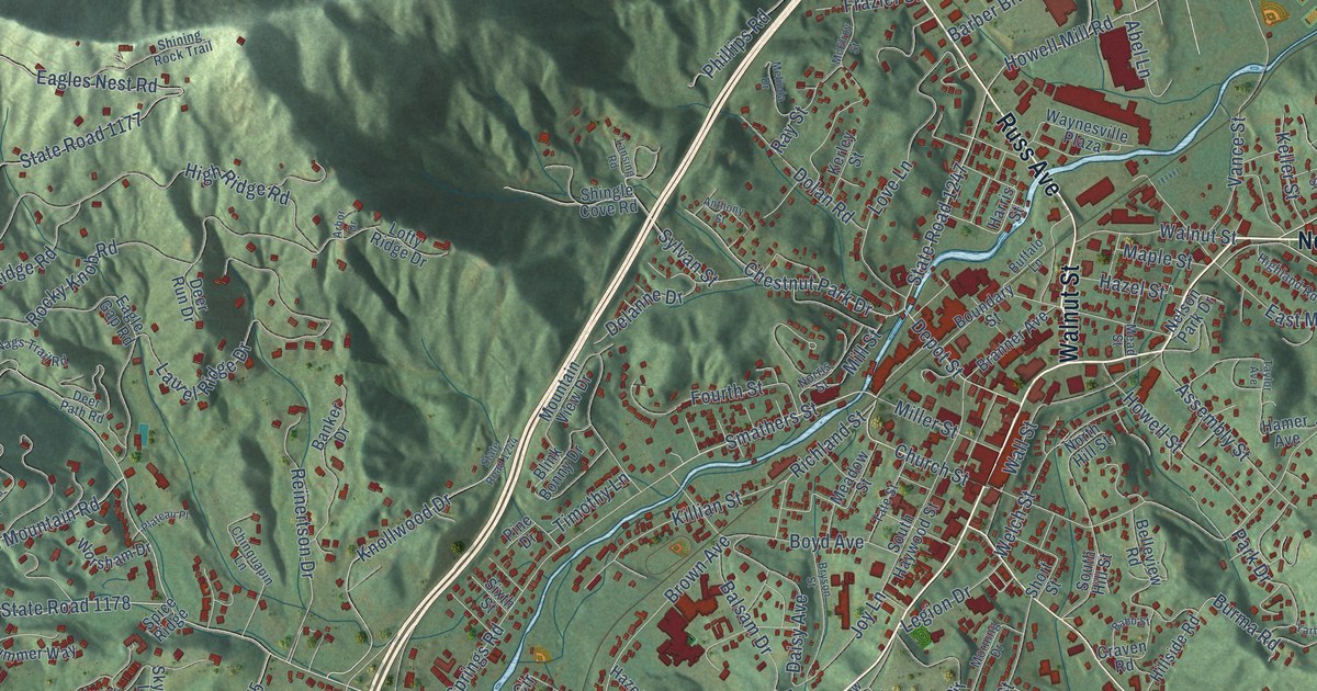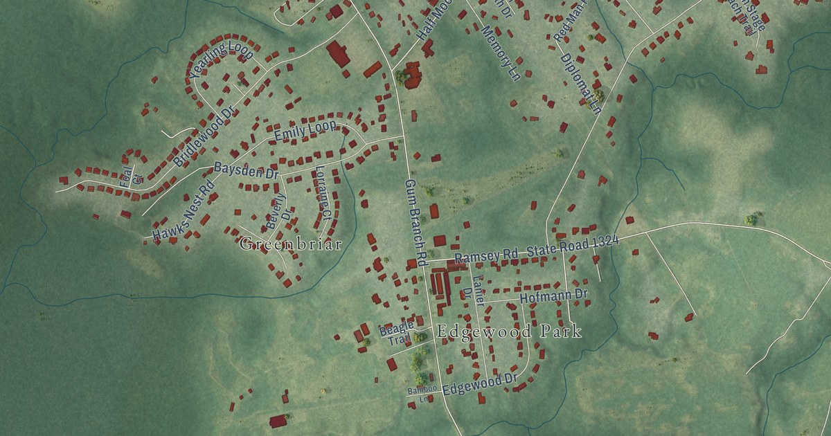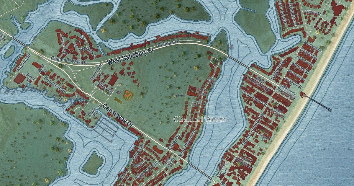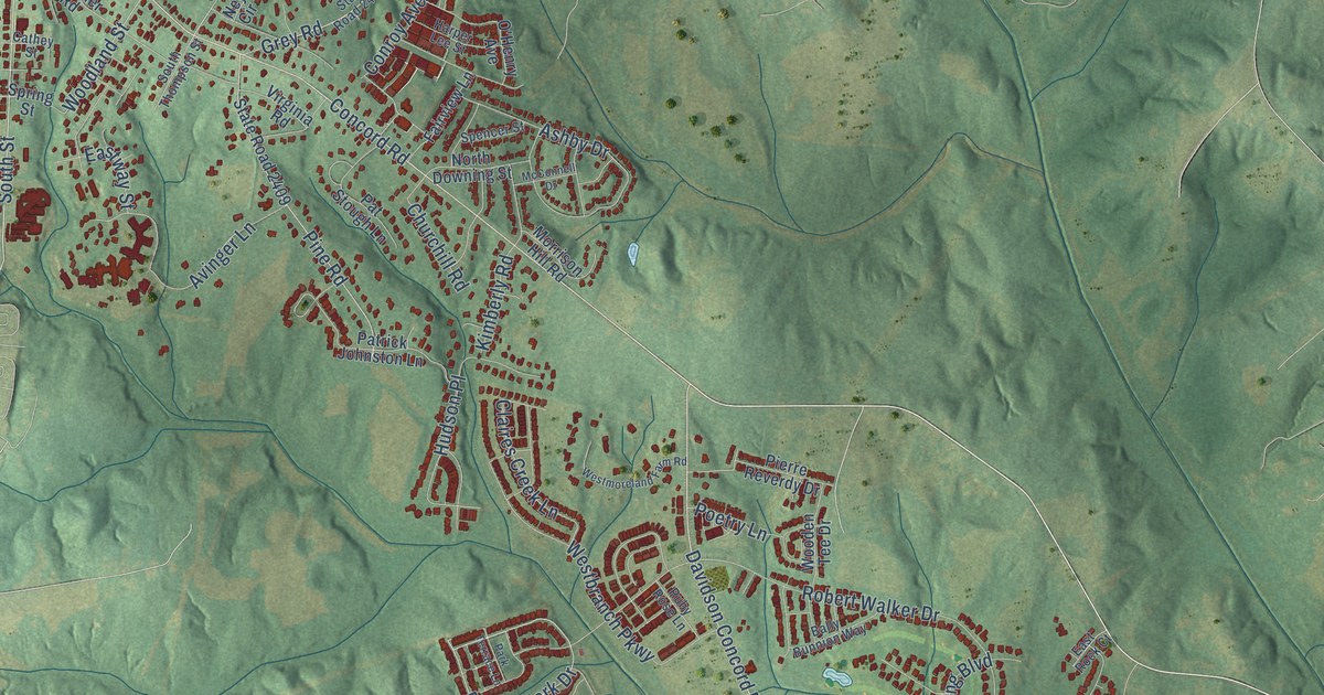
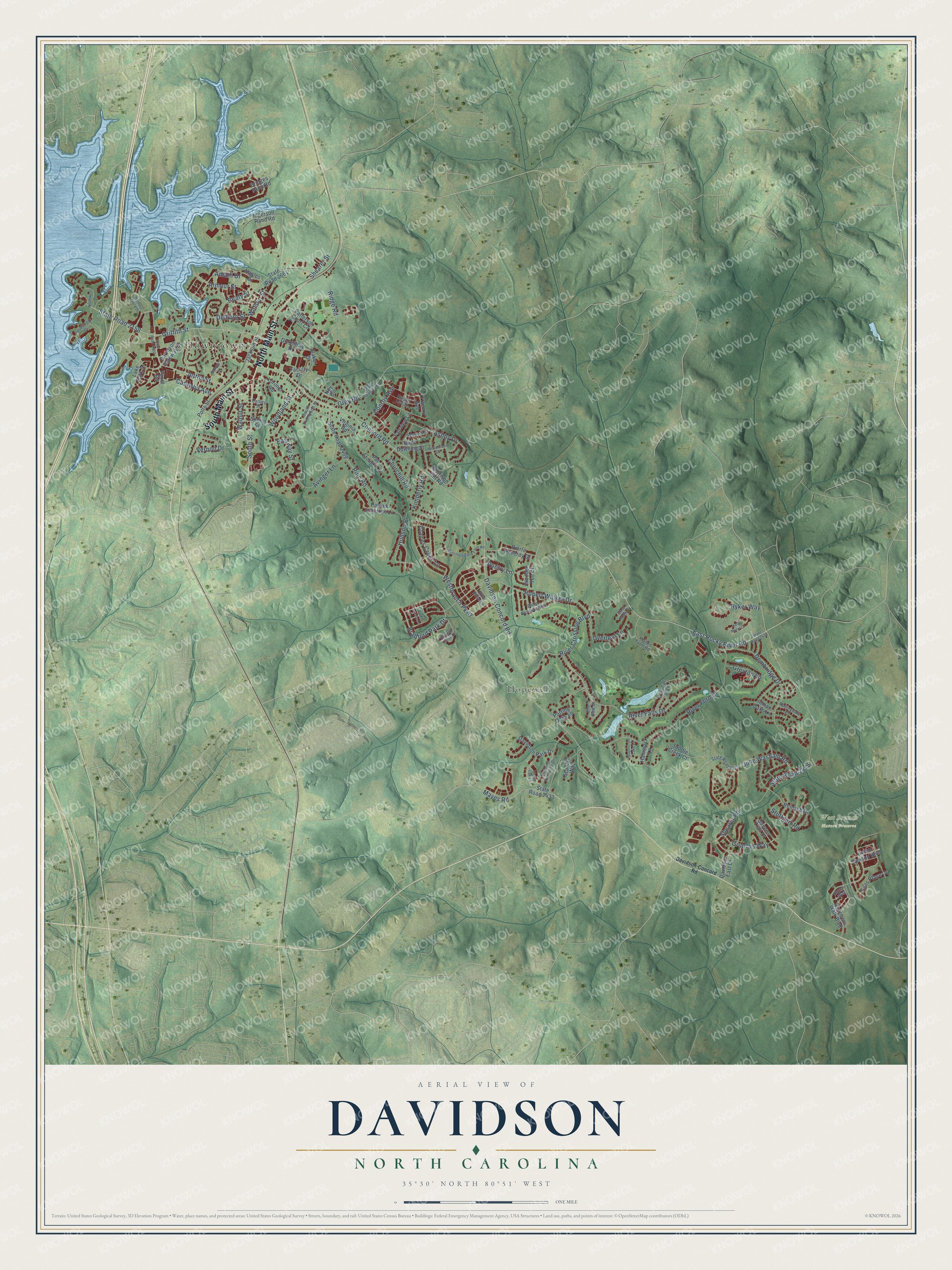
This beautifully detailed map of Davidson, North Carolina was created in 2026 using aerial imagery combined with modern topographical, census, street and landmark data. It's a modern aerial view of Davidson in Mecklenburg County, North Carolina, that combines modern data with a vintage aesthetic. The roads feature printed names, and if you look closely you can find your exact house accurately shown in its correct location.
Explore an aerial view of Davidson, North Carolina
On this map you'll find Downtown, West Branch Nature Preserve, Hopewell, South Main Street, North Main Street, Concord Road, Davidson Concord Road, Bradford Park Drive, East Rocky River Road, South Street, State Road 2158, Griffith Street, and more. Each red shape is a building, so zoom in on the preview and look for yours.
Davidson has a story worth telling. The record at ncpedia.org puts it this way: "Davidson College , located in the town of Davidson, opened its doors in 1837 under the auspices of the Concord (western North Carolina) and Bethel (upcountry South Carolina) Presbyteries as a manual training school."
Davidson is a town in Mecklenburg County. The Census Bureau counted 15,106 people here in 2020.
Take a closer look at the Davidson map
Names on this map
These names are printed on this map.
Places: Downtown, West Branch Nature Preserve and Hopewell.
Streets and roads: South Main Street, North Main Street, Concord Road, Davidson Concord Road, Bradford Park Drive, East Rocky River Road, South Street, State Road 2158, Griffith Street, Jetton Street, Woodland Street, River Ford Drive.
More street names, A to Z
Amalfi Drive, Armour Street, Ashby Drive, Avinger Lane, Baker Drive, Bally Bunnion Way, Bartlette Creek Drive, Beaty Street, Bridges Farm Road, Catawba Avenue, Cathey Street, Churchill Road, Claires Creek Lane, Conroy Avenue, Davidson-Concord Road, Davidson East Drive, Davidson Gateway Drive, Davidson Park Drive, Delburg Street, Dembridge Drive, Dormitory Drive, East Rock Court, Eastway Street, Elm Row Court, Evening Primrose Drive, Faculty Drive, Fairview Lane, Faust Road, Gamble Street, Grey Road, Greyton Lane, Grundys Way, Halle Marie Cr, Hammock Lane, Harbour Place Drive, Harper Lee Street, Hayes Way, Helen Benson Boulevard, Hudson Place, Indian Oaks Lane, Ingersoll Rand Road, Jackson Street, June Washam Road, Kimberly Road, Kistler Farm Road, Lake Park Drive, Laurel Oak Lane, Lorimer Road, Maplecroft Lake Lane, Mayes Road, McConnell Drive, Morrison Hill Road, Naples Drive, Ney Circle, North Downing Street, Northwest Drive, O'Henry Avenue, Overleaf Lane, Park Terrace Lane, Parting Oaks Lane, Patrick Johnston Lane, Pat Stough Lane, Patterson Court Circle, Pierre Reverdy Drive, Pine Road, Poetry Lane, Potts Street, Queens Trail Drive, Reinsch Drive, Ridge Road, River Crossing Boulevard, River Falls Drive, Robert Walker Drive, Rollingdale Lane, Ruby Rose Lane, Ryker Way, Saddle Creek Court, Scanlan Way, Shearer Road, Shearer Street, Silas Place Drive, South Thompson Street, Southwest Drive, Spencer Street, Spring Street, State Road 2402, State Road 2409, State Road 2417, State Road 2418, State Road 2420, State Road 2422, State Road 2433, State Road 2661, Stuttgart Road, Summers Walk Boulevard, Vernon Drive, Virginia Road, Walnut Street, Watson Street, Westbranch Parkway, Westmoreland Farm Road, Wildcat Trail, Wooden Tee Drive.
Created by KNOWOL in 2026. The buildings are small red shapes, the roads carry their printed names, and shaded relief shows the shape of the land. The title panel reads "AERIAL VIEW OF DAVIDSON NORTH CAROLINA" with 35°30' NORTH 80°51' WEST.
It looks right in a kitchen, an office or a den, and it's a gift for anyone who grew up in Davidson or moved away. Open the preview and find your street. See sizes and frames for the Davidson map.