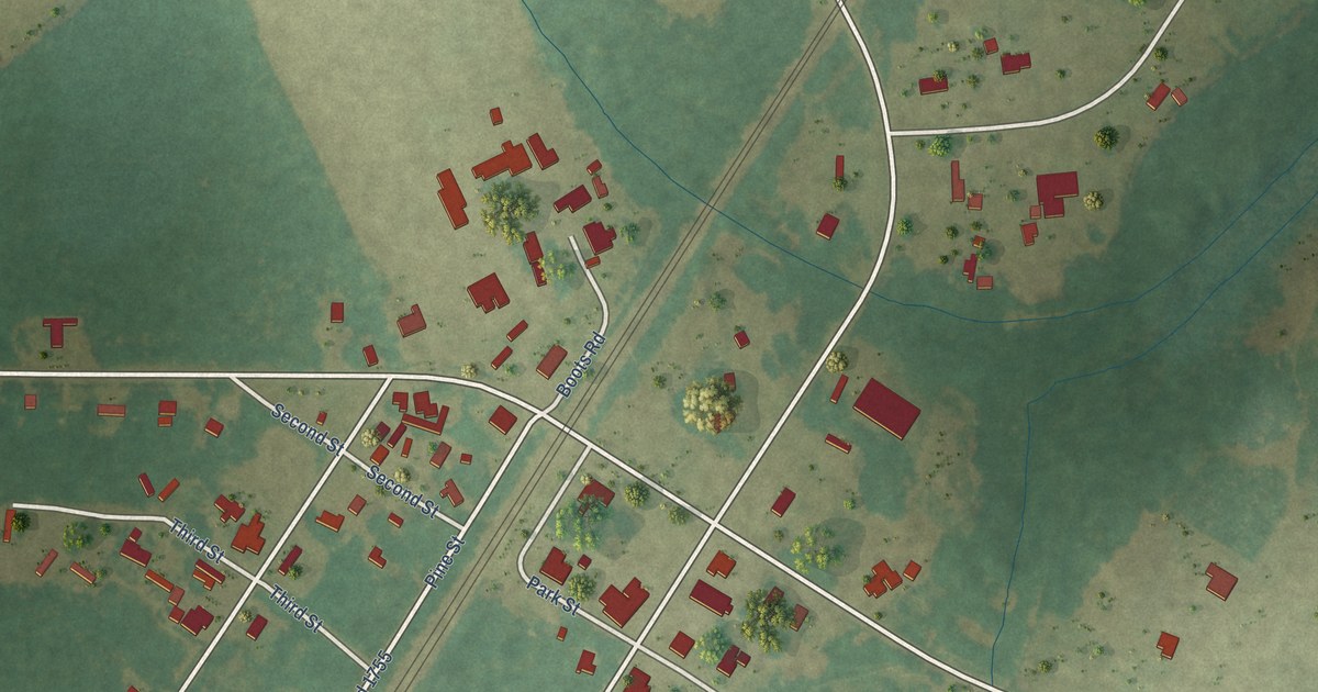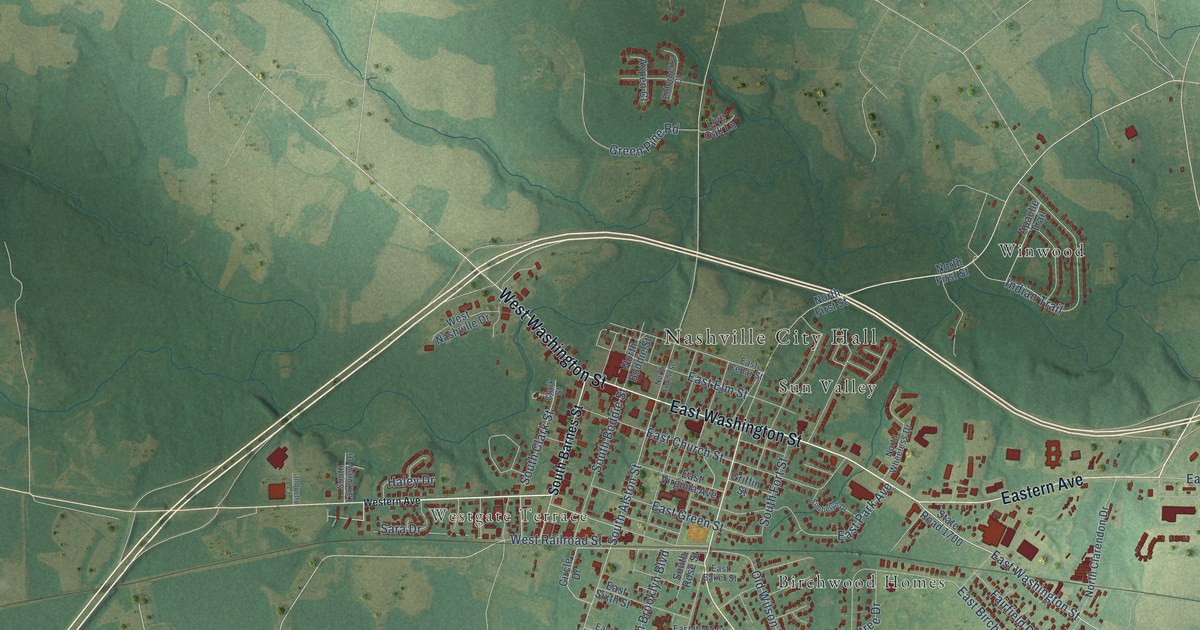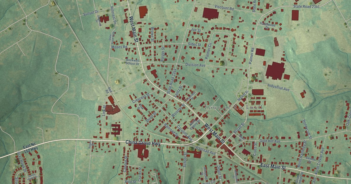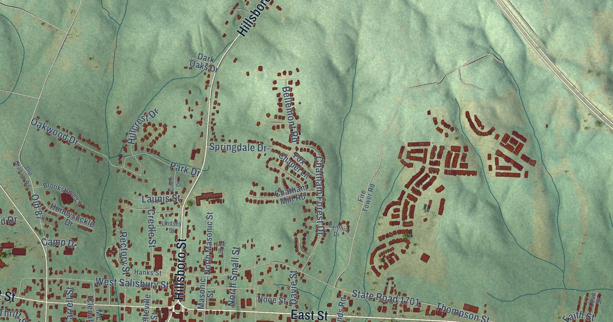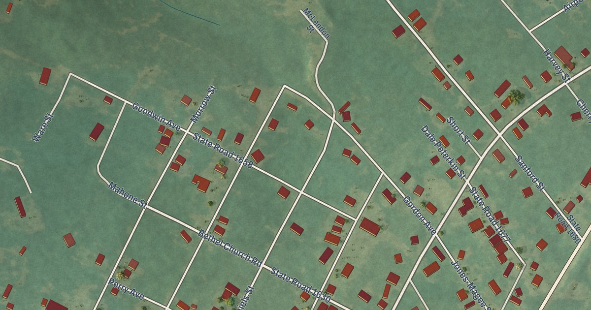
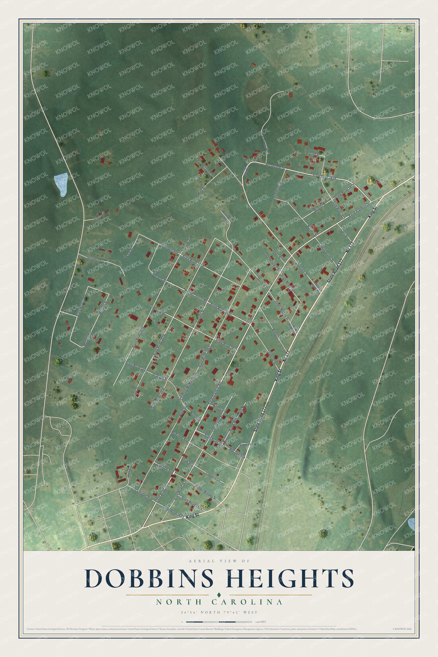
This beautifully detailed map of Dobbins Heights, North Carolina was created in 2026 using aerial imagery combined with modern topographical, census, street and landmark data. It's a modern aerial view of Dobbins Heights in Richmond County, North Carolina, that combines modern data with a vintage aesthetic. The roads feature printed names, and if you look closely you can find your exact house accurately shown in its correct location.
Explore an aerial view of Dobbins Heights, North Carolina
On this map you'll find North Hamlet, State Road 177, King Street, Nc 177, Earle Franklin Drive, Earle Franklin Road, State Road 1627, Horseshoe Drive, State Road 1628, Bethel Church Road, State Road 1630, State Road 1635, and more. Each red shape is a building, so zoom in on the preview and look for yours.
Dobbins Heights is a town in Richmond County. The Census Bureau counted 687 people here in 2020. The map prints the town name in its title panel, with the coordinates below it.
Take a closer look at the Dobbins Heights map
Names on this map
These names are printed on this map.
Places: North Hamlet.
Streets and roads: State Road 177, King Street, Nc 177, Earle Franklin Drive, Earle Franklin Road, State Road 1627, Horseshoe Drive, State Road 1628, Bethel Church Road, State Road 1630, State Road 1635, Robert Broady Street.
More street names, A to Z
Airport Street, Benton Street, Bobo Street, Campbell Avenue, Carr Street, Channie McManus Drive, Cherry Grove Street, Dale Peterkin Street, Daniels Street, Df Diggs Street, Dickerson Street, Dobbins Street, Frank West Davis Street, Ginger Lane, Goodwin Avenue, Gordon Avenue, Green Street, Harvey Street, Jackson Lake Road, Jones-Magee Street, Leroy David Street, Longwood Street, Love Street, Luevora Lane, Mahone Street, McKinley Avenue, McLendon Street, Morgan Circle, Morgan Street, Morrow Street, Oakdale Avenue, Page Street, Patton Street, Paul McLendon Street, Pee Dee Avenue, Perry Avenue, Rose Street, Sanford Street, Shaw Avenue, Short Street, State Road 1629, State Road 1631, State Road 1633, State Road 1634, State Road 1637, State Road 1656, State Road 1658, State Road 1663, State Road 1664, State Road 1667, State Road 1669, State Road 1672, State Road 1673, State Road 1674, State Road 1677, State Road 1679, State Road 1680, Stutts Lane, Wall Street, Ware Street, Wilson Street.
Created by KNOWOL in 2026. The buildings are small red shapes, the roads carry their printed names, and shaded relief shows the shape of the land. The title panel reads "AERIAL VIEW OF DOBBINS HEIGHTS NORTH CAROLINA" with 34°54' NORTH 79°42' WEST.
It suits a den, a classroom or a front hall, and it makes a gift for anyone with Dobbins Heights roots. Open the preview and find the block you know. See sizes and frames for the Dobbins Heights map.