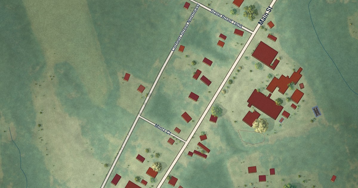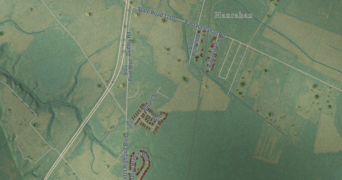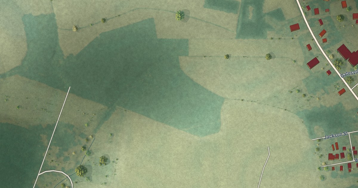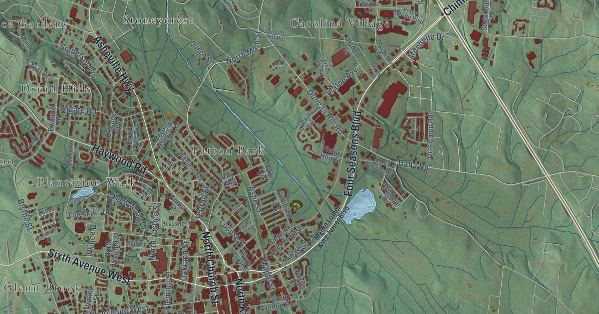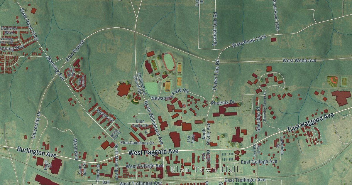
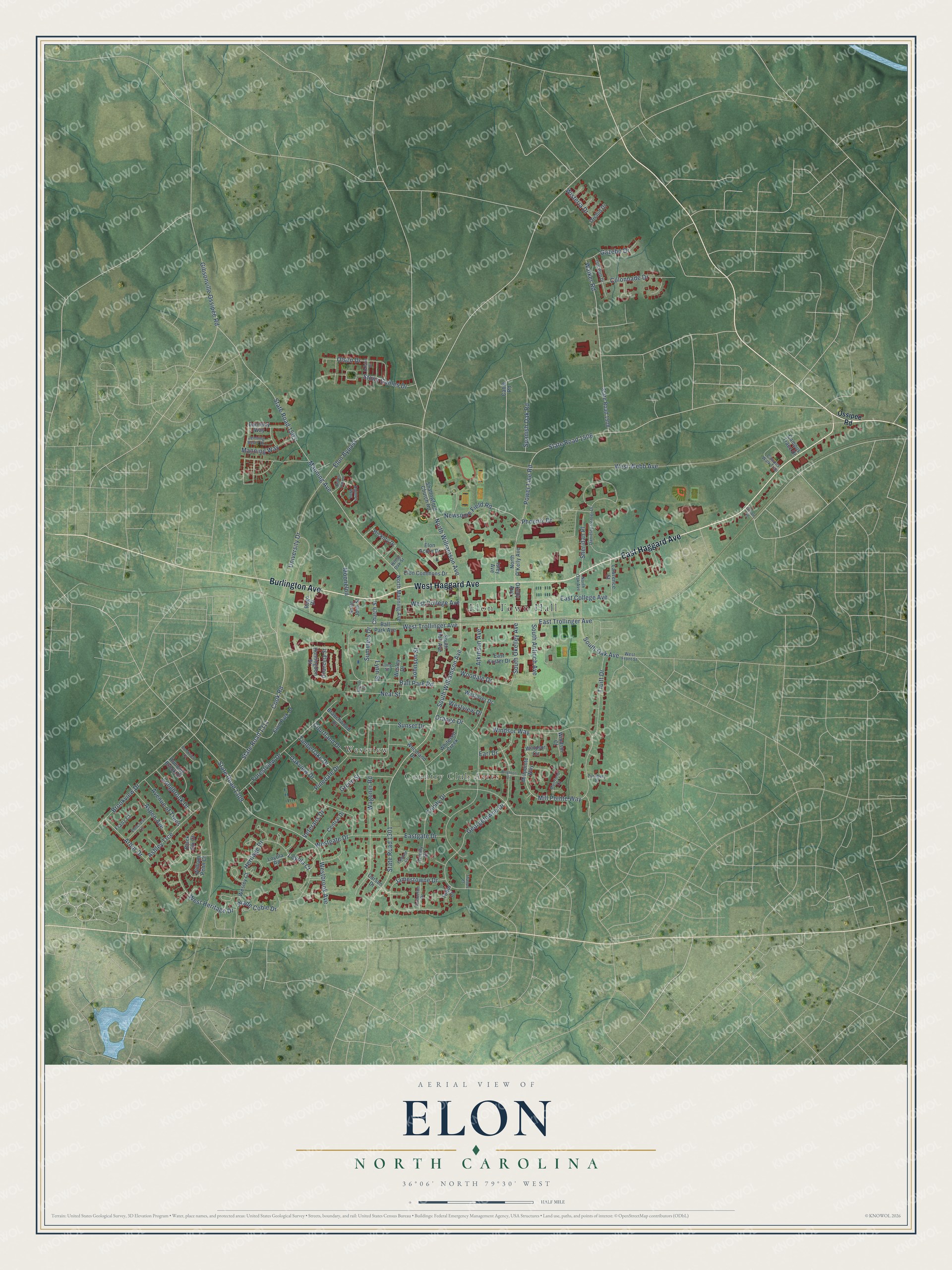
This beautifully detailed map of Elon, North Carolina was created in 2026 using aerial imagery combined with modern topographical, census, street and landmark data. It's a modern aerial view of Elon in Alamance County, North Carolina, that combines modern data with a vintage aesthetic. The roads feature printed names, and if you look closely you can find your exact house accurately shown in its correct location.
Explore an aerial view of Elon, North Carolina
On this map you'll find Elon Town Hall, Country Club Acres, Westview, East Haggard Avenue, West Haggard Avenue, Burlington Avenue, North Williamson Avenue, West Trollinger Avenue, Newsome Field Road, South Williamson Avenue, State Road 1506, Georgetowne Drive, and more. Each red shape is a building, so zoom in on the preview and look for yours.
Here is a piece of Elon history, in the words of the record. The record at dncr.nc.gov puts it this way: "With that change, the name of the town was changed from Elon College to Elon."
Elon is a town in Alamance County. The Census Bureau counted 11,336 people here in 2020.
Take a closer look at the Elon map
Names on this map
These names are printed on this map.
Places: Elon Town Hall, Country Club Acres and Westview.
Streets and roads: East Haggard Avenue, West Haggard Avenue, Burlington Avenue, North Williamson Avenue, West Trollinger Avenue, Newsome Field Road, South Williamson Avenue, State Road 1506, Georgetowne Drive, Power Line Road, State Road 1311, Walker Road.
More street names, A to Z
Arbor Drive, Ashley Trce, Aspen Avenue, Atkinson Avenue, Avenue of Trees, Ball Park Avenue, Ball Park Road, Black Elk Court, Blakey Hall Lane, Branchwood Drive, Brighton Drive, Brookview Court, Brookview Drive, Cable Road, Campus Trace Drive, Campus Walk Trail, Carson Drive, Central Drive, Chancery Street, Church Street, Colonnade Drive, Cook Road, Courtland Drive, Danieley Center Drive, Danieley Way, Earl Drive, East College Avenue, East Foster Drive, Eastgate Drive, East Trollinger Avenue, Edmund Court, Elmcrest Lane, Elon Acorn Drive, Elon Bypass, Elon Commons Drive, Elon Park Drive, Forestview Drive, Franz Court, Gazebo Drive, Gibsonville Ossipee Road, Gilliam Road, Green Street, Heritage Drive, Hickory Drive, Holmes Way, Huntingdon Street, Isley Avenue, Jamestowne Drive, Jenning Berry Drive, Johnson Street, Lawrence Street, Longbrook Drive, Long Street, Loyola Court, Loyola Road, Lynn Street, Manning Avenue, Manning Way, Mill Pointe Way, Millpointe Way, Moonelon, Muirfield Court, Neal Street, North Manning Avenue, North O'Kelly Avenue, North Oak Avenue, Oakview Drive, Okelly Avenue, Old Well Drive, Olsen Drive, Orange Drive, Orchid Drive, Ossipee Road, Phoenix Drive, Pinedale Drive, Princeton Drive, Ralston Drive, Rego Drive, Running Brook Drive, Saint John Street, Shallowford Church Road, Sheridan Place, Short Street, South Antioch Avenue, South Holt Avenue, South Oak Avenue, South Okelley Avenue, Spanish Oak Road, State Road 1301, State Road 1309, State Road 1503, State Road 1508, Stone Gables Drive, Summers Drive, Sunset Drive, Thames Court, Timberlake Drive, Trinity Court, Trinity Drive, Truitt Drive, Tudor Court, Turnbury Place, University Drive, Veterans Drive, Wade Coble Drive, Wagoner Road, Wesley Court, Wesley Drive, Westbrook Avenue, West College Avenue, West Front Street, Westgate Drive, West Heritage Drive, Westover Drive, Westview Drive, West Webb Avenue, White Oak Street, Whitesell Creek, William Penn Court, Windsor Circle, Windsor Court, Windsor Way, Wisteria Drive, Woodale Drive, Woodland Drive.
Created by KNOWOL in 2026. The buildings are small red shapes, the roads carry their printed names, and shaded relief shows the shape of the land. The title panel reads "AERIAL VIEW OF ELON NORTH CAROLINA" with 36°06' NORTH 79°30' WEST.
It suits a den, a classroom or a front hall, and it makes a gift for anyone with Elon roots. Open the preview and find the block you know. See sizes and frames for the Elon map.