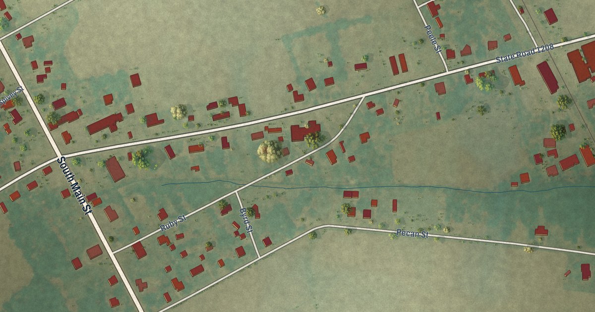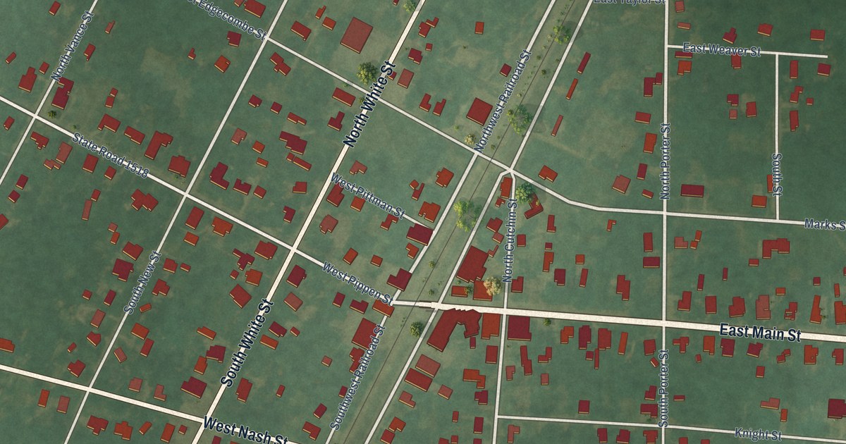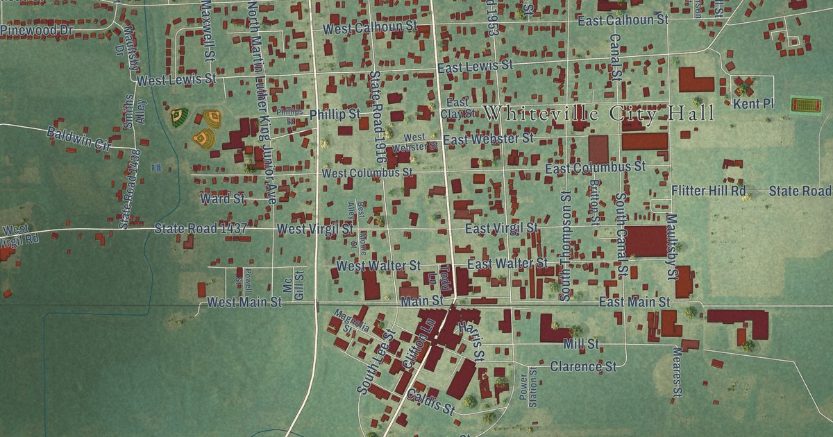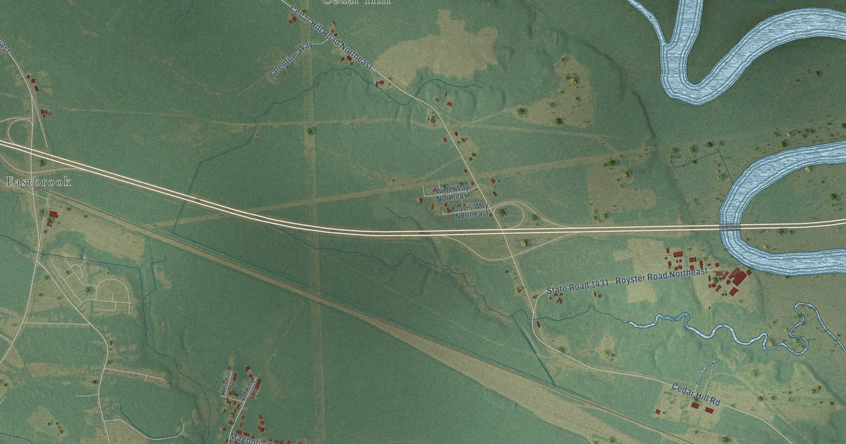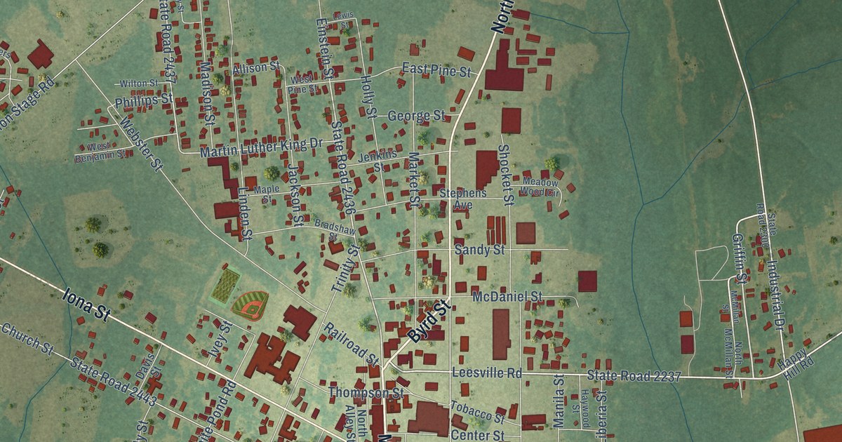
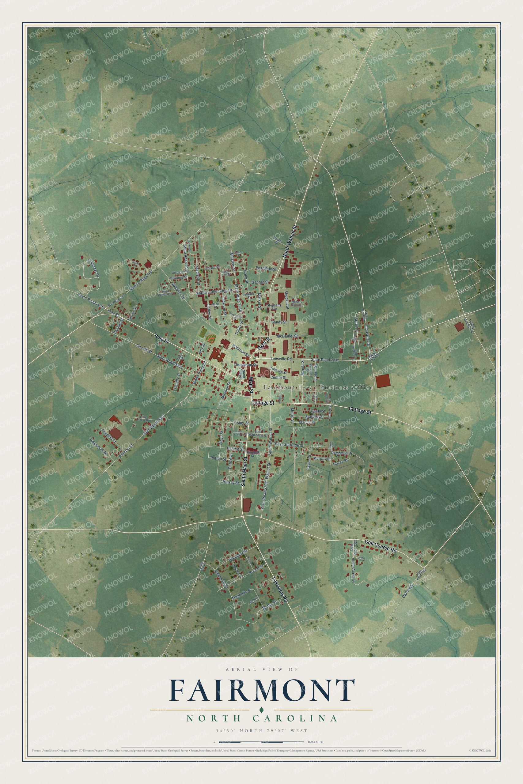
This beautifully detailed map of Fairmont, North Carolina was created in 2026 using aerial imagery combined with modern topographical, census, street and landmark data. It's a modern aerial view of Fairmont in Robeson County, North Carolina, that combines modern data with a vintage aesthetic. The roads feature printed names, and if you look closely you can find your exact house accurately shown in its correct location.
Explore an aerial view of Fairmont, North Carolina
On this map you'll find Fairmont Town Business Office, Byrd Street, Main Street, South Main Street, North Walnut Street, Lakeview Road, Golf Course Road, Iona Street, Cottage Street, State Road 2237, Leesville Road, Industrial Drive, and more. Each red shape is a building, so zoom in on the preview and look for yours.
Here is a piece of Fairmont history, in the words of the record. The North Carolina Gazetteer puts it this way: "Fairmont town in S Robeson County. Known first as Ashpole for nearby Ashpole Swamp. Inc. 1899 as Union City; name changed to Ashpole, 1901, and to Fairmont, 1907."
Fairmont is a town in Robeson County. The Census Bureau counted 2,191 people here in 2020.
Take a closer look at the Fairmont map
Names on this map
These names are printed on this map.
Places: Fairmont Town Business Office.
Streets and roads: Byrd Street, Main Street, South Main Street, North Walnut Street, Lakeview Road, Golf Course Road, Iona Street, Cottage Street, State Road 2237, Leesville Road, Industrial Drive, Griffin Street.
More street names, A to Z
Alexander Street, Allison Street, Ames Acres Drive, Bradshaw Street, Brown Street, Bruce Street, Bryant Street, Camelia Circle, Canal Street, Center Street, Chevy Road, Church Street, Collins Mill Road, Davis Street, Delano Street, Delmus Street, Dogwood Drive, East Gertrude Street, East McKenzie Street, East Pine Street, Einstein Street, Elders Court, Elizabeth Street, Fisher Street, Floyd Street, Franklin Street, Friendly Street, George Street, Halsey Street, Happy Hill Road, Hayes Street, Haywood Street, Holly Street, Ivey Street, Jackson Street, Jenkins Street, Lewis Street, Liberia Street, Linden Street, Little League Road, Madison Street, Magnolia Street, Manila Street, Maple Street, Marion Stage Road, Market Street, Martin Luther King Drive, Martin Street, Marvin Street, McCollum Drive, McDaniel Street, McKoy Street, McMillan Street, Meadow Wood Circle, Mitchell Street, Morro Street, Mulberry Street, Murphy Street, North Alley Street, North McMillan Street, Old Stage, Park Avenue, Patton Street, Phillips Street, Pinecrest Drive, Pittman Street, Powell Street, Railroad Street, Redden Street, Rosewood Road, Sandy Street, Shocket Street, South Liberia Street, South Powell Street, South Walnut Street, Stafford Street, State Road 2238, State Road 2298, State Road 2300, State Road 2323, State Road 2433, State Road 2435, State Road 2436, State Road 2437, State Road 2442, State Road 2443, Stephens Avenue, Taylor Street, Thompson Street, Tobacco Street, Trinity Street, Turkey Branch Road, Turner Street, Walnut Street, Webster Street, West Benjamin Street, West McKenzie Street, West Pine Street, White Pond Road, Wilton Street, Woodhue Street.
Created by KNOWOL in 2026. The buildings are small red shapes, the roads carry their printed names, and shaded relief shows the shape of the land. The title panel reads "AERIAL VIEW OF FAIRMONT NORTH CAROLINA" with 34°30' NORTH 79°07' WEST.
It suits a den, a classroom or a front hall, and it makes a gift for anyone with Fairmont roots. Open the preview and find the block you know. See sizes and frames for the Fairmont map.